/ South Island, Southland / By George
After leaving Milford Sound and making numerous stops down SH 94 we arrived back in Te Anau and went straight to ‘Fresh Choice’ to restock the pantry and fridge. It was almost dark when we arrived at the NZMCA Camp and sneaked a park between two caravans, as it was quite populated. This was our third visit here, as it is a pivotal location for the Fiords and has the largest supermarket. It was late to bed as is often the case following a late dinner and a return to internet access. The NPD service station opposite the NZMCA park has a good dump station, potable water and Ad-blue at the pump should you need it. The Alpaca frolicking in the field opposite are an entertainment on a dull day!
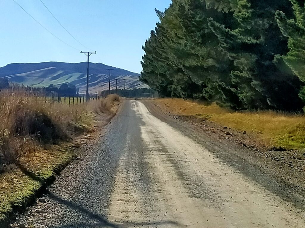
We set off on Sunday (23/05/21) morning for Mavora Lakes, a highly recommended destination (by fellow motorhomers Dennis and Ros), albeit a bit off the beaten track down a 37km gravel road. After turning left off SH94 about 5kms east of the ‘Keys’, the gravel road took over an hour to traverse to the South Mavora Lake. Although it was largely straight with gentle bends, there was a lot of loose gravel and you had to pick the firm wheel paths tracked over time. Being narrow this sometimes caused you to cross onto the opposing lane and with blind humps you had to slow appreciably to avoid a head on collision. Although the speed limit was predominantly 80 kms/hr, we never achieved that in the whole 37 kms.
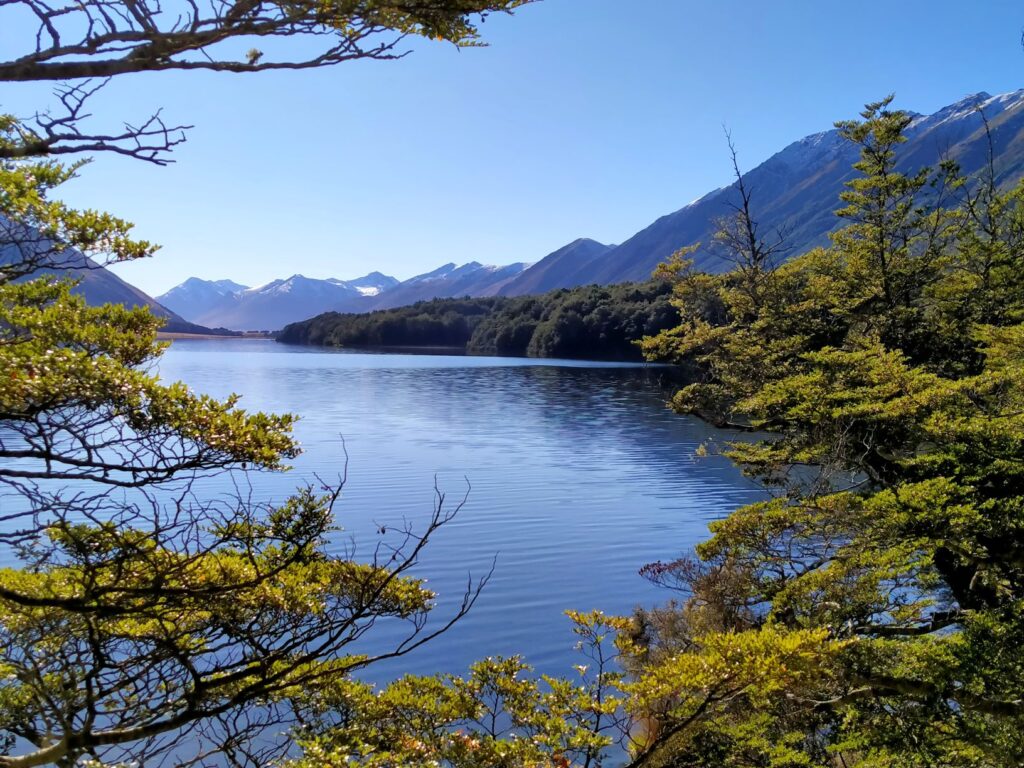
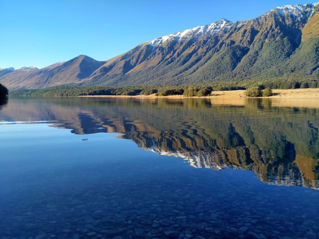
We first arrived at the South Mavora lake with the southern extremity located in a Beech Forest. The stunning scenery was immediately obvious, accentuated by the cloudless sky and only the slightest of breezes. This area, like many others we had encountered, was a photographic heaven. The mountains on either side of what was once a glacial valley, sloped majestically toward the lake and continued into the valley beyond, rising into snow-capped peaks like icing on a cake. We were actually heading for the much larger North Mavora Lake so did not linger here, but did take time out to the cross the impressive swing-bridge, which gave access to a walking track heading north through the Beech forest.
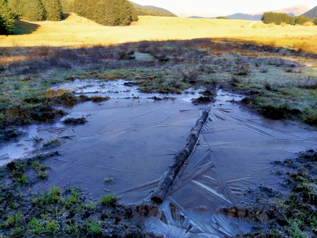
We continued north to our intended destination and as we did the dense Beech forest gave way to a much more expansive undulating valley of largely hardy tussock grasses, with smaller stands of trees. There were a number of gravel tracks leading off the main route down to the camping sites alongside the North Mavora Lake. At the end of the main road was the DOC Camp register station and a carpark, largely occupied by what appeared to be day trippers. In the shade of the trees at the end of the road we noticed some puddles completely frozen over, despite it being around 2.00pm. This was a sign of the temperatures that were likely down in this valley and lead us to seek a parking spot well out in the open to maximise sun and heat capture.
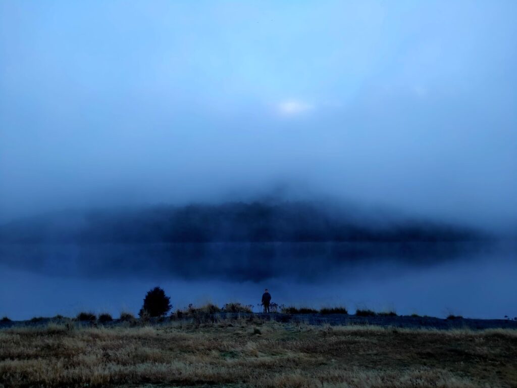
In the end we stayed here three nights, meeting Michelle on the first day, a solo traveller in an unheated large camper van and caravanners Alex and Di who arrived the following day. When we awoke on the first morning a heavy fog had come in, providing a foreboding background for photos. It didn’t lift until around midday making for a very truncated day of sunlight, with the sun disappearing behind the western mountains at 3.30pm. Still we kitted up in the morning and headed off on our bikes down the four-wheel drive road at the northern end of the camping area.
It was a challenging ride despite it being largely flat, as it alternated between the heavily gouged and puddle filled dirt track under the Beech trees to the poorly compacted river gravels along the lake edge. After recent rain the depressions in the forest track had filled with water and were of indeterminable depth, some being impassable even by the four-wheel drive vehicles. In addition there were flowing fords, fallen tree limbs and gnarly roots to navigate. We gave up after about 4 kms and had to admit this was really a hiking track and for the hard core four-wheel drivers. Still Debbie was excited by the experience and labelled it the best ride so far! Our hybrid E-bikes might not have agreed.
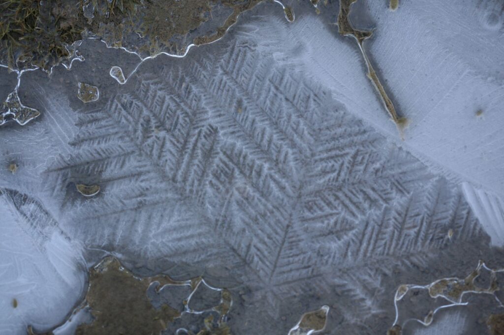
In the afternoon when the skies cleared there was a chilling breeze pushing small waves across the lake. The wind died away however to leave another cold, still evening with overnight temperatures reaching freezing. This provided some great white frost and frozen puddle images the following morning, which dawned cloudless, still and very cold. Michelle decided that another night of this was beyond her and left to head for warmer pastures.
We set off on foot across the swing bridge at the south end of the lake where it meets the Maroroa River and headed for the Southern Mavora lake. There is a walking track here that if walked to completion takes you to the swing bridge at the south end of the Southern Mavora lake (the one mentioned and shown in the photo above). This is a 2.5 hour one way hike according to the signage. Given we had to return to our vehicle for the night we intended to walk about half way and then turn back.
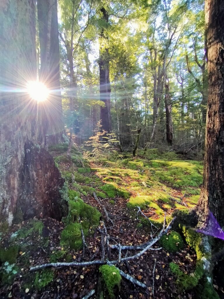
Like other Beech forest walks we had done this was extremely picturesque, being laden with bright green mosses and colourful fungi, accented in light and shade from the sunlight through the Beech tree canopy. Debbie has always been an avid macro photographer and this environment was ripe for her creativity and, we found out later, caravanner Alex’s also. The walk was constantly punctuated with photo stops, not just for the fungi but also for an extremely friendly South Island robin and the glorious views of the Southern Mavora lake, providing glass like reflections in the still and clear airs. We had lunch in the Beech forest sitting on a bed of Sphagnum moss in absolute serene silence. We shared stories and photos in the evening with Alex and Di as they had completed the same walk and taken as many photos.
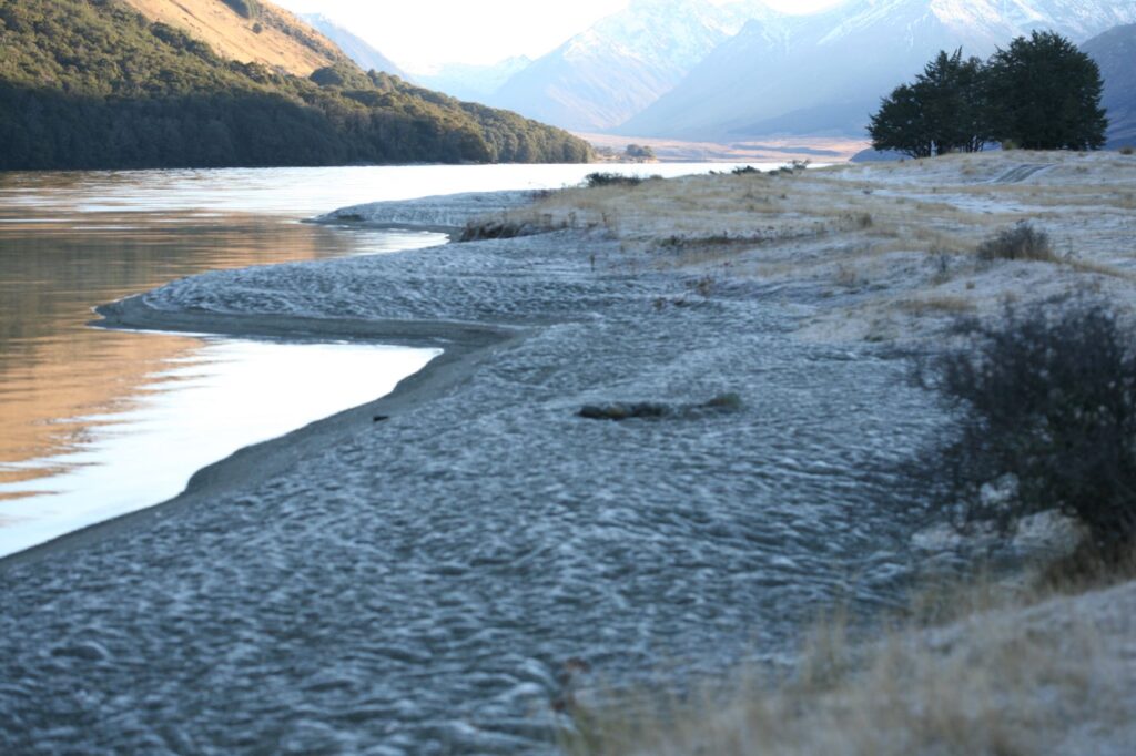
That night temperatures fell to sub zero, providing an even greater frost display in the morning. We managed to locate the columnar ice crystals that Michelle had shown us photos of on the first day, so that made for another macro photo session before we had to leave unfortunately. We were starting to run low on gas thanks to the necessity of all night heating, and some other supplies needing topping up along with the inevitable dump station visit.
All in all this was a ‘highly recommend’ destination. Despite the 37 kms of gravel road it is incredibly serene and a photographer’s paradise. On the practical issues there is no potable water on tap, but we simply took fresh water by bowl directly from the lake and used it without boiling. Toilets were adequate, standard DOC camp compostable type and there were several to choose from given the size of the campground. It also has a number of fire pits for camper use, but bring in your own firewood. There is no cellphone reception here, the nearest being about 12km back down the gravel road. Apparently this campground is very popular in summer, but there was a maximum of five vehicles on one night when we were there and the other nights there were less. Parking is mainly on grass although the base is very firm. Pick your spot with care after rain as there is ponding in places and I imagine it would take a bit of searching to find a nice level park if there were a number of campers there.