RV Kiwis Go International
23/04/22
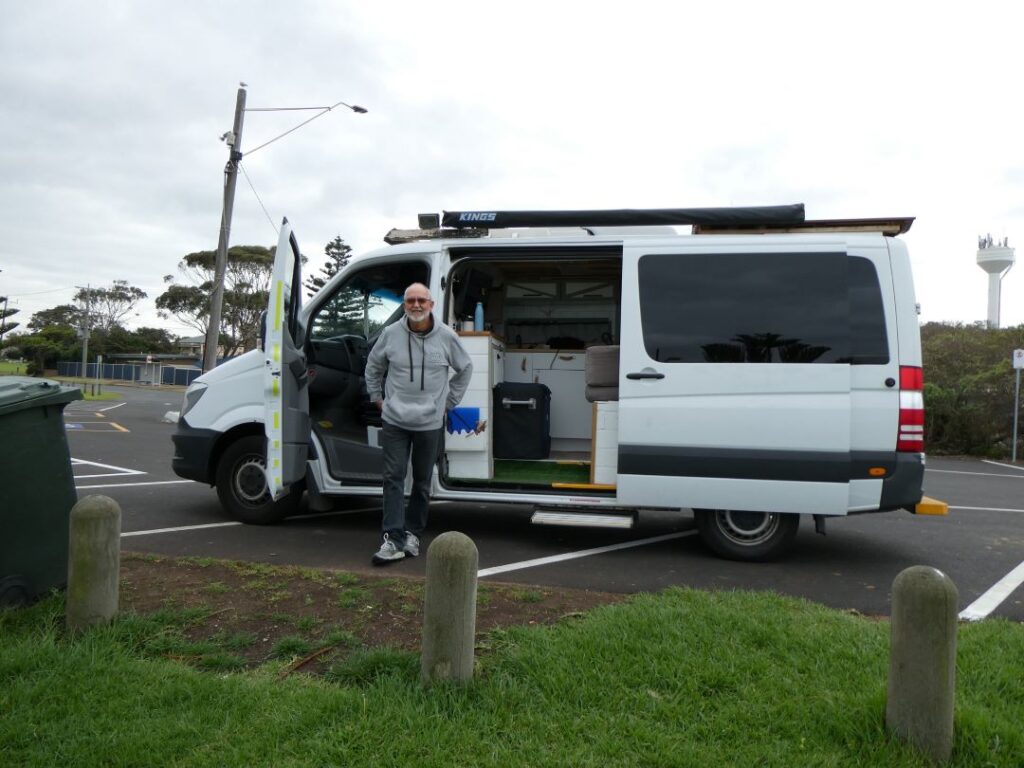
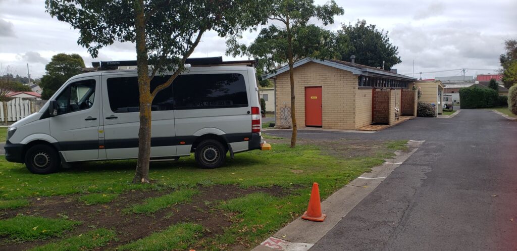
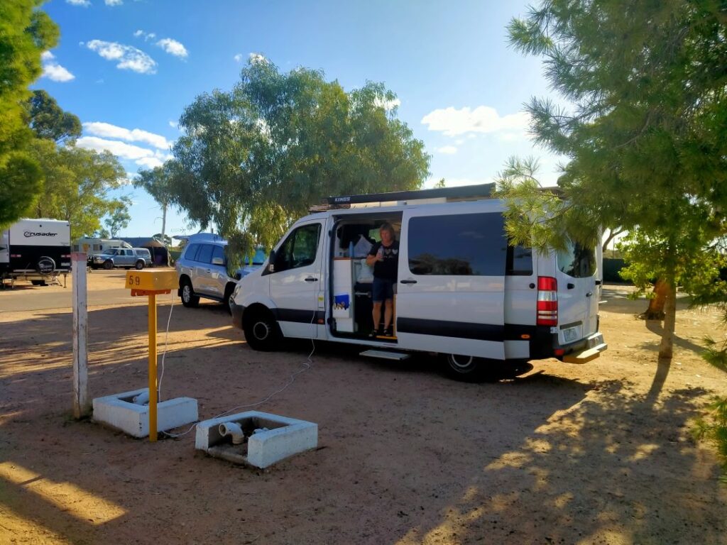
Well there it was in all its glory, our cut price private rental that would carry us a few thousand kilometres across Australia. A 2012 Mercedes ex ambulance converted lovingly by the previous owner whom Bill called ‘The Boy’! It took little time to get the feeling ‘The Boy’ might just have been a surfer, one in a great hurry to realise his dream of owning the quintessential custom van complete with the DIY rustic fit-out. How many trips he made to the beach we’ll never know, but we did discover the label off the surf board wax tin after a couple of days and we were amazed at our own astute premonition. How good a surfer he was we’ll also never know, but he certainly wasn’t a carpenter or cabinet maker.
Unfortunately, we however are not surfers and never have been, although I will secretly admit in my youth I did want to own a custom panel van. We had accepted, because of the price there would a ‘no-frills’ element to our camper, but this van pushed the boundaries way below our limited expectations. Bill was a nice man, who had owned the van for six months and had had it serviced the day before we collected it. He had also taken out roadside service cover after we had asked about it. He took us through the basics of how the ‘features’ of the van operate and those elements that didn’t!
The one big plus of this vehicle, which none of the commercial rentals had, is the invertor (‘power station’ in this case) providing 500 watts of power when ,off the grid,. I have a CPAP machine that requires 90 watts and enough battery to last for 7-8 hours per night when not on a 240 volt supply. This of course enables us to free camp, a significant cost and location advantage. Bill assured us the house battery was 100aH and would do that job. However, the portable fridge (to us a powered chilly bin) ran off both 240 and 12V power, so when off grid this was also drawing off the house battery. The house battery was charged by a 100W solar panel or the 240 volt supply when connected, so off grid charging was minimal. The conclusion of all of this technical waffle was that we would have to stay on powered sites reasonably regularly to ensure we have sufficient power for all our demands (which included of course charging of phones, cameras and laptops).
The features of the van were crude. There was no hot water, the two burner element on the bench inside was new and tidily mounted but had never been connected to the gas supply, and there was no heating. There was no dining table although the remnants of a post bracket for the leg still existed. We ran the fridge on DC the first night but the DC supply was inconsistent and the fridge wouldn’t operate. It probably drew some current from the house battery as my CPAP machine died sometime in the night. In lieu of the internal hob-top Bill provided a camp cooker and a loose 2.0 kg gas bottle, although he had no idea if there was any gas in it! I lifted it and figured there was some, although in NZ we use 9kg bottles.
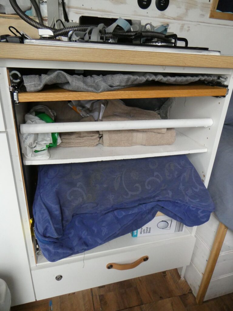
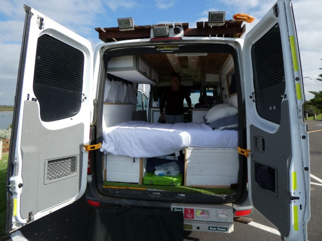
As far as loose essentials there were none. There were three imitation pot plants that we got him to remove (space was extremely limited) but no cutlery, crockery, pots, pans, cooking utensils, bedding, pillows, dishcloths or tea towels. He had no idea if or where the spare tyre was and we came to the obvious conclusion that he would never have spent a single night himself in this van, or perhaps any camper van. There were a couple of reviews from renters, but we sensed these might have been from youngsters who probably rented for one or two nights maximum. Bill must have thought he had hit the jackpot with us taking it for five weeks, but it was never set up for this sort of extensive travel, particularly with two retired oldies at the helm.
We deliberately spent the first night close to Melbourne, at Werribee to be exact. We hadn’t made a booking at the camp there and it was the long Anzac Day weekend. We arrived at the camp around 8.00pm after having to shop for numerous necessities, to find the office closed and a sign on the door that read “We are fully booked. Have a nice day”. We were tired, frustrated and the van was jammed with our purchases, some food and all our clothes that we hadn’t had time to arrange into the limited storage. You can imagine that our thoughts were …. “What the hell are we doing in this crazy predicament” as we parked up on a grassed area near the campground, crudely made up a bed and buried our heads in the pillows.
There was a lot of sleeplessness that night, although it was mainly Debbie churning our situation over after I finally dropped off. We were clearly of the opinion, despite having stocked up provisions to make the van more usable, that we would contact Bill and return this ill equipped surfer’s renovation disaster to it’s naïve(?) owner. I was awoken by the failure of my CPAP machine around dusk and lay there feeling bitterly disappointed that we would have to abandon what could be a challenging but rewarding adventure. The limited space inside the van was almost claustrophobic given I couldn’t even fully stretch out in the length of our sleeping area.
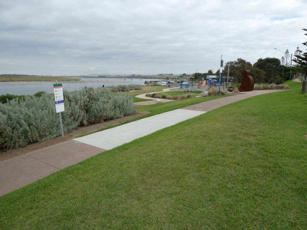
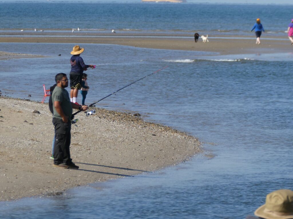
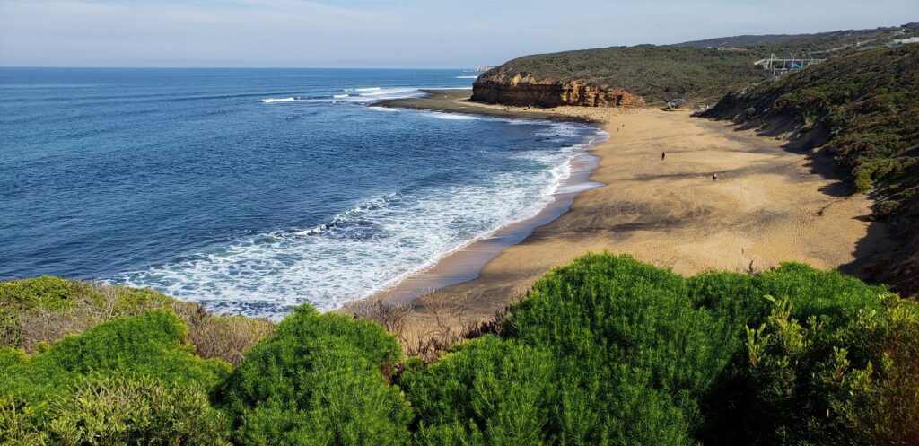
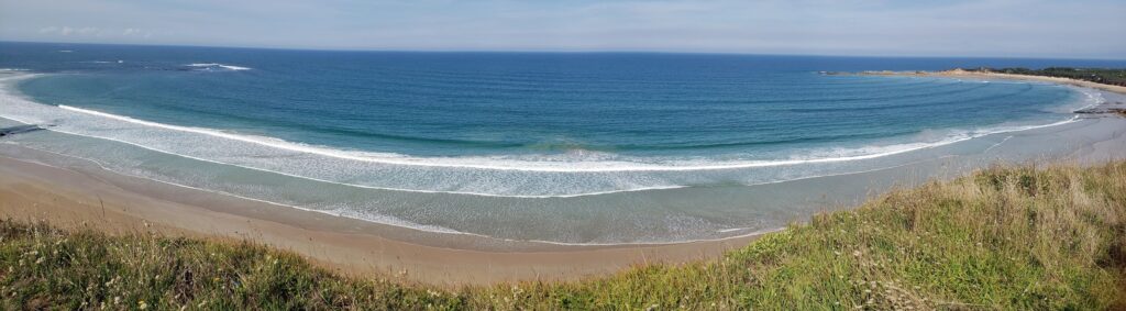
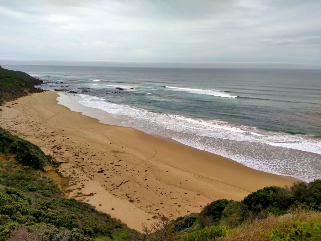
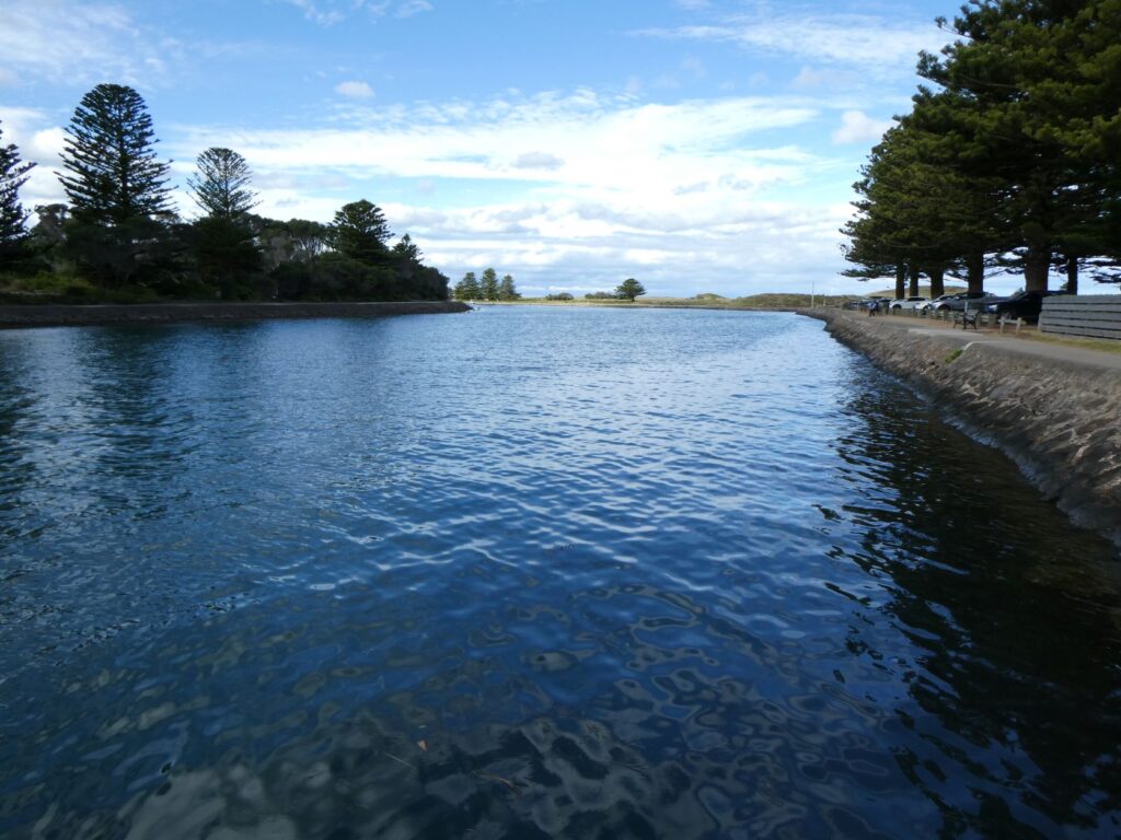
We moved immediately from our free camp spot from fear of being reported by the occupiers of nearby residences, as it appeared they may be fairly discerning given the presentation of their properties. We moved to the beach carpark and finally threw open all the doors of the van to reveal a stunningly sunny morning and a picturesque scene of the Werribee South beach, boat ramp and southern ocean lying peacefully still. There were fishermen on the banks at the mouth of the Werribee River and a continuous stream of boaties moving in and out on this holiday weekend Sunday morning. It was then I realised whilst the van is an essential part of this adventure it is not the adventure itself.

The great sights and sounds of this country lie beyond the confines of the vehicle and I was not about to let the shortcomings of the van destroy what is the much bigger picture. It only took a little convincing to get Debbie on board. We decided to spend two nights in a Geelong campground to get the van and the itinerary organised before we would head off down the Great Ocean Road.
GEELONG (24-25/04/22)
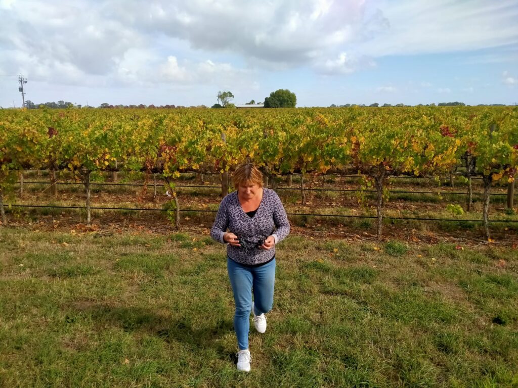
Just a short drive south from Werribee to Geelong and more shopping at Coles and K-Mart for camping essentials and food. We had set ourselves a budget of A$50 per night for campgrounds, but did not intend pre booking any except for the iconic and/or isolated locations were alternatives were limited. Debbie is great at doing research and had sussed out that the Barwon River Holiday Park was good value and close to the shops. We arrived there on the Sunday afternoon of the long Anzac weekend, which was the last days of the school holidays here. The camp was quite well occupied, but there were still enough vacant powered sites for us to have a choice. It was a big camp with a large number of tent sites, caravan and camper sites along with numerous cabins and some permanent residents. Facilities were excellent with a number of toilet blocks and a well equipped kitchen. There was a massive bouncy pad for kids along with a heated swimming pool and barbecue area.
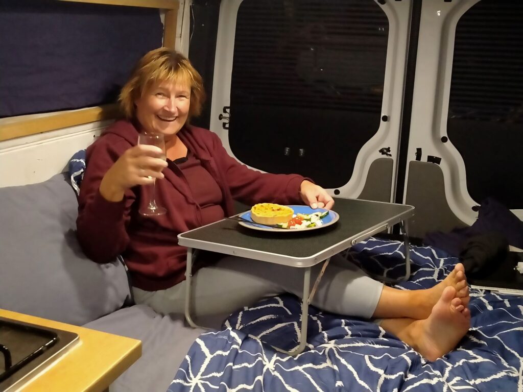
With a few thoughtful purchases we made the van somewhat more livable, the table above being Debbie’s dining table, her laptop desk and hope for breakfast in bed! Of course campgrounds afford the ability to enlarge our living space to include the camp facilities, a saviour for something this cramped. Without 240 volt power the issue with power for my CPAP machine and the fridge would not be solvable. Even with power the fridge temperature settings are causing us major issues. We set the temperature at 4 deg C and it froze everything solid! We are still dabbling with the correct setting, but it means we tend to cook any meat the same day we buy it.
The Monday was Anzac Day and the camp emptied out majorly throughout the morning. We had been fortunate with the weather, although the nights were getting colder (lows of around 10 deg C) and today was no exception, although it started out a little foggy. In the sun the temps were in the low 20’s and we took advantage of this, locating ourselves on a picnic table by the barbecue area/pool. We spent about 2-3 hours mapping out our journey to ascertain if we had enough time to complete all our intended destinations and be able to return to Melbourne by 29 May, the date we had booked for the campervan’s return.
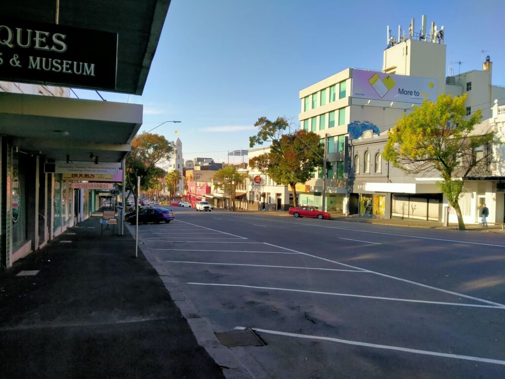
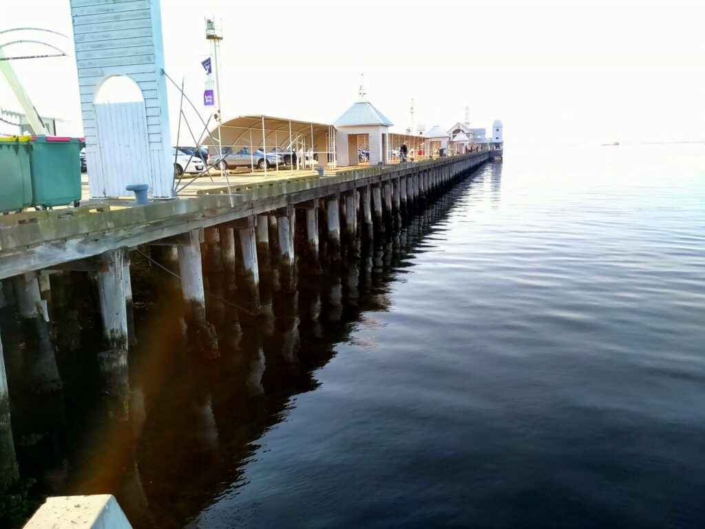
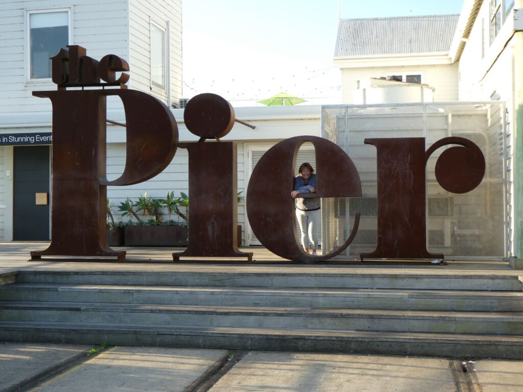
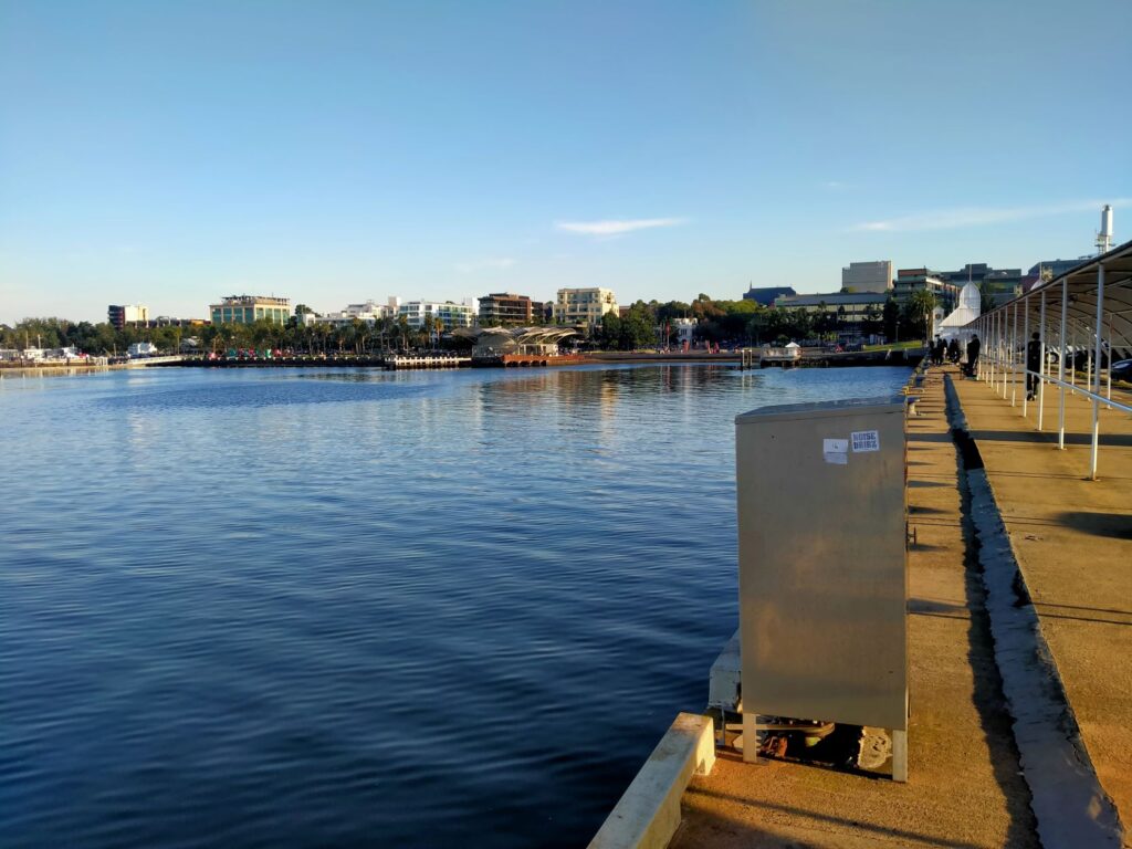
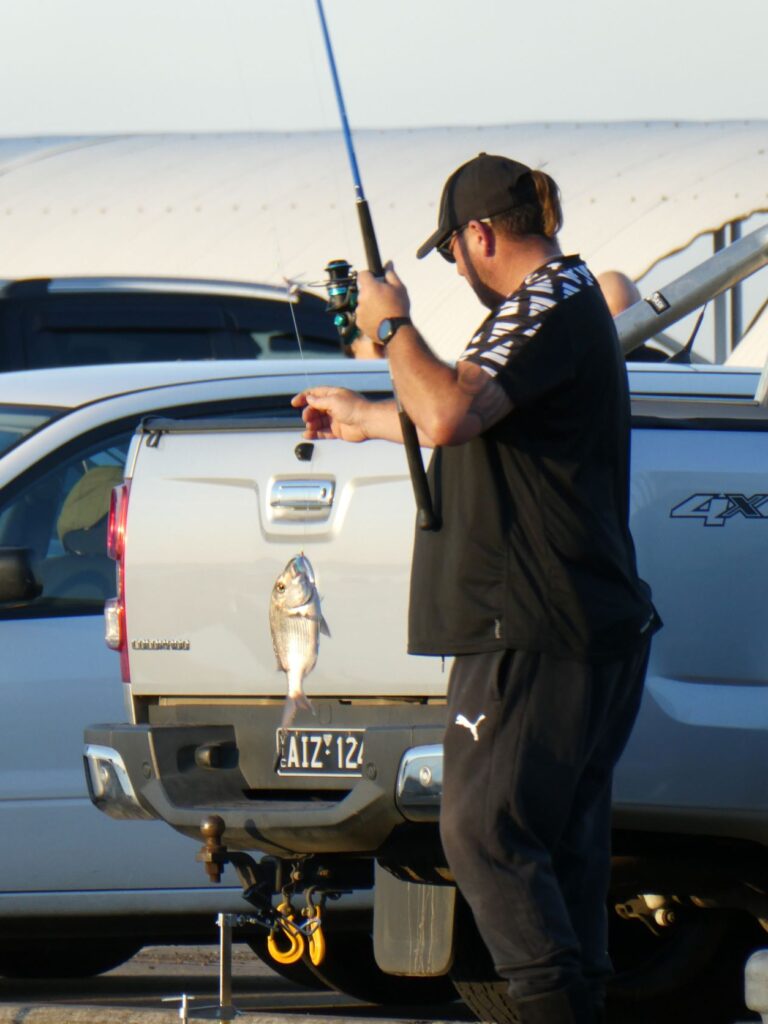
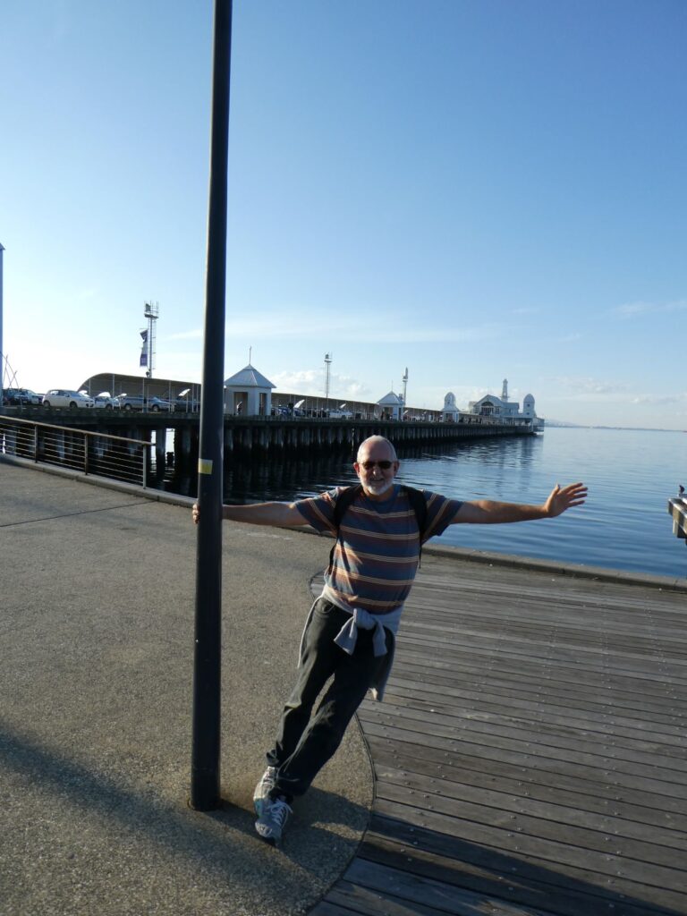
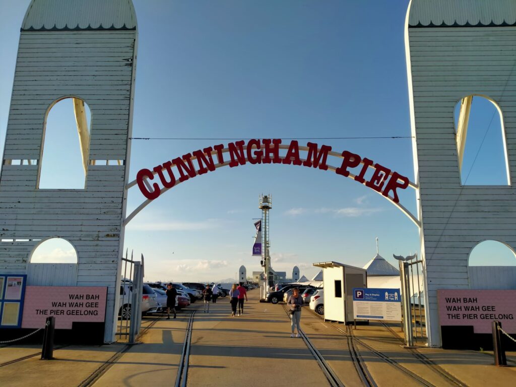
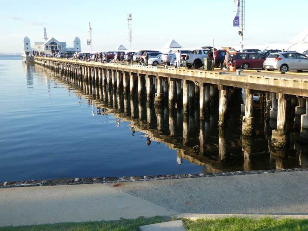
It was mid afternoon by the time we had completed this exercise, but decided we needed to see the sights of Geelong before we headed off tomorrow. It was about a 2 km walk from our campground to the Geelong waterfront, up a rising main street and then a gradual gradient down to the pier, gardens, sky wheel (aka Ferris wheel) and other attractions. Whilst the main street was deserted because of the holiday, the beautifully presented waterfront was alive with families, sightseers like us, diners at the few establishments open and fishermen/women. The Cunningham Pier is a significant feature here and was swarming with fisherfolk, many of whom were having success landing small snapper. The atmosphere was a buzz on this windless late Anzac Day afternoon as we purchased an ice cream and strolled back to our campground as dusk brought down the curtain on the day.

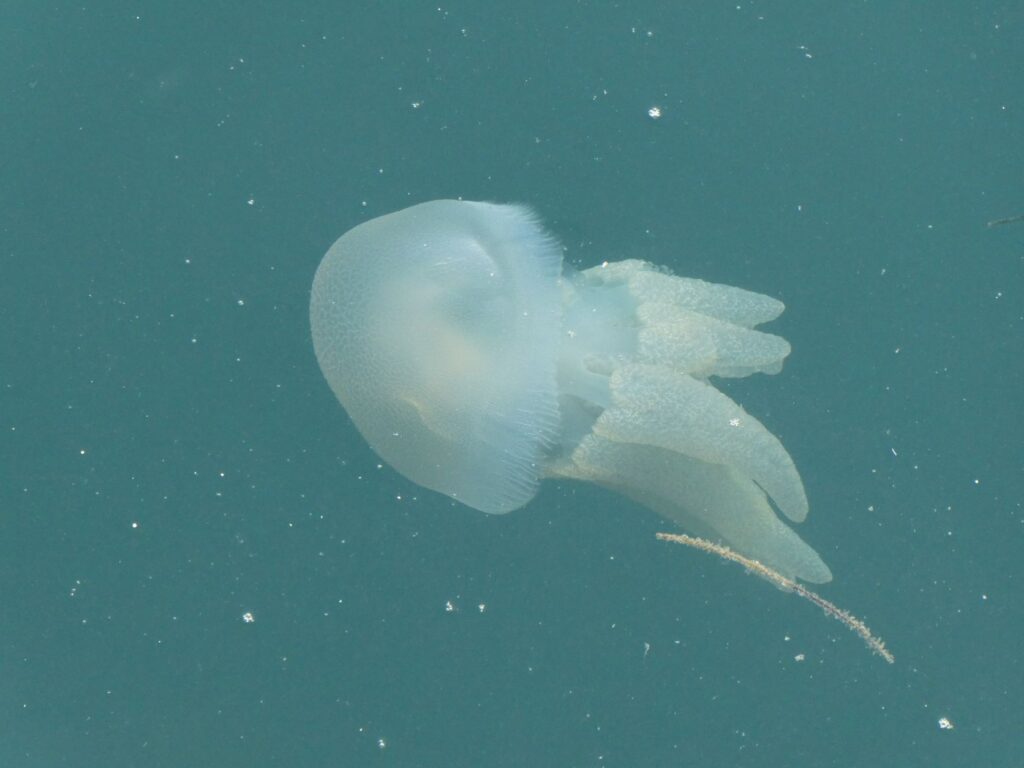
In Melbourne we purchased a compact Panasonic camera with a very large zoom, to enable us to take photos of some of the wildlife. The photo of the pelicans at Werribee above is an example of what is achievable. Whilst at the waterfront in Geelong there was a multitude of jellyfish swimming around the pier and Debbie managed to capture a few shots of some of the larger ones. The below is one of those photos.
Torquay (26/04/22)
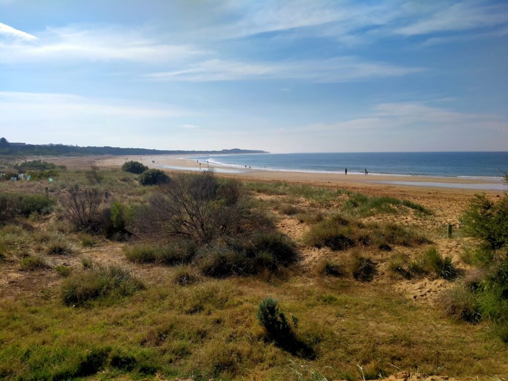
The Great Ocean Road stretches along the southern coast of Victoria some 240 kms from Torquay to Allansford, where it joins the Princes Highway. However some promotional websites seem to say it goes all the way to Mt Gambia in South Australia! For us we are going to say it concluded at our stopover at the campground in Port Campbell. The road was constructed by WW1 soldiers in memory of those Australians lost in this war and is therefore classed as the longest war memorial that exists in terms of physical length. This southern coastline is often described as windswept and rugged, but it was far from it on this first day of travel for us. We stopped very briefly at Torquay to acknowledge the true commencement point, with the sun shining brightly and modest waves rolling onto the relatively unblemished white sandy beach. The dog café on the beachfront must be the drawcard for the very large number of canines and their owners walking along the foreshore and surrounds. There was a surf rescue facility and angling club here, but little sign of activity at these on this workday Tuesday morning.
Bells Beach (26/04/22)
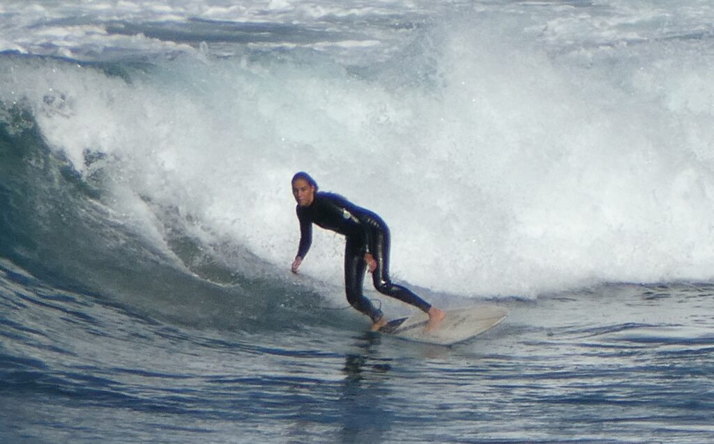
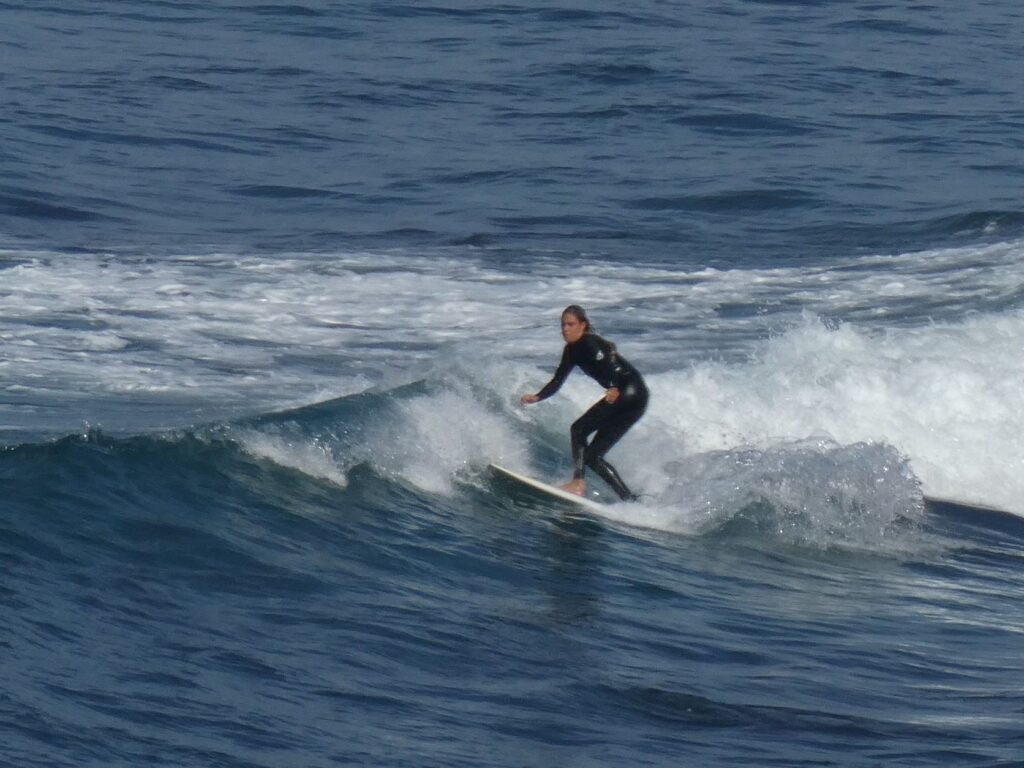
We started down the Great Ocean Road with our first stop being Bells Beach. This is one of Australia’s iconic surfing beaches, which hosted the recent Rip Curl Pro competition, an annual event. Despite the weekday there were a number of surfers present and workmen were also active here removing all the spectator and media staging from the recent Pro event. Carparking is just off the road with a short steep walk down to the lookout. The surfers have to walk considerably further down timber stairs to the beach. You can see from the photo below that the lookout is a long way from the surfers, who are barely discernable in the photo. However Debbie persevered with the full zoom on the compact camera and achieved the results you see in the other photos. Quite a remarkable effort. We really felt in our element here in our ‘surfer van’ with all the right stickers on the back. However the lack of a wetsuit, boards and long blond hair seriously hindered our inclusiveness.
Anglesea Beach (26/04/22)
A further 20 mins drive west from Bells Beach is Anglesea, which we stopped at briefly to view the stunning white sand beach from the Great Ocean Road. It was remarkable as there wasn’t a sign of any stones, shells, driftwood or seaweed along this entire foreshore, despite it’s exposure to the Bass Strait. We didn’t venture down onto to the sand for a closer inspection however, as we had many more kms to do today and the lookout from the road is well above the beach, making it a long walk.
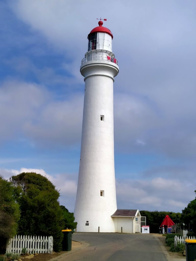
Split Point Lighthouse (26/04/22)
Another 20 min drive took us across to Split Point lighthouse on the Aireys Inlet. There is a small settlement of houses here. Originally housing was provided for the lighthouse keepers before the light became automated in 1919. Constructed in 1891 it stands 34 m in height and tours are available to the top via the spiral stair, affording a panoramic view out over the ‘Shipwreck Coast’. This whole coast line from Torquay through to Port Fairy is so called for obvious reasons and it is estimated around 700 ships have foundered in these waters. The lighthouse is still very much a part of marine guidance in this area. We didn’t take the climb to the top, but you can take the self-guided tour for a small fee of A$10 currently. The original system of prisms and lenses still focuses the beam from the lighthouse today and on a clear night it can be seen over 30 km out to sea. Note that the first image in the slideshow below is taken from the base of the tower not the top!

Lorne (26/04/22)
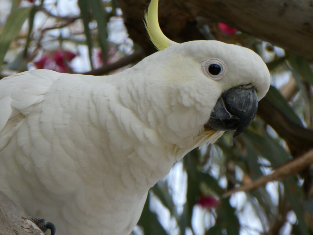
Another 20 min drive took us to Lorne for lunch. Unfortunately Covid had taken a toll in the café and there was limited food and drink available because of staff shortage, but we managed to share a chicken wrap, some carrot cake and a hot drink each. This is a seaside town of a moderate population and a well kept retail come hospitality precinct along the waterfront. Here was one of our first encounters with iconic Australian wild life, the Cockatoo. We first spotted one in a tree and thought that was pretty amazing, grabbing the camera to get the all important shot before it escaped. After lunch we walked a little further to find a whole tree of them, then one crossing the road and others on the glass screens right beside the patrons where we had just dined. We saw the signs saying “don’t feed the cockies” and realised like other creatures here they had become more of a pest than a rare and beautiful find. Still it sort of ticked a bucket list item to see them in the wild!
On the beach, surfing lessons were being held for what looked like young teenagers. We wondered if this was a subject option for students here as this was definitely in school time and on a school day. The weather wasn’t great to be honest as it had clouded over and was quite cool now, but I suppose that was just an integral part of being a surfer in these waters.
Eagle Rock Marine Sanctuary (26/04/22)
Another lookout stop en-route to Apollo Bay. The 17 Hectare sanctuary affords protection to a range of marine life and fauna. The presence of kelp here creates a forest-like environment for many marine mammals. Once again our snapshot of this area was from the lookout at road level and didn’t look dissimilar to a number of other bays we had seen on the drive so far (and not unlike those on the New Zealand southern coast line). Nonetheless we were enjoying the ability to stop regularly along the 114 km journey between Geelong and Apollo Bay, and the sun had broken through injecting some well appreciated warmth into the day.
Apollo Bay (26/04/22)
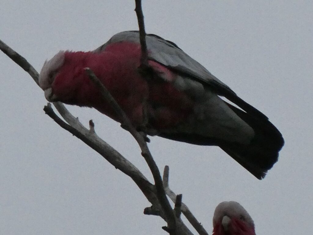
We finally arrived at Apollo Bay Late in the afternoon and the weather had turned much cooler. We chose the Apollo Bay Recreation Reserve, which was not the flashiest by any means but cost us $40 for the night nonetheless. The camp was very large and adjoined the local playing field where youngsters were training in ‘Aussie Rules’. Our site was on grass and looked across a small river to farmland beyond. Despite some older amenities at this camp it was well maintained and we found it had one huge advantage over most other camps. After meeting one of the caretakers and another visitor we were discussing Australian wildlife when they casually mentioned that there were koalas in the trees directly behind where we had parked! We were gob-smacked as we imagined you would have to disappear into the outback and wade through snake infested forests of gum trees to find these creatures (unless you went to the zoo of course). But here they were sure enough, one in each of the two trees and it was time for the compact camera and the super zoom lens. Debbie managed to get a shot of some Galahs here also, along with another familiar bird (no they are not native to NZ!)
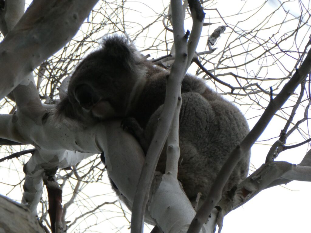
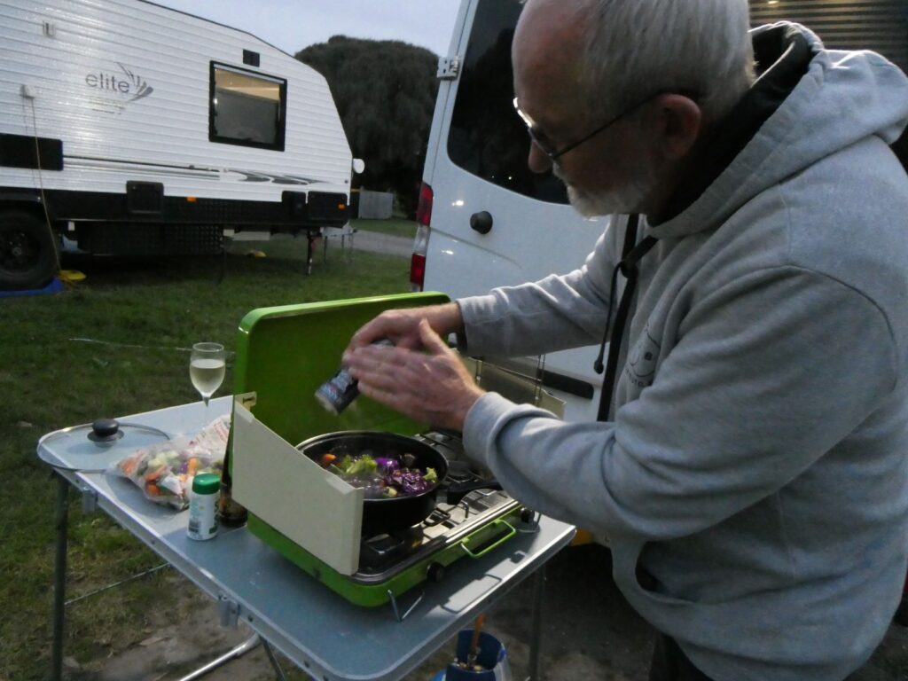
Despite the cold we decided to cook a stir fry dinner under the stars tonight, to try out the camp cooker supplied by the van owner in lieu of the internal hob. It would probably be a more workable alternative throughout summer or in the climate of the warmer north. Still we persevered and the locals said we might see the koalas come down from the trees and walk across the ground to a different one, as they did this under the cover of darkness. It maybe didn’t help that we had the external ‘ambulance’ lights turned on so we could see what we were cooking. These were very bright LED spotlights, which the owner decided to maintain and wire up to new switches. These were proving to be most helpful with the end of daylight saving. Despite hanging around outside for a while after dinner we didn’t see the koalas come down, but sure enough in the morning one of the koalas had disappeared from its tree.
Glenaire (27/04/22)
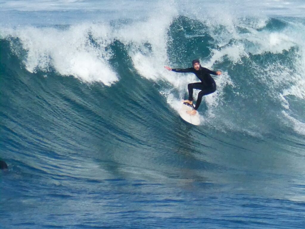
Day 2 on the Great Ocean Road and our first stop was another surf beach. The track down for the surfies wasn’t blatantly obvious but seemed quite a trek as we watched some traipse down a weathered track far in the distance. There were a few surfers up on the road lookout with us checking it out and there was already a few in the water. It looked like a pretty healthy break out there with some decent rides being had, and the guys near us seemed to agree as they started stripping off and pulling on their wetsuits. Debbie broke out the camera (no not because they were stripping off!) and we hung out here for a short while, while she got some action shots. Didn’t see anything by way of amenities here but the surfers wouldn’t be bothered anyway.
Princetown (27/04/22)
Moving along we checked out Princetown, which is just off the Great Ocean Road. There was nothing really of note here, just a refurbished old store that was built originally in 1922 (it was closed and we had no idea what it is used for now); a view of a river from a small lookout where we met a friendly couple who pointed out that the three birds circling in the distance were eagles; and a toilet block which both ourselves and the friendly couple found useful. Could skip this village if you are in a hurry… or even if you aren’t actually. Its importance lies in the fact that the next iconic scenic attraction we visited lies within the district of Princetown,
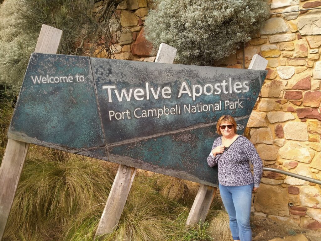
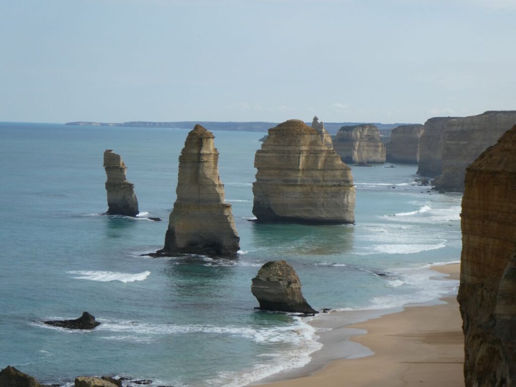
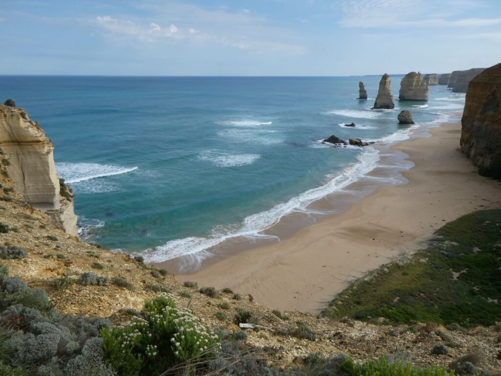
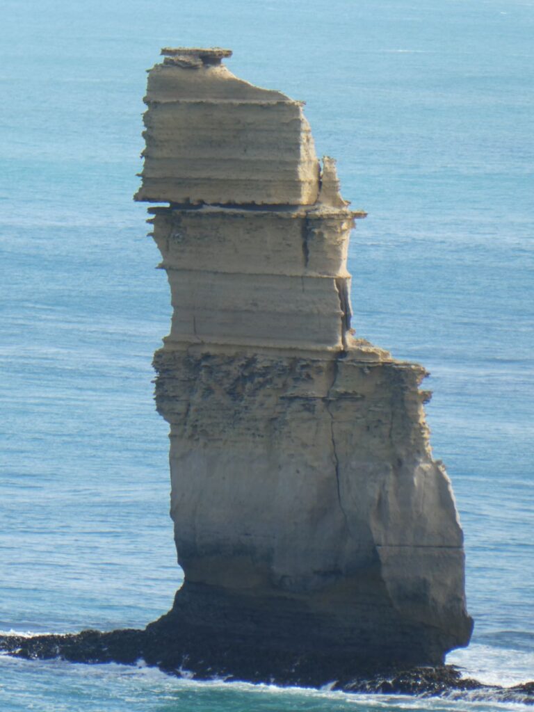
The 12 Apostles (27/04/22)
This was one of the must see attractions along the Great Ocean Road as advised by other travellers and all promotional brochures. The 12 Apostles are limestone rocks standing up to 45 m high, that have become isolated features as a result of erosion over the last 70 million years. Truthfully there are only seven left and even when they were named back in the 1920’s there were only nine! Apparently they were so named because they stood tall and proud along the coastline. This whole area is formed from limestone rock, and erosion continues to create dramatic vertical cliffs, arches, caves and natural sculptures.
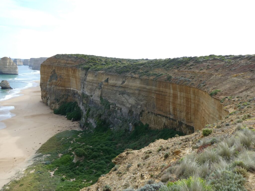
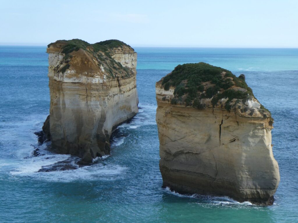
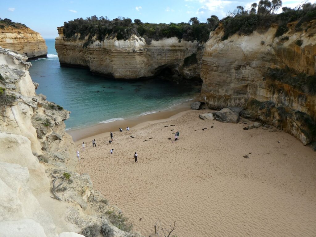
Loch Ard Gorge (27/04/22)
4 kms further west and still within the limestone formations is Loch Ard Gorge. This is definitely worth a stop. There are a number of walks from the carpark here, some of them taking a couple of hours, so if you want to see everything it is not a fleeting visit. The name Loch Ard comes from a ship that was wrecked here back in 1878. The ship was a clipper , a long fast passenger carrying sailing ship carrying 17 wealthy passengers and 37 crew, travelling from Liverpool in the UK to Melbourne, where the passengers were to settle. After 13 weeks of sailing the ship was only days from Melbourne when it struck bad weather and thick mist off the coast of Port Campbell. The ship drifted about 100 miles off course and when the mist lifted the captain realised they were very close to the cliffs. Although he attempted to avert them it struck the rocks on Mutton Bird Island and sank in the space of 15 mins. There were only two survivors. These survivors along with some of the shipwreck debris washed into the gorge, hence the name.
Despite the tragedy that occurred here the gorge and small beach it encloses was a beautiful sight as we looked upon it on our visit there. We didn’t do the longer walk to the cemetery where some of those lost in the sinking are buried, but we did walk down to the gorge and beach where the two survivors were swept in. The weather was fine and the seas fair during our visit, giving the feeling of a secluded paradise almost. However the cliffs loomed large above us and there were caves where the limestone had been eroded severely. One of these caves was where the survivors, a young male crew member and a young female passenger sheltered after coming ashore. The male crew member climbed the cliff, which must have been a feat in itself and sought help from a local farmer. Our observation belies the harsh conditions that can exist on this ‘Shipwreck Coast’. Debbie thought it was the most beautiful beach she had ever seen and I guess it was a solace for the two survivors that day. It is extremely popular with the tourists judging from the number on the beach the day of our visit.
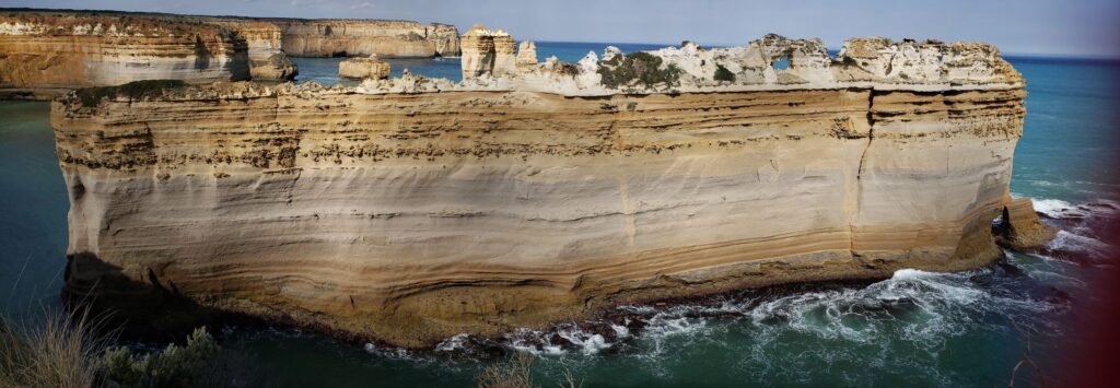
We also took a walk at the same location to a spot where there was another significant limestone feature, the razorback as it is called. There are other interesting features at this location, but we didn’t have time to walk to them all.
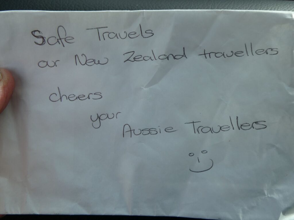
Coincidentally we again met up with the very friendly couple that we encountered at Princetown and when we got back to the van they had left us a lovely note on the windscreen. Whilst we poke a lot of borax at our Australian counterparts we have met some very friendly and warm people here. Here is the note they scribbled on a paper bag!
Port Campbell (27/04/22)
Although we could have made it to Warrnambool or Port Fairy, we decided we had done enough for the day (100 kms) and decided to stop at Port Campbell, which had been recommended to us by others we had met along the way. We had spoken to a number of other travellers, some of whom we had met more than once at camps or scenic features, as we all followed a similar route down this road. Port Campbell was obviously on the coastline, but it is by no means a major port. There was a small jetty protruding into a tiny bay that contained a beach, which would have been very inviting on a warmer evening. The camp had ample space for us and rolled out the green carpet in our honour. This was a welcome change from some of the dirty surrounds we had encountered. The facilities here were excellent with the kitchen overlooking the campsites and the cost for the powered site a reasonable A$35.
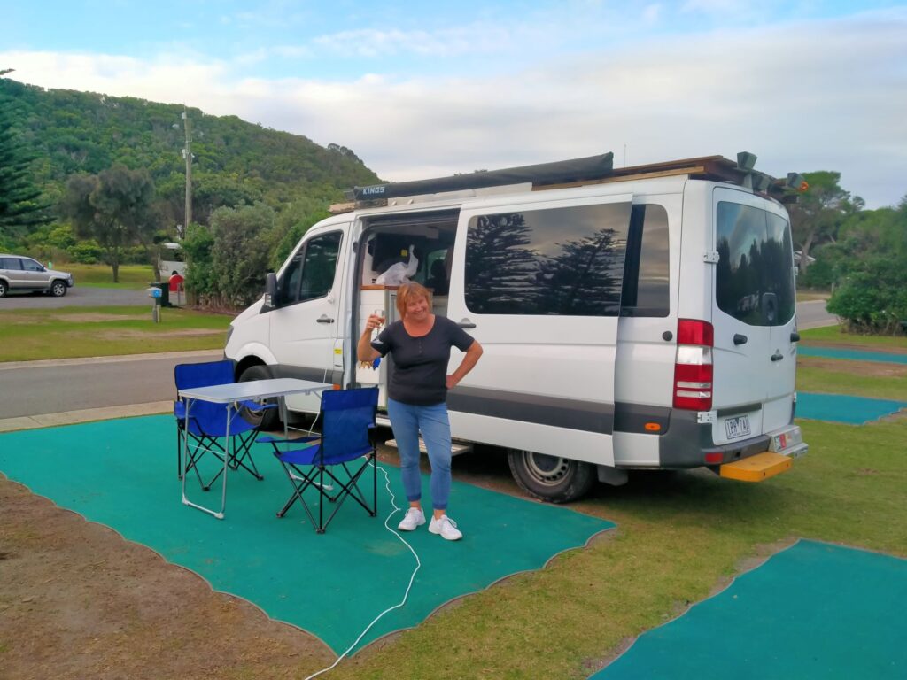
Coincidence struck again as the ‘Aussie travellers’ who wrote the note above turned up at the camp. We had told them we were heading for Port Fairy tonight and they were just travelling around by car and had stopped here to do a walk to the headland. As they came down the walkway from the hill they spotted us and this time we swapped details and may catch up with them in their home town of Echuca in northern Victoria. It was great to be able to thank them for their kind note.
The walkway out to the headland is via a suspension bridge over the river with access directly from the camp, which leads to a staircase up the hill. We didn’t have time to take this rather lengthy walk on this one night stay and just walked up part of the stairway for an elevated view of the camp. We dined out at the local restaurant this evening, since we had been cooking for ourselves the last few nights and felt like a meal of something more interesting than camp food! The meals were simple bar type food, but with generous servings and reasonably priced. Chicken parmigiana seems to be staple bar food in this country, which they serve with chips and salad. Not my first choice combination but I ordered it and enjoyed someone else’s cooking thankfully anyway.
Port Fairy (28/04/22)
En-route from Port Campbell to Port Fairy we stopped briefly in Warrnambool at the supermarket to stock up. We’d been having trouble getting the electronic key to lock and unlock the van doors, so called into Bunnings to see if they could help with a new battery for the key. The couldn’t but pointed us in the direction of the local locksmith. I wasn’t convinced they would be able to help either and thought the best bet would be the Mercedes dealership, but finding one might be an issue. We passed the locksmith as we were heading out of town and a few hundred metres further along I saw the a Mercedes symbol indicating a dealership, which pleasantly surprised us in a town this size. It was a stroke of good fortune and within a short space of time for A$6 our problem had gone away.
Port Fairy is 90 kms from Port Campbell. The weather was once again fine but cool and we made our way to the (Moyne) river, which seemed to be the most populated and scenic area of the waterfront. The town is primarily a fishing village and there were a number of fishing boats tied up along the jetty, together with a small launch offering cruises of the bay. The river was busy with a steady flow of motorboats arriving with rods in their holders, and on the jetty across the other side of the river was a fisherman carrying what like a decent sized kingfish to me. The local working fishermen here are catching crayfish and abalone and there were sales of seafood being offered on one boat at the jetty. We spoke to a local old fella who was hauling up a small net from the jetty walkway and emptying it into a bucket. He said he was catching shrimps and had also managed four whitebait, all of which were swimming around in the bucket. I’m not sure what he was going to do with them but that wouldn’t be much of a whitebait fritter!
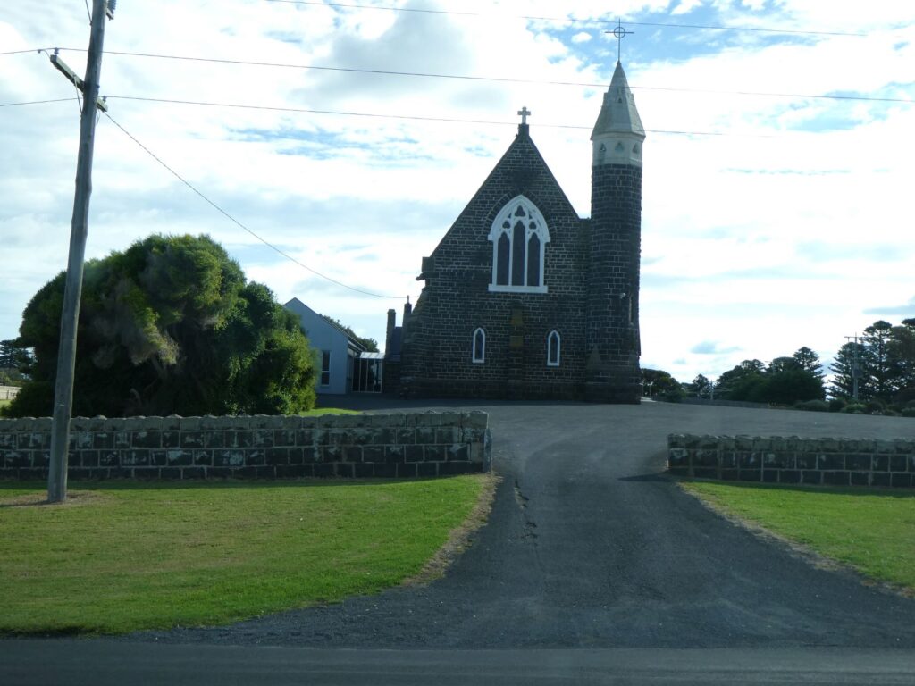
It was another town that hosted us for a very brief visit. Our route out of town meant we missed the main part of the township, which by all accounts has some 19th century dwellings and antique and art shops worthy of viewing. Along the waterfront there was an eclectic mix of modern dwellings, apartments and historic buildings, some offering holiday accommodation. We managed to take a quick snap of an old stone church when we stopped at an intersection on the way out!
We headed for Mt Gambia some 154 kms from Port Fairy down the A1. This would mean crossing the border into South Australia, which we felt was a milestone moment. So we stopped, read and dutifully followed the Quarantine Restrictions like honest kiwis! In part they read “fruit, vegetables, plants and grapevines prohibited” and we’d just bought some grapes from the supermarket, still connected to the stems,
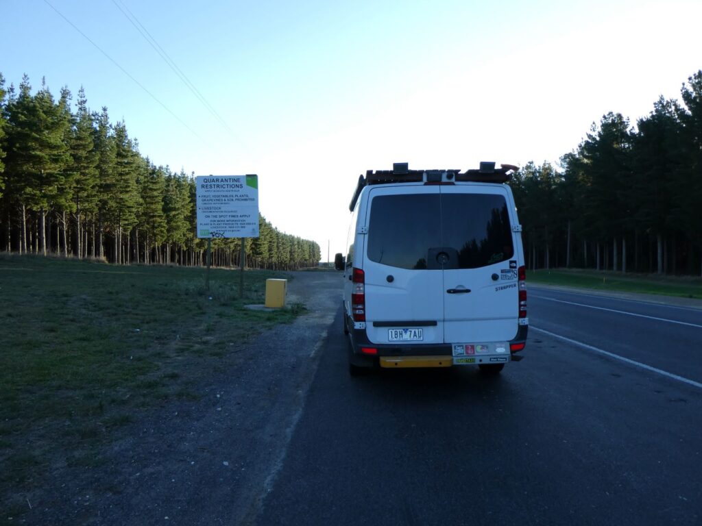
So here we were sitting on the side of the A1 trying to gobble down a half a kilo of grapes so I could throw the stem into the yellow bin! It took a while but once complete I walked over to the bin and dropped the bag complete with stems in. I could see inside the bin and it was totally empty and looked like it might have been for some time. Yes two naïve kiwis actually followed the instructions that no one else even bothers to read no doubt! The table grapes we ate probably came from South Australia in the first place!!
Mt Gambier (28-29/04/22)
Arrived here late in the afternoon and booked into the Mt Gambier Central Caravan Park for two nights, as our research indicated there was quite lot of fascinating sights to see here. This camp is in town and takes up a large area of land on both sides of a residential street. The land is actually for sale, but the date indicated for the auction is long past, so in the meantime the camp survives. It was a clean camp with good facilities including a kitchen containing a benchtop oven with two electric elements on top, microwave, toaster, jug and two stainless steel topped barbecues. It cost A$36 for a powered site per night.
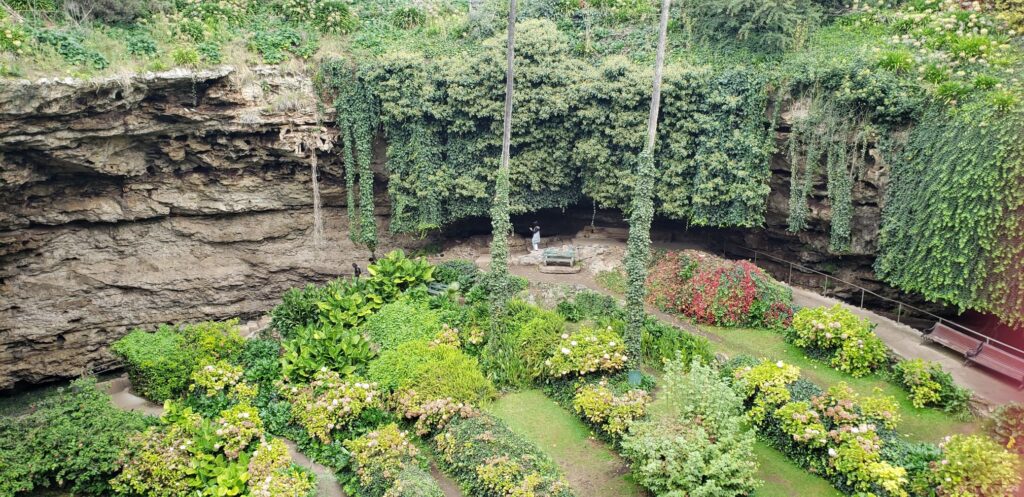
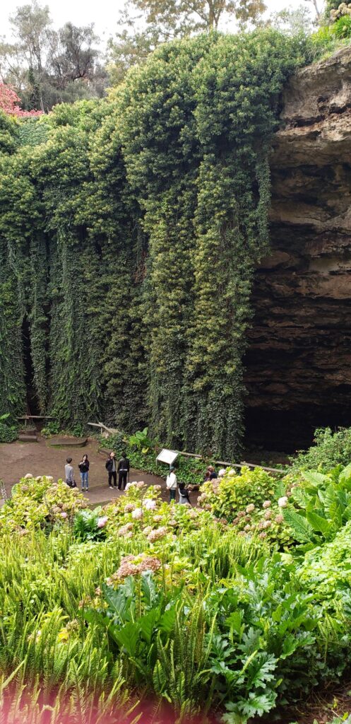
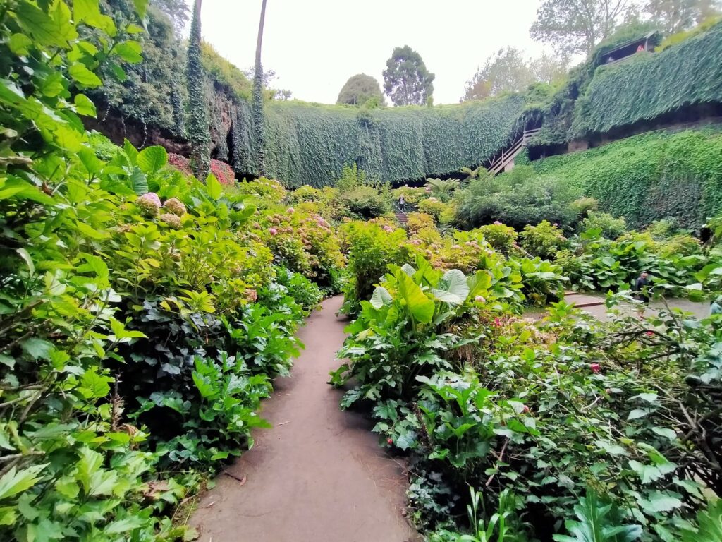
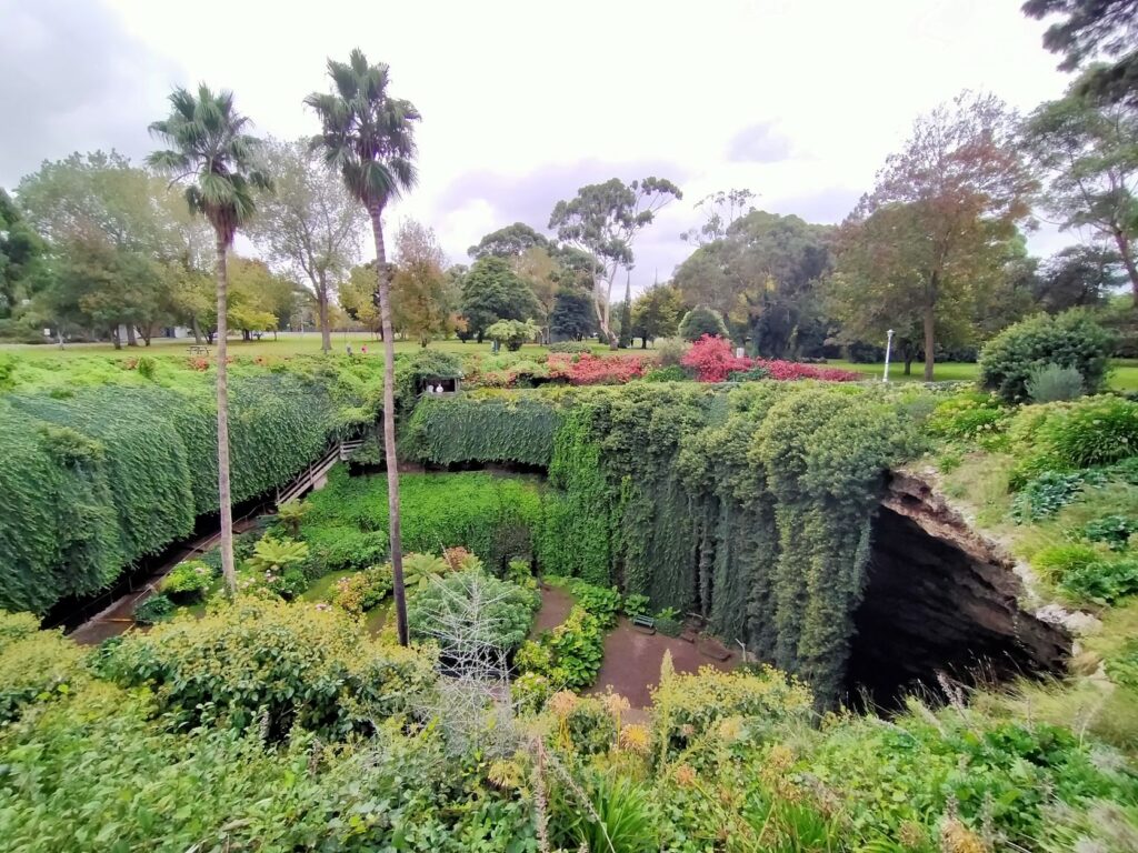
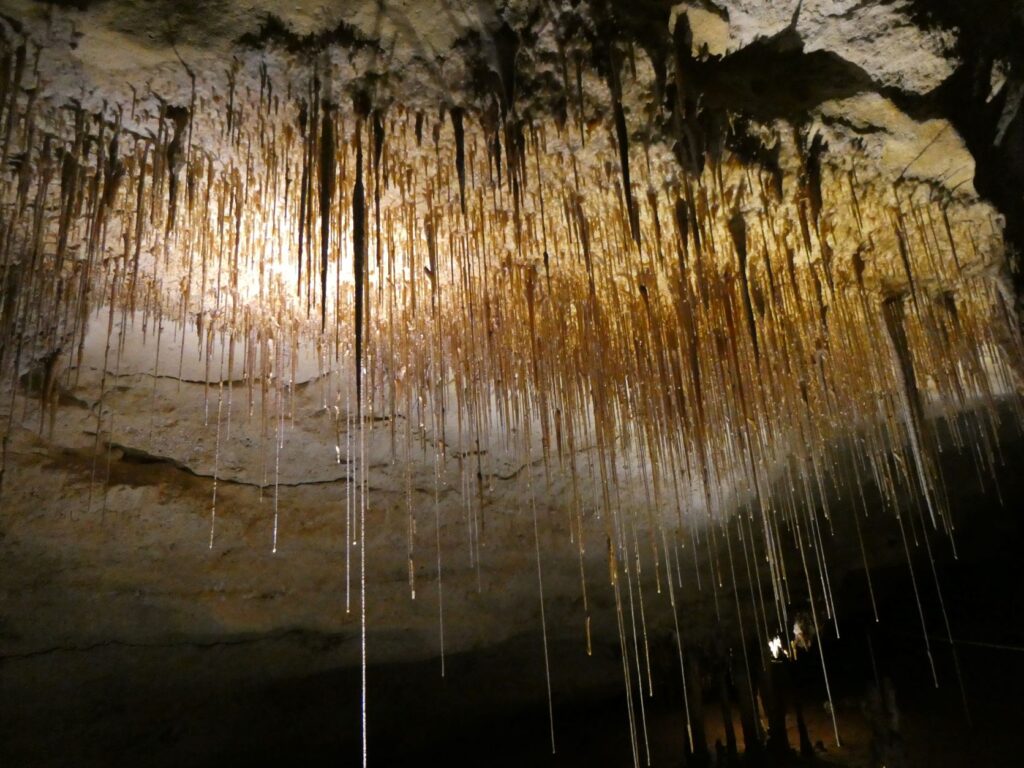
Umpherston Sinkhole (Free of charge and 2.5km from camp)
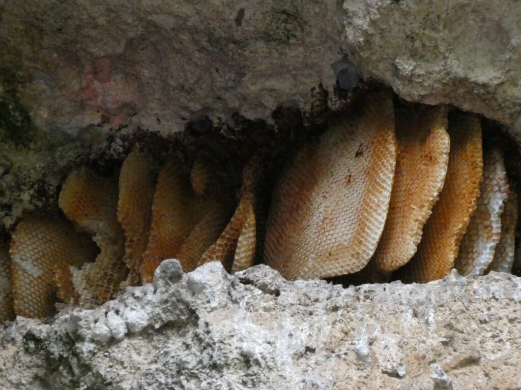
The first stop was the above sinkhole, which was the focal point remnant of a 19th century garden. It was part of the land owned by James Umpherston, which he developed into Victorian styled gardens after his retirement in 1884. The sinkhole still fulfills the original purpose for which Umpherston created it, that being for the enjoyment of visitors and townspeople. Throughout its life however it fell into disuse and disrepair until in 1976 the Woods and Forests Department Social Club, using voluntary labour began to restore the gardens. The City of Mt Gambia obtained the site in 1994 and is now responsible for its management and maintenance. The sinkhole itself is one of many in Mt Gambia as the whole of the southeast is underlain by limestone, formed some 15-40 million years ago when the land was under the sea. This sinkhole had one third of the base in water when it was first developed in the 1880’s. Certainly the gardens are impressive today and the stairs down and viewing platforms well maintained. The hanging vines are particularly stunning and you can walk behind them in places into the caverns beneath the rock face. Bees nests could be seen in fissures in the rock as shown in the bottom right photo below.
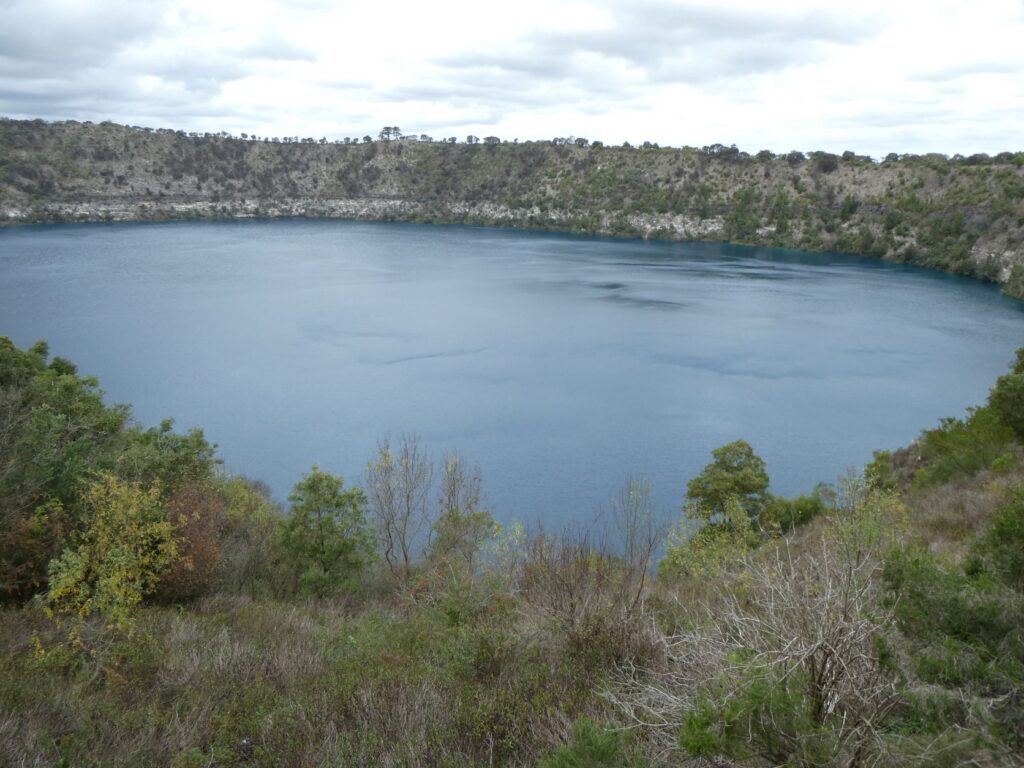
Blue Lake (Free of charge and 4km from the Umpherston sinkhole)
Fitting a number of Mt Gambier’s geological features into a day meant we did have to allocate our time carefully. We had booked into visits to two major limestone cave tours so needed to meet the arrival time deadlines for these. As such our visit to the Blue Lake was taken up at one viewing point only, whereas you can walk the entire lake perimeter and take in other lookouts. This lake is a volcanic crater called a ‘maar’ which consists of a rim of ejected basalt and ash resting on the pre-eruption limestone surface. About 4-5,000 years ago lava flowed upward through cracks in the limestone and upon cooling left a layer of dark coloured basalt some 15m thick over the limestone surface. Surface runoff percolated through the volcanic conduits, converted to superheated water and the pressure created caused gas-rich molted rock to blast through the basalt layer. ‘Bombs’ of basalt and limestone up to 20 tonnes were thrown out. These explosions caused the layers of ash and rock to form the current crater, which became the lake when the groundwater level was restored. Volcanic ash can be seen around the lake and in town from these eruptions. You can see the layering in the photos below, with the basalt layer being the darker one immediately above the lighter layer of limestone.
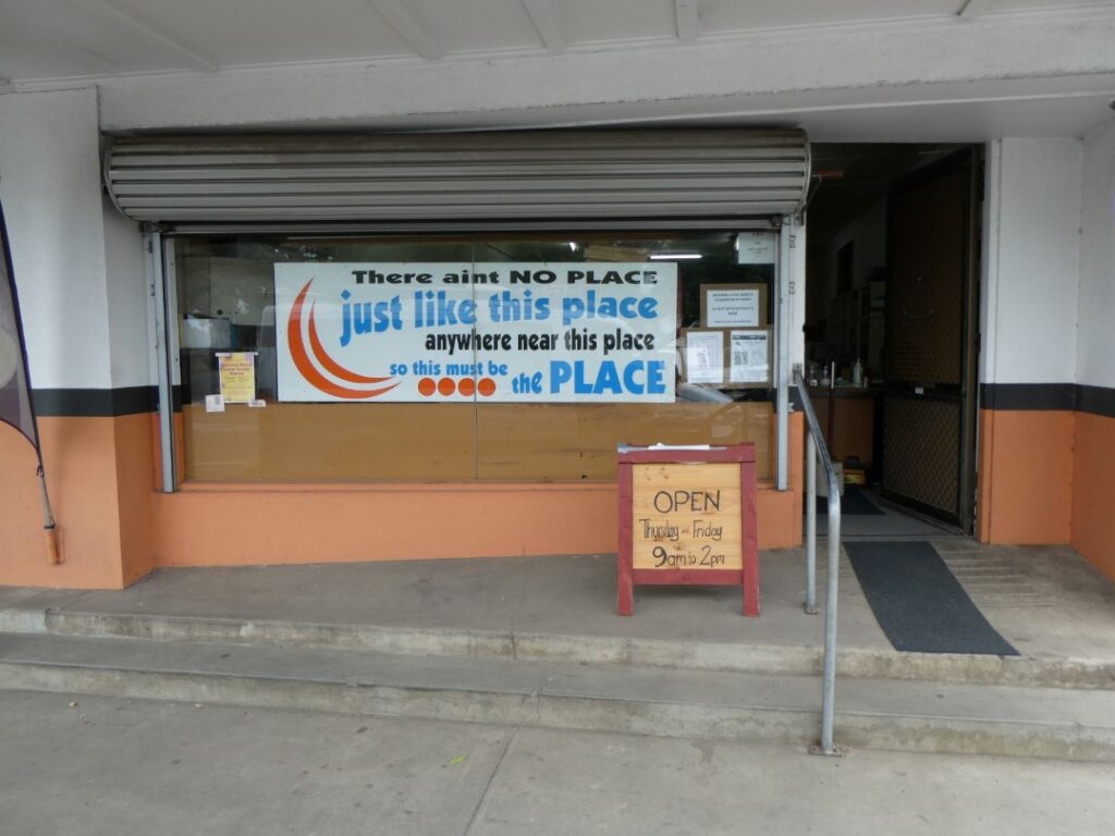
On our way here from the Blue Lake we stopped at a local bakery, which had great cakes and pasties. Not easy to find such places in some towns but Mt Gambia is the second biggest urban city in South Australia with a population of over 27,000. Next to the bakery was an interesting shop that Debbie went into, which was selling only potatoes, had limited trading hours but compelling signage …
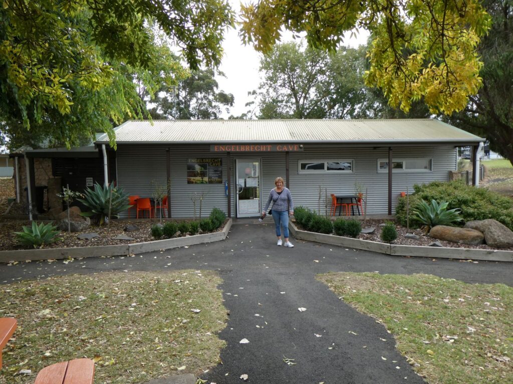
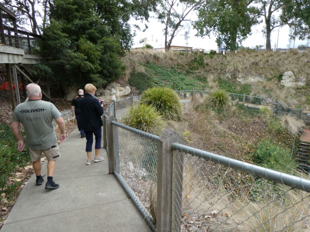
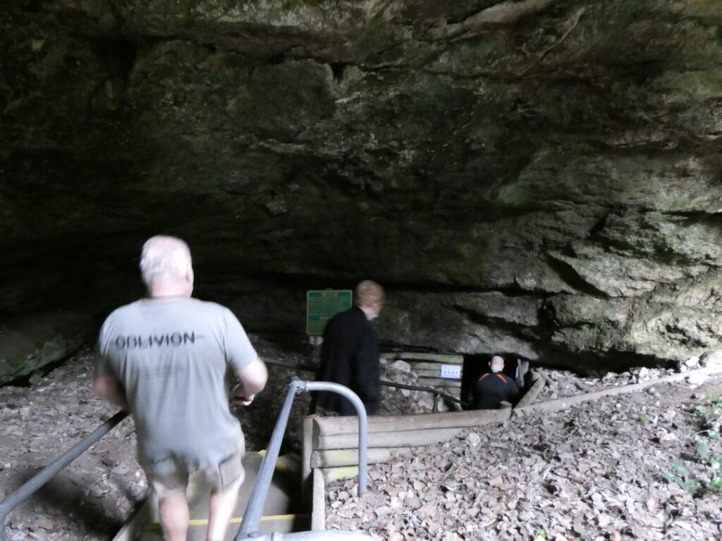
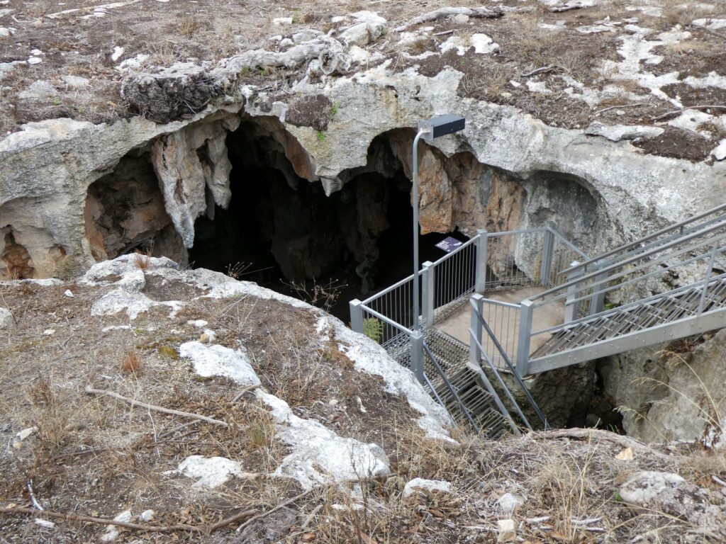
Engelbrecht Caves (Cost $A14.50 per adult and 3.5km from the Blue Lake)
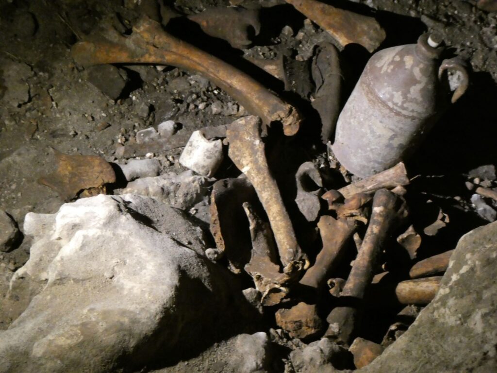
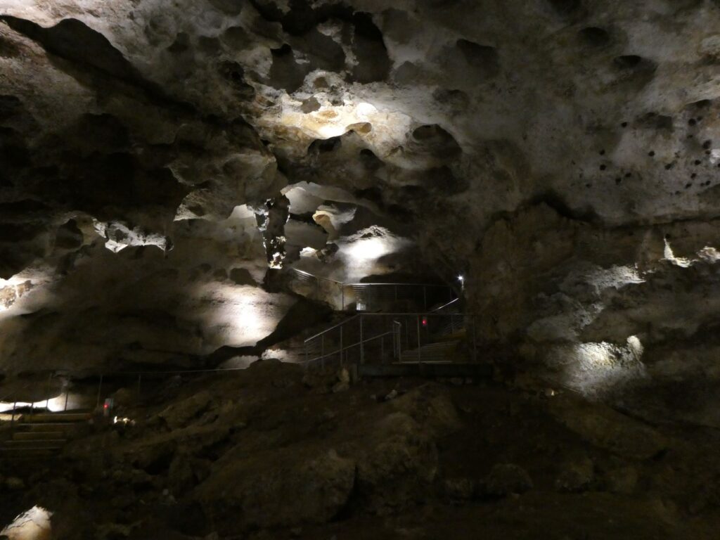
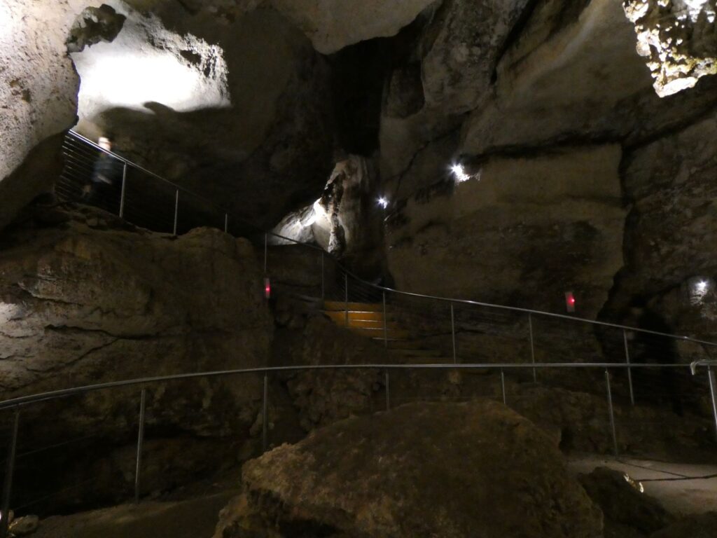
The Engelbrecht Caves are in town and only a short drive from the bakery. We arrived early at the caves so we could eat our tasty pasties and half our cakes. We saved the rest until later as we were running low on sweet treats. We booked the tour here in advance at a cost of A$14.50 per adult. It pays to call and book in advance as its hard to estimate the demand. The caves lie beneath the town under the adjacent park, roads and properties and demonstrates a commonplace situation here, due to the geology. The caves were formed when the limestone was at the surface and water carrying carbon dioxide percolated through cracks in the limestone and eroded the limestone due to the chemical action of the water. When the volcano erupted, as mentioned above, a crust of basalt rock was formed, sealing off the percolation of water and causing some caves to dry out completely or partially, as the groundwater level dropped.
Carl Engelbrecht bought the land on which the cave lies in1886 and upon discovering the cave used it to dump dead animals and waste from his distillery. The remnants of the waste and bones still exist. in 1919 after Engelbrecht died, the ownership of the land where the cave lay was transferred to the Gambier Town Council. The Council didn’t investigate the cave until the 1940’s, noting the water level and how extremely clear if was at the time. They decided it would be of value for stormwater collection. It was 1964 when the cave was first explored by divers, who decided it had no tourist value. It was not until the 1990’s that access stairs and viewing platforms were installed and public tours began.
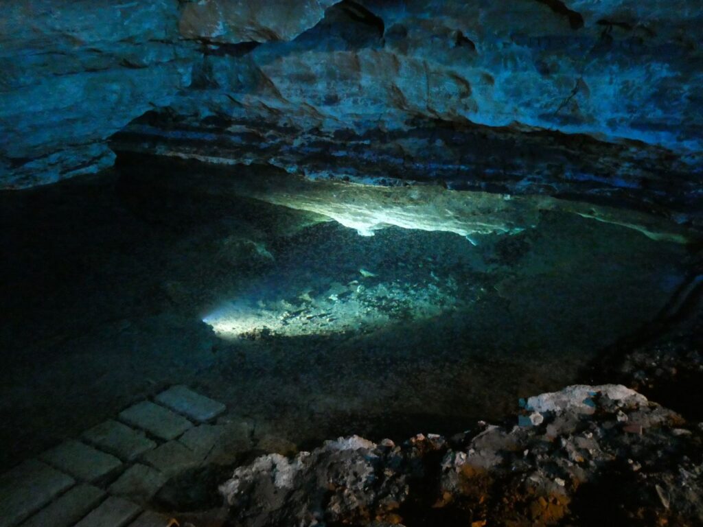
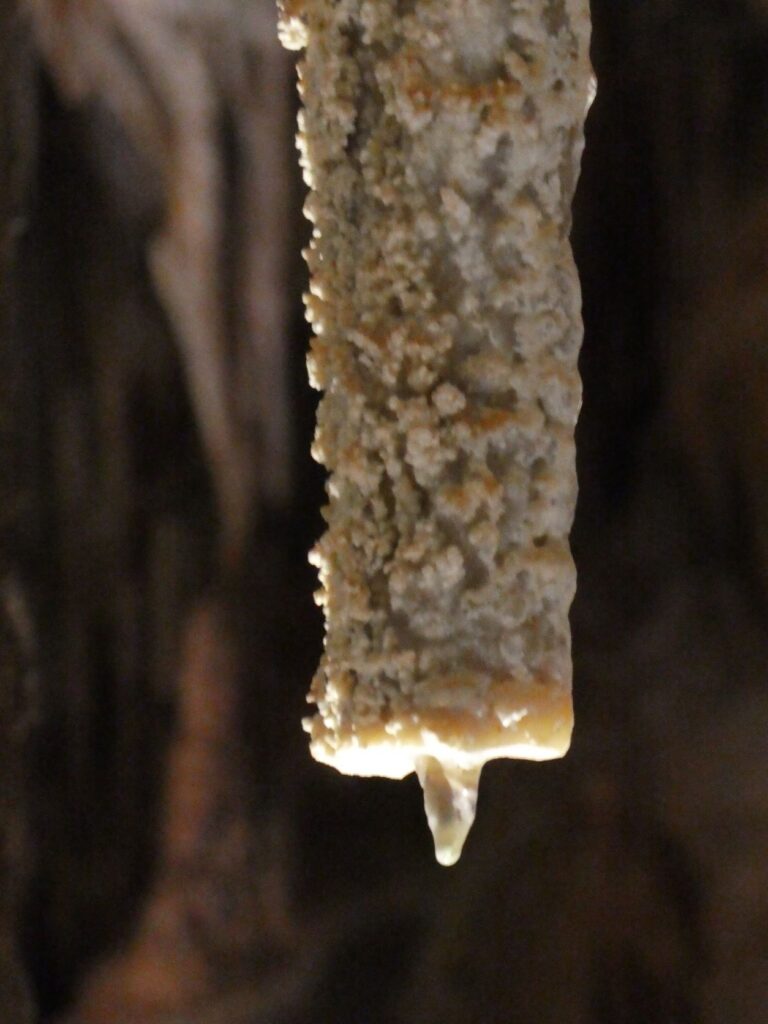
The last photo above slideshow depicts the clear water in the cave as it exists now. Experienced cave divers enter the caves on a regular basis now and tours are available for experienced divers if you are interested. Mapping of the caves through these waters, which at times requires them to remove their scuba gear because of lack of clearance, continues, but is dangerous work. The floor, walls and ceiling of the cave if touched will cause the water to become murky to the point where there is no visibility. Lives have been lost over the years by inexperienced explorers. The water is also so clear that refraction distorts depth. In the last photo you will see a rock on the cave floor beneath the water and an overhang with a protrusion immediately above it. Standing on the platform looking into the water the vertical gap between these rock looks to be about a metre in height. In reality it is over 10m! Do not consider entering the water unless you truly know its depth!
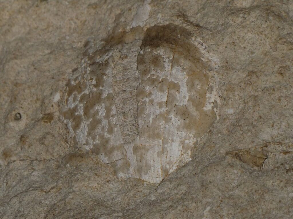
Photo 4 above shows a sample of a fossil found on the ceiling. Because the whole land area was covered by the ocean at one point in its history, sea-life fossils are commonplace in the limestone formations. These caves are not overly spectacular in features compared to others, but they give a great insight into the local geology and understanding of one type of the limestone caves in this region.
Tantanoola Caves
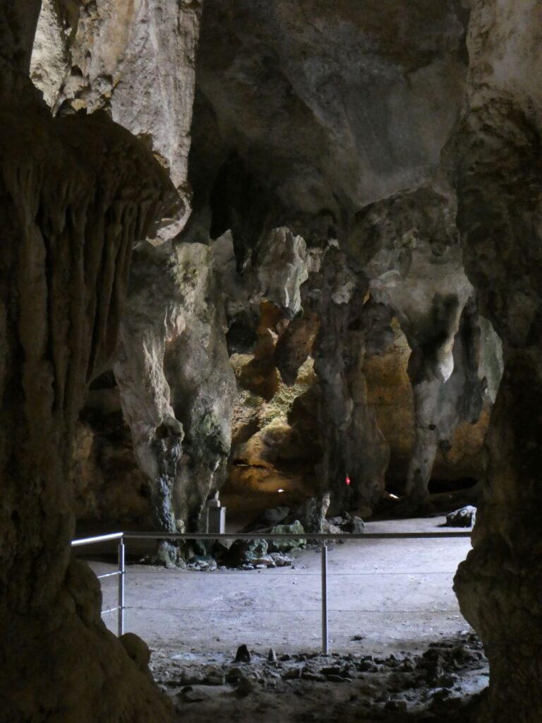
Our next excursion was to another pre-booked tour at the above caves, some 28 km from the Engelbrecht Caves to the west of the township. We arrived a little early for our allotted group tour time (cost A$14 per adult) so did the short cliff walk. These caves are set into an above ground rock formation thought to be caused by sea wave action eons ago, so the cliff walk is above these caves. Entry to the caves is at ground level and as a result the whole tour route has been made disabled accessible. The cave is not an extensive series of caverns but rather one large chamber containing all types of speleothems i.e. stalactites, stalagmites, helictites, columns, draperies, straws and flowstone. One unique geological parameter of this cave is that the rock formations are dolomite, which is limestone with added magnesium. The continued flow of water into the cave has allowed for the continuous formation of the speleothems, even after some have been cut or broken.
The cave was actually discovered in 1930 when 16 year old Boyce Lane was out rabbit hunting with his ferret. The ferret disappeared down what Boyce thought was a rabbit hole, so he went home to get a torch and his brother to help find the ferret. When he returned Boyce and his brother managed to squeeze through the supposed rabbit hole opening and saw stalactites with their flashlight. They rushed home and told their father of this mysterious find. Their father returned with a team of men and equipment that enabled them to drop down into the cave. What they saw was a wonderous sight containing rock features that had formed over thousands of years. They eventually opened the cave to the public, although in the beginning the public had to slide down a tarpaulin and then climb down a rope to get to the cave floor. Obviously much has changed over the years in terms of accessibility and safety, but the splendour continues to grow. Oh, what about the ferret? Well the story goes that it was found, but there seems to be no certainty as to its condition!
The last photo above shows a cut stalactite with a regrowth beneath. Because of excellent records left by Boyce Lane it is known when he cut this particular stalactite. It was 90 years ago, so with the length of growth, which appears to be about 15mm the rate of growth can be calculated exactly. However to extrapolate this to age much bigger formations, conditions would have to be the same and of course for may reasons this may not happen. For example periods of drought can affect the amount of water provided for the growth to occur. Nonetheless it does indicate a very lengthy process is involved in the formations in this chamber.
Debbie and I stayed long after everyone else left the cave, talking with the guide. She was surprised that everyone had left, even though she had stopped doing a commentary. She said we could stay as long as we liked as there was no other tours following. The reverb in the cave was amazing and she said that people had sung in there and one lady even played the pan flute. I was tempted to sing a few notes but was frightened that anything off key might shatter the delicate straws and I didn’t want one of those on my head! We were impressed by what we saw in the cave and heard in the commentary and thought the cost was very reasonable. A highly recommend from us if this is your cup of geological wonder.
Back to camp for a quiche and salad dinner, a treat as most campgrounds don’t have ovens. Some rain tonight for the first time since we left Melbourne and temperatures starting to cool down. A cold snap coming in from the southern ocean has been predicted over the next few days, stretching as far north as central Australia. That’s just where we are heading and hoping for nice warm days and nights!
Naracoorte (30/04/22)
Of course Debs had to stop to see if there were any fallen grapes that may able to be recovered for personal consumption. She succeeded immediately and threw a bunch of very small black grapes complete with ants on my lap. I’m not concerned about NZ ants but wasn’t sure about the Aussie variety after being bitten by a bull ant over here years before. Still she insisted on keeping them so I brushed off the ants and we continued on.
Our camp tonight would be at the Naracoorte Caves campground, which is in the Naracoorte Caves National Park. These caves are South Australia’s only World Heritage listed site. A powered campsite here is $33.50 per night for up to 4 people and there are 10 powered sites in all. The facilities include toilets and showers, free barbecue and refuse bins. You have to book a site on line, which we found out after we arrived. On arrival all the sites were empty bar one, so we pulled into site No 1, which was unoccupied. We had a quick look around and wandered back to our van when a car pulling a caravan rolled up. They looked at us and asked if we intended to stay in that site as they had booked it already. That’s when we realised you needed to book! So we moved to another vacant site and booked accordingly. We chatted with the caravanners, who had just sold up their table grape farm in Alice Springs. They had some useful tips for surviving unscathed up there as crime had been on the rise for some time and we were heading there in the next fortnight.
There are five caves in all and tours of the caves need to be booked at the nearby Wonambi Visitor Centre, about a 1 km walk through native bush from the camp (or you can drive there). After we parked up and had a bite of lunch we thought we would take the walk through the bush on the well trodden path, although it wasn’t particularly well signposted. We set off down the path with the usual trepidation that we may encounter some local wild animal or reptile, but very confident we wouldn’t because the path looked to be well trafficked. We were probably about 500 m down the track when I spotted a kangaroo not far off the side of the track. This was at once exciting and terrifying given our ‘outback’ naivety. Out with the camera and we proceeded stealthily along only to see another two kangaroos near the first, then others on the other side of the track – we were surrounded! Some stood up tall and looked us square in the eye, whilst others kept chewing the grass or simply wandered away. We figured as wild as they maybe this wouldn’t be their first encounter with humans but, could they smell fear! Debbie took several photos with our compact camera with the zoom lens, so we didn’t have to get close and we moved on safely. Clearly they were largely ambivalent about our presence there.
There wasn’t a lot of choice about which caves we could book a tour on. One wasn’t open, one was booked out and one was a self-guided tour at your own leisure. In the end we chose the guided tour of the Alexandra Cave and the self-guided tour of the ‘Tomato’ section of the Tomato and Stick Cave (not sure where that name came from but the “Stick” section is a guided tour and an introduction to adventure caving). We had some time to kill so we took a few photos with the prehistoric creatures in the Fossil Centre lobby, then did the walk through of the large diorama recreation of the Naracoorte area some 200,000 years earlier (A$17.00 per adult includes the Tomato and Stick Cave self-guided tour or A$15.00 Fossil Centre Diorama only ).
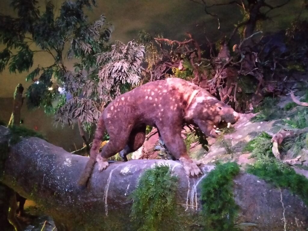
The Caves at Naracoorte have Heritage status because they have acted as pitfall traps and owl roosting sites, collecting animals for at least 500,000 years. The caves preserve the most complete fossil record Australia has for this period of time, spanning several ice ages, the arrival of humans in the area and the extinction of Australia’s iconic Megafauna roughly 60,000 years ago. Skeletons have been fully recreated from fossils in this area and paleontologists have managed to date these along with the sedimentary layering confirming a geologic timescale. Aside from the historic significance of these caves they also are aesthetic and natural wonderlands. The Alexandra Cave we chose to tour has examples of stalactites, stalagmites, helicities, columns, flowstones, cave pearls and rimstone pools. Lighting made photography difficult but here is an image we managed to capture.
The Tomato and Stick cave was near the beginning of our track back to the camp. This is self-guided with lighting that self activates as you move through the caverns. You descend into the cave down stairs and there are hardstand walkways, steps and handrails to help guide you down into the chambers. You can linger as long as you like here and the formations are quite majestic. The ‘Stick” section is a training ground for would be cave adventurers, with crawl through passages and three optional challenges. Cost for this is currently A$68.00 per adult.

When we returned to the camp we noticed the kangaroos had moved into the campground itself. There was a paddock adjoining the camp separated by a wire fence with an opening in it. As we approached the camp some of the kangaroos bounded off through the gate, and as time wore on into dusk more made their way into the paddock for the night. They were obviously very used to human occupation of this area.
Of course there is a plethora of gum trees wherever we travel and on our walk to the caves it was no different. However we spotted some classic ‘gumdrops’ on one tree and couldn’t resist pocketing them. Not sure if well get them into NZ though! A few campers had arrived in for the night on motorbikes with their tents. There was a push button barbecue under a lit canopy and both the bikers and ourselves cooked our dinner there on this crisp autumn evening. Our new meal invention of avo, bacon and eggs on lightly barbecued Turkish bread went down real well!

Just a little video for kangaroo lovers to show we really did get close to wild kangaroo and they really do bound away.
Hahndorf (01/05/22)
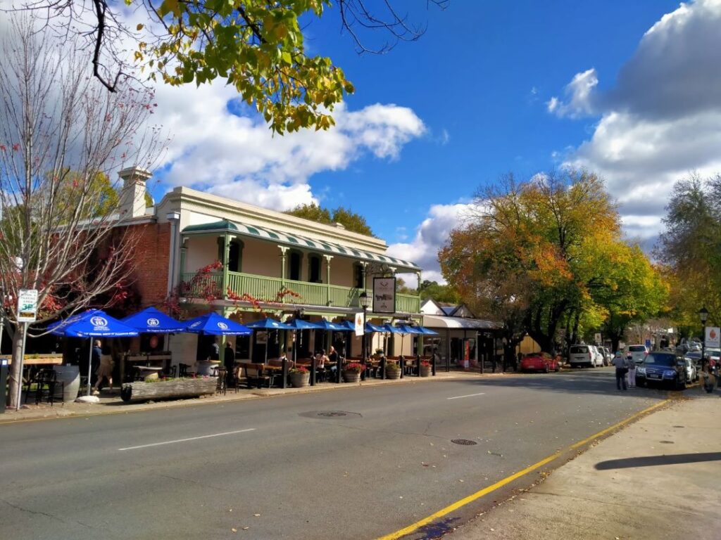
Long drive of 310 kms today from Naracoorte to Hahndorf with a short stop at Keith on the junction of the A66 and A8 highways. Lunch was ham and cucumber sandwiches we threw together ourselves at this junction, which is just a roadhouse and service station rather than a destination of any sort. We will take turns driving throughout the day from here on in as the distances per driving day will get long. The roads are all good with a maximum speed of 110 kms/hr. Hahndorf was recommended to us by other travellers we had met en-route as a beautiful little town, located just 25 mins south of Adelaide and with a large and well appointed camp ground just north of town. The real drawcard of Hahndorf is that it is Australia’s oldest surviving German settlement. Originally settled in 1839 by Prussian Lutherans the town still has a strong German influence in the architecture and incredible artisan shopping experience. We arrived on a Sunday afternoon and the main street was heavily populated, this being a favourite day trip destination for Adelaide residents. We would have to hold indulging in that experience until tomorrow as it was late in the afternoon and we had to make camp.
The campground was on sloping topography but the sites had been cleverly levelled with sealed access roads to the sites. The surroundings with a large pond, gum trees and gardens were beautifully maintained. The kitchen was huge with ample cooking and dining facilities, including an open ended flow to outdoors. It did take me a bit to sort out how the gas hob-top burners worked however. The camp also had a large swimming pool, which is too cold now and a huge bouncy pad for kids. The camp cost for the night here was A$35 for a powered site.
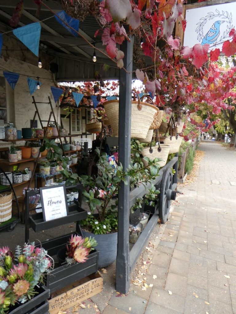
On the Monday morning, with everyone back at school and work in South Australia we figured it was a good time to investigate the Hahndorf township. We didn’t get away as early as we wanted (as was often the case) as another couple, who were not leaving today, were happy to engage in lengthy conversation. There is always something to be shared in these conversations, often camp recommendations for the trip ahead, places to avoid or sights not to be missed (this is of course a matter of subjective opinion). We spent about three hours wandering the township and pouring over the engaging artisans wares. It was impossible to investigate the authenticity of everything and separate the cheap mass produced products from the handmade pieces, but we felt it best to just let the ambience flow over us without being critical.
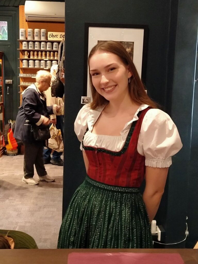
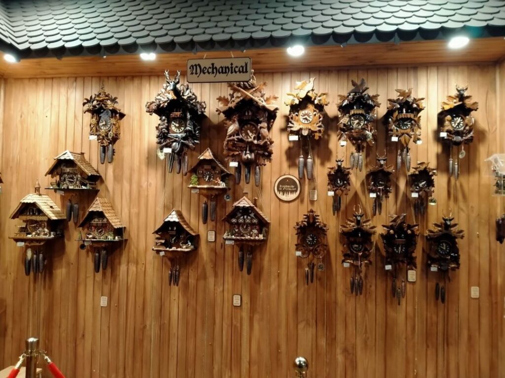
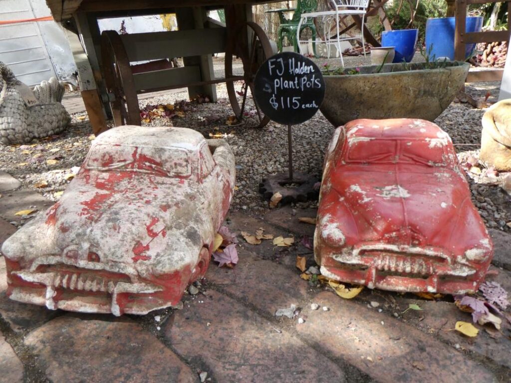
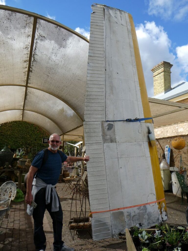
I’ve never been to Germany so have no measure of comparison with the towns there, but I loved the themed architecture here nonetheless and the array of fascinating artifacts, German souvenirs and memorabilia. It is always difficult to discern junk from worthwhile antiques, as this is a very subjective matter. Given my age now it is frightening to see items in antique shops that we used regularly, some not even in the distant past! I managed to get the costumed das fraulein (more respectfully Frau) in the cuckoo shop to pose for me, even though she spoke English with a fluent Australian accent. Being cost and a little diet conscious we shared a chicken/avo/bacon pita and a cherry slice for lunch before heading for Adelaide. Here’s a few photos of the oddments and culture we witnessed in the creative German themed township. Yes that is part of a genuine airplane wing I’m leaning on in the following photos and the price on this was A$3,250 from the antique (loose definition!) shop. That shop had a lot of what we would call, JUNK, that maybe a film company might buy for props, but heaven only knows who else might be interested. There were many tools that looked like my Dad’s stuff from 50 years ago and they looked like they had been sitting outside at this yard for that long! Lets give the oddments their more benign title of Bric a Brac, interesting but of little value!
Adelaide (02/05/22)
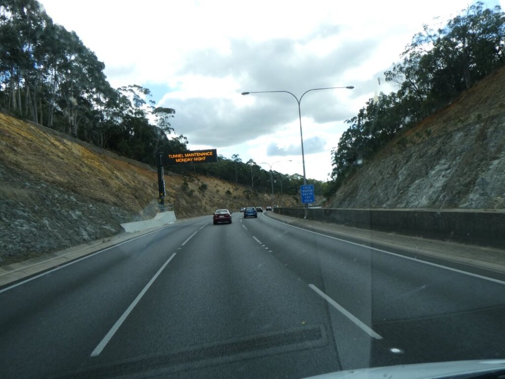
It was only a 31 km drive through to Adelaide and mainly on the motorway. Approaching Adelaide was a long uphill gradient, a tunnel and then a reasonably steep downhill section before reaching central Adelaide. Knowing that we were only staying there one night we had booked the Adelaide Caravan Park near the city centre, so that we could walk into the downtown area. The campground sites were pretty tight and we were wedged in between a motorhome with a push out and a caravan towing vehicle, but at $44 for the night was still good value for such a central location. Adelaide has a population of around 1.1 million and is rightly considered by locals that we talked to, a far more laid-back city than Melbourne or Sydney. We met the couple in the motorhome next to us on the walk into the city. They were from Ballarat and their motorhome has the same Fiat front end as our one back in NZ. Truthfully the V6 Mercedes Sprinter we were driving has much more power than the Fiat and a heavier GVM, giving a quieter ride, more responsive power and lower RPM’s at the higher road speeds possible in Australia.
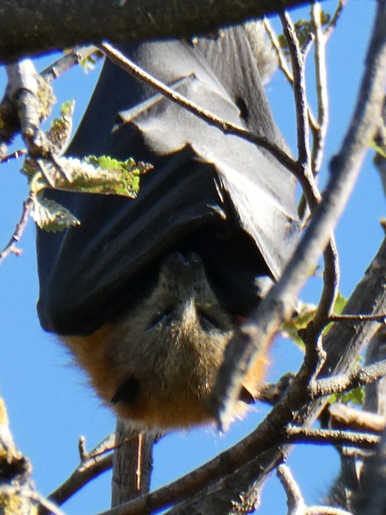
I had discovered yesterday that the mask mount for the nasal seal on my CPAP headset was broken, although I had made it work temporarily. It needed a permanent replacement however and I had also discovered that I had left my blade shaver back in Mount Gambier. Both of these things would need sorting out here in Adelaide. So we set off in the early afternoon via the Botanical Gardens, the Adelaide Zoo and the South Australian University into the city centre. As we walked through the Botanical Gardens Debbie pointed out a large colony of creatures hanging upside down from the trees above us, that looked clearly to us like bats, although unusual to see them out in the daylight. After taking several photos and walking a little further we came across a sign telling us they were in fact grey headed flying foxes and to beware, as they may fly low to dip in the river or distressed animals may fall from the trees! It also said we should not approach any on the ground as they may carry a disease that can affect humans. They were being affected by the hot weather apparently, although in reality we noted that the temperature now was starting to drop significantly, particularly at night.
Apparently the flying foxes were largely ‘controlled’, until well meaning conservationists put an end to this process and these creatures are now surviving here in ever increasing numbers. Those bat-like wings certainly diminish the cute fox face look in my opinion!
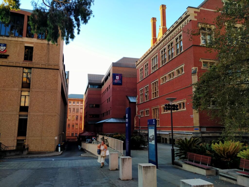
The South Australian University takes up an enormous amount of real estate just north of the main CBD and is certainly a campus of some prominence and grandeur. Whilst the city centre itself possesses a handful of high rise they are certainly not on the scale of the other major cities in Australia that we have visited. This is more like the Auckland I remember when I first moved there 30 years ago, which at that time had an almost identical population to what Adelaide does now. Adelaide does of course have many of the iconic store chains and served us adequately in providing me with a puffer jacket for the cooler evening temperatures ahead, and a handful of groceries (even though we managed to forget to replace my shaver!).
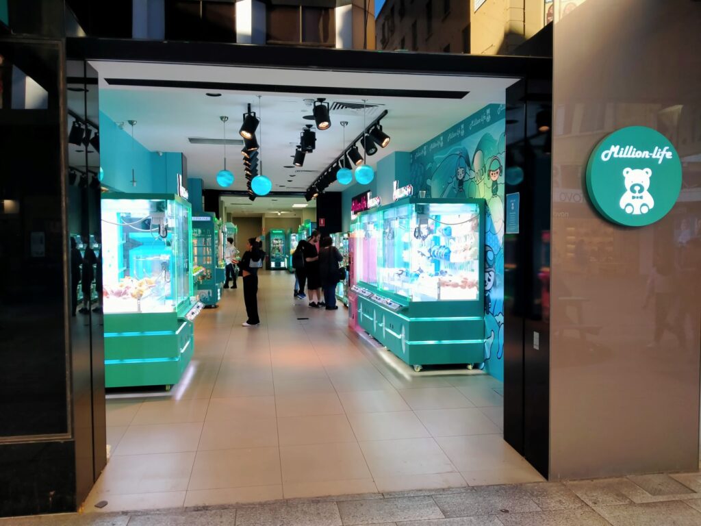
One fascinating shop named ‘Million-Life’ was an arcade completely full of machines laden with soft toys and useless gadgets that you had to attempt to pick up with clamshell type grabbing arms. We see these in NZ but as isolated vending machines in lobbies. In terms of the replacement mask mount, these of course are not a standard item in any department store in any city. I had run around the CPAP agents and in the end the best I could do was having to replace the entire mask kit valued at around $225! This we would have to do tomorrow though on our way north given the locality of the store.
That was our snapshot glimpse of Adelaide and it was surprising to see so many facets including wildlife, education, flora, high-rise, history and the CBD shopping here all in three hours. The kitchen at the camp was not large but was adequate with a benchtop oven, separate gas hob top, microwave, toaster, toasted sandwich maker, jug and a small array of pots and pans. Since we were having store bought lasagna, salad and left over tabbouleh for dinner the microwave was particularly useful . It also had a defibrillator machine, which we fortunately did not need.
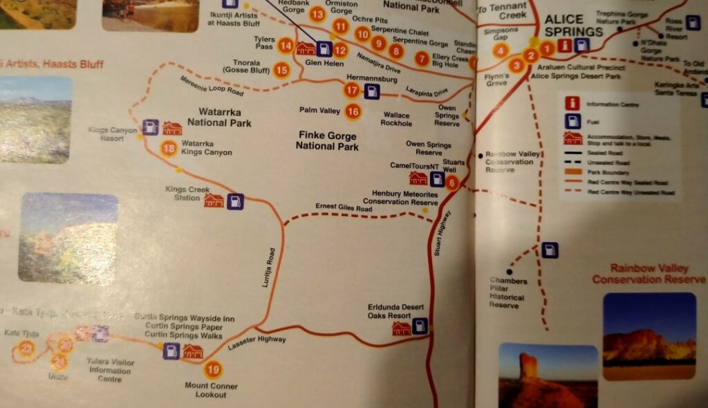
Below are a couple of not so easy to read maps that may assist a little in understanding our route from Port Augusta up to Alice Springs, which we document below.
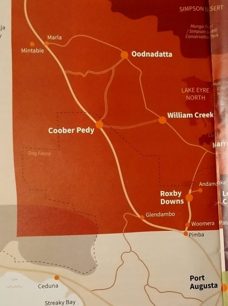
Port Augusta (03/05/22)
It was up early, skip the showers and partake of a cereal breakfast in the camp kitchen before the 325 km drive north to Port Augusta. Daily trips were destined to become longer after Port Augusta, as we entered the outback regions with townships as sparsely spread as they are populated. I still didn’t have the shaver and a few days growth had me looking ready for outback life. As we left Adelaide we picked up a few groceries. We were advised to carry plenty of water north as some of the towns have scant on-tap supplies, you may have to pay for it any way and the quality can be questionable. We bought a 10 litre box of fresh water and filled several empty 2-2.5 litre bottles we had accrued on the trip thus far. I also had to pick up my replacement CPAP mask set. I’d spoken to Tam, a young Asian girl who had been very helpful on the phone and whom we asked for on arrival at their CPAP shop in Northern Adelaide. She was just as helpful in person and was very understanding of my dilemma, which left me with no option but to purchase a whole replacement kit for one damaged component. She had offered a discount on the phone, but even I was stunned when she reduced the price from the RRP of A$225 to A$165. We thanked her profusely.
As you can see from the map above the road between Adelaide and Port Augusta follows the coastline for some of the route initially, and then takes a long inland section before re-joining the coast near Port Augusta. This was our first introduction to the ‘outback’. Sparse open fields, long straight roads, road trains, wind farms, above ground pipelines stretching into the distance, road mirages and salt lakes. I don’t think this would be defined as the outback by Australians, as Port Augusta is very temperate with average temperature lows in June around 10° C and highs in January around 26° C. It is quite dry however with the average rainfall being only 270 mm and en-route there was a prominence of drought friendly vegetation.
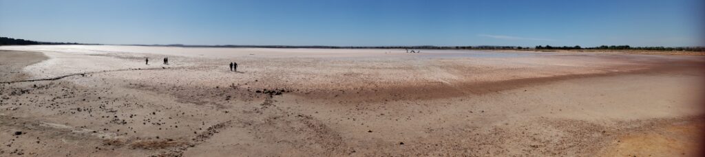
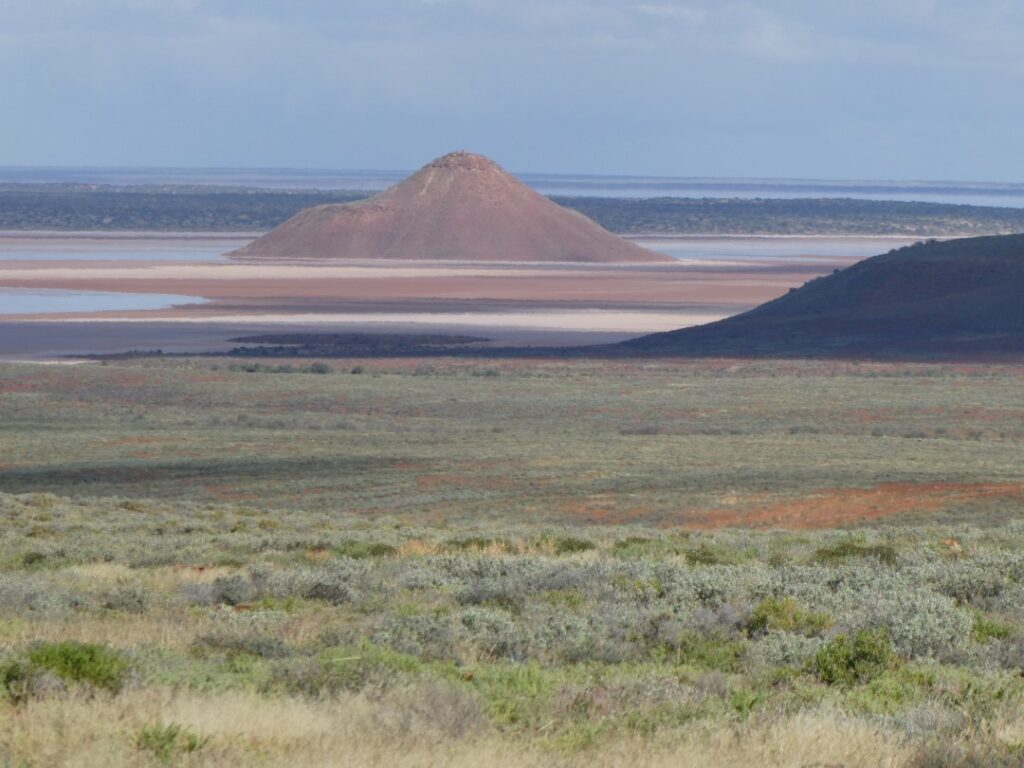
And then we came across Lake Bumbunga (repeated it sounds like an aboriginal chant, but actually means “lake of rain”). This lake does contain water on occasions and is also home to the legendary ‘Lock Eel Monster’. There is a historical story behind this involving a bullock team and a visit to the local pub, so it must be real. Because of the absence of water during our visit we managed to catch a glimpse of the monster tragically cast into the salt bed of the lake. However it was still able to terrorize those who foolishly chose to approach it.
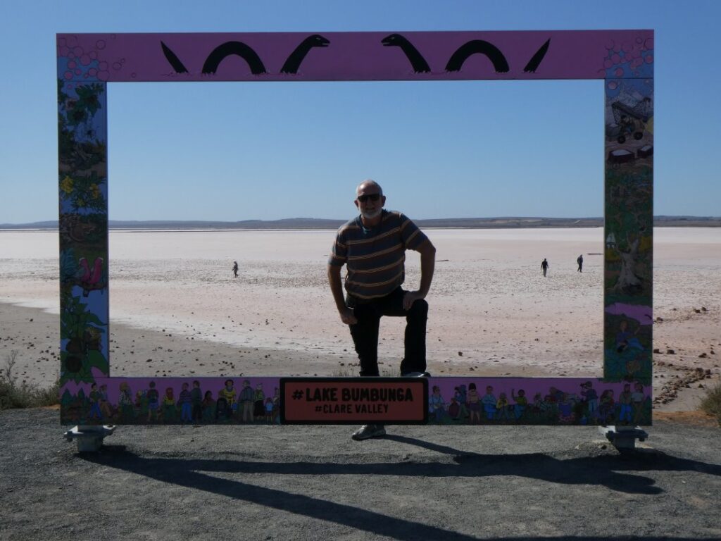
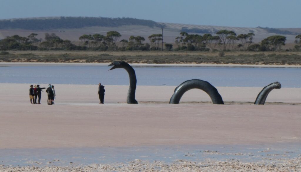
The stopover at the lake was a welcome break, being about 130 km north of Adelaide. We still had a long distance to travel, but the lake was picturesque and obviously a popular tourist photographic spot. Apparently it was used regularly by professional photographers for various staged photo shoots, both with and without water present. Although the notion we had of being beware of lake monsters may not have been strictly true, long after leaving the lake I did read that beneath the salt is a heavy black sludge that will completely ruin any and all types of shoes. At certain times the lake will turn pink, but this I understand is generally after a rainfall, which can occur mainly in late autumn or early spring. We were there in late autumn, but as you can see from the photos we were not fortunate enough to experience this amazing sight.
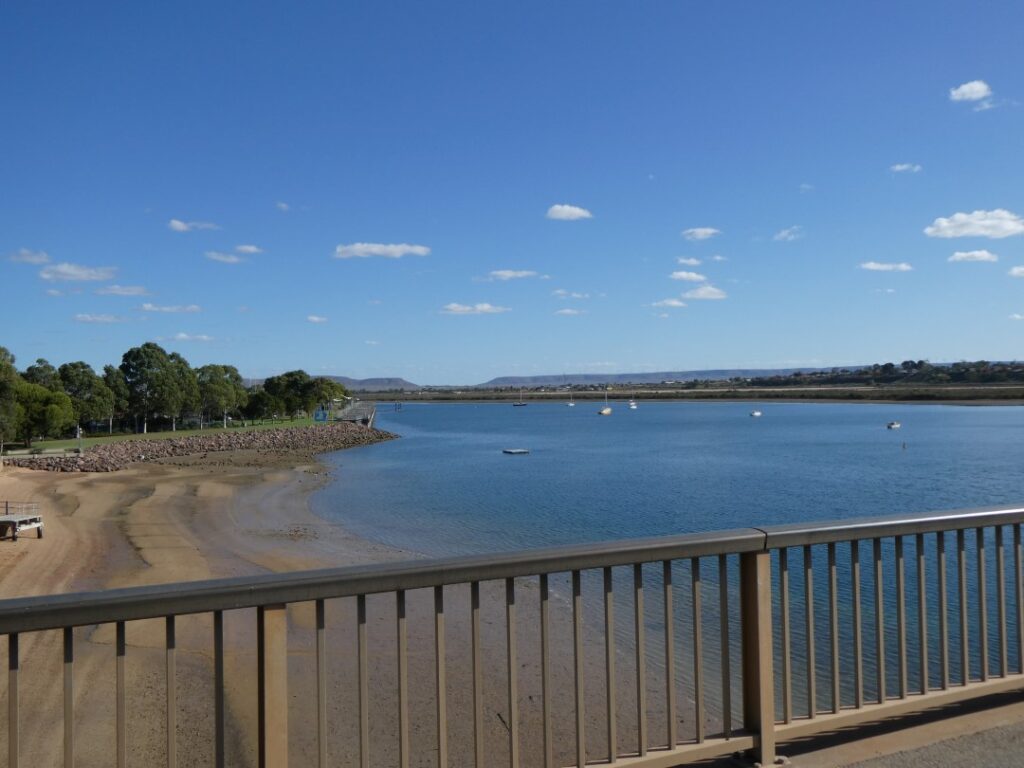
We continued our journey north, stopping in a rest area just north of Snowtown (although I’m sure it never sees snow) for a quick sandwich and some crackers and dip, a regular quick lunch for us. As we got closer to Port Augusta we reunited with the Southern Ocean in the Spencer Gulf. We were staying tonight at the Shoreline Caravan Park (A$39), which is on the northern side of the recently completed bridge over the Spencer Gulf Inlet. The main township is on the southern side of the bridge, but our chosen camp seemed to be popular with others we had spoken to. Given its location we (incorrectly) assumed that it would have a view of the inlet, but since we were only staying one night we weren’t particularly concerned anyway. We didn’t venture into the township itself, as we only arrived at the campground around 3 p.m. Since we were heading into outback territory tomorrow and we were uncertain as to the level of facilities at the camping grounds up there, we took the opportunity to have showers and do the laundry wash, rather than spend our time sightseeing here. We shot a couple of photos as we drove in.
After completing the chores, we took the opportunity to get out our table and chairs, which was actually a rare experience given the time taken on travel, sightseeing, grocery shopping, refuelling and the inefficiency of the van itself. Because of the limited storage space in the van we constantly had to move belongings around the vehicle to satisfy night and day living requirements. Not everything could be easily secured and occasionally things came unstuck, falling out on the floor while we were travelling. We had chosen not to use the awning, given that it seemed to be a very manual process to unwrap it from its canvas cover (requiring the expandable ladder supplied with the vehicle) and the fear that we might never get it back into the cover. Even though the temperatures were getting warm in the afternoon the further north we headed (and today it was around 20° by 3 p.m.), we didn’t think they were extreme enough at this point to need an awning. The sun was setting early anyway now and temperatures dropped rapidly once we reached dusk. By this point of the day we were starting to get tired anyway, knowing that would still have to put a dinner together either at the camp kitchen or using our own cooker, so messing around with the awning was an unnecessary chore, especially when wine o’clock had arrived.
Woomera (04/05/22)
Today’s drive, our first into the true wilderness, would be 189 km and we left Port Augusta with mixed expectations, based on the opinions about this part of the country that we had gleaned from our fellow travellers. Initially we made a false start as we got a few kilometres into the journey and suddenly realised we hadn’t filled up with diesel. The prices vary between areas and brands, and we figured as we got further north into remote country it was likely to be expensive. In any event the distance between towns was going to get long and we would be filling up almost daily, depending on our stopover times at each destination. We drove back into Port Augusta where we paid A$2.00 per litre and then headed up the Stuart Highway (A87). The highway is named after John McDouall Stuart, who in 1862 was the first man to traverse Australia south to north through the centre and return. The highway roughly follows the route he originally took.
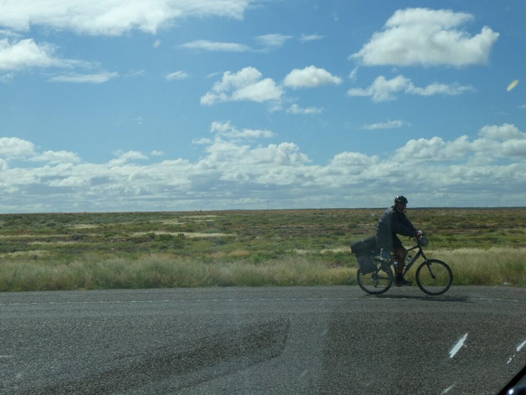
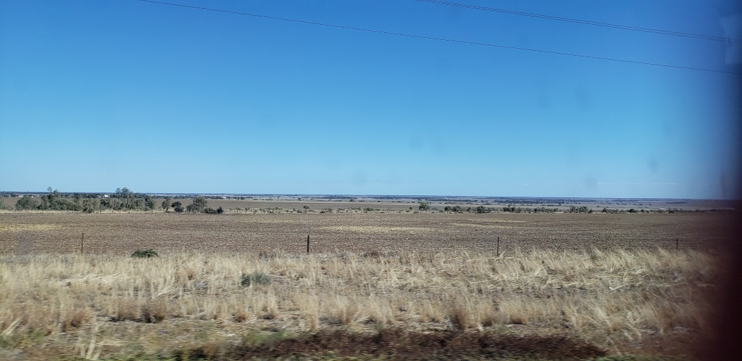
After leaving the northern industrial zone and peripheral suburban areas of Port Augusta the roads stretched before us to some imaginary point in the distance. Road-trains became the predominant heavy vehicles on the road, the landscape was flat and monotonous, but every so often there was a sight that seemed incongruous, like this lonely cyclist making his way across this vast expanse. And we thought we were undertaking an arduous journey! Vertical relief was minimal, but every so often in the distance the remnants of a mountain range that once rose to heights unknown appeared, giving us some idea how Australia’s most famous rock may appear to us in the coming days. We were also starting to notice ever so slightly the change in the colour of the soil toward that outback terracotta.
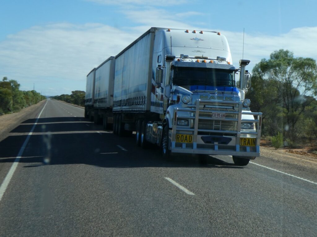
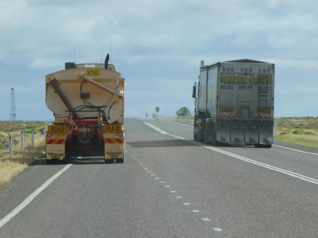
There was no sign of wildlife other than the occasional kangaroo roadkill. We have seen one or two of these before along the southern roads, but were told there is more prevalence of them on this highway. Having said that some we talked to certainly said the numbers are nowhere near what they used to be after much culling had taken place over the last few years. Also, with the area having some heavy rains back in February the kangaroos had retreated back from the road edges, where in drier times they find more luxuriant vegetation. Most of the animals subject to roadkill moved about after dusk and we were advised not to drive in the dark. That was not our intention anyway as we wanted to enjoy the views of the countryside in the daylight and the comfort of the campgrounds after dark. Vehicles towing caravans became a regular feature on these roads now, where overtaking was entirely possible and on the whole caravans seemed to travel at no more than 100 km/h, even though the speed limit was 110 km/h. Overtaking road trains, even though they were travelling around the same speed as the caravans was much more challenging, given the length and the difficulty seeing around them. So how does a truck overtake a road-train? Like this.
We had booked ahead ensuring a campsite at the Woomera Travellers and Village Caravan Park after seeing the number of vehicles at the campground at Port Augusta. We anticipated that many of those would be heading north, likely to one of the first campground stops at either Pimba or Woomera. Pimba is a roadhouse service centre with an adjacent free camp space on the turnoff from the Stuart Highway to Woomera (B97 road). Woomera itself is about a further 6 km east and has a campground with both powered and unpowered sites, cabins, “motel’ units and ablutions, but no kitchen available. Since we needed power this was our obvious choice and it had a very modest cost of $25 per night.
We arrived at the camp around 1 p.m., meeting the somewhat ambivalent manager who took our payment and pointed us in the direction of our site without a smile. The camp occupied a very large area, perhaps not surprising given the amount of unoccupied land around here anyway. There was no sign of life at the cabins or the units, but there were a handful of caravans already in the powered sites of which there were about thirty back to back down the middle of the camp. The ablutions were basic, dated but adequate, although Debbie said that in one of the two blocks one of the toilet stalls was completely visible through the external clear glazed window!
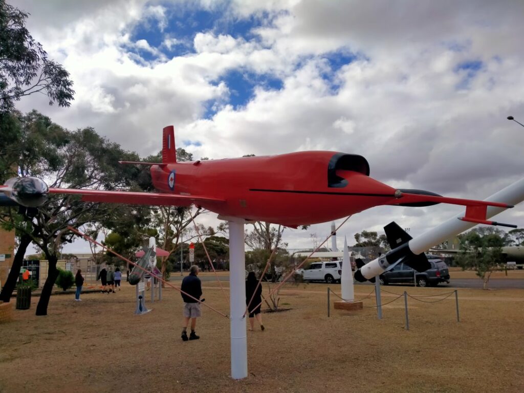
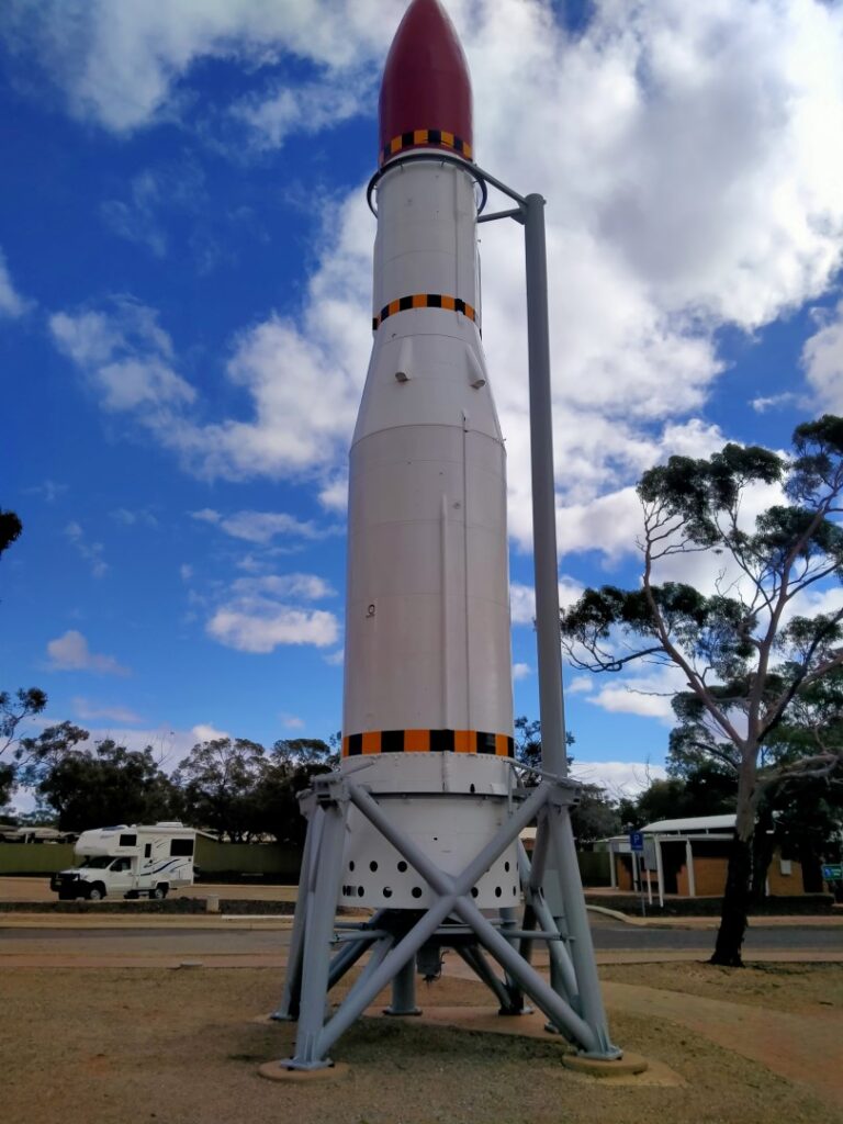
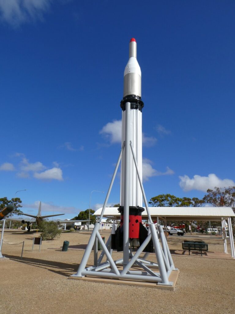
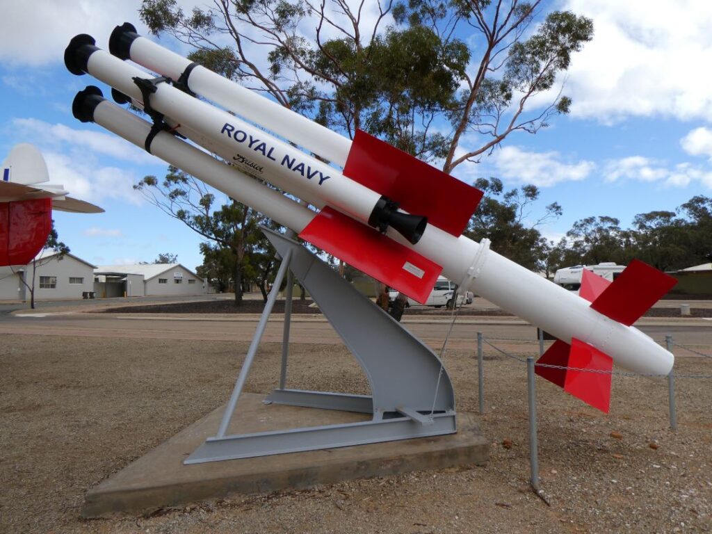
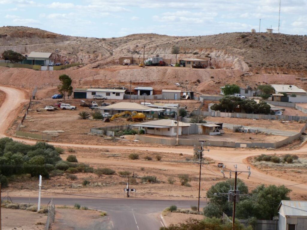
Woomera township is a very small part of the RAAF Woomera Rocket Range, which is under the jurisdiction of the Australian Defence Force. The total area covered by the complex is just over 122,000 km², roughly the size of North Korea and stretches as far north as Coober Pedy. It is apparently the largest land-based test facility in the western world, although with all the secrecy within defence organisations I’m not sure if anyone would really know. I remember when I was a child hearing about rocket testing at Woomera and I think it was also mentioned in our land survey classes in my early years of engineering training. It didn’t really occur to me until I got there that this was the very place where significant long-range rocket testing took place from the establishment of the complex in 1947 through to the 1980’s. The facility was originally established in conjunction with the British who were looking for a long-range test facility outside of the UK, since the UK was too heavily populated to accommodate such a complex. At its peak there were around 5000 occupants in Woomera involved in the testing and development projects.
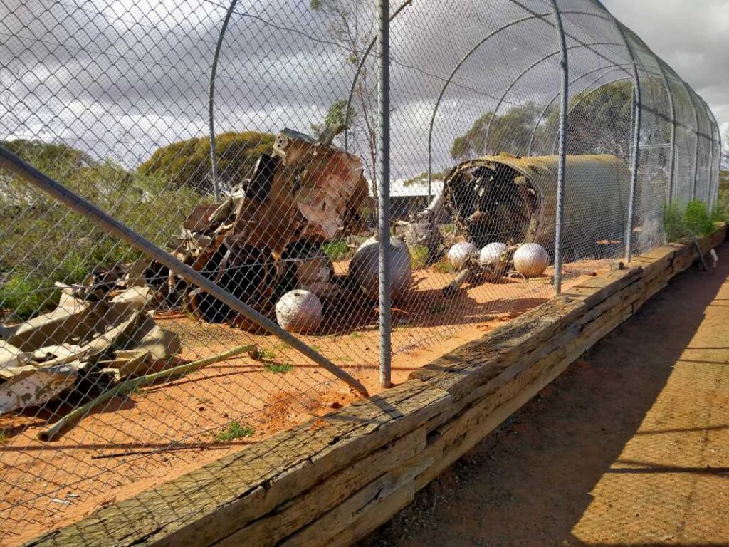
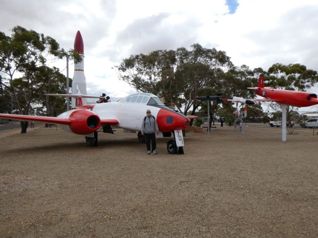
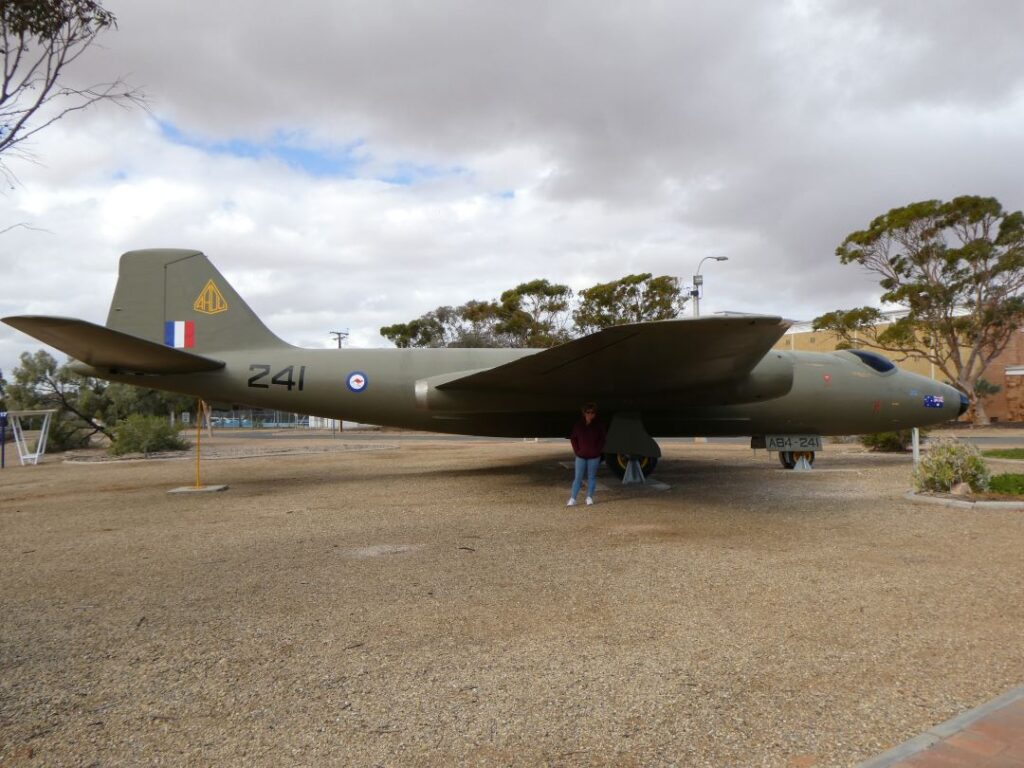
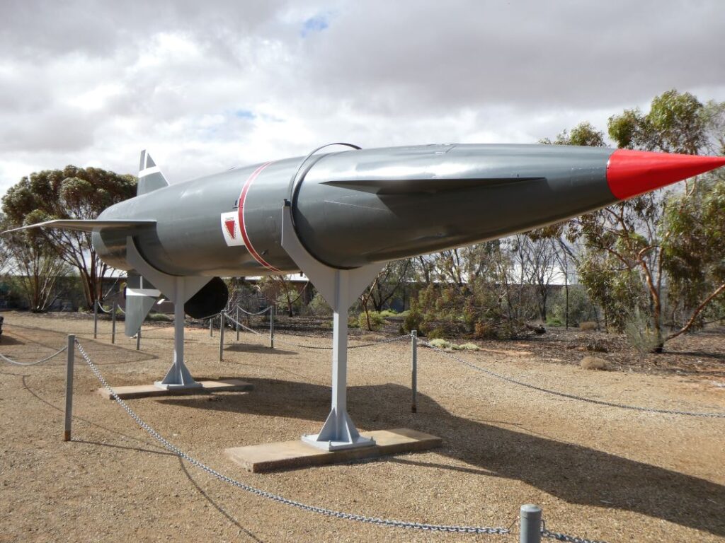
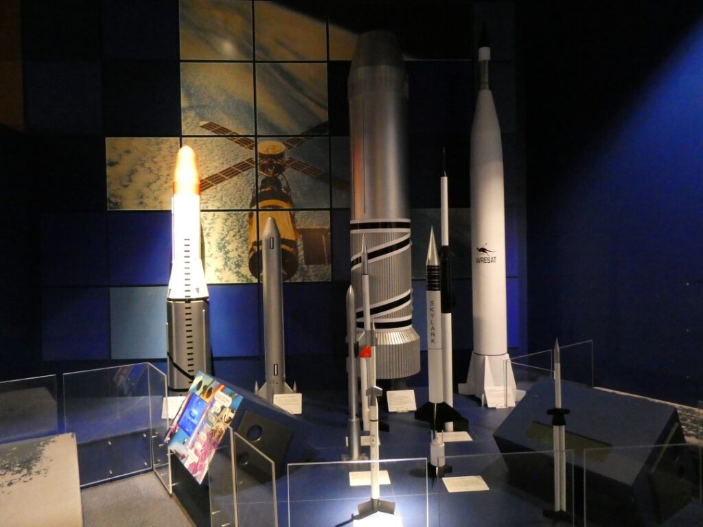
It was only early afternoon so we thought we would take a walk around the township. It had become quite cool, but we were keen to see some of the history here, which included a ‘Rocket’ Park and Heritage Centre. Both of these proved to be very interesting and were complimentary, highlighting the innovative design and experimentation that had taken place here. There were a handful of other tourists, probably from the camp, doing the same sightseeing, firstly at the Rocket Park and then across at the Heritage Centre. The Rocket Park had an array of rockets, drones and a Canberra twin-engined bomber/photo reconnaissance aircraft used by the AAF on display. There was also some debris that had been recovered from the testing range years after testing was carried out. It was quite a revelation to realise the significant development work that was undertaken here, including the development of drones as live targets for missile testing.
On the walk over to the Heritage Centre we passed by the Woomera Theatre, which according to the signage does not charge for admission to the movies. They only seem to be showing once a week on the weekend however and there is no BYO, but there is a snack bar! So it was onto the Heritage Centre and there is no charge to enter this or the Rocket Park, so thank you to the Australian Government. The Heritage Centre contains a lot of the detail behind the development of the complex, the testing that took place, the innovations and the relationships with the British initially, USA and the Japanese more latterly in gamma ray astronomy and their supersonic transport programme. On display was a Contraves Kinatheodilite, an instrument designed to track a moving object with a high degree of accuracy. I found it fascinating as I had learnt to use a theodilite in bygone days and this was a beast! Apparently there are still three in use. There are a number of interesting displays worthy of a visit here.
We walked back to the camp through the township and one of the residential streets. Adjacent to the Heritage Centre is a convenience store, which has obviously replaced a supermarket that once existed in a much larger building across the road. The abandoned supermarket building contained two tenancies, the first had the door wide open and lights on but there was nobody in sight. The building was clearly some sort of storage facility as it contained an array of products including refrigerators in boxes, stacker chairs, tables, dryers and various other items that were not readily identifiable. Some of these items may have had something to do with a sign we had seen earlier on the street, which listed a number of residential properties by address that were about to undergo refurbishment. Of course all the properties here whether residential or commercial are owned by the Defence Force. The other tenancy, which took up about the other half of the large building, was occupied by the Woomera Hobby Club and contained all sorts of hobby paraphernalia covering numerous hobby genres. It was an interesting sign on the door that read as follows:
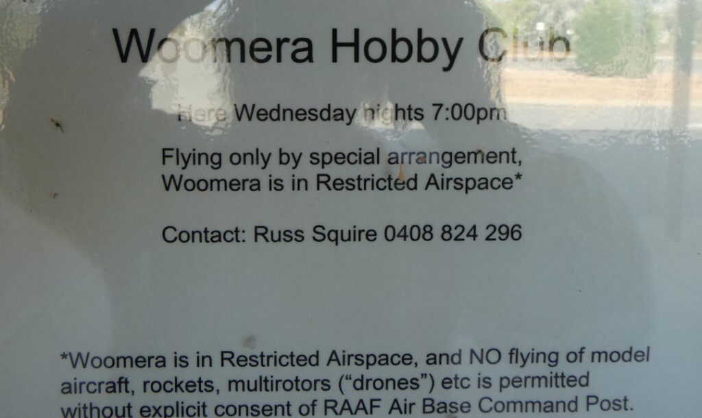
It is probably fair to say that at least some of the members of this club would be more than capable of constructing rockets, but they may feel it more cathartic to separate their day job from their hobby! The tenancy was all locked up as it was not Wednesday, nor was it 7 p.m. We finally spotted the first sign of local life as a middle aged woman made her way to the Post Office. After she went inside we wandered past and it appeared that she was the manager, as she stood alone behind the desk of what was a ‘customer-less’ shop. We slowly made our way back to the camp past houses that looked largely unoccupied with many of them having the blinds down. Other than two workmen inside one property we never saw another single resident. There were cars in the driveway of a handful of properties, although more than one looked like it had been some time since it had seen the driver. This is as close to a modern day ghost town that I had seen. When we arrived back at the camp I had to question the manager as to where everybody was and how many people in fact lived here. His answer was blandly that the population is now 135 and that they were all at work. It’s true to say that with 128,000 km²of land in this complex you could lose sight of 135 people, but I did ask whether there was any women or children in town. He said there was a local school right beside the Rocket Park and we should have seen the children as school would have just finished for the day. We never saw a single one either around the town or in any of the houses, but I took his word that some did exist.
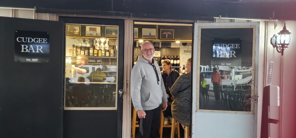
Although this campground did not have a kitchen available it did have one unique redeeming feature. At 4 p.m. each day the “Cudgee Bar’ opened in a small shed adjacent to the powered sites near the camp office end. Outside the bar was a large freestanding covered carport like canopy with chairs and tables on large paving slabs. We wandered over not long after 4 p.m. and it was already quite well occupied by some of tonight’s camping contingent. The camp manager was seated on a bar stool in the corner with a big grin on his face, clearly finding his happy spot here every day. There is no food on offer here, but Debbie ordered her usual Sav and I a lemonade, and we ingratiated ourselves like cold-calling salesmen into a circle of travellers. Of course we all largely had the common thread that we were heading north, bunny hopping up the Stuart Highway between towns, so were comparing notes on where we were staying and whether bookings were necessary, along with sightseeing highlights and things to watch out for. They were largely friendly, although I noted that the men took a little longer than the women to accept our gatecrashing of their group. It made for a pleasant hour or so as we shared travel stories, expectations and listened to a tale or two from one of the men in the group whom we labelled ‘Crocodile Dundee’ afterwards.
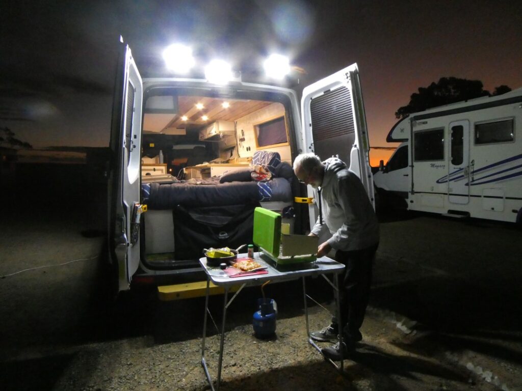
It got very cold as the sun sank below the horizon and without a kitchen we were left with our only option of our camp cooker. One of the cupboard doors had fallen off our cabinet over the bed, but one of the kind travellers from our group at the bar gave me a couple of screws and loan of a screwdriver to effect repairs. The couple briefly invited me into their caravan, which was warm from the onboard heating and I realised what we were missing with our heater-less campervan and our outside camp cooker. Still we could watch the sun slide away and we did get a glimpse of the sunset colouring that we could expect as we headed further north.
Coober Pedy (05/05/22)
Finally got on the road early today (8.30 am!), to undertake the 370 km journey from Woomera to Coober Pedy. Gassed up at Spuds Roadhouse ($2.31/L) at Pimba. The drive was long but not as arduous nor the scenery as bland as I imagined. We had spoken to others about this part of the country and of course had opinions ranging from love it to loathe it. I suspect it comes down to the number of times you make this trip and the reason for the trip. For those like us who are travelling for pleasure it is all part of the enjoyment of the journey, particularly when it is virgin territory. Regular points of interest along the way that broke the monotony became fibre-network booster towers, lakes, road-trains, caravans, road-kill, army convoys, layby’s with their various outlooks, ‘grid’ signs (these appeared just before a ‘cattle stop’ across the highway, although nobody slowed down to cross them anyway) and on this section of highway, airplane landing markings for the Flying Doctor Service. I understand that the police do close the highway at each end of this ‘runway’ when the FDS plane is required to land there!
The weather continued to be fine and largely cloudless skies with temperatures in the low 20’s. We took a toilet stop and at Glendambo and Debs picked up a coffee. This is a popular roadhouse stop for truckies and travellers. We had made good time nonetheless, averaging around 100 km/h and arrived in Coober Pedy very early in the afternoon.
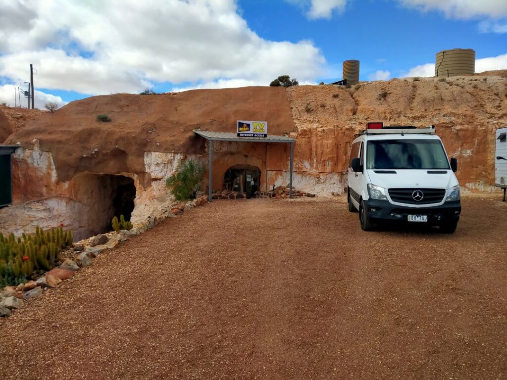
I would say of all the places we had visited during this entire trip so far that Coober Pedy was the most fascinating. To immerse ourselves in the ‘underground’ experience of this town we had chosen to stay at Riba’s Underground Camping & Caravan Park, which is located on William Creek Road approximately 6 km south of the Coober Pedy township. The Coober Pedy settlement is founded entirely on one industry and they are not shy at telling you what that is …
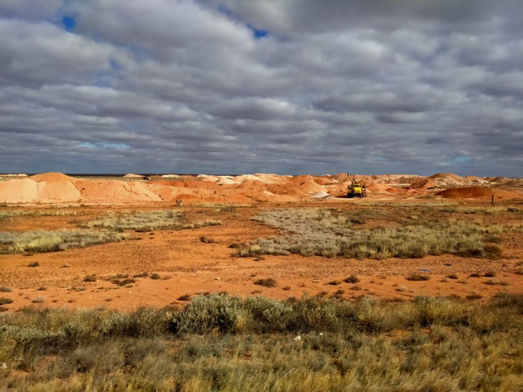
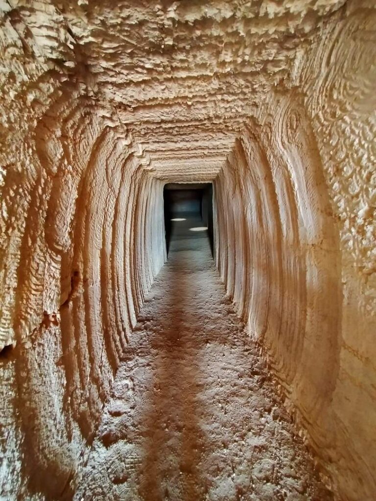
Long before you reach the township ‘mullock’ heaps can be seen rising like termite mounds above the flat barren landscape. Mullock is generally described as worthless material, that which is discarded after the valuable product has been extracted (normally referring to gold). That is certainly not the case here as we learnt, but I will explain that further below.
Our campground was everything we had hoped, once an operating mine that was closed down as a result of the government’s prohibition on mining within the Coober Pedy town boundaries. Our campsite was immediately adjacent to the underground television lounge, which we make good use of during our 3 night stay here. Being some distance from the township there was no concern over safety from any possible undesirable community element, but also it was fully immersive in regards to the mining environment. The facilities themselves were adequate. The ablution block had hot showers, but only cold water in the basins and no hand drying. The ‘kitchen’ was an external compound covered by a metal roof and contained a gas-fired hot plate and 2 x two burner hobs. We didn’t use the ‘kitchen’ during our stay and we didn’t see many others using it either.
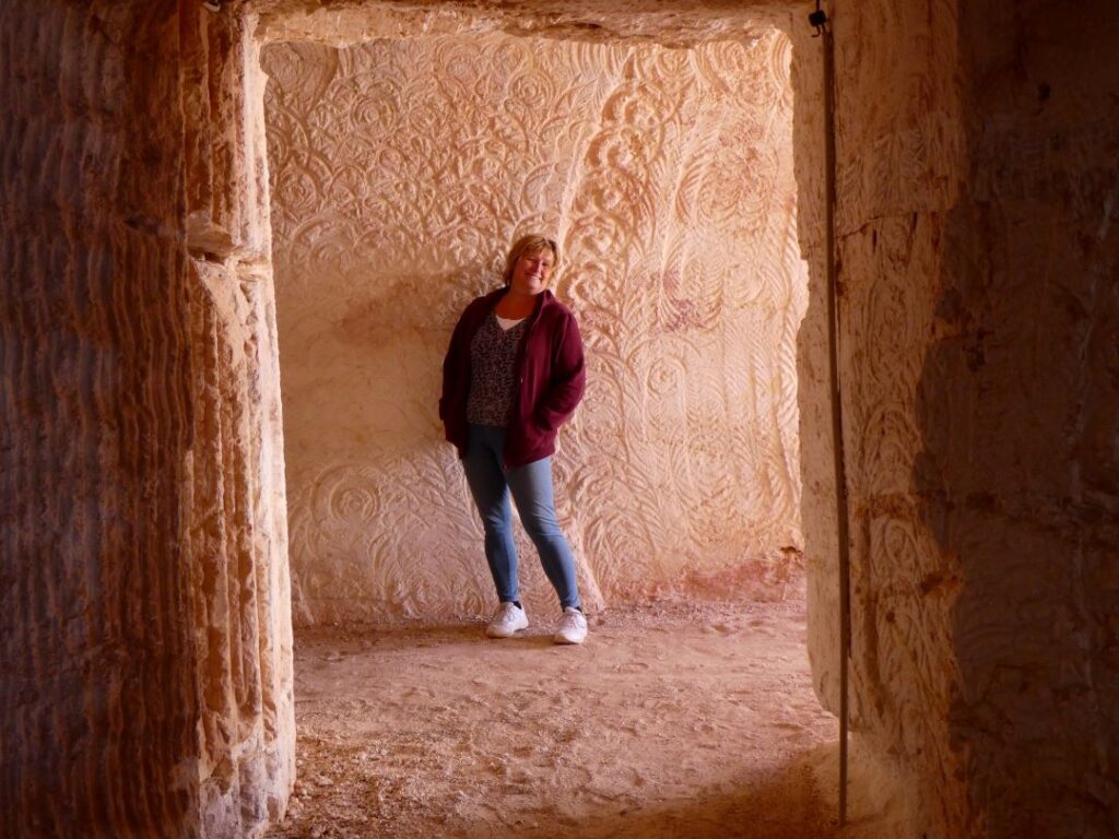
The real drawcard here at the camp is the underground facilities. The door just to the left of our motorhome in the photo top left below leads to the underground TV lounge, dining area and reading lounge. A separate cave labyrinth contains a series of ‘tent’ sites and bedroom suites for a very unique accommodation experience. After a quick bite of lunch we took a self-guided exploration tour around these caves, which you are free to enter at any time. The following photos best describe these unique features and provided us with an insight into the mining of the sandstone caves. There are many residences and commercial premises in Coober Pedy that are housed in caves and from a temperature point of view they are remarkably ideal, maintaining all year round a 20 to 22° C temperature night and day. Certainly I would suggest they are not for the claustrophobic or those who enjoy panoramic outdoor views however.
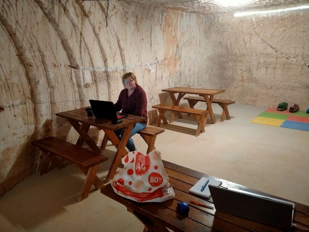
You can see Deb’s on her laptop computer in the photo above. We had good Wi-Fi coverage in this particular cave as the modem was located here! Temperatures in Coober Pedy at night currently were around 7 to 10° C, but in the summer during the day could reach up to 50°. I can see the benefit of living in a cave if you are here all year round, but personally I would rather see the great outdoors from my dwelling! Probably why this town is largely deserted in summer.
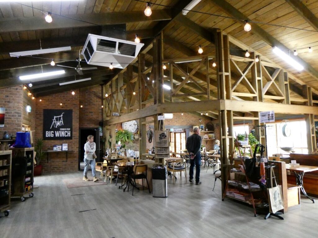
We still had a good portion of the afternoon left so we ventured into the township and it was quite remarkable. The first thing that struck me was the sandstone ‘hills’ everywhere with small verandas over the windows and doors, all of which were set into the rock faces. It looked a bit like a real-life version of Hobbiton. It’s hard to imagine how this whole town looked before the rock faces were carved out to enable access to caves from a reformed ground level. It was also a little difficult to tell the difference between what was a prehistorically formed solid rock hill and the mullock heaps, although I’m sure that you cannot mine a home out of a mullock heap! Since this was an orientation visit we drove up to the “Big Winch’, a restaurant/bar perched above the township, affording 360° views. Whilst here we booked in for dinner and the 360° cinema screening, which we would return for later in the evening. In the meantime we took some photos from the elevated position and then visited the Umoona Opal Mine and Museum. Tours are available of the old mine here, but we didn’t have time this afternoon for that.
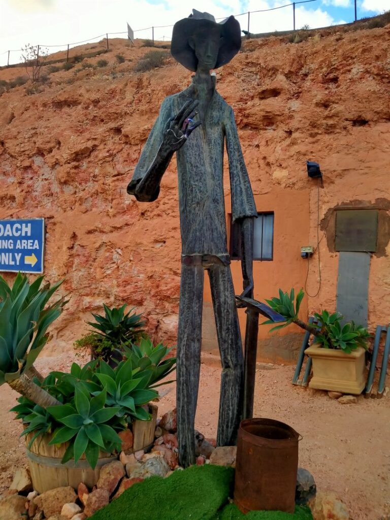
The Umoona Opal Mine and Museum displays a wealth of information about the geology of the region, history, opal mining (of course) and the longest fence in the world, the ‘Dog’ fence. There is a tall miner who greets you outside, a spaceship and the customary gift/souvenir shop. Yes this is truly a fascinating town!
With all the talk of living in caves it brought to mind prehistoric man and a TV programme more familiar to us oldies. Yes, the Flinstones and of course this town has its own ‘Bedrock”, described on the sign as “Underground Budget Accommodation”. It is located immediately adjacent to the Umoona Opal Mine and Museum. I would hate to think what budget cave accommodation looks like. Maybe you have to dig your own bed! We didn’t venture in but headed back to the Big Winch for dinner, the 360° cinema screening and panoramic views of the sunset. The latter was strongly recommended to us by other travellers we had met along the journey. The meal was hearty in size and extremely well priced at A$35 for the two of us (excluding drinks), but the sunset was a disappointment because of the heavy cloud cover. Only four of us attended the cinema screening (A$10pp, discounted price for having a meal) on the night we were there and the overall presentation took around 40 minutes. We pushed the vinyl benches together for a chaise lounge effect and relaxed through the historical and mythical history presentation. Our static viewing position probably didn’t make full use of the 360° screen effect however! Afterwards we listened to some live entertainment in the outdoor dining area, bringing to the end a long but rewarding day in the Australian outback.
Coober Pedy (06/05/22)
Day 2 in Coober Pedy started with a cold shave (not hot water but at least I had a shaver again) and a brisk shower (with hot water) thanks to the very cold morning. We had to be thankful for the water at all as it is at a premium here with an average rainfall of only 190mm. Having said that there was flooding in Central Australia back in February washing out a bridge or two and stranding travellers for a week. Also during the Covid outbreak there was an influx of local travellers by road (escaping the locked down cities I assume) and they overwhelmed the sparse number of service stations, running them dry of fuel.
After our cereal breakfast we headed back into the metropolis of Coober Pedy starting with the “Old Timer’s Mine and Museum”. We spent about an hour here on a well documented self-guided tour. Wearing the hard hats provided was optional but was highly recommended and there were some areas that you felt safer with them. The mine was first worked in 1916 and has been preserved in the original condition so the sign says. During the excavation for the current entrance back in 1987, A$50k opal was discovered. I’m sure that assisted in paying for the new entrance! There were numerous exhibits of mining equipment and insitu samples of various minerals and fossils, together with some unusual memorabilia, including (just for Debbie) an old dental chair and drill and bottled local wildlife. There is also the original dugout, which was the home of the miners and various others over the years and is now an underground display home. And of course the gift shop. Outside the museum there were two small mullock pits where anyone could ‘noodle’ (scavenge in the discarded mine waste for opal fragments). Heaven only know how long these had been there and whether they were regularly replenished with fresh mullock, but we had to have a go. Fortunately a travelling/working French girl. who seemed somewhat more seasoned in noodling, was already in the pit and showed us some fragments she had collected. We managed to unearth some pieces and it became a bit addictive as we filled a couple of small plastic bags with extremely low quality opal!
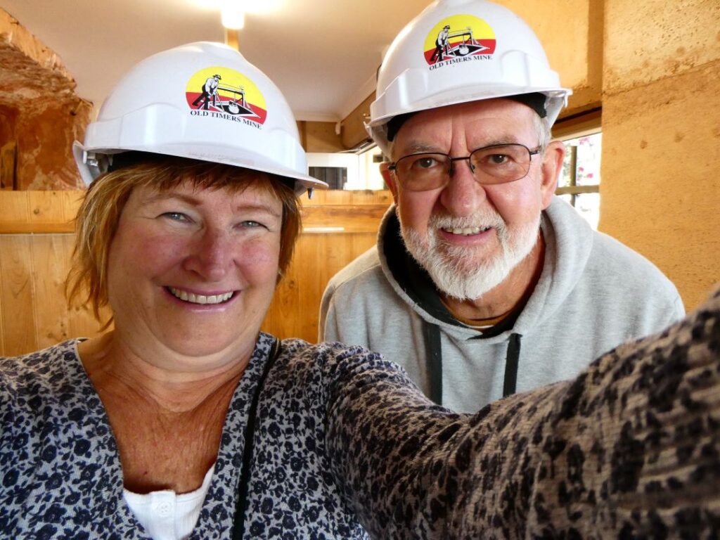
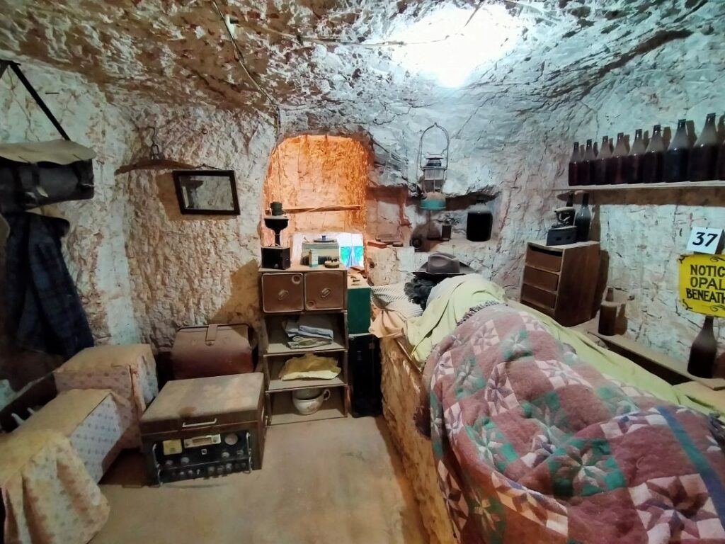
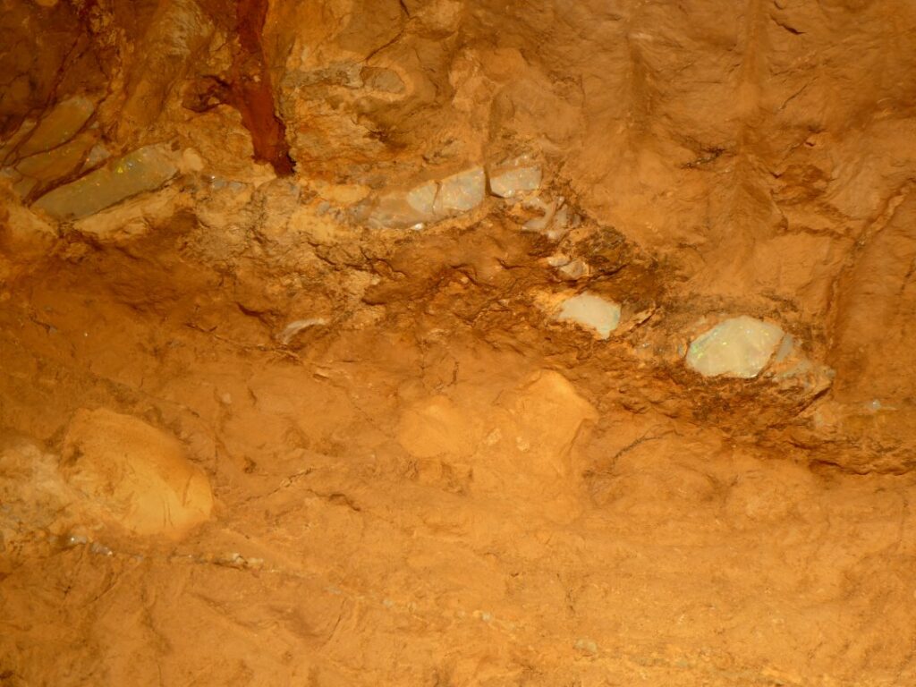
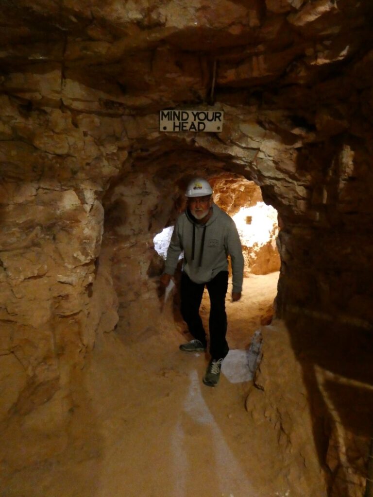
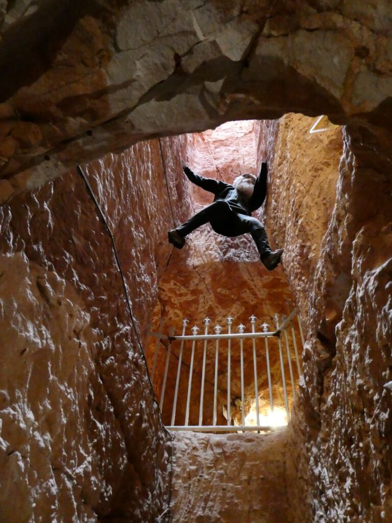
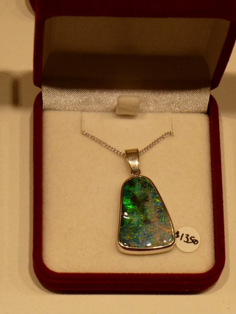
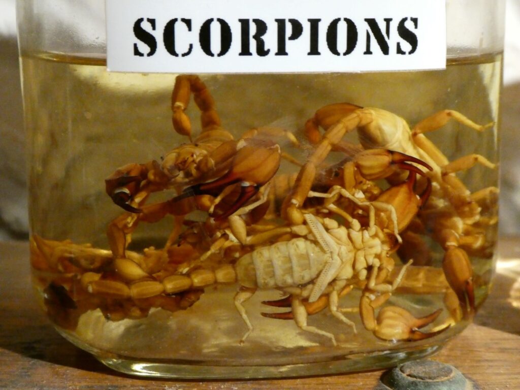
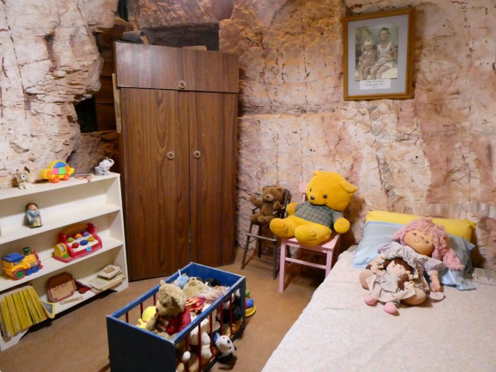
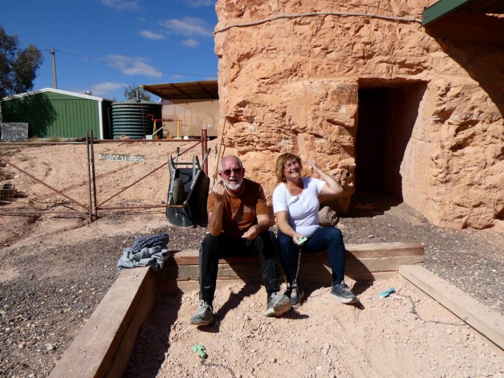
I think we got a little sunburnt whilst noodling. Days were getting hotter but the nights cooler, and we had taken up sleeping in our clothes on occasions! Lunch was a sizeable meal at the “Outback Bar and Grill’, since we were doing the mine night tour back at our camp and dinner would be light. After lunch we did a quick tour around the suburban streets of Coober Pedy, stopping at ‘The Big Miner’. Another opal store specialising in rough and cut opal, matrix concrete, unique fossils, specimens and handcrafted jewellery. There we met Jim, the owner, an elderly Greek ex-miner and master craftsman and his daughter Maria who was visiting from Adelaide. We spent quite a lot of time here talking to Jim who was very candid in his stories of opal mining and trading, whilst Maria explained how she was attempting to set up online trading for their store.
After taking our fill of knowledge about the opal industry and purchasing nothing, we headed to the local supermarket (IGA) that literally appeared to be the town’s one-stop shop. We were very impressed with the range of goods here and this was by no means a small town general store. Prices were probably in the range of 10 to 20% above the city supermarkets, but that is only to be expected. Dinner ended up being a handful of grapes before we embarked on the 7p.m. mine tour. The entrance to the mine was actually only a few paces from our campsite and there was a discount on the campsite fees for doing the tour. We joined a dozen or so others and met Jason, our guide and what I would describe as the quintessential ‘Aussie outback bloke’, a miner with a tongue as quick as a Taipan’s. He spoke as if this was his mine (and perhaps it is, along with the camp) and he was well versed in the tour narrative, with descriptions, quips and comebacks as fluent as a stand-up comic. As I said above the mine was now closed as a result of government legislation, which did not allow mining in the town boundaries. However Jason was quick to point out, with a glint in his eye, that you could still create another ‘dwelling room’ or space if you needed one! By all accounts his 13 years in the mining trade here had made him into a wise and wily opal dealer. He doesn’t spend his time down the mine shafts swallowing mouthfuls of sandstone dust these days, but hires others to do that work, which of course is a lot more mechanically refined than the early days. Having said that it’s hard to tell how much improved the health and safety measures are. These mines do not use shoring for support, but rather the experience of the miners as to how much they can open safely, it appears.
There is certainly much to fascinate about this town, famous for mining one of the most precious gems on earth. From our short visit, observations and stories (facts?) told by the locals we learnt the following:
- Only around 3% of the people who come to mine here have any real success
- There was no obvious outward sign of the wealthy, which may be consistent with the above statement!
- Even those who do make a living out of opal mining only make enough to cover their overheads (sounds like one for a Tui poster)
- The Coober Pedy railway station is 40 km west of Coober Pedy down a dirt road. Picking up visitors off the train at night is hellish
- The vertical mine shafts that lead down from the surface, litter the countryside and they suggested there may be up to 1 million of these. Since they are not filled in, it is extremely dangerous to wander around the minefields (appropriately named). Some of the shafts have been covered up on the surface for later return by miners who have staked their claim there, but do not wish others to enter for obvious reasons. However the story is told of those that have fallen down the shafts with fatal consequences (see photo of sign below). Don’t enter the Coober Pedy sand hill marathon!
- People like us wandering into town are not the real buyers of opal, but rather those from the (mainly) Asian continent with extremely large amounts of cash. How they get that into the country is anyone’s guess
- Despite having geologists and large companies venture into town, no one seems to know exactly where an opal seam will be discovered and it’s an entirely random process of staking a claim and hoping for the best. No miner will tell you if they have found opal anyway!
- A random discovery at one point was that opal could be seen under ultraviolet light, and this was proved to us by Jason when he turned the lights off in the mine during our tour and shone an ultraviolet light onto a seam. At least one operator in town makes a good living (say AU$2k-AU$k3 per day) out of putting the mullock down a conveyor belt and through a blackened shed under ultraviolet light, to find the gems missed by others and dumped into the mullock during the mining process. Of course this amount of income only covers his costs?!
- There are a small number of operators using opencast mining, but this is more expensive and creates a huge amount of mullock!
- If you buy alcohol in Coober Pedy you will be asked for identification irrespective of your age (Debbie was flattered initially when asked for hers!)
The story is told here of one miner who toiled for years with little reward, but one day decided to enlarge his underground home and discovered a huge opal seam worth around AU$1 million, only 200 mm from where he was living. It is also a frustrating issue with mining opal that you can give up and may have only missed the seam by a hair’s breadth. Our tour guide said one of his preferred mining methods is to take over the abandoned mines of others for this very reason.
We will return to this town on our way back south, so look for further points of interest in this town later on in the blog. In the meantime we will leave you with some random photos of this ‘highly recommend a visit’ town. We gassed up for our journey north tomorrow at the Mobil Service Station, where diesel was $2.08/L, a pretty reasonable price actually.
This town was the inspiration for the song and Video “Old Opal Town” – click this link to watch – https://www.youtube.com/watch?v=NLxxlPU9400
MARLA (07/05/22)
It was 235 km from Coober Pedy to Marla, with the brief stop along the way at Cadney Homestead, a roadhouse, bar, service station and camping ground about 80 km south of Marla. This looked like a regular stop for road trains, which are commanding the road regularly now. The roadhouse itself contains some memorabilia and an array of outback hats, but for us was primarily a toilet stop.

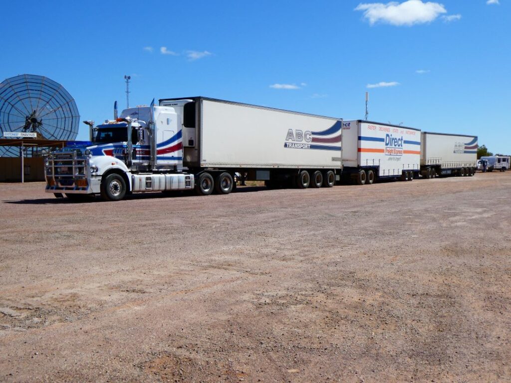
Another gloriously sunny day on long straight roads surfaced in a mixture of grey and terracotta chip seal, punctuated by the very occasional roadkill, beckoned us to Marla. The landscape was largely unchanged from our previous trip, once again we enjoyed the drive and made pretty good time to arrive in Marla mid-afternoon. We paid our A$35 at the roadhouse and was directed to the campground around the back, where we could largely take any free powered site. It was already reasonably well populated, but we found a good site in the sun nonetheless. By now we are regularly meeting the same people who are making the ‘kangaroo hop’ trip north via the same campgrounds. There was John and Marcia from ‘Tazy’, Michelle and Ammo from Adelaide, Nikki and Steven also from ‘Tazy’ and Ed and Eddie from Dubbo. There were others as well, but I was well and truly losing track of names by now.
Marla is really just the roadhouse, which includes a mini-mart and a small room offering aboriginal paintings for sale, gas station, camping ground and the somewhat dishevelled yard of the local motor workshop come emergency breakdown service. The campground includes a large number of units, some of which were occupied by the road workers who are currently sealing the Stuart Highway. There is no communal kitchen but the shower and toilet facilities are excellent. There is also a swimming pool, but no one was taking advantage of that this time of year. The temperatures were in the low to mid 20s, but that only lasted for about 2 hours in the afternoon. It was a short visit here, but a relaxing one and a great stopover point.
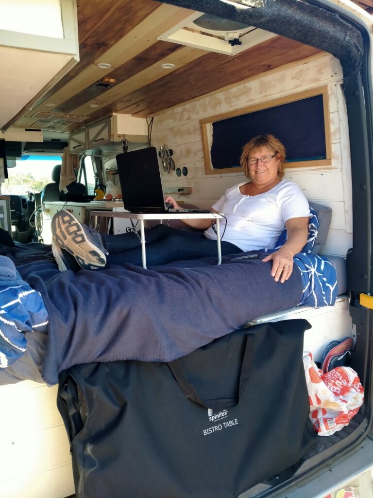
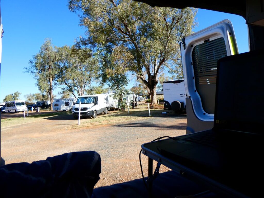
ERLDUNDA (08/05/22)
A 245 km drive today from Marla to Erldunda and the significant milestone of crossing from South Australia to the Northern Territory. The long straight highway carried us swiftly north to the border. It was real outback country now, dry and parched with the soil gaining a redder tinge and our first real introduction to what would become a proliferation of the famous incessant Aussie flies. Compared to our crossing of the border between Victoria and South Australia this border was much more prominently displayed. A solid concrete monolithic sign and a clear white line on the asphalt in the layby boldly welcomed you to the Northern Territory. It was a somewhat ominous introduction to the state however, as a burnt out car sat in the layby beneath a sign that read “Please leave rest area clean and tidy”. Is this what happens it if you don’t??
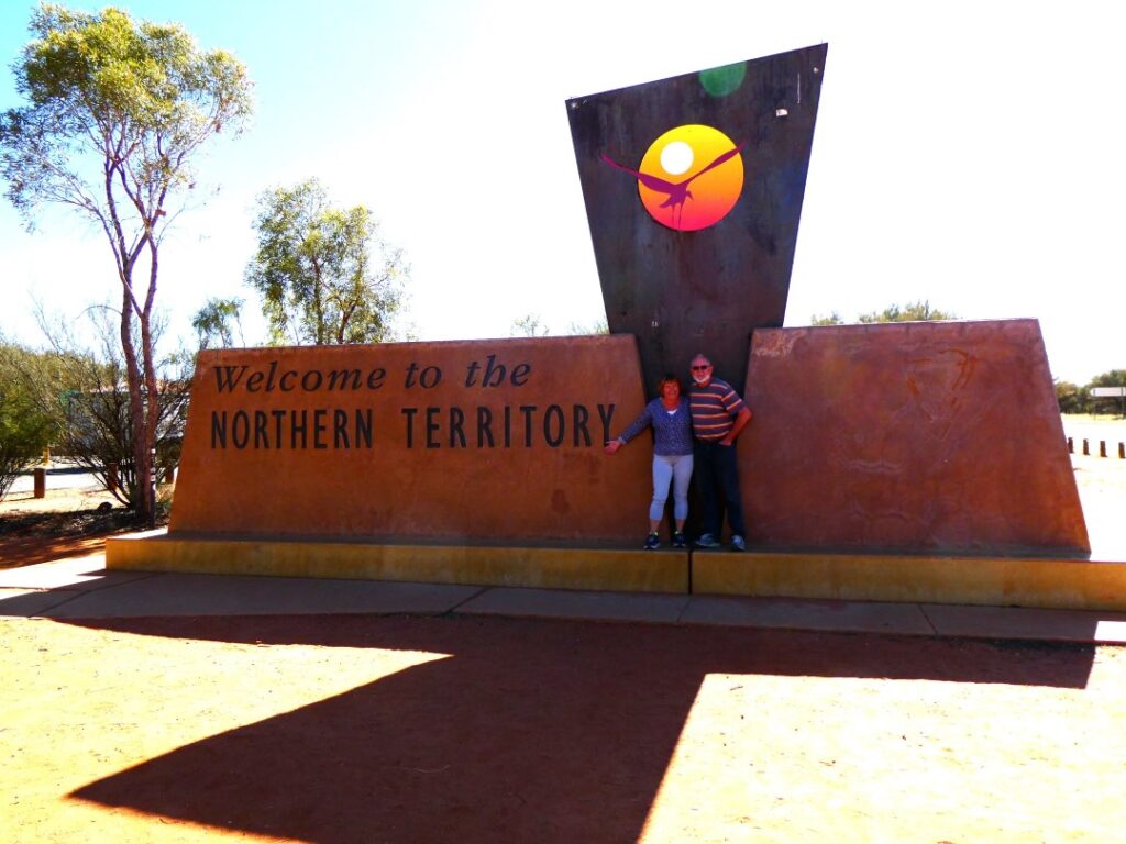
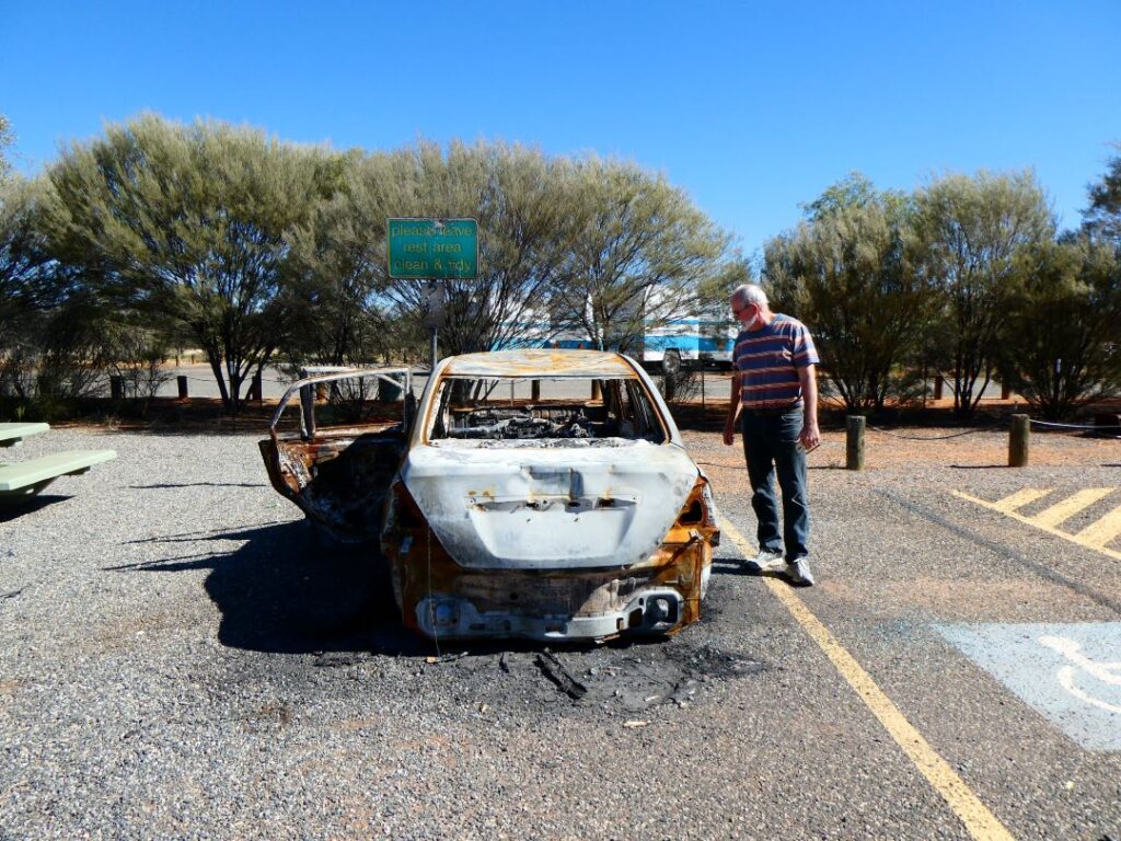
Soon after the border crossing the speed limit increased to 130 km/hr and although we only reached that speed once (purely to say we did it!) our average speed was probably around 110 km/hr. Travel distances are chewed out rapidly at that sort of speed, so despite the long distances travel times were not particularly onerous. Our next stop was the Kulgera Pub, another roadhouse and campground just over the Northern Territory border. We took advantage of a toilet stop, the A$12 hot drink and toastie special and look around at what may be loosely described as comedic contemporary Australian outback art collections and memorabilia. It was an option to stay here but we had already settled on continuing further north to Erldunda to better even out the travel distances per day. We dined outside with some local bird life for company.
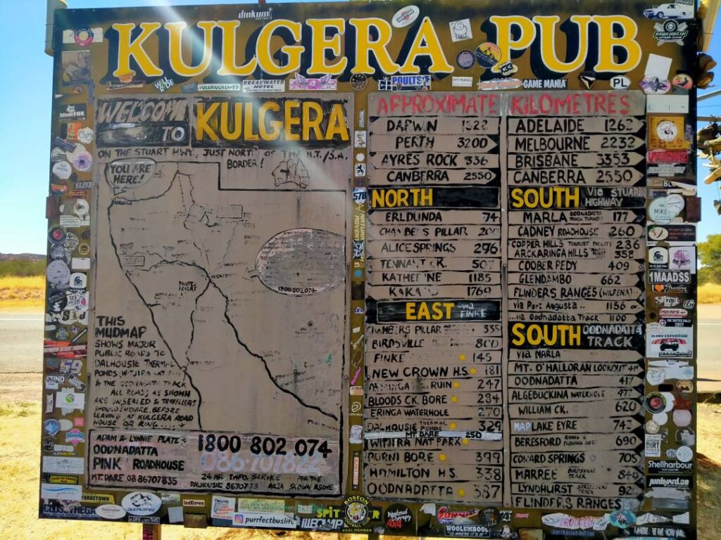
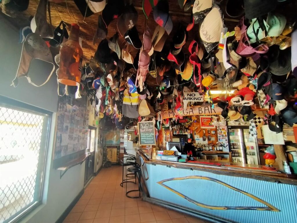
It was onward to Erldunda, which is located in the “centre of the red centre” on the junction of the Stuart Highway (A87) and the Lasseter Highway (SH4). SH4 is the highway out to Yulara and Uluru (Ayers Rock), which would be our journey tomorrow. Erldunda is another roadhouse, restaurant, service station and camping ground, with motel units and a swimming pool. A powered site here was A$38. There was no kitchen, but was informed by others that the restaurant food was excellent. The site also houses large amenities and ablution block, together with the bonus of a wildlife park housing a camel, emu and chickens. There was also an elevated timber viewing platform that overlooked the wildlife enclosure and was ideal for a gathering with fellow travellers at sunset, sharing drinks and nibbles. It was a cold night after sunset and it was time to pull out the puffer jacket, cook dinner on the camp cooker and share a sociable evening with new found nomad friends Ammo and Michelle. Debbie certainly took advantage of the wildlife on offer here during the afternoon and the following is an array of her photographic record.
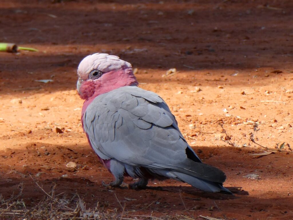
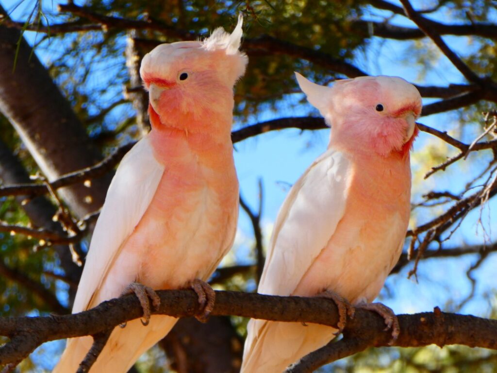
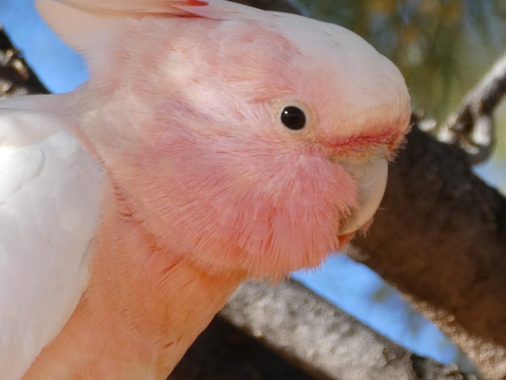
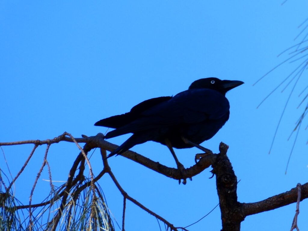
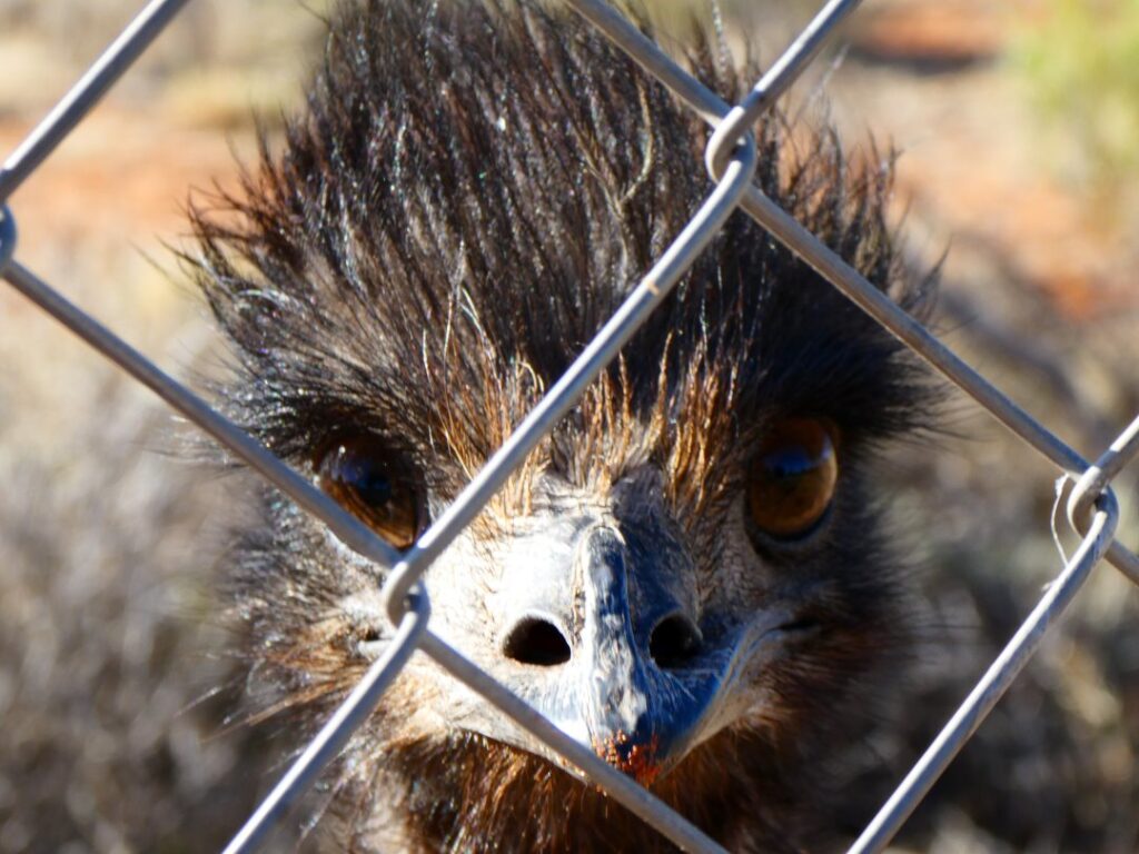
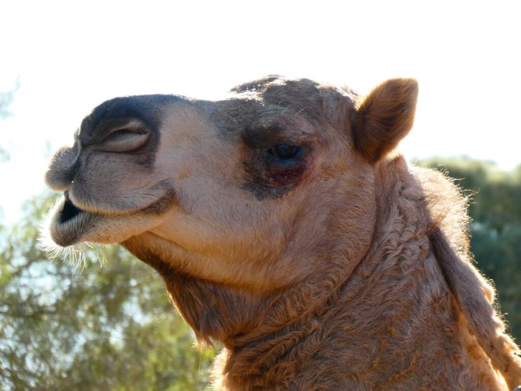
Here’s a few further shots showing the campground and the tormented sky at sunset giving the whole landscape a layer of orange.
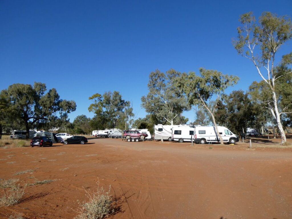
YULARA (09/05/22 – 11/09/22)
The service station at Erldunda was undergoing a re-tank so fuel was being dispensed from temporary above ground skid tanks. We topped the tank up here, which required only about 35L thankfully, as the price had risen to an astronomical A$2.96/L. After driving for a while we spotted a rock monolith standing alone in the desert and clearly our first reaction, like multitudes of others no doubt was “Wow, Uluru already”. But we were very skeptical, doing a quick calculation of actual distance to Uluru and how far the eye can see made us realise that it was impossible. It took some research to determine it was in fact Mt Connor (also known as ‘Fool-uru!!). It is impressive nonetheless, but lies on the massive Curtin Springs Station and can only be visited by guided tour and this is only available if enough people are interested! We stopped at the Curtin Springs ‘settlement’, which is another roadhouse, service station and campground about 100 kms from Uluru. They no doubt pick up the overflow here from the often overloaded campground at Yalara. We did check the rates here previously and they wanted $65/night for a powered site. They also ask for a A$10 donation if you filled your fresh water tank here.
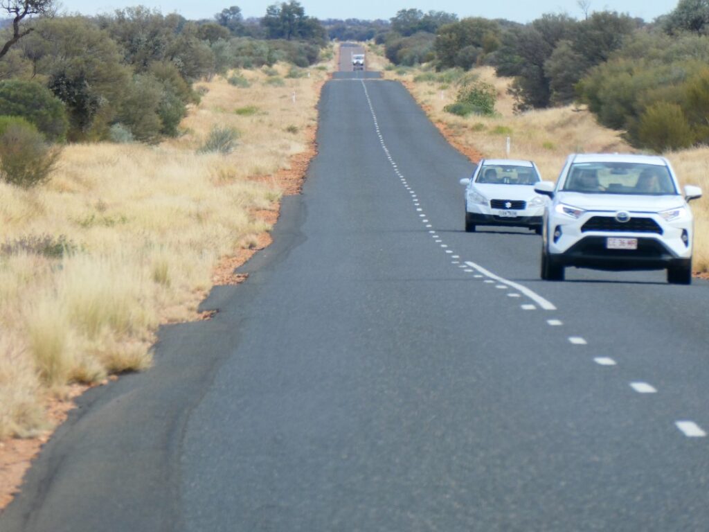
We had booked ahead for three nights at the campground at Yulara as we were warned numerous times that the Ayers Rock Campground as it is called, can be booked out at this time of year. The Ayers Rock Campground is the closest to Uluru these days, but is still about 20 kms away. Because of vegetation and the landscape contour, Uluru was not as easy as Mt Connor to spot initially …
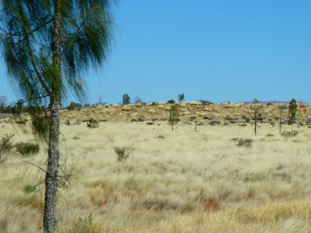
We arrived in the resort town of Yulara right on midday, but it took almost an hour after arriving in the campground gate to get to our site. Apart from the numerous vehicles queued up, there was quite a queue in the office to check in for some unknown reason. It was as well we had booked and it appeared the 132 powered sites were fully booked out. Given the popularity and monopoly this campground had here we thought the A$42 charge per night for a powered site was reasonable indeed. We would stay three nights here as there was much to see and do in and around the resort town of Yulara. It is the closest town and Tourist Centre for Uluru and perhaps the lesser-known, but nonetheless spectacular feature, Kata Tjuta (perhaps better known to some as ‘The Olgas’). We knew nothing ourselves of Kata Tjuta, which is the original Aboriginal name of these rock mounds, although a number of people we spoke to felt they were more impressive than Uluru itself.
After setting up on our site we took a walk around the camp which consists of 132 powered sites on our side of the camp and 29 nonpowered camping areas, although we did note that there are more powered sites on the western side of the camp as well. The camp has gas bottle filling, a playground, swimming pool, a lookout to Uluru, a large amenities block and two laundries. There are also a number of free LPG barbecues scattered around the camp, although some were out of order, but we did manage to find one we could use for dinner near to our site. We walked across to the township via a dirt track, which takes you over a mound that enables another distant view of Uluru. The whole of the township area is called the Ayers Rock Resort and is well presented and maintained with cobblestone paths, a luscious green grass park and gardens in a small shopping centre containing an IGA supermarket. The accommodation options include a luxury resort hotel and condo’s catering for the high end of the market, so this is not just another dusty old red centre town with a campground!
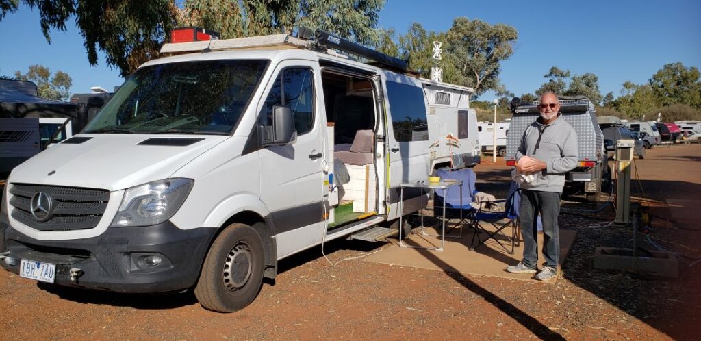
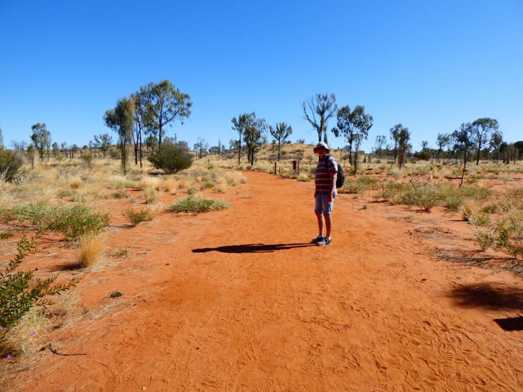
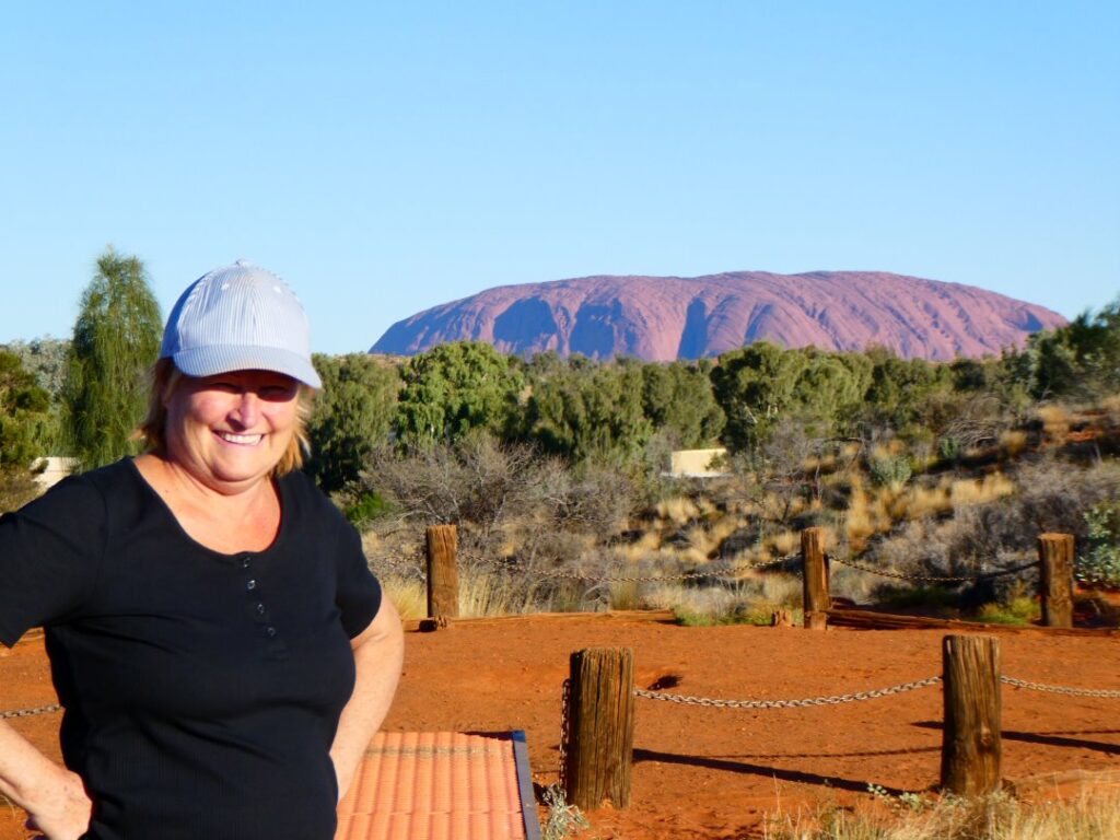
We stumbled upon a free demonstration on how to play the didgeridoo, so I sat in on that while Debbie headed off with her camera to upset some local aboriginals, whilst getting a few snaps of the local life! Photographing their art without purchasing it was a bit of a no-no! There weren’t enough didgeridoos to go around during the lesson so despite learning the complex breathing techniques I never actually got a chance to try them. The tutor was actually a young Australian gent, which was slightly incongruous given the indigenous nature of the instrument, but was also encouraging in that it did betray the premise that “white people can’t jump” (or play the didgeridoo in this instance)! Traditional aboriginal dot painting was being taught also but we thought the $79 per adult for 90 minutes was a bit steep, considering you can watch it online for free (that’s the Kiwi camper tight bottomed attitude coming out in us). We made our way back to the camp and the elevated position to watch the sunset on Uluru, but managed to miss it by a few minutes! We weren’t concerned though because we are here for three days and there were better viewing positions closer to the rock for this purpose anyway. We cooked our dinner on the camp barbecue and dined with Michelle and Ammo, who had become our travelling companions now.
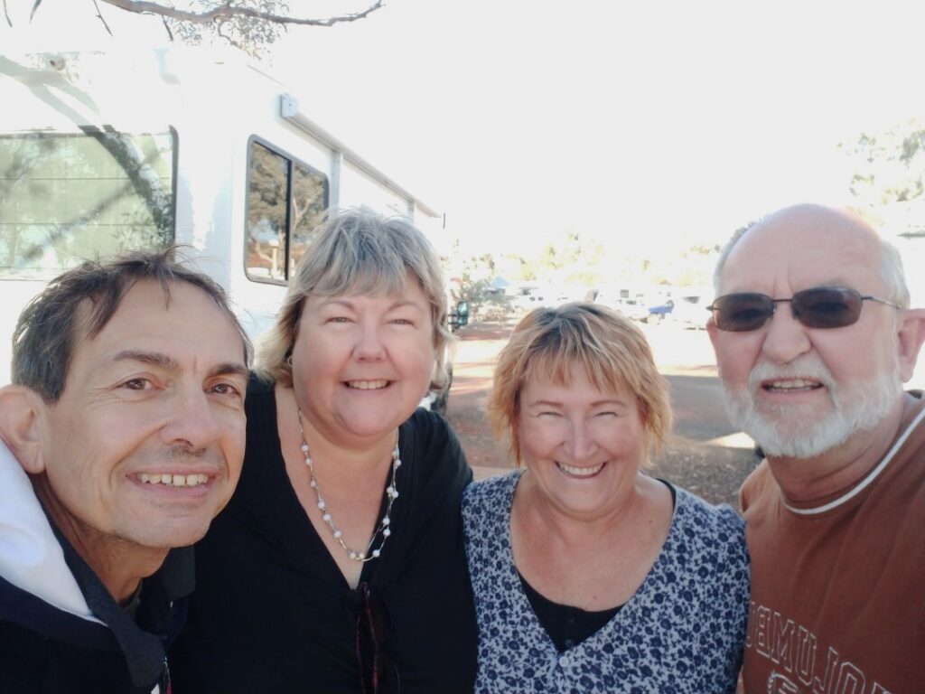
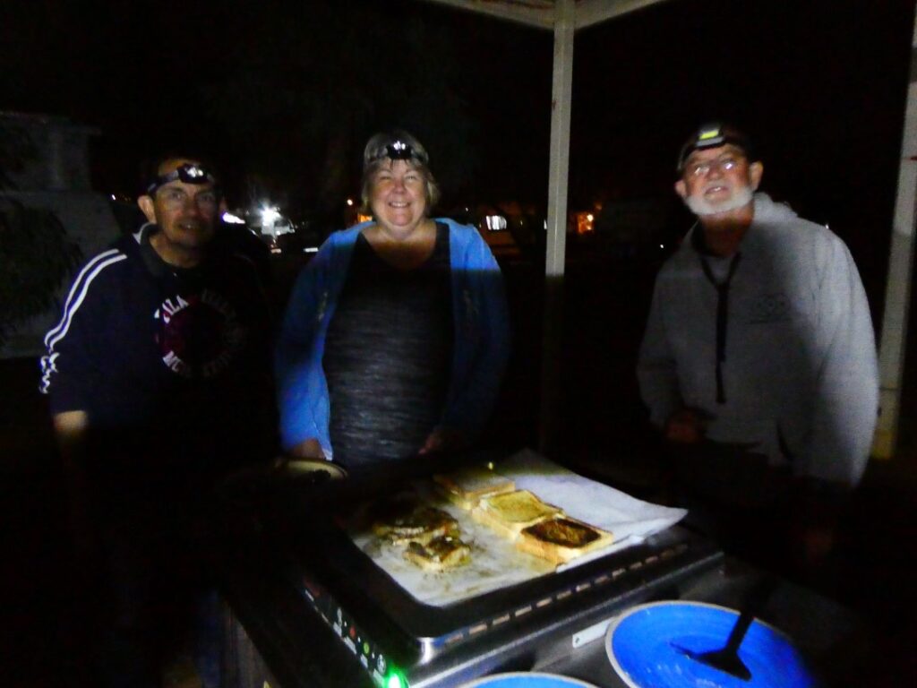
On the morning of 10/05/22 it was time to head off to Uluru itself, as we had booked pushbikes for a cycle around the base of the rock. Uluru is in the Uluru-Kata Tjuta National Park and we had to pass through a tollgate and purchase park tickets to enable access. These were A$38 per adult for a 3-day pass. An annual pass is A$50. You can purchase them online and swipe through a code reader at the tool booth, although there was no queue at the toll window when we went through.
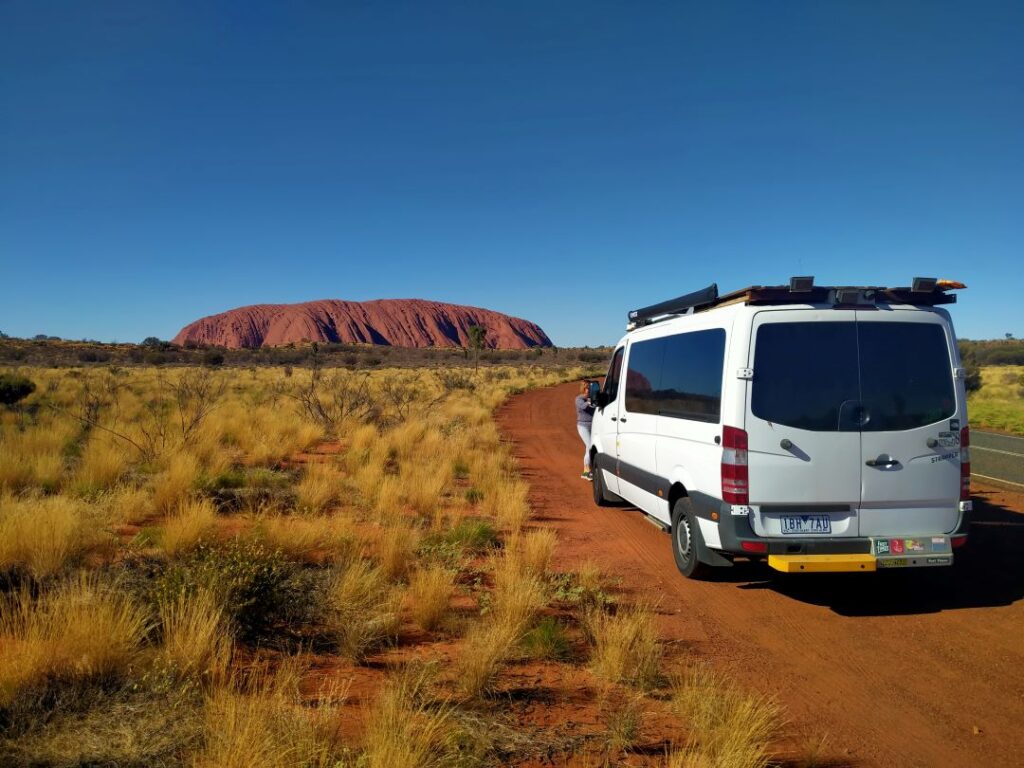
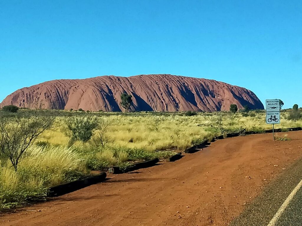
The bike hire is for a three-hour period commencing at 11 a.m. and the track around the base covers a total distance of around 10 km. These were not e-bikes, but it is pretty much dead flat and proved to be relatively firm throughout most of the journey. They supply helmets and the bikes were well worn but adequate and I think it was a wise choice to take the bike option rather than walk the trail. The bike hire commences at the Cultural Centre and you need to cycle about 2.5 km to the real commencement point at the base of the rock, which is a public car park but for some reason doesn’t have the bike hire there. The instructions to the commencement point were just verbal and not totally clear, so we wasted a little time at the start until we got some definitive direction from others on the track. Once we were on the base track from the car park there was definitely no problem following the trail. Cyclists do the track anti-clockwise and walkers clockwise, a simple but effective safety protocol. We came across a number of people walking and they certainly looked like they had done a good distance having started early in the day. We told the first few they were not far from the end and they seemed exceedingly pleased about that!
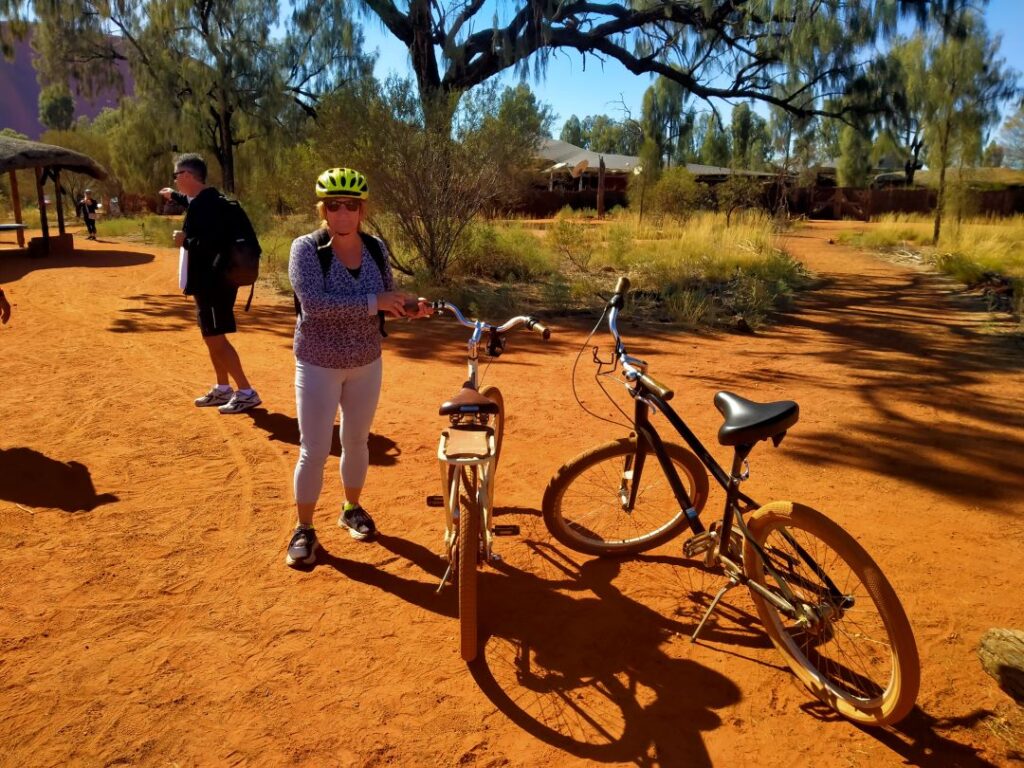
The trail runs very close to the base in some places and then drifts away for a time as you head further east to northeast. Of course you can stop and view any of the points of interest, including rock paintings and spiritually significant features, with the aboriginal legends explained on signboards. You cannot climb Uluru anymore as it was permanently closed for this purpose on 26 October 2019. We had spoken to numerous people both in Australia and New Zealand who had made the climb earlier in their lives, and the track on the surface of the rock is still recognisable, even though the posts and chain that were installed to assist in the climb have been removed. You can walk up to Uluru and touch it, although there are certain spiritually significant areas that you are prohibited from approaching. There are areas of rockfall that have left scars in the rock face; some caverns and boulders as large as houses. There is virtually no loose scree around Uluru however, rather the smooth faces of the sandstone (specifically Arkose, which is sandstone containing 25% Felspar at least) rising to 348 m above ground and rock ‘waves’ that curl over you like the ‘pipeline’ in breaking surf.
It was certainly one of those iconic moments being alongside something that we would have looked at in awe since we were children. I find that the Internet and large screen high-definition television seemingly brings you closer to many of these iconic world features, but it is still a ‘pinch yourself’ moment when you stand at the base and look up the sandstone surface. What you see above ground is literally the tip of an iceberg, with a further 2.5- 5 km below ground from inferred geological processes. In other words there has been no definitive investigation of the depth below ground so it has been assessed using typical geological understandings of this type of strata. Like Mount Connor, Uluru is an Inselberg, having been left standing above the plateau after millions of years of erosion of the surrounding strata. In the end the many faces and colours of Uluru against the surrounding landscape were stunning.
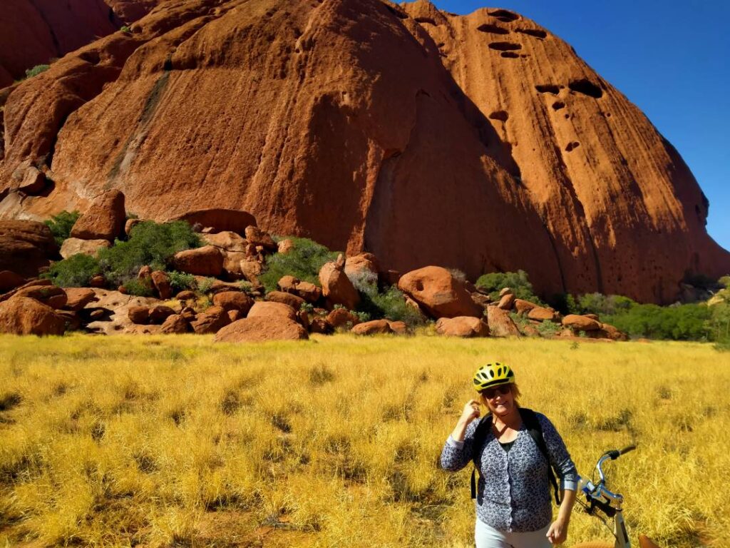
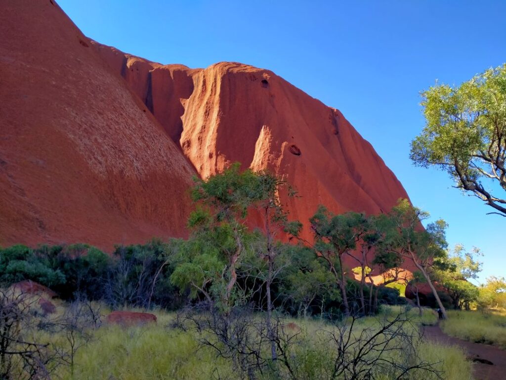
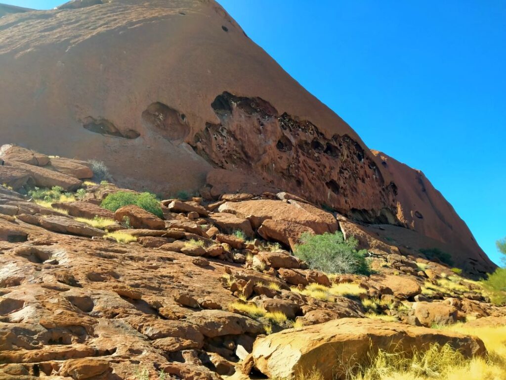
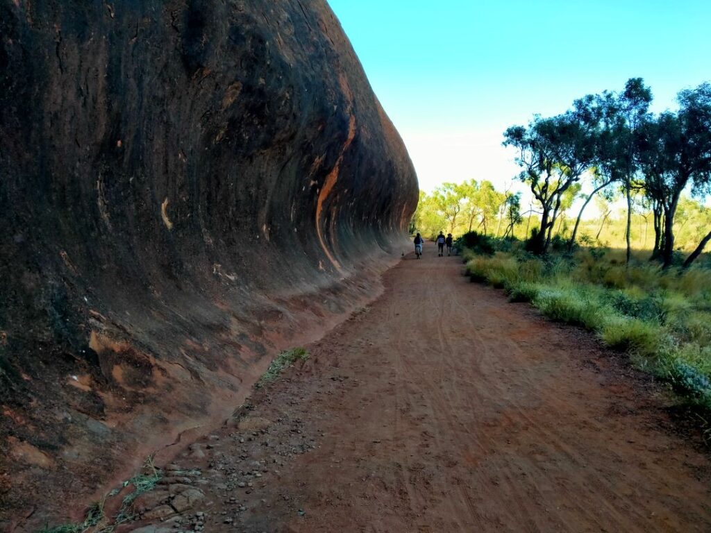
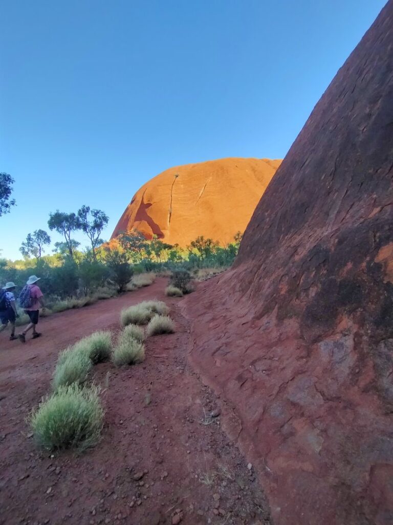
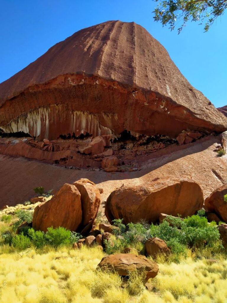
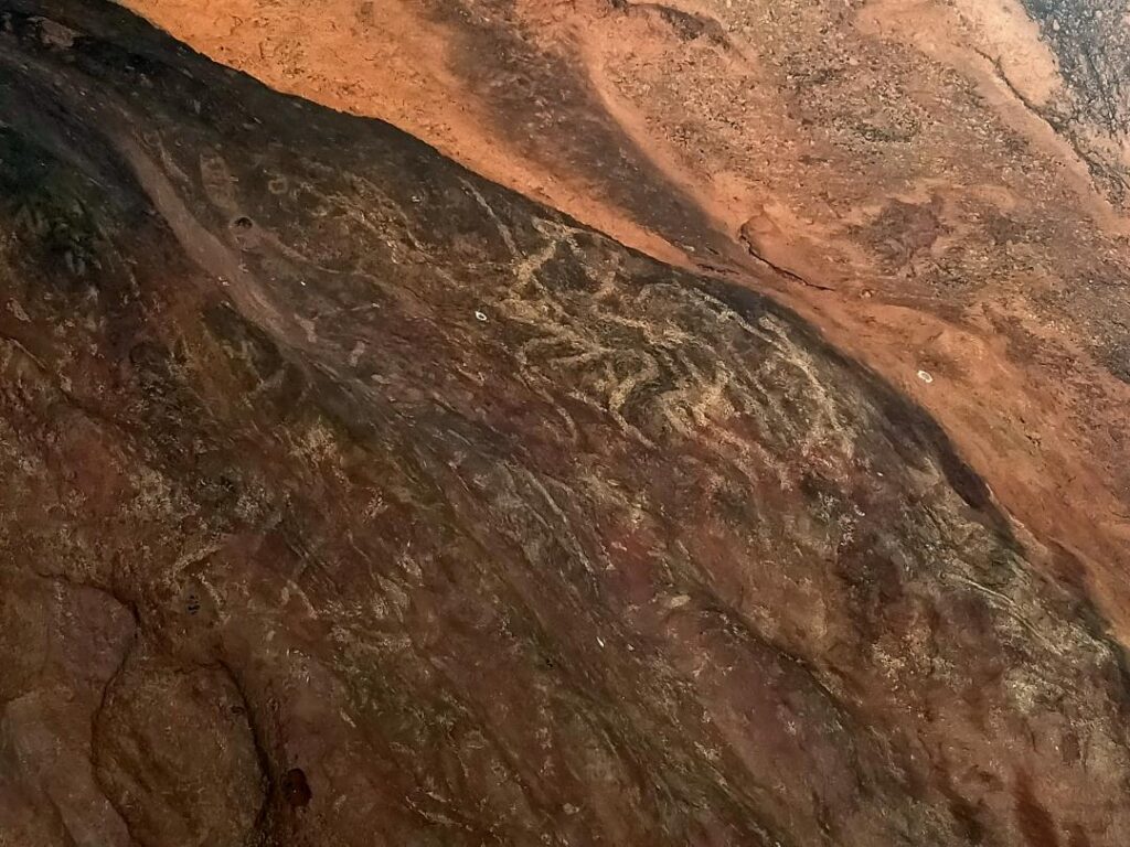
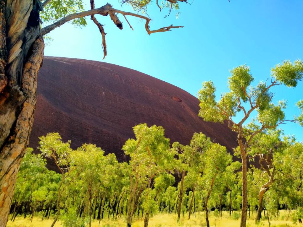
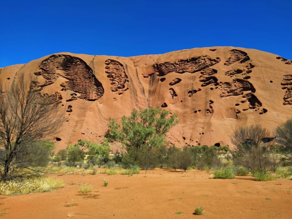
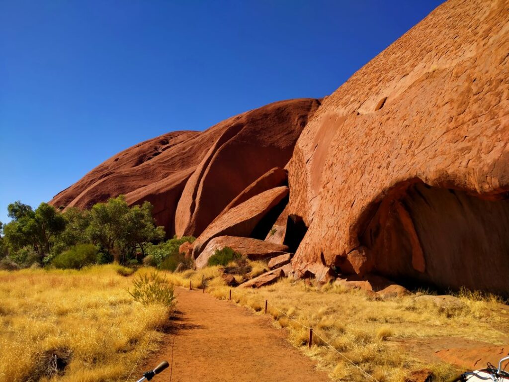
By the end of our ride we realised that we hadn’t done any cycling for a while, with Debbie in particular saying the exercise was very good for her legs! We also met some very wise people wearing fly nets over their heads. This was a must buy later today as the flies were now reaching unbearable status. Although it was a pretty hot day it was still cool when you rode into the shadow of the rock and we did make sure we drank plenty of water along the way. It took the full 3 hours to do the whole journey and we arrived back at the Cultural Centre with barely 5 minutes to spare. There was a toilet about halfway around the trail ,but it was probably 200 m from the trail itself, which was fine for us on bikes, but was a bit of extra walking for those on their feet. We had a browse around the Centre but headed back to town for some fly nets and groceries before returning to the sunset carpark viewing area. For all the drawbacks of our campervan it really came into its own for sunset viewing. Here’s a gallery of sunset shots and antics.
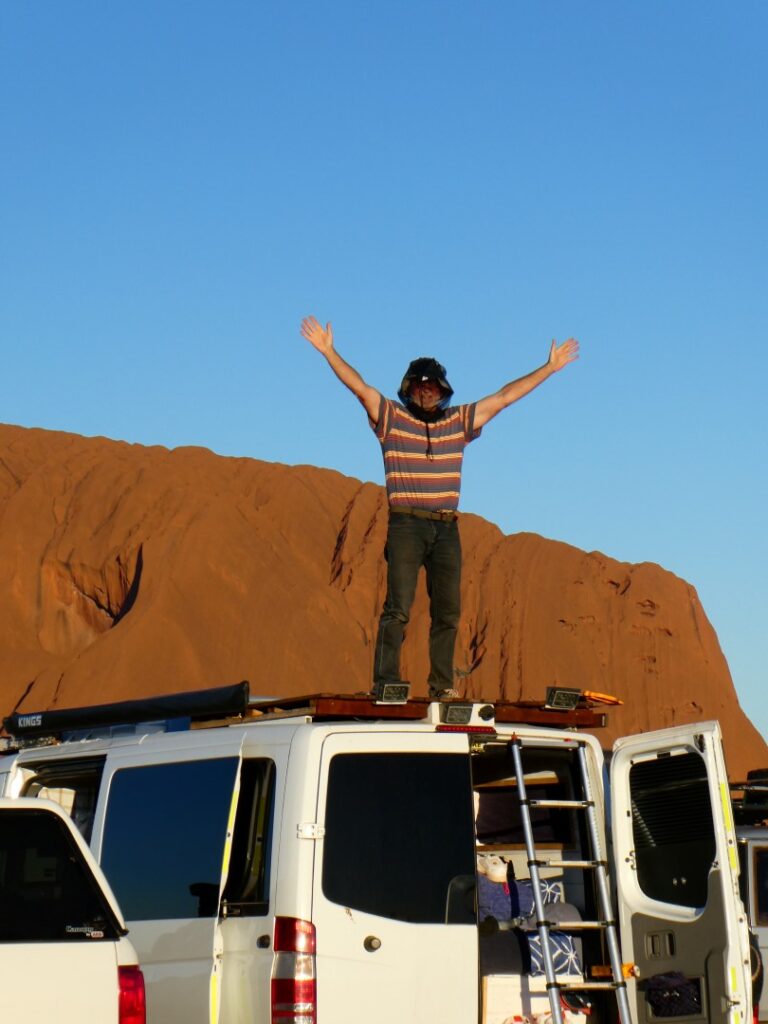
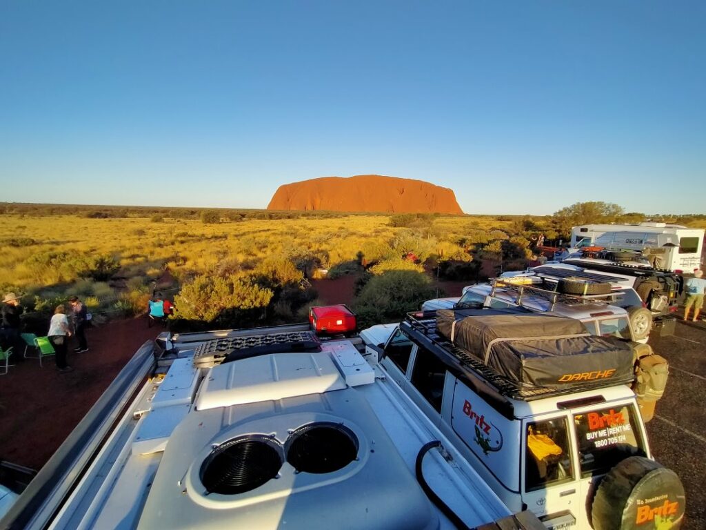
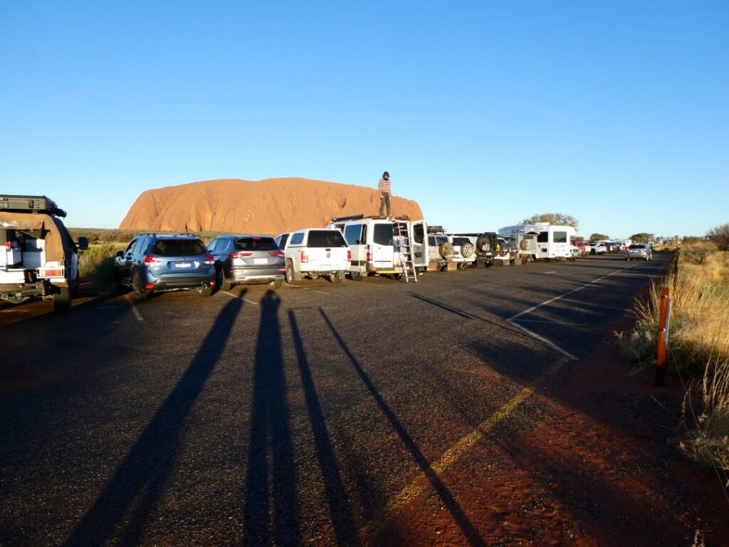
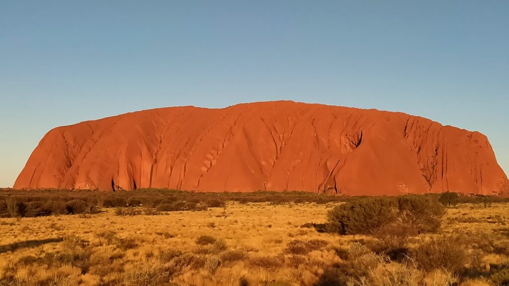
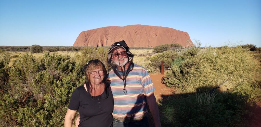
On the 11/05/22 we were heading for Kata Tjuta, but first we returned to Uluru for the free morning guided tour, which starts at the carpark. In the end we didn’t stay for the whole tour as there was quite a crowd and we had seen a lot the day before. We learnt a few interesting facts but headed off on the 55km Uluru to Kata Tjuta journey to maximise our time over there. We stopped first at the Kata Tjuta lookout, which is still some distance from the actual mountains, but gave us an initial look. It is a large elevated metal viewing platform about 100 m walk from the carpark. The temperature was rising and the lookout was fly infested so we didn’t linger here. Fly mania would be the trend for the day, with the fly nets being an absolute saviour.
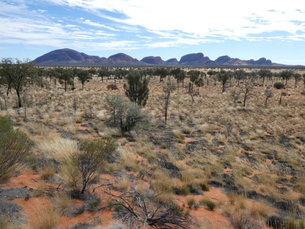
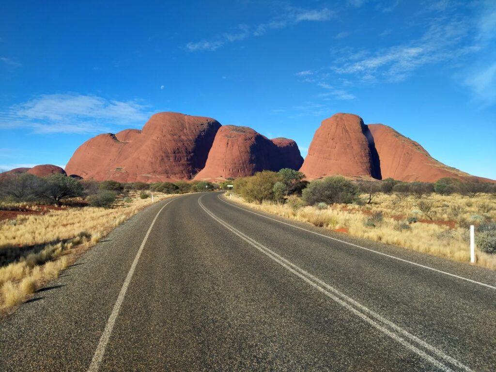
At Kata Tjuta the main walks are the Walpa Gorge and the ‘Valley of the Winds’. Walpa Gorge is described as Grade 3 – Moderate with a return time of one hour, whilst the ‘Valley of the Winds’ has sections that are rated as Grade 4 – Difficult, with the full loop walk taking up to 4 hours. The highest dome in this range rises to 546 m above ground level, well above Uluru.
The walk through the Walpa Gorge was impressive, with the rock faces rising steeply and majestically above you, dwarfing visitors. The walk is mainly on rock so good walking shoes are essential. The conglomerate rock has lots of embedded rock extrusions. In the sunshine the flies are incessant, but they do not seem to like the shade. At one point there was a very small natural spring attracting literally hundreds of finches. These birds need regular supplies of water and there is not a lot to be found out in this dry landscape. The spring happened to be right on the walking trail so the birds would gather when there was nobody near and then take flight en masse as somebody approached. The noise of hundreds of beating wings was amazing and this repeated itself continuously as visitors came and went. We walked right up to the lookout near the end of the gorge and here some conservation workers were constructing a pathway out of stone. Despite the enormous amount of rock around us these particular stones were being flown in by helicopter, with the workers toiling away with hand tools to place them carefully in the sapping heat. We sat at the lookout munching on muesli bars and fruit, whilst chatting to these dedicated souls, who were taking a lunch break. The return walk up the gorge is 2.6 km according to the signage, but we spent quite a lot of time here as Debbie was fascinated with the finches and shot numerous photos and some video of these cute little birds. Photography was particularly difficult as these birds are rarely still.
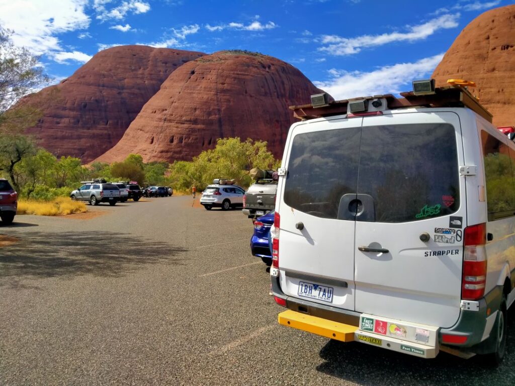
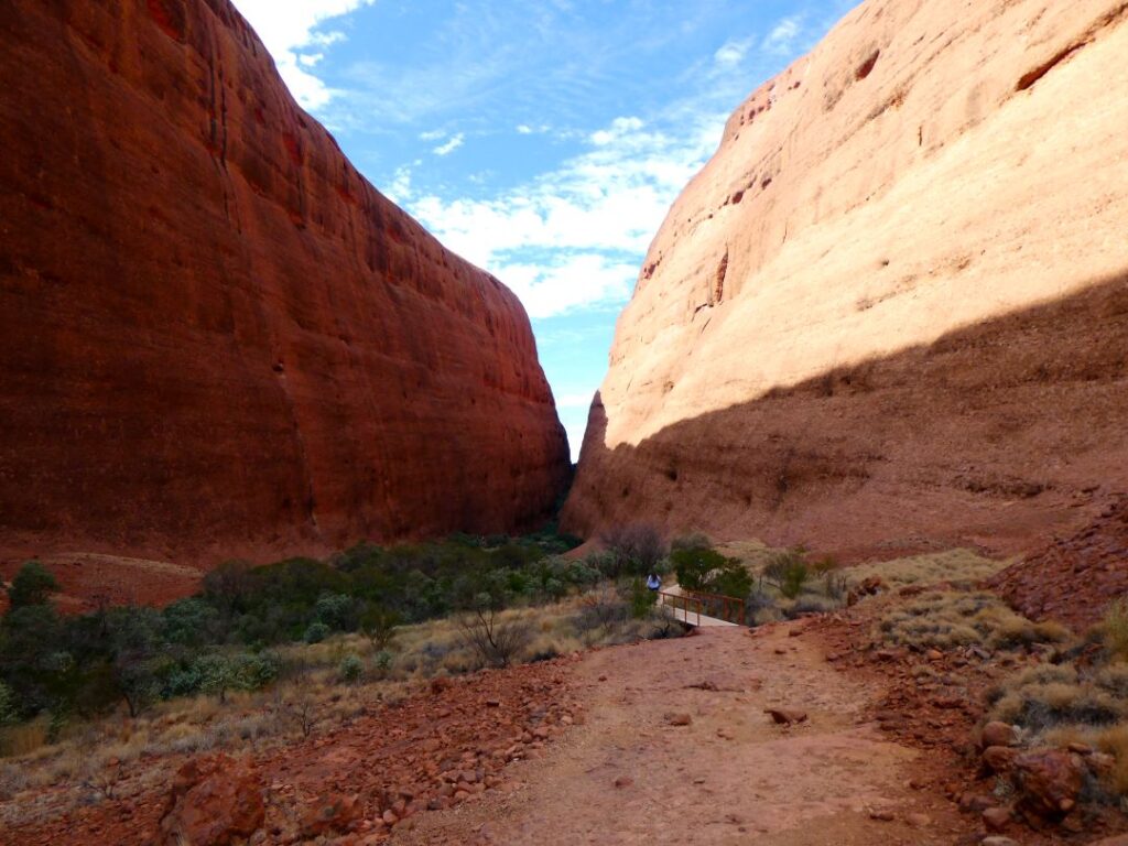

We made our way to the ‘Valley of the Winds’ walk, with the heat increasing all the time. This walk was more challenging, even though the first section to Karu (the first lookout) is rated moderate. On the way to the first lookout we encountered more conservation workers, this time building stone walls. I’m sure these walls will have a purpose here in the long-term but it did seem a little like a “Coals to Newcastle” exercise. Whilst we walked a small distance downhill from the first lookout we decided that we wouldn’t tackle the whole walk, satisfying ourselves with the one hour return walk (2.2 km) and headed back to the campervan. Always leave something for a return visit they say! In the photos below are included the only signs of wildlife that we saw, despite signage all around this area regarding looking out for many forms of indigenous creatures.
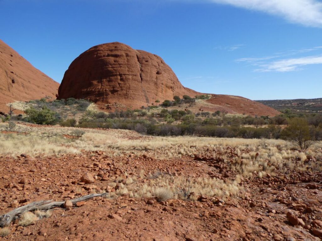
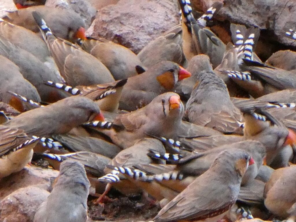
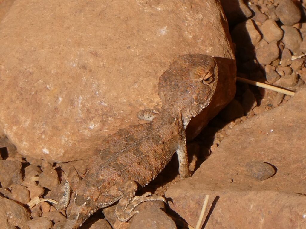
So there endeth our time amongst the great rocks of Australia. There is a very strong spiritual connection between the Anangu (local aboriginal people) and Uluru/Kata Tjuta, both of which exhibit physical evidence of the creation period to these people. The Anangu believe they are direct descendants of these creative beings and as such are responsible for the protection and management of these ancestral lands. We only spent a small amount of time in the Cultural Centre, but there is much to study and understand about this area and its spiritual significance. There was a lot of information about the flora and fauna (for example there are 70 different types of reptiles that live in this National Park, but we only saw the one fledgling as shown in the photo above!) in and around the Cultural Centre, together with the arrival of Europeans and the development of tourism here. It was a little surprising that on our guide’s prelude to the free Uluru tour he touched on the indigenous people’s spiritual understanding of the creation as evidenced by the features here, seemingly drawing a parallel with children’s fairytales. Once again this is a matter of beliefs laid against a comparative continually unravelling understanding of science and geology. We enjoyed the landscape and its features and never fail to marvel at the forces of nature and its products. So it was our last night here. The heat is very dry and our skin, nose and lips dry out constantly, with regular fluid uptake essential. Whilst toilets are available at the tourist centres they are not located at every car park.
Our last dinner here was pretty makeshift with sausages, leftover cold pasta, tabbouleh and sprouts. Unfortunately our fridge was still very inconsistent and the tabbouleh and sprouts had previously frozen, so it was a bit like eating damp composted greens! Very organic though I am sure. We said goodbye to Michelle and Ammo as they were heading for Kings Canyon, a highly recommended tourist destination, but with a dubious road to Alice Springs and we simply didn’t have time to fit in the longer sealed route on our journey. We topped up with fuel before leaving Yulara, the diesel price being A$2.65/L.
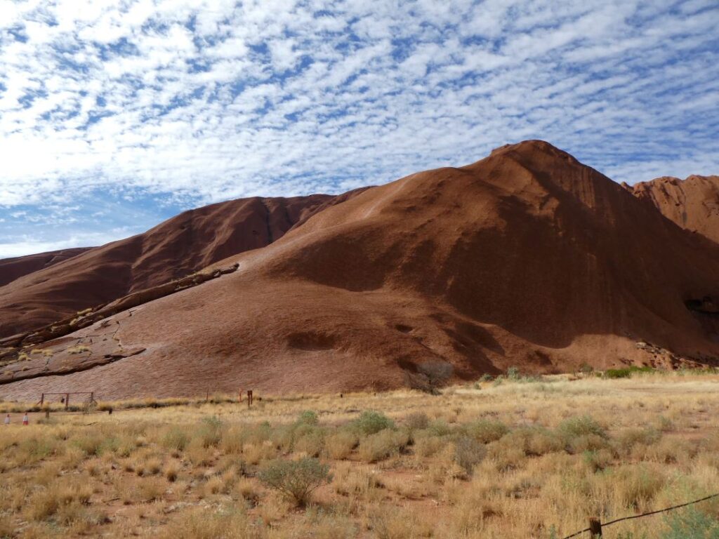
ALICE SPRINGS (12/05/22)
We pulled out of Yulara and 9 a.m. with a 445 km drive through to Alice Springs. The nights continued to be very cold, with the days cloudless and hot. We did a continuous drive through to Erldunda at the intersection of the highways, where we stopped for a pee, coffee (for Debs) and a change of driver. We then continued north on the Stuart Highway covering new territory and made a second stop at ‘Stuart’s Well’, a very picturesque service station, roadhouse, campground, camel farm and small wildlife reserve. We had lunch here just outside the wildlife area, as Debbie whipped up some salmon and cream cheese to put on our crackers. There were a few emu strutting around a waterhole whilst a couple of eagles hung out above on the branches of a tree. There’s some interesting info on the area and history on the signs here along with some pieces of memorabilia. Here’s a few photos of Stuart’s Well.
We gassed up at Stuart’s Well where the diesel price was A$2.38/L. The facilities here seemed quite nice and it would be a fair spot for a layover, but we had booked ahead at Alice Springs so continued on, arriving Alice Springs around 2:30 p.m. We were staying at the ‘G’day Mate’ Campground, A$42 per night for a powered site. This campground is approximately 6 km south of the main city centre. We settled into our campsite beneath the gum trees, pulling out the camp table and chairs for a relaxing afternoon after the long drive. Unfortunately and for some unknown reason my head went into a spin and over the next several hours and unexplained bout of vertigo overtook me. Somehow despite this we did manage to enjoy our dinner at the Alice Springs Brewery, which is located right next door to the campground. The ‘everything’ burger even included beetroot, so I almost felt like I was back home and the evening temperature was a bit more balmy.
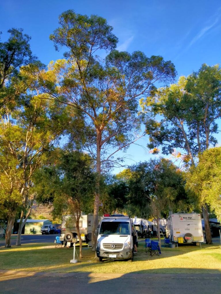
13/05/22
Our second day in Alice Springs was about trying to sort out my vertigo problem. Without going into all the details I managed to get an appointment at the Mall Medical Centre (although it is not located in the mall anymore), which was the third Medical Centre I had tried for an urgent appointment. We had been advised that Alice Springs had a reputation for crime and that if we visit the city centre we should vacate by early afternoon. This advice came from a couple we had met in Naracoorte, who after 20 odd years had sold up their table grape farm and were leaving Alice Springs for good. This was further reinforced by an article that appeared on my newsfeed from the Alice Springs mayor, reporting on the weekend’s crime events and stating that residents are now fearing for their safety on a regular basis. Unfortunately my medical appointment was not until 1:45 p.m., so we would need to take our chances. With my world spinning about me I wasn’t much help as Debbie took the opportunity to do a load of washing, as we decided chores were probably about as much as we would manage today. Our camp took security pretty seriously as well with the main gate closing at 7 p.m. and card swipe access only for entry after that time. They had also taken precautions around the perimeter in terms of precluding undesirables from scaling the fences.
We headed into the city centre through ‘the Gap’, a break in the MacDonnell Ranges where the Stuart Highway passes through. We visited the supermarket and all the main brands are represented here so there is plenty of choice. We arrived at the Medical Centre on time but had to wait nearly an hour to be seen. The doctor was very apologetic and friendly and she said that there is really only two reasons for vertigo, middle ear infection or brain issues! She checked my ears and they were fine (unfortunately?!), so she gave me some basic cognitive tests, which seemed to say my brain was ok too. She gave me a prescription for anti-nausea pills (not that I felt nauseous surprisingly) and a A$125 bill and sent me on my way.
We had to wander over to the Pharmacy in the town centre and we noticed there was a significant presence of Aboriginals loitering about. We noticed also that the woman serving in the Pharmacy was very abrupt with an aboriginal customer, who seemed to have genuine need for some product which she purchased. This reinforced many statements we had heard from Australians along our journey indicating a strong undercurrent on both sides of the racial fence in relation to the indigenous peoples, who once roamed freely throughout the entire Australian continent. History speaks poorly of their treatment, but from our limited observations there does seem to be a lack of sympathy among the populace, not dissimilar to our own country. There always seems to be groups lost in the space between the ways of the indigenous forefathers and modern colonialism, not surprising given the enormous gap between the two and the manner in which colonialism was inflicted upon them. People spoke to us of aboriginals still living in the manner of the past, although it is hard to imagine in this modern world that they are still wandering around the outback with spears and hunting down wild beasts. As usual in the middle sits a government propping up many of these indigenous communities to the disdain of many Australians. A melting pot of intolerance that manifests in crime and violence.
We left the city centre unscathed and returned to the camp, with no real diagnosis on the vertigo issue. However I noticed it had started to ease and as the day wore on and concluded I was feeling a lot better. We spent the late afternoon just relaxing at the camp with both of us catching up on some time on the computer and we were joined by a very confident and hungry local to share in the afternoon nibbles. Dinner was pork cutlets and hashbrowns cooked on the camp barbecue, with lots of good ‘salady’ stuff that Debbie had prepared.
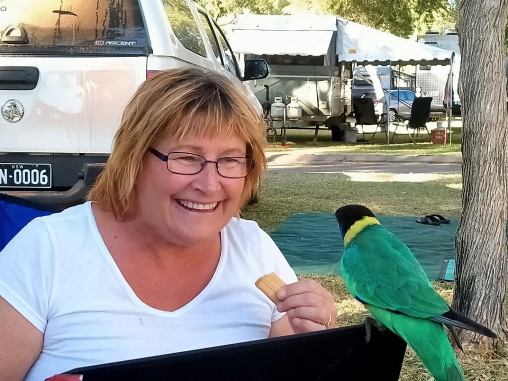
14/05/22
The unprecedented bout of vertigo had largely vanished by the morning, so we headed back into town to the Reptile Centre. This is where you go to see the things that you thought you might see in the wild, but were really glad that you didn’t. Perfect place to get some wildlife photos so Debs was in her element with some great shots. We attended the reptile presentation where we had the opportunity to hold two lizards and get wrapped up by a Python. Debs did very well to stroke the Python and I was just glad that they weren’t doing hold the spider day! I got a sense of what it was like to have a python tightening around your neck – this was controlled but still unnerving. Lizards and snakes I can cope with in a controlled environment, but spiders I don’t do in any situation.
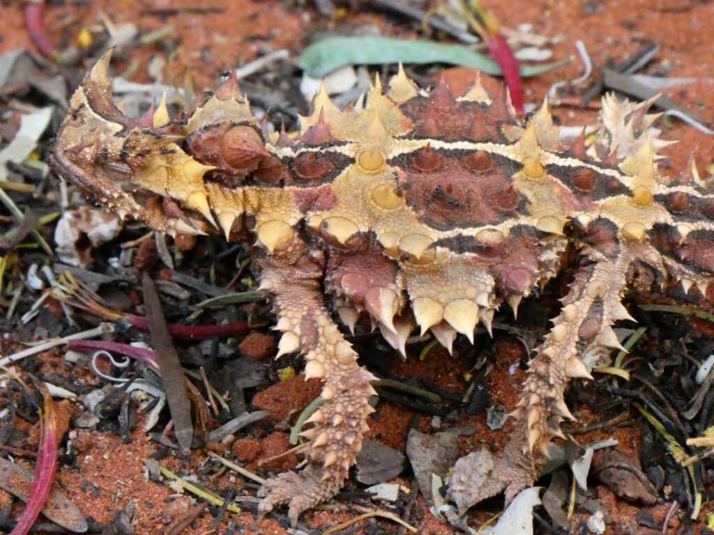
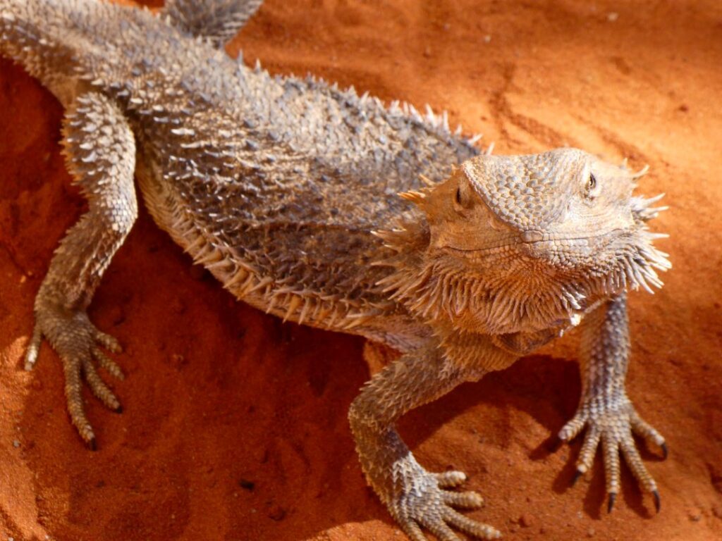
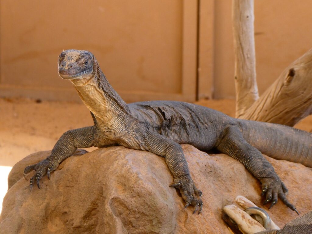
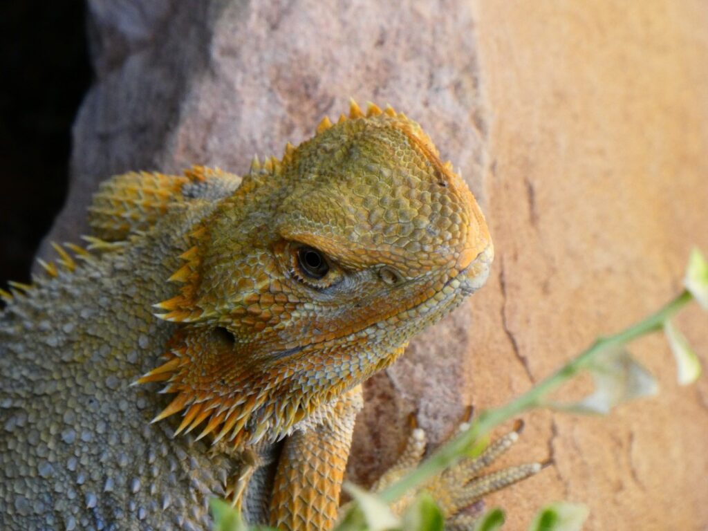
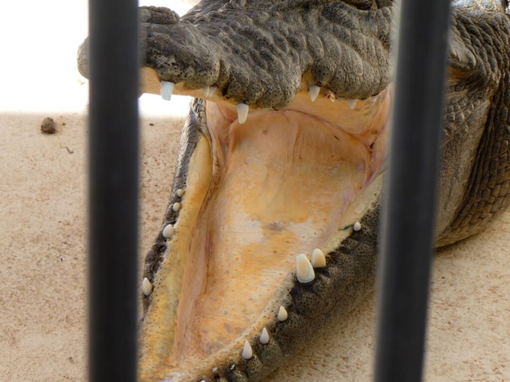
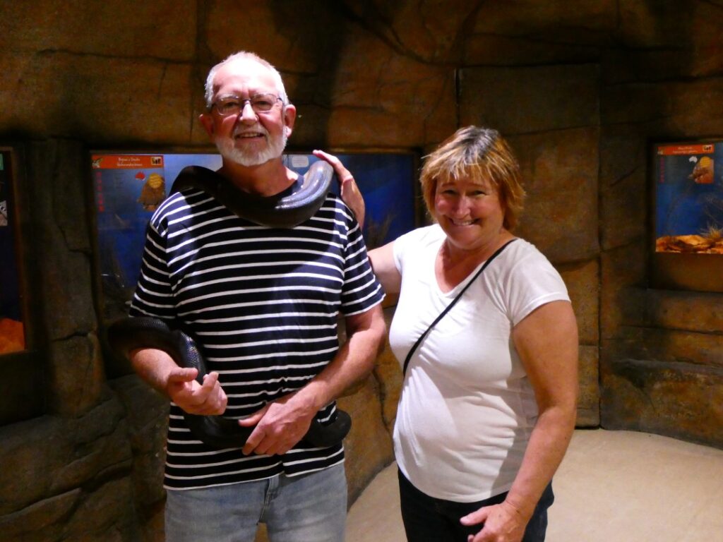
We then headed out to the West MacDonnell ranges and Simpsons Gap, a small feature the in the West MacDonnell National Park (Tjoritja). We stopped at the Ranger Station/Information Centre for a sandwich and to read some background information on the area. Reading the literature it appears this was once Simsons Gap, but no one seems to know why the name was changed or who in fact Simson (or Simpson) was. The geology here is complex with many differing rock types including granite, limestone, sandstone and siltstone, but it is most famous for the red quartzite peaks. The quartzite was formed from compression of a deep layer of quartz sand coated in iron oxide dust.
By sheer coincidence there was a film crew on site at Simpsons Gap, filming an ABC (Australian Broadcasting Corporation) special commemorating 90 years of their operation, which would also act as an Australian tourism promotional documentary. There was a large choir present, featuring both Australians and indigenous members, singing a song (perhaps ironically given my comments above) highlighting Australian cultural unity. It will be interesting to see the response when the documentary is finally released! Still, from our point of view it added an amazing audio ambience to what once again is a beautiful natural scenic spot amongst a background of dramatic geology. There was no way to get through the gap unless you wanted to get wet, as you will see from the following photos. Certainly with the temperature hovering over 30° it was a temptation and certainly one gentleman visitor took the plunge.
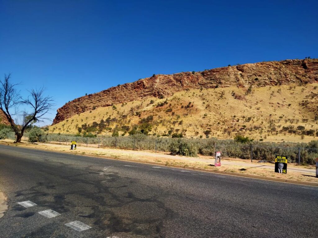
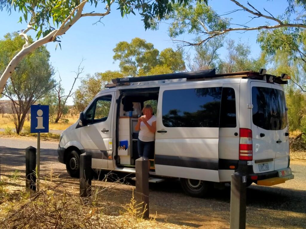
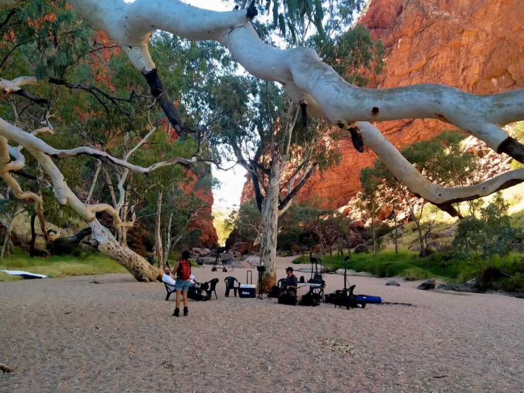
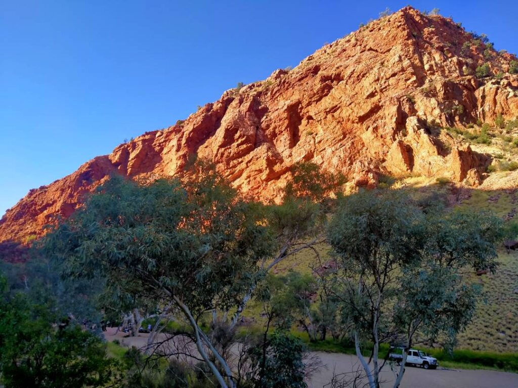
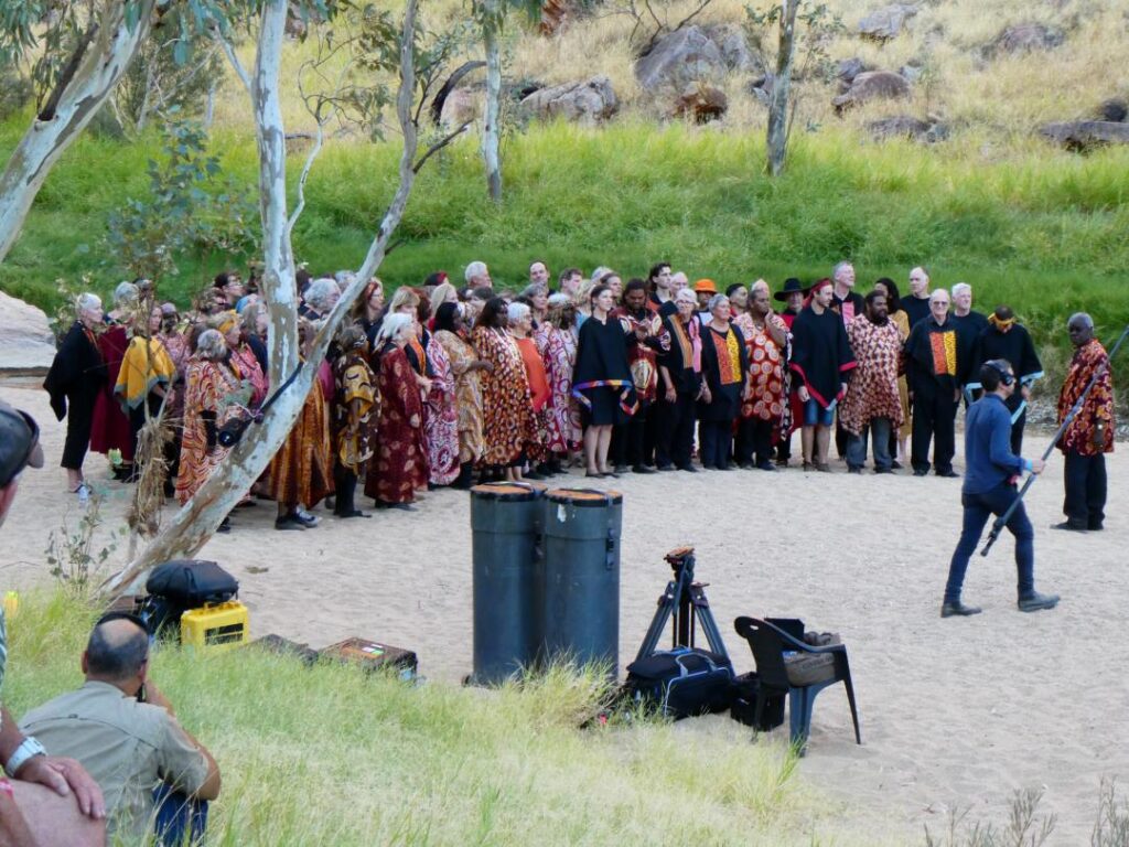
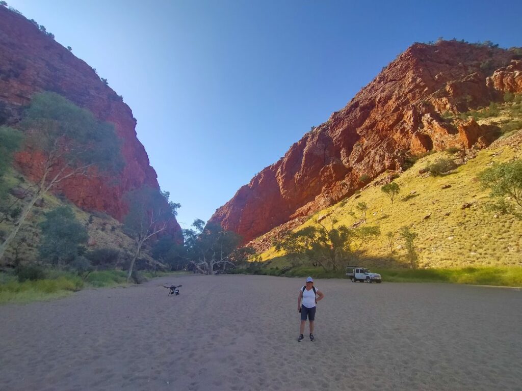
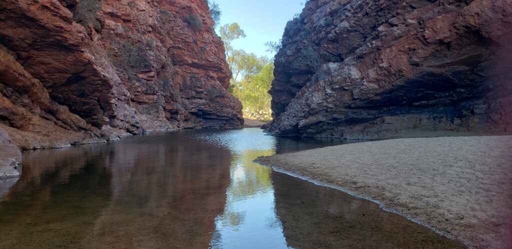
We returned to the camping ground for our final night there. Because of my vertigo incident on the first day we decided that we would book an extra night, as we hadn’t been able to do any sightseeing until I’d recovered. Upon our return to the camp and our allotted campsite we found that it was now occupied by a caravan and that the table and chairs we had left there had vanished! After some discussion with the camp manager she admitted that she thought we had departed as we hadn’t paid for our additional night’s booking. We reminded her that we had in fact paid and had left our table and chairs on our site also for our return. She was extremely apologetic and insisted that we spend the night in one of their cabins complete with an adjacent ‘ensuite’ even though we said another site would be acceptable to us. She also immediately had our table and chairs returned to us, which had been stored in their shed. We accepted her kind offer as a more than reasonable solution to the misunderstanding.
Our travelling friends Michelle and Ammo reunited with us for dinner next door at the brewery, as they had arrived earlier in the day and was staying at the campground immediately opposite us. Alice Springs was as far north as we were travelling so this was a goodbye dinner to them as they, like many others we had met along the way, were heading north into the ‘tropics’ for the winter. It was certainly tempting to extend, but our flight booking back on 30/05/22 was calling and although we explored rescheduling the flight, it would be an expensive exercise. It was time to turn and head south again, initially repeating our route north but with new sights to see.
Before leaving town however we took a drive up to Anzac Hill, a commemorative site for Australian and New Zealand servicemen who had fought in the various military campaigns over the years. From the elevated position of this memorial hill it shows clearly how the Alice Springs township sits in a basin surrounded by the Macdonald’s Ranges. Whilst it’s not a large community it is obviously always been a pivotal point in the long and arduous route through the barren centre of Australia. These days it houses all the necessities of modern community living and we called in at one of the supermarkets to pick up supplies less available in the smaller towns further south. The photos below are a series of views from Anzac Hill and the memorial itself.
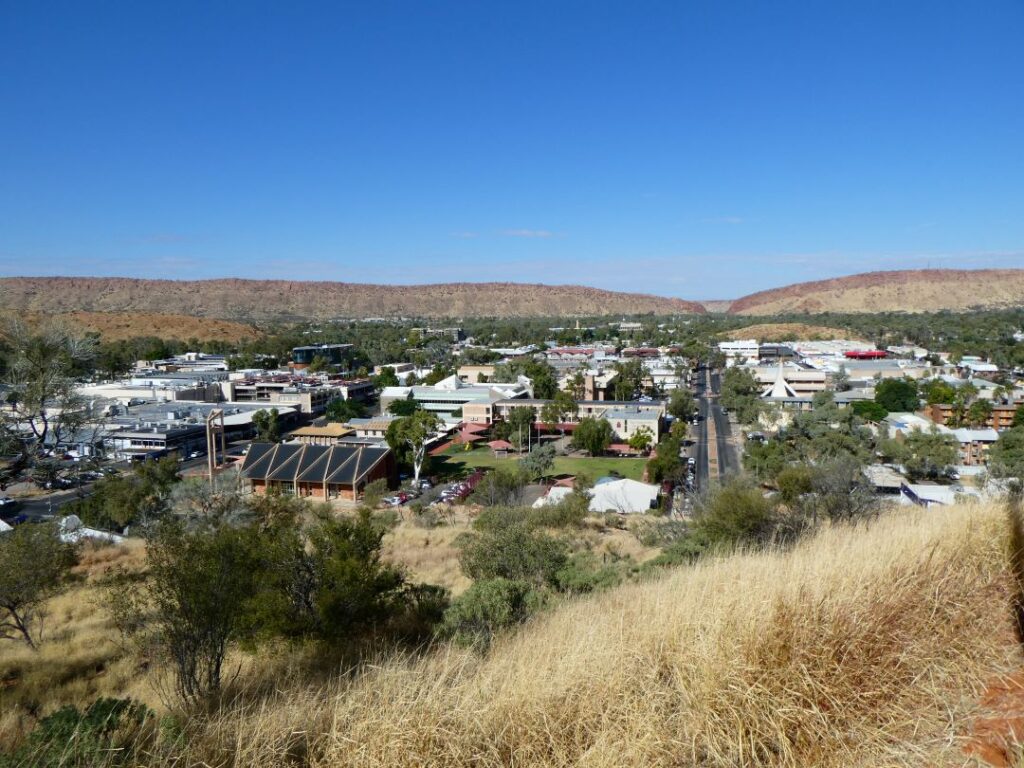
KULGERA (15/05/22)
We left Alice Springs at 11 a.m. with a 409 km drive to Kulgera being today’s target. Our first stop was at Stuart’s Well to use the toilet, but this was locked and the key only available to customers, so Debbie was uncomplainingly forced into a coffee. Lunch was at our next stop, Erldunda, where we stayed on the route north and were passing for the third time. Given the mileage we had to cover it was a quick ham roll and muffins from our own ‘pantry’ in the campervan today. With the speed limit being 130 km/h, we were averaging around 100 km/h so despite the long distance the countryside was passing quickly. The drive was uneventful, punctuated by occasional trucks and caravans, with clear skies and temperatures in the mid-20s. You were never sure what might greet you on the other side of the road however, so despite the long straight roads of nothingness you still had to keep your concentration level high. We had pre-booked a site at Kulgera and there was a steady inflow of caravans and motorhomes after we arrived there, as travellers both heading north and south called it a day at this isolated roadhouse.
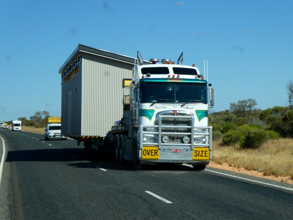
By nightfall there was a full lineup of caravans and motorhomes at the powered sites, which are in a large open yard to the south of the Roadhouse/pub. Temperatures were still hanging in the mid-20s during the day, but below 10°C at night. There is water available at each site, but no greywater outlets, so this was being discharged onto the ground by some vehicles. This would certainly not be acceptable in New Zealand. It was a very reasonable cost of A$28.00 for the night with basic but adequate ablution facilities. Pub meals are available to accompany your salubrious beverages should you wish to partake and the ‘Hotel’ offers cabin accommodation. There is even a small swimming pool, not that anyone was making use of that during our brief visit. Immediately across the highway is the Kulgera airport, not that we saw any planes coming or going, just the lonely windsock hanging listlessly in the colourful sunset. Whilst there is not a lot here to occupy yourself it is an excellent stopover facility. On these “one night stop” evenings it would be computer catchup time as there was always some form of internet coverage, a basic pasta dinner and photos of the moon and sunset in the clear, cloudless skies.
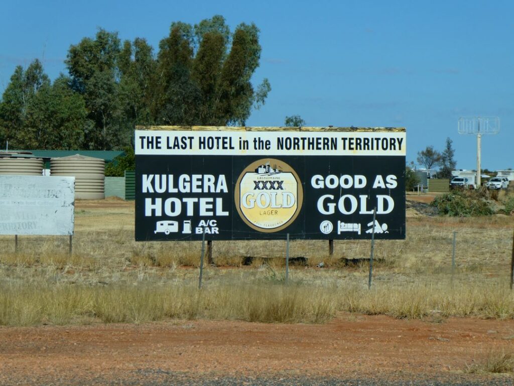
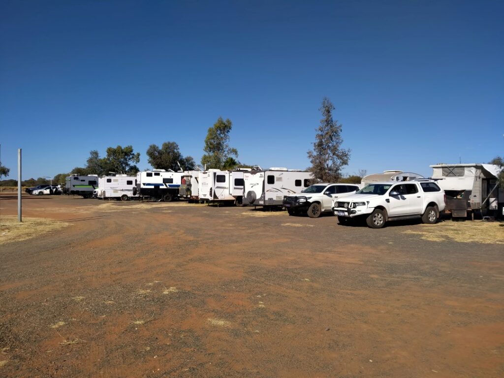
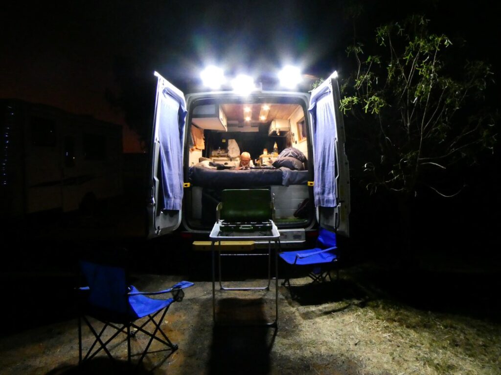
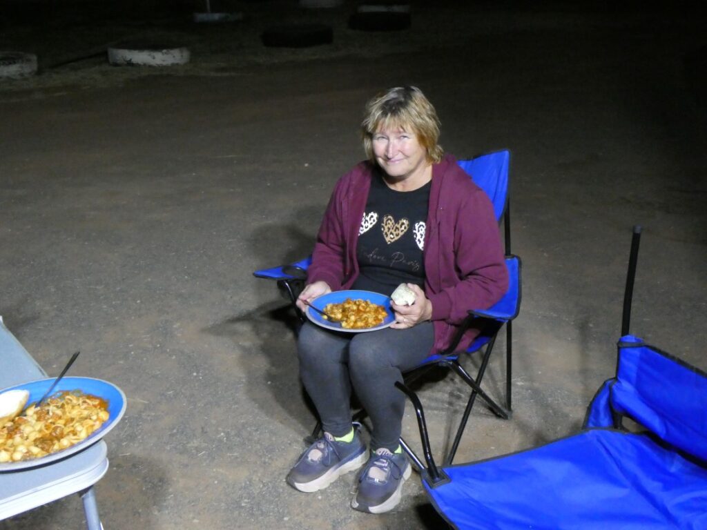
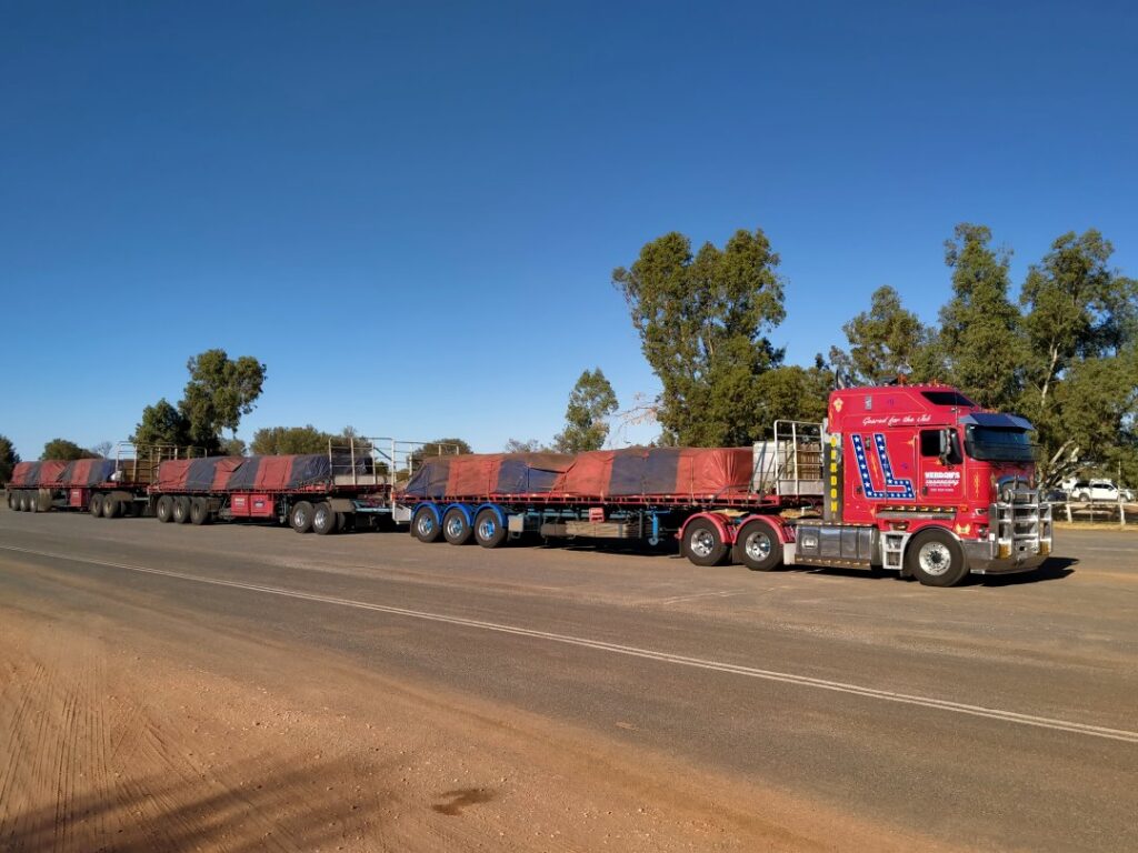
COOBER PEDY (16/05/22)
We left Kulgera (pronounced ‘Kulgra’) at 9 a.m. filling up the fuel tank here before we left. The diesel price here was A$2.69 per litre, much dearer than the A$2.19 we had paid just before we left Alice Springs. Today’s drive-through to Coober Pedy would be 410 km, almost identical to that of yesterday. Large sections of these roads are ideal for cruise control and at one point today we travelled 80 km continuously with the cruise control set at 110 km/h. You certainly couldn’t do that in New Zealand! We certainly did not mess around today and arrived at the ‘Big 4 Stuart Range’ campground at 1:15 p.m. It was A$42.00 per night here, the cost reflecting the greater tourist demand, but also the newness of this camp, which had high quality facilities.

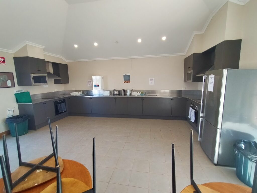
We had booked the Sunset Tour of ‘The Breakaways’ as a guest of Oasis Tours at a cost of A$55.00 per adult, which included a coffee or tea and a muffin at the sunset lookout. ‘The Breakaways’ are small sections of the Stuart Ranges separated from the main range, situated about 22 km north west of the Coober Pedy township. George was our host and he picked us up in his four-wheel-drive wagon from our campground (we were the only ones doing this tour from our campground) and ferried us across to the Oasis Tourist Camp. It turned out that George was the owner of this camp, our bus driver and tour commentator. We were joined by a group of others from the Oasis Camp for the tour.
The area in which ‘The Breakaways’ lie is a reserve and has been returned to the aboriginal peoples and is deemed sacred land. A permit is required to enter this land and traverse the road, which was unsealed once we reached the reserve, dusty and undulating in a few places. George had done this so many times before that his old bus did not seem to grumble about the state of the road. Once we left the township the landscape became extremely barren with only the hardiest of vegetation surviving. This area can go some years without water, although there had been some significant rainfall earlier this year causing dormant vegetation to spring into life. There was certainly no sign of habitation or active utilisation of the land here, with other signs of human life limited to another tour vehicle and a handful of individual tourists. The landscape and geology is dramatic though and from a couple of elevated viewing points strategically used by the tours the views are stunning. There were a number of ‘white man’ interpretations of the rock formations including the camel, the two dogs, the lion image and the old man. The aboriginal imagery was slightly less obvious and based on legend.
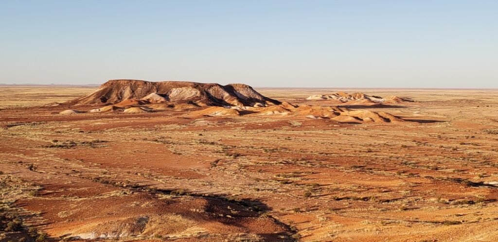
George took us through plant identification including the ‘final end’ tree laden with a number of Golden Orb spiders and talked about other wildlife, almost none of which we saw however. We were perhaps fortunate to see four wild kangaroos crossing the desert floor from our vantage point up on the ranges. We also stopped for a photo shoot at the famous ‘Dog Fence’. At 5531 km in length it is the longest fence in the world and is also called the Dingo Fence for its role in separating these wild dogs of the North from the pastoral lands of the South. Initially started by individual farmers trying to protect their sheep herds back in the late 1880’s, it was eventually joined to make this one continuous fence. Maintenance is an ongoing issue as the fence is still required to control marauding dingoes and protect the multimillion dollar industry. The original posts of this fence are still identifiable as they were of unmilled timber with the wire strands passing through them.
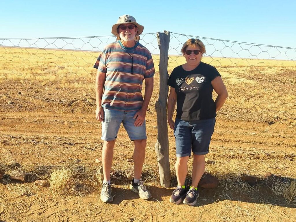
To top off the tour, apart from the delicious muffins, we were able to watch the sunset and moonrise from our elevated position on one of the ranges. We were extremely fortunate that we happened to be on this tour on the night of a full moon. It was amazing and timely to watch the sun slipping below the landscape in the West as the moon appeared above the horizon in the East. All in all it was an extremely worthwhile tour that lasted for around four hours, arriving back at the camp around 7:30 p.m. in the evening for a dinner of reheated pizza and pasta, in the large and well appointed camp kitchen.
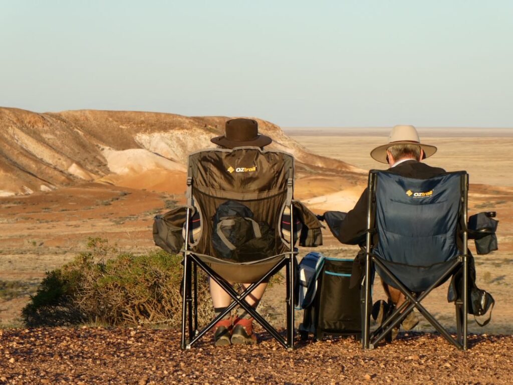
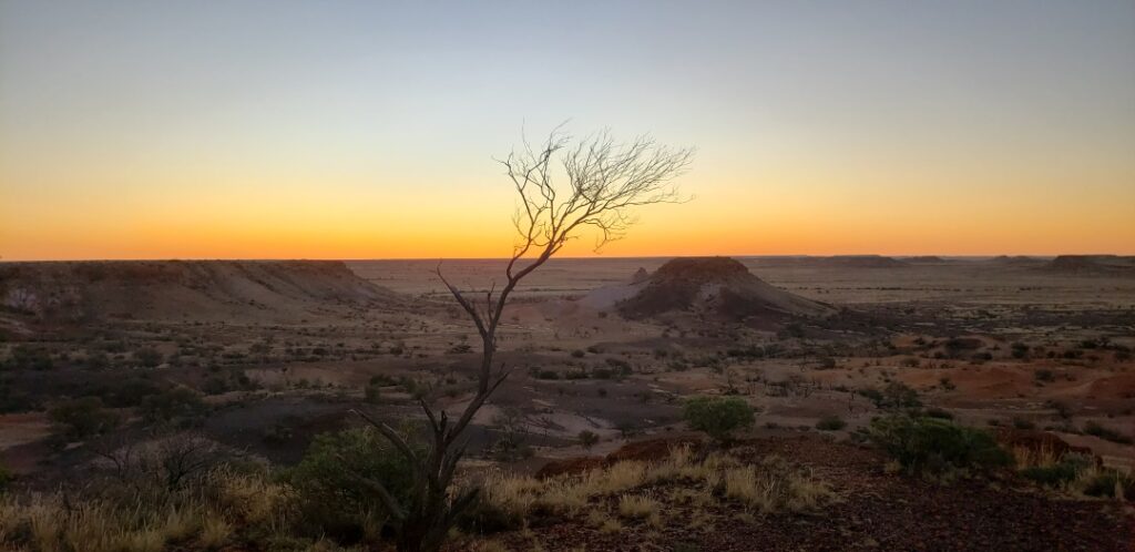
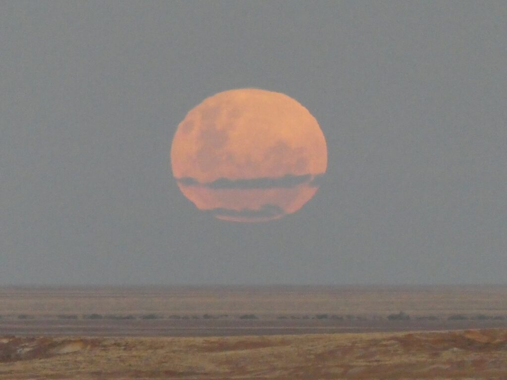
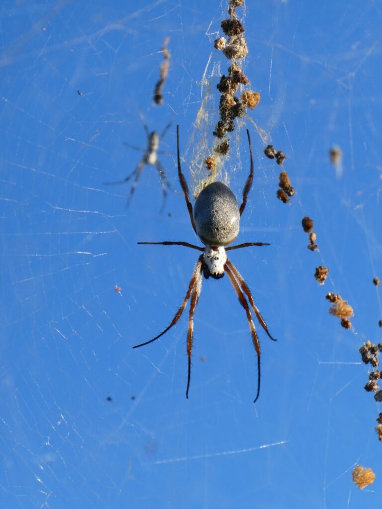
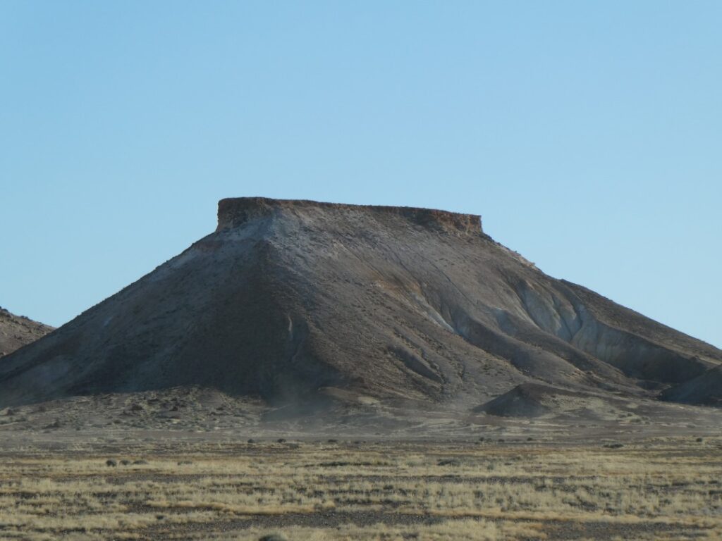
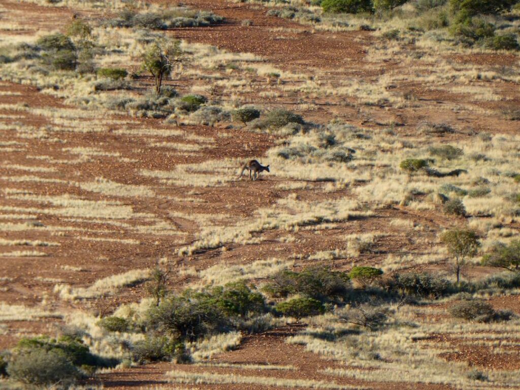
LAKE HART (17/05/22)
Because of the large travel distances each day we were needing to gas up on a daily basis at the moment. At Coober Pedy we paid A$2.26 per litre before we continued our journey south. We stopped at Glendambo for a pee and a coffee, a roadhouse that is clearly a favourite with truckies in this area. I think they must have suffered here from people driving off with the toilet key, but have solved the problem by using a novel keyring (see photo below). We intended to get to Pimba tonight, but had not made a forward booking. We only made forward bookings where we felt spaces might be limited and in this case the lack of forward booking was useful, as we only made it to the Lake Hart rest area before putting down roots for the night.
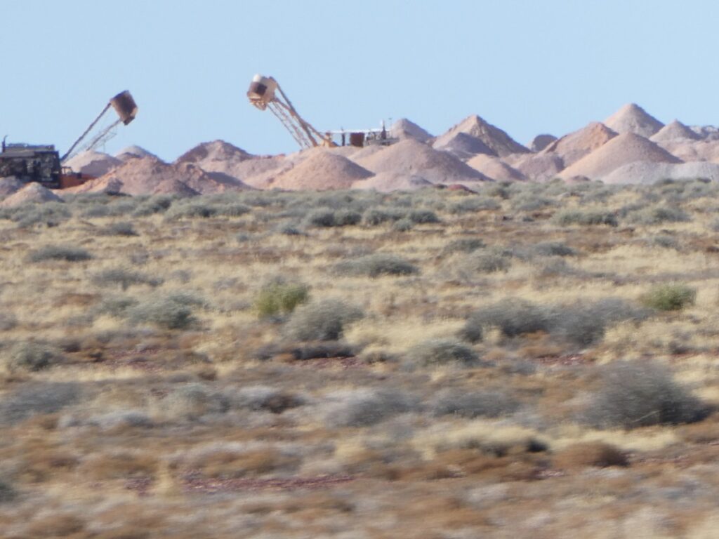
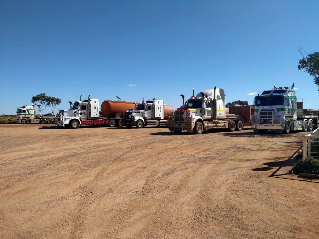
We only stopped at Lake Hart initially for some sightseeing and a further break, since we had driven 327 kms from Coober Pedy by then. However we met others who were staying overnight and we formed an impromptu group of common interest and would be regaled by interesting travel stories and insights from those within the group. After our ham and cheese roll lunch we took a walk down to the lake, which was via a concrete pipe acting as an underpass beneath the main trunk railway line. This is a salt lake and there was a huge solid salt mound just adjacent to the beach track, which made an ideal viewing and photographic platform, but don’t attempt climbing this in bare feet!
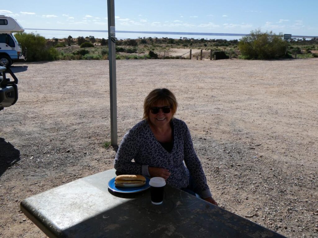
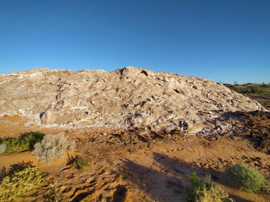
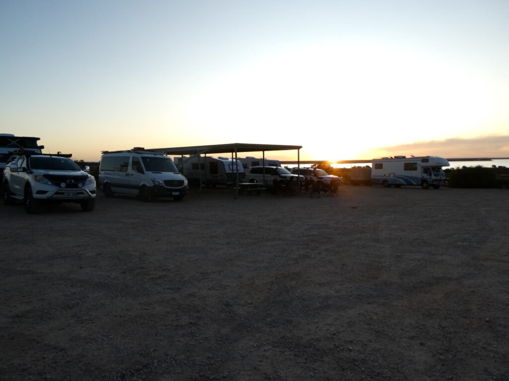
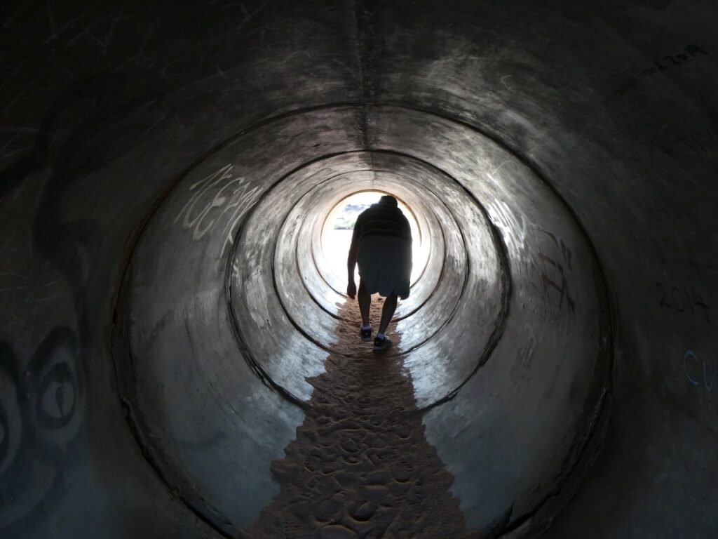
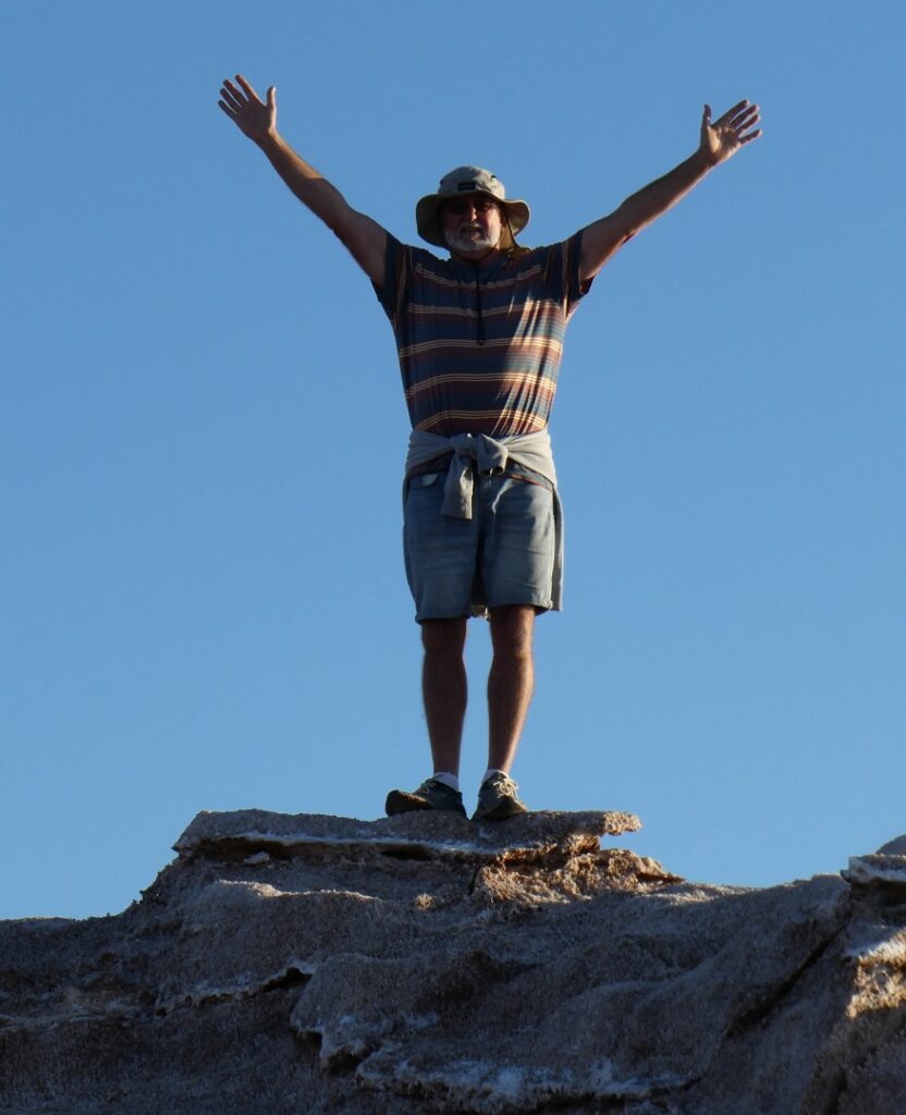

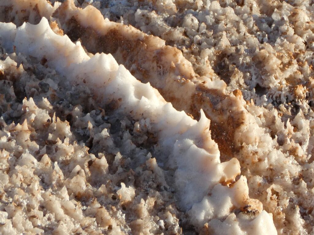
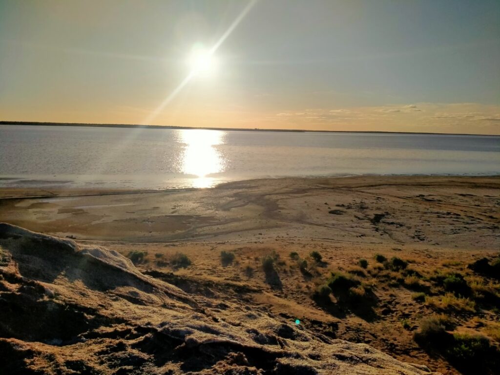
The caravanners comprised of an older couple, a middle-aged couple and a young couple. The older couple had travelled extensively throughout Australia and knew pretty much everything about everywhere, whilst the young couple were just starting out with a brand-new and extremely robust off-road caravan. They seemed a pretty adventurous type and he worked for a caravan company so was certain that the one they had can handle some serious corrugated roads. The middle-aged couple had sold up a rural supermarket and the husband, whom we secretly named ‘Crocodile Dundee’ was the quintessential rugged Aussie outdoor type. He reeled off stories of his travels in Australia and around the world, including fascinating stories of Zimbabwean tourism under Mugabe and wild animal safaris. The conversations drifted into the late afternoon, through dinner and well into the evening. Around 9 p.m. we all agreed it was getting very cold despite the puffer jackets and blankets so we said our goodbyes for the night. We never knew their names and likely never will, but it was fun to share stories and we managed to feed them some information about what was happening further north with campgrounds as they were all heading in that direction.
We were in a free camp area for the night so had to rely on the campervan’s inverter to support my CPAP machine. Surprisingly it did last until 6 a.m. when the battery finally ran flat. As we drove out the following morning we noticed a sign that we hadn’t seen on arrival, not that any of us ‘free camp rebels’ would have taken any notice anyway!
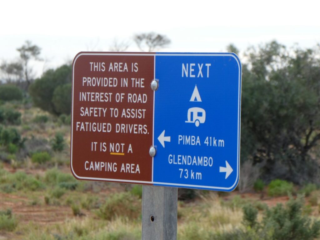
PETERBOROUGH (18/05/22)
Got a very early start this morning (for us anyway as it was 8.00 am!) since there were no facilities at this “free camp’, so it was no shower, no shave and a quick cereal and milk breakfast. On the initial part of the trip to Pimba we were stuck behind a truck for several kms, but eventually arrived there to gas up at Spud’s Roadhouse and use the toilet. There was no toilet at Lake Hart and we were limiting the use of the portaloo in the campervan to peeing only unless desperate! The diesel price at Pimba was A$2.31/litre. After Pimba the road consisted of long straights and there were few holdups. There was a lot of kangaroo road-kill on the road shoulders today and we spotted a herd of six wild emus and a few others periodically as we made our way south. We made good time, stopping at Port Augusta around 10.30 am for a diesel top up at a more economic A$2.10 per litre.
We had planned our route back via northern Victoria, following the Murray River for some distance before dropping south at Echuca, through Bendigo and back into Melbourne. We were currently still well within South Australian territory, leaving the A1 just south of Port Augusta to head eastward on the B56 toward the Victorian border. Our target for tonight was to reach the Caravan Park in Peterborough, a small town in ‘wheat’ country. We stopped en route at Orrorro to use the dump station and make a fleeting visit to a huge 500 year old Red River Gum tree that we saw advertised on the roadside.
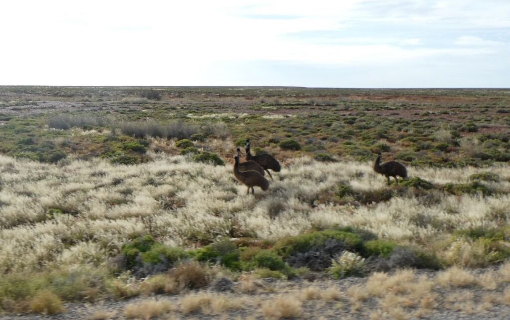
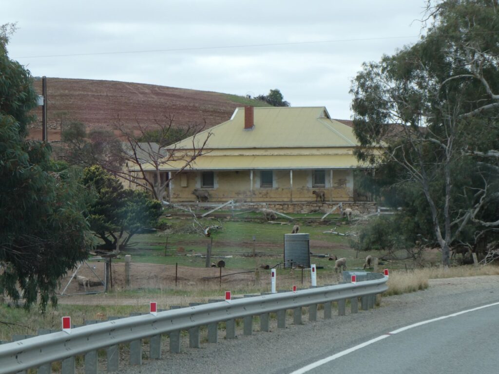
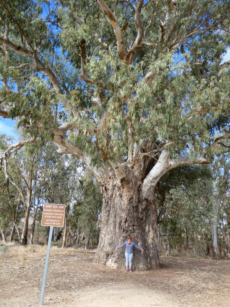
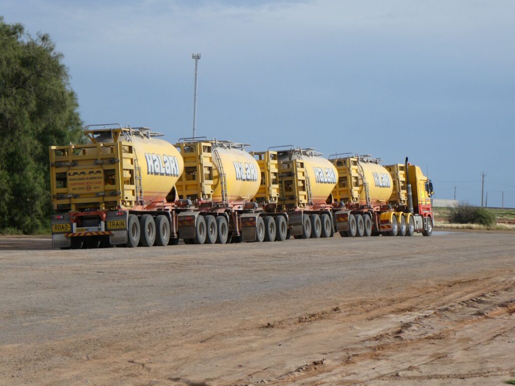
We arrived in Peterborough, an historic railway town, early afternoon after stopping briefly at Mount Remarkable National Park in the southern Flinders Ranges. This park covers 16,500 ha of native bush with numerous treks and camps for the avid hikers and dramatic scenery, so the introductory sign explained. This was not on our bucket list for this trip however and was merely a side foray for us as we passed through the southern Flinders ranges. We didn’t enter the park itself but took a couple of photos from the pre-entry car park.
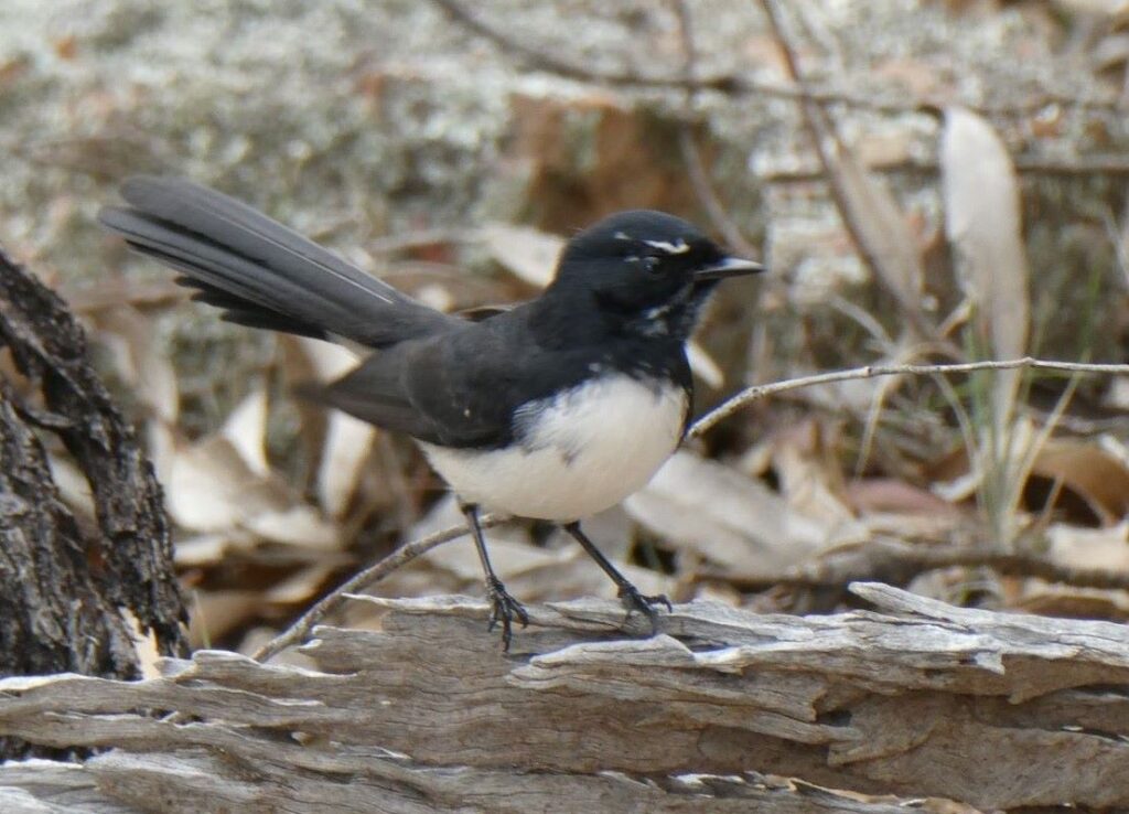
We stopped first in the Peterborough township for lunch at the most amazing café, it was once the town’s movie theatre. It was astronomically large for a small town café, with the tables and chairs spread around liberally in the area that would once have been theatre patron seating. A large area at the front of the ‘theatre’ was occupied by a selection of movie and miscellaneous memorabilia, with much to reminisce over while we lunched on our pasties and hot drinks. After dining we spent some time perusing this ‘Hollywood Museum’ and took a number of photos.
We booked into the only campground in town (A$35.00 per night for a powered site), which was healthily populated with fellow travellers. The facilities here were excellent and our site gave us views out across the plains (which included a couple of grazing wild kangaroos) to the ranges beyond. The sky was partly cloudy, but there was a cold wind blowing from the southern ocean and daytime temperatures were dropping now that we were heading further south. We walked back into Main Street past Victoria Park and the fountain, through the residential streets and the underpass beneath the railway lines. Like many smaller towns this one was once a busy centre handling up to 100 steam trains per day, being a junction point for both East – West and North – South main trunk railway flows. This operation employed up to 1000 workers. By the late 1980s however both routes had changed and Peterborough was bypassed, leaving only a tourist steam train connection which ceased in 2002. Today the restored Roundhouse offers tours during the day and a night light show “which is home to Australia’s most unique and fascinating Heritage Rail Museum”. We didn’t visit the centre ourselves, but reading reviews this place is definitely worth a visit. Google ‘Steamtown Heritage Rail Centre’ for the web site.
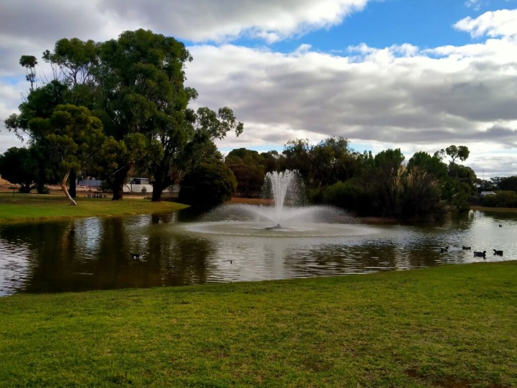
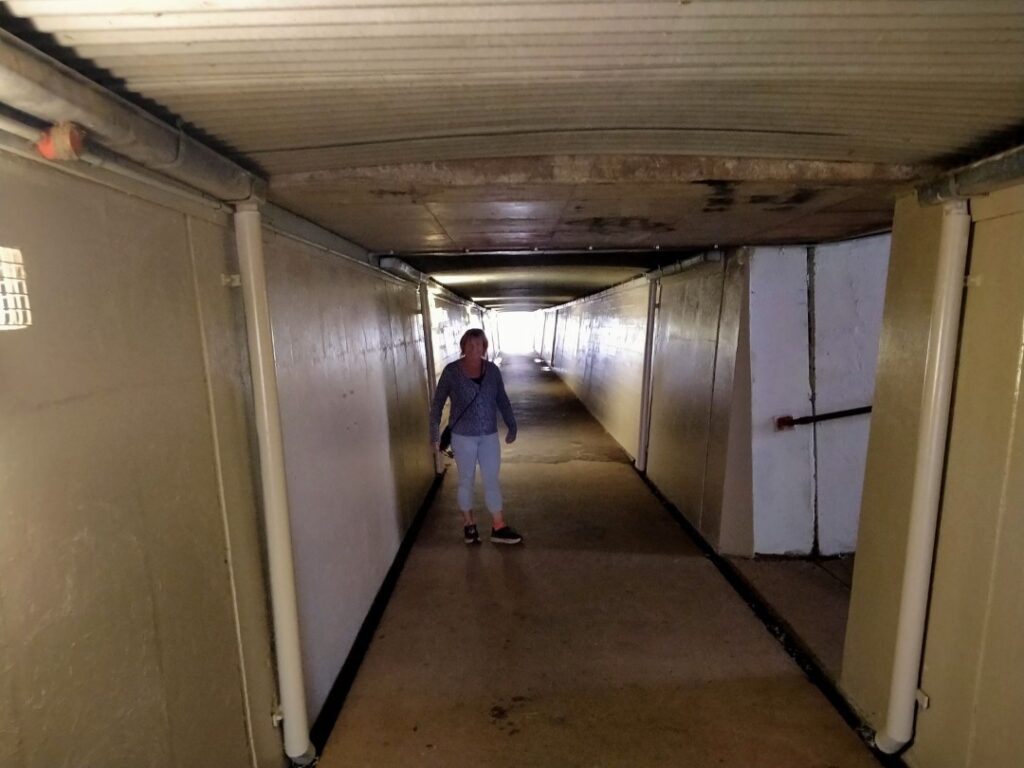
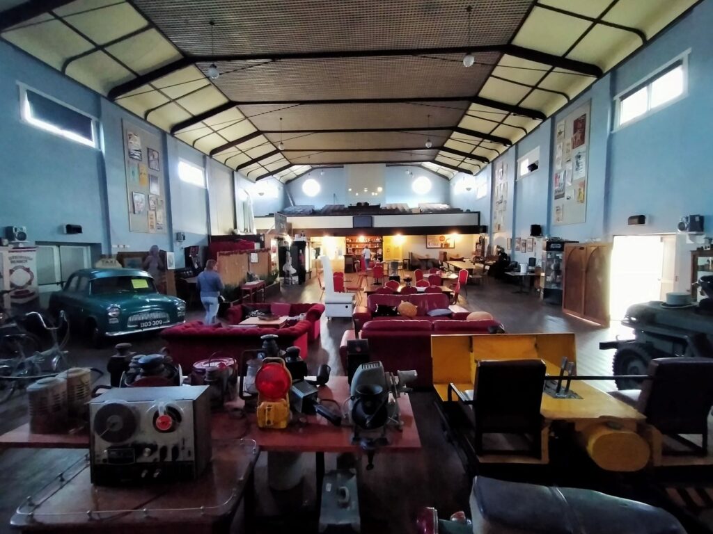
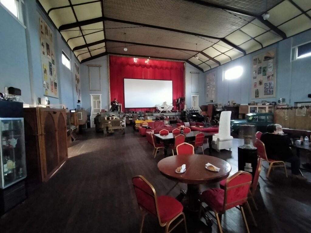
As a result of the removal of railway traffic the town offers a lot of history, a little bit of the present with the café, food mart, hardware store, a hairdresser and some other specialty shops with limited trading hours, but a very uncertain future. There is the usual eclectic mix of well-kept period properties, the dilapidated, the vacant retail spaces and those with antiquated wares that look like the front door was last opened 40 years ago. There was little real estate for sale here, most showing ‘sold’ stickers on the window displayed properties for sale. We spoke to a local of German descent who said property prices have risen significantly over the last couple of years, but he had no idea who was buying them.The population had been static at around 1500 for the 20 odd years that he had lived here.
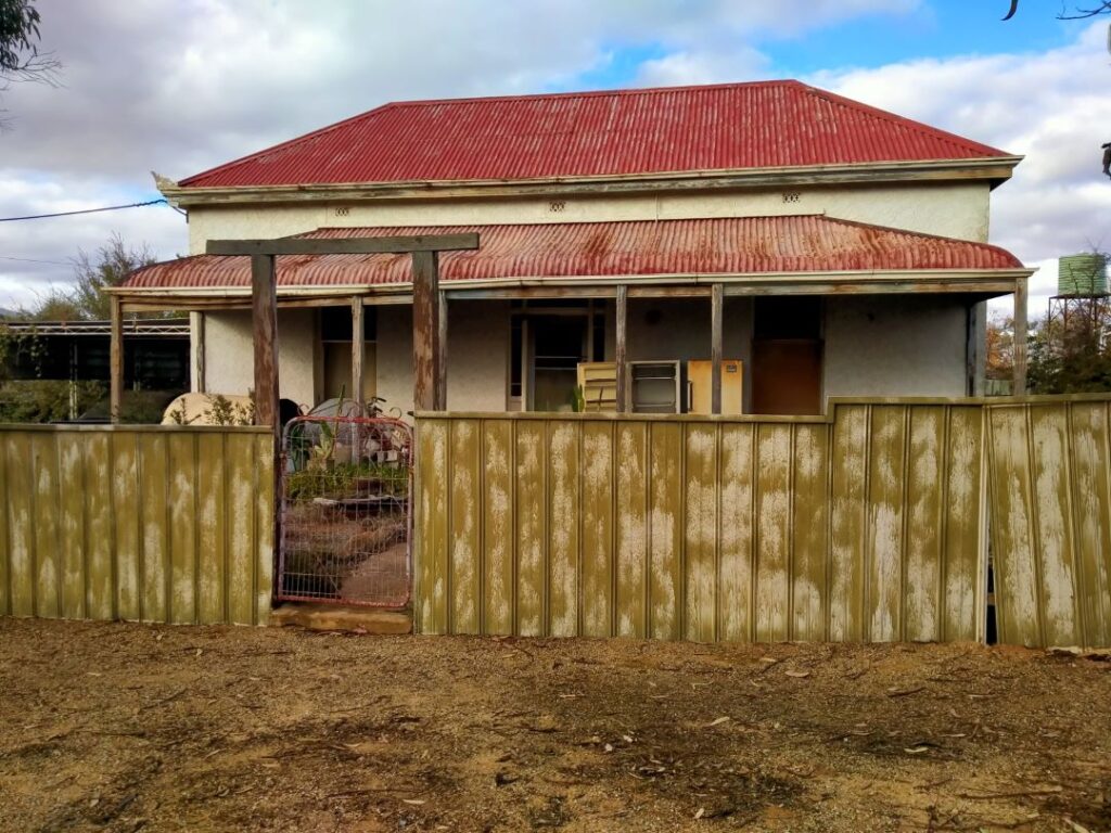

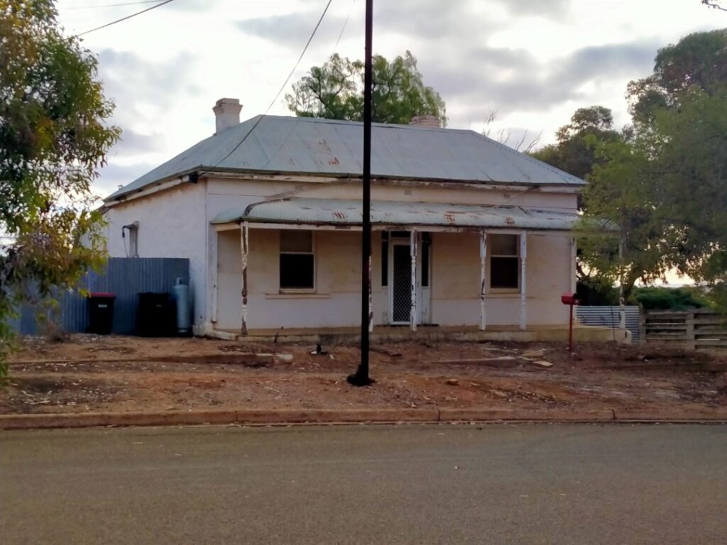
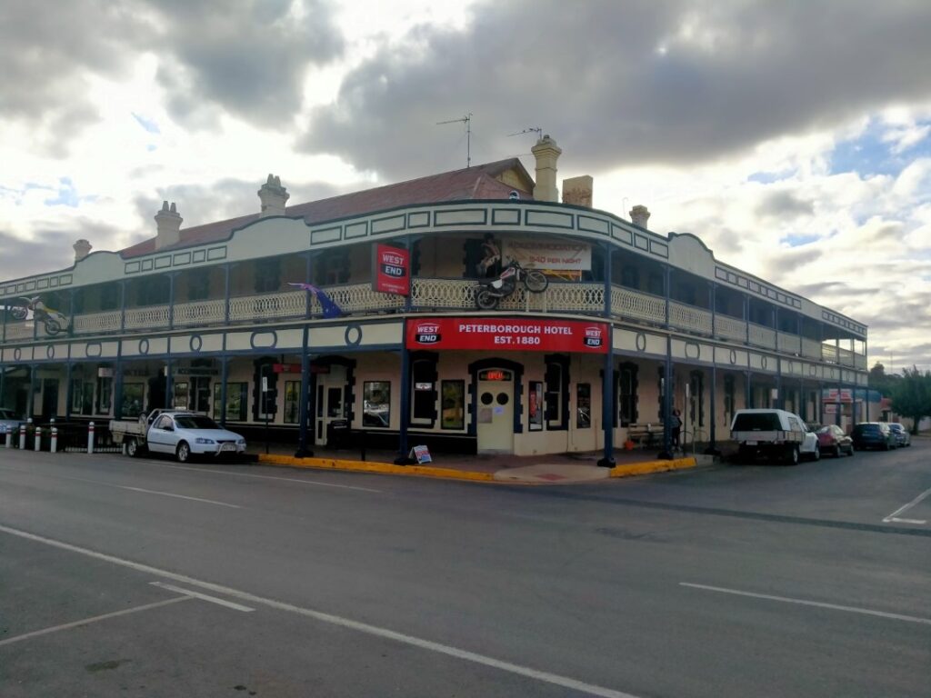
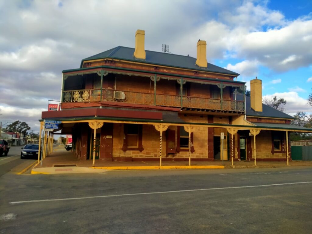
After buying a handful of groceries we strolled back to the camp through the subway that lay beneath the old station platform and tracks that were still in place, but now redundant. We used the outside kitchen to cook chicken Koftas and veggies in the cold wind, but dined in our wagon to avoid hypothermia. We slept in the all our clothes that night!
MORGAN (19/05/22)
Braved a ‘brass monkey’ shower in the morning and fried eggs on toast in the outdoor kitchen in the still chilling winds before heading off. We were still in South Australia and en-route there were warnings about quarantine requirements, stating there were no fruit or vegetables allowed in designated zones. Whilst we weren’t exactly sure where these ‘designated zones’ were we knew we were entering the fruit growing regions, so we stopped and ate all our remaining oranges and apples for fear of infringement. That took quite a while! It was only a 170 km trip today though so we made the camp at Morgan by early afternoon. Once again en-route there was quite a bit of kangaroo roadkill and the predators that take the opportunity of an easy meal. There was also a stretch of road where there was a number of derelict stone dwellings, which appeared to have succumbed to the elements.
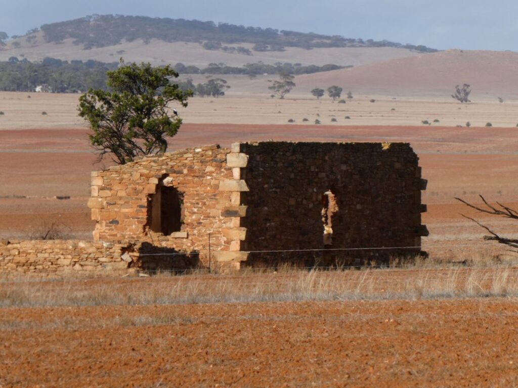
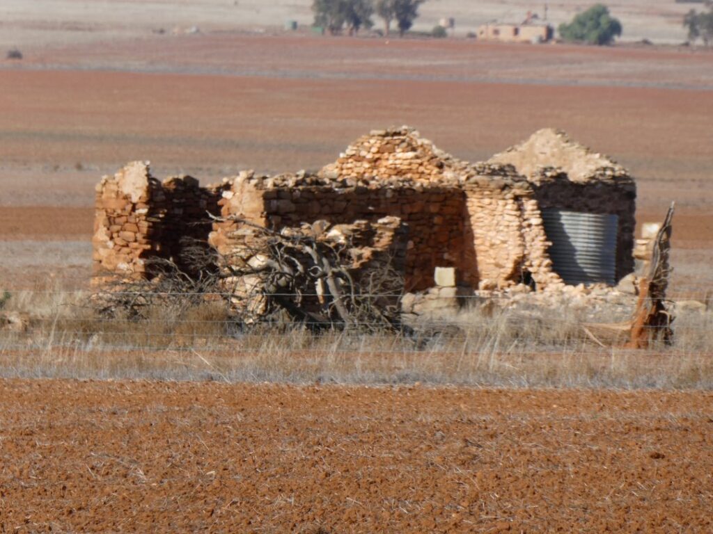
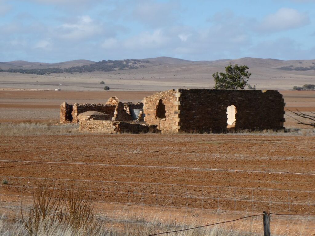
Morgan was our first stop on the Murray River (or River Murray as it was signposted) and the camp was situated immediately on the banks of the river also. This is another small town that was previously significant; a busy trading hub when the combined river and rail system was in full swing. Up to 6 trains per day travelled to and from Adelaide with the wharf here handling thousands of tons of cargo per annum. At the height of the steamer trade between 1880 and 1915 Morgan grew to be Australia’s busiest inland port. However by the early 1950s there was only tourist paddle-wheelers working out of Morgan as the cargo trade declined.
This is a pretty compact town and once again has much history on display. Remnants remain of the original wharf and adjacent railway station (now a craft and souvenir store) and the old town’s morgue! Tethered to the wharf and under restoration is the PS Canally, a historic paddle steamer originally built in 1923. The township contains semi restored old shops and various other historic buildings. These are all within easy walking distance of the camp, along with a manicured park and playground. We wandered through the waterfront section of the town, which forms part of a Heritage Trail, however we didn’t have the trail map so what we came across was more by good luck. There is a sense of humour about his town I must say.
The camp itself had an outside kitchen, well-maintained ablution block and shower facilities and a very reasonable rate of A$30.00 for the night for a powered site. It turned out once again to be a very cold night, but I did brave it without my socks this time!
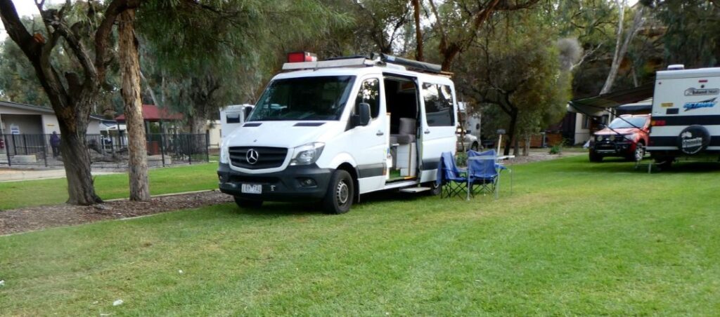
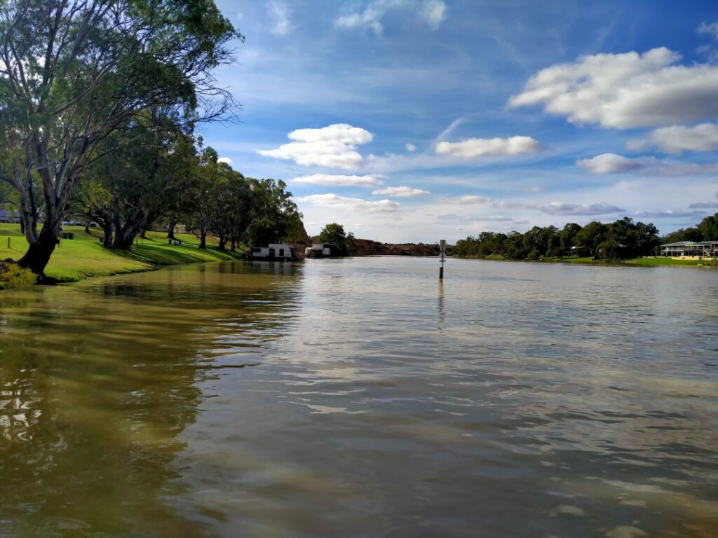
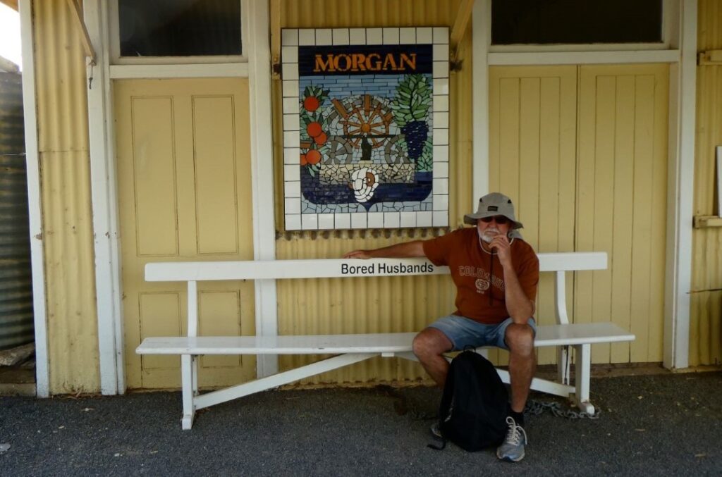
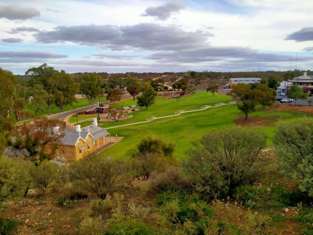
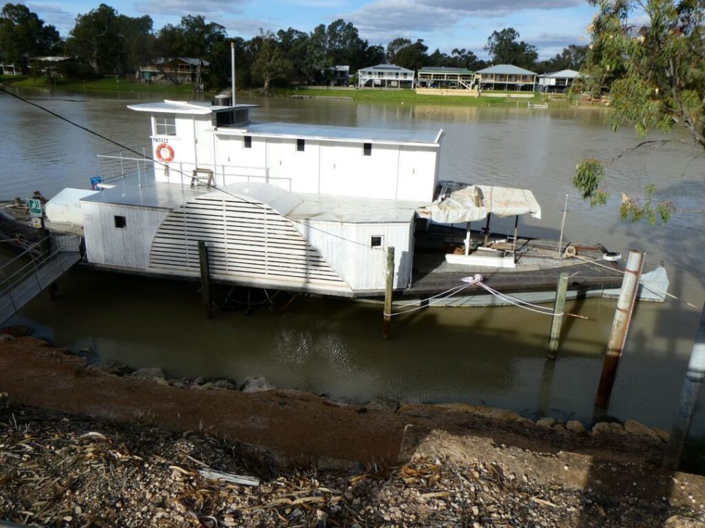
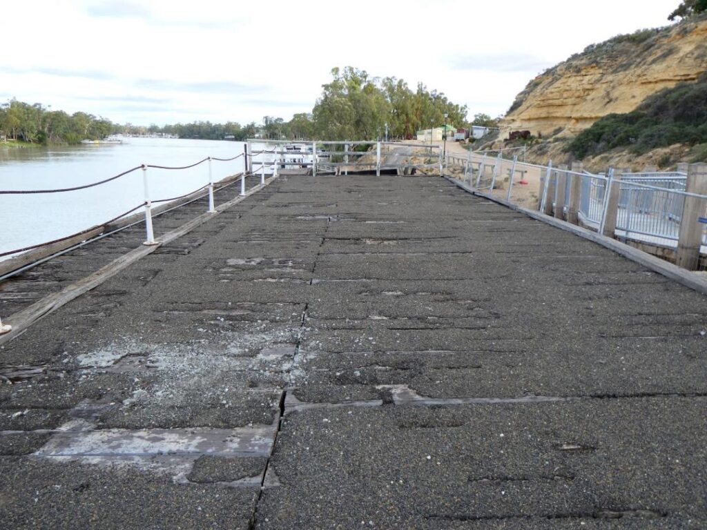
There are two authentically restored historic hotels, The Terminus and The Commercial, still surviving from the bygone days of the town’s logistical importance. We chose the latter for dinner where I ordered a quintessential pub (Butter) fish and chip meal. It was lavish in its fish portions, with a small serving of a well tossed salad and priced at a modest A$22.00. They also offered a ‘novel’ children’s menu (see photos below). There is also a museum somewhere in town, but we didn’t have the opportunity of visiting that as there was sufficient history to take in on this short walk from the camp, particularly on a one day stopover. There is a ‘punt’ (cable powered barge) just near the entrance to the camp, operating free of charge 24 hours a day ferrying vehicles backwards and forwards across the short width of the Murray River. Below is a photo that indicates the record 12m height reached in the flood of 1956.
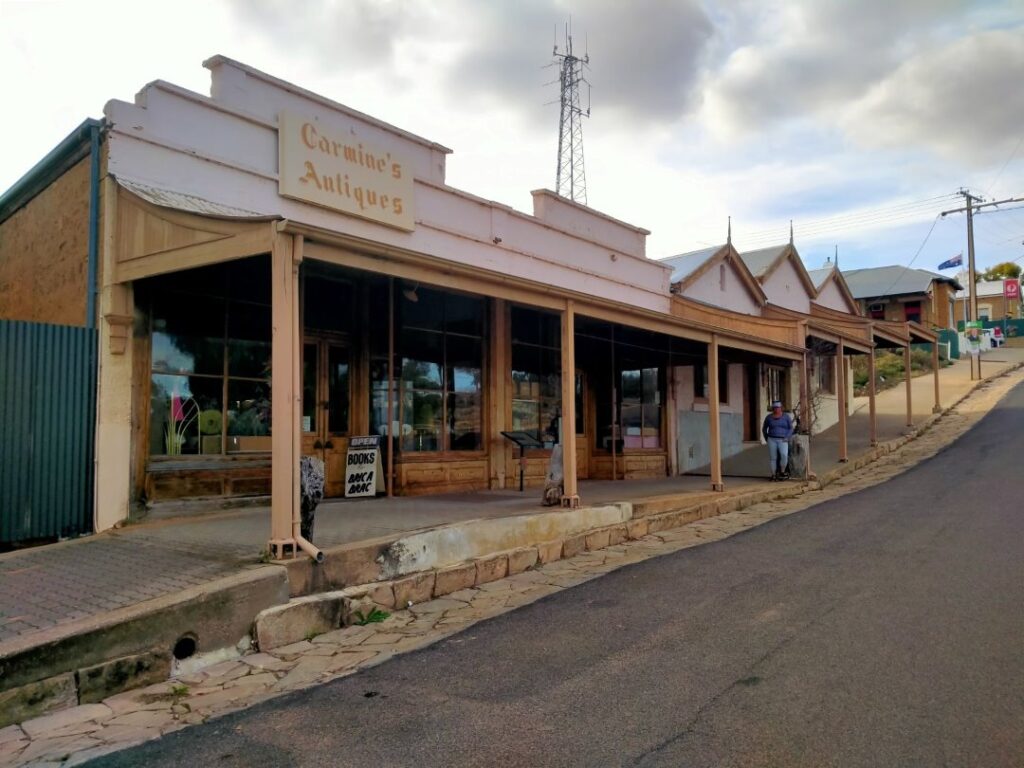
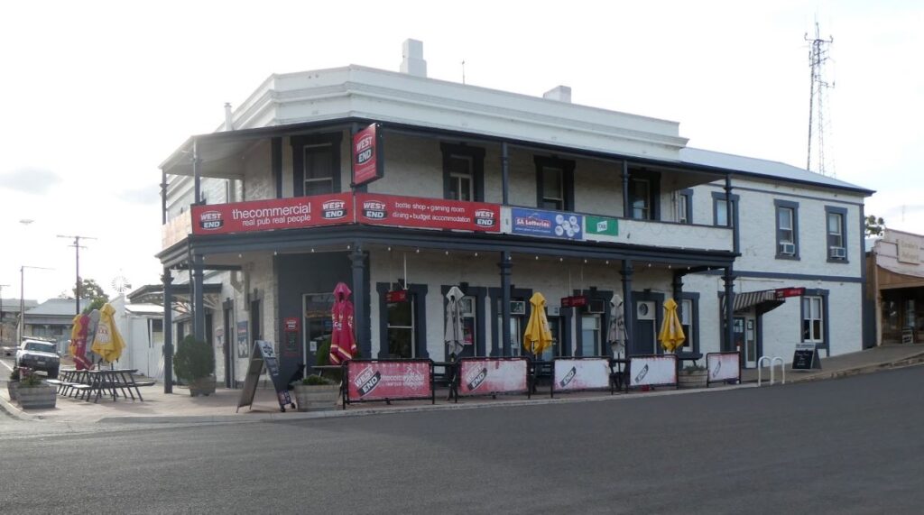
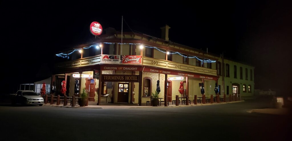
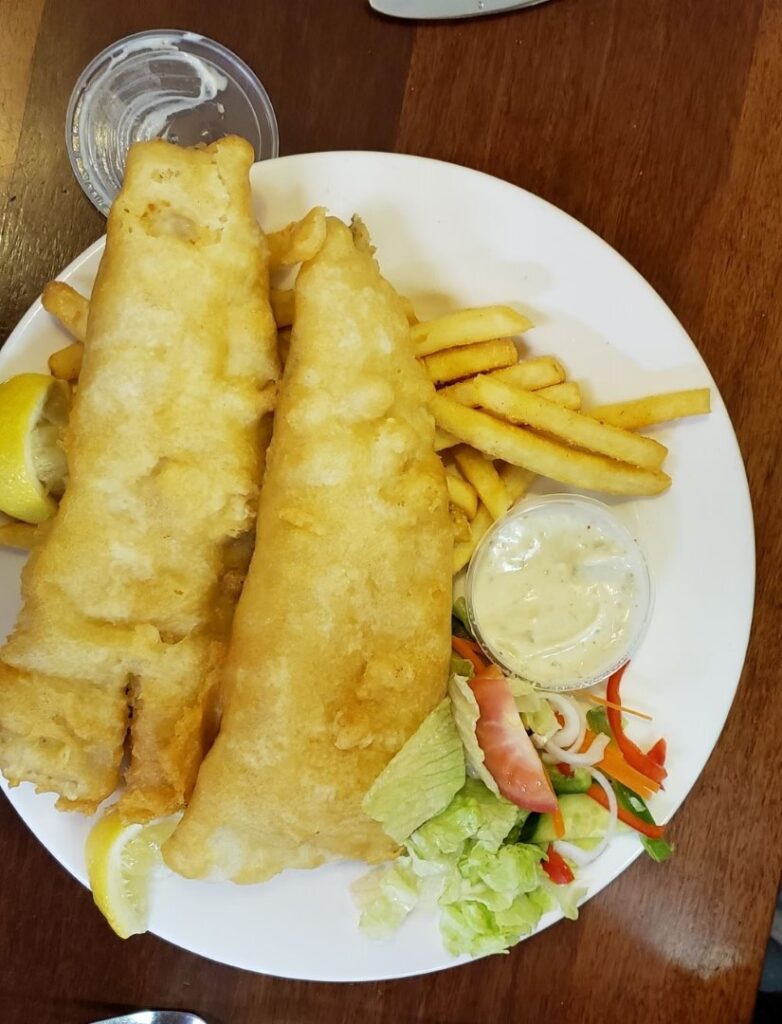

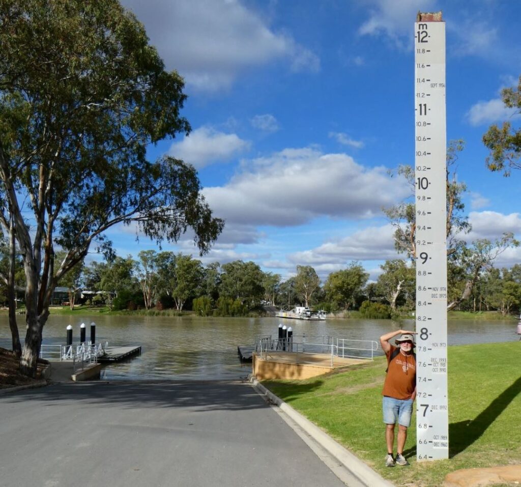
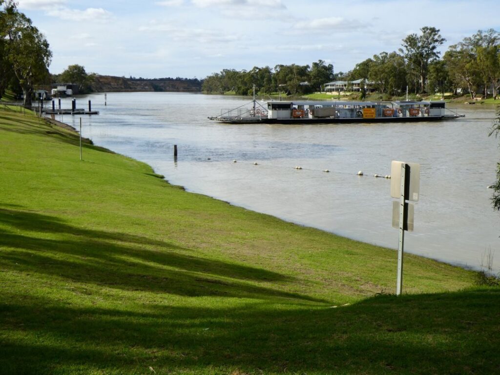
MILDURA (20/05/22)
We utilised the services of the punt as we headed off in the morning to our next stop at Mildura, some 280 km from Morgan. We were hoping to get away early as we wanted to stop at Renmark en-route, but we forgot to set the alarm and eventually left camp at 10:15 a.m., skipping showers to save some time. We did take time enough to dine in the outdoor kitchen treating ourselves to fried eggs however. We would eventually cross the border from South Australia back into Victoria today, but our first stop was at Waikerie (was this named by the Maori??) to photograph some ‘Silo Art’ and buy juice direct from the ‘Nippy’ factory (because we could!). There is a trail of silo art, but some extensive travelling is involved to cover them all and we simply picked up those that we saw en-route. These murals are hugely impressive (pun intended) and certainly make features of what otherwise are rather bland structures. There is a Waikerie clifftop walk about 1.5 km long which offers views of the Murray River and the nothingness beyond. We didn’t have time to do the walk but ventured up to a viewpoint so we could take a few photos.
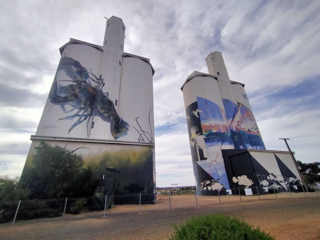
I thought it was time to insert a map to the show where we were travelling at this point of the blog. Whilst my markup of the map shows a direct path into Renmark, we did in fact overshoot and have to backtrack slightly. Looking at Google Maps now I don’t know actually how we managed to do that, but typically we were following the advice of the Google Maps hostess. Having said that I may have already entered Mildura as the destination and she may have been taking us on some offbeat fastest route as she often does! The vertical line in the middle of the map below defines the border between South Australia and Victoria, which we would cross not long after our lunch stop at Renmark.

Renmark also lies on the banks of the Murray River and is the largest town in South Australia before reaching the Victoria border. We grabbed lunch at a local bakery, treating ourselves to a meat pie for me and a custard one for Debbie, which we ate whilst overlooking a large paddle steamer, the Murray River Queen. Reading the blurb on this it is one of the oldest (built in 1974) and largest riverboats, but doesn’t actually go anywhere. It is permanently moored here and offers high-quality accommodation, so that you can say you spent the night on the river but didn’t have to put up with the noise of a whining motor or avoiding stray crocs! Still, it was a fine visual example of a fully restored riverboat. No doubt the town beckons tourists with its café’s, pubs and a touch of history, with the Renmark Hotel being the first community owned hotel in the British Empire. It is in the heart of winegrowing and fruit orchard country, and is also a prized row is growing area holding an annual festival. On the outskirts of Renmark was the Paringa Bridge, which was built in 1927 and is a significant engineering monument. It was designed so that one of the six steel spans could be raised to allow the riverboats to pass through. We had to stop at the controlling lights coincidentally to allow this process to take place, although unfortunately our view was not great from our position in the queue of vehicles.
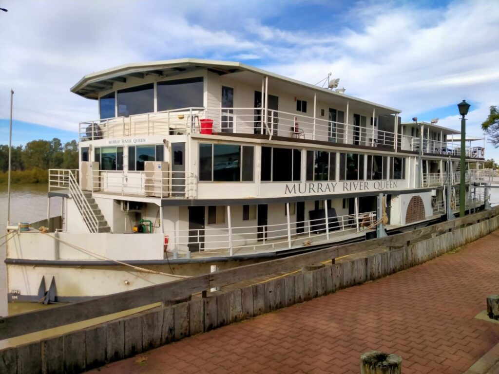
The landscape to Mildura contained many orchards, vineyards and almond farms and was much more luxuriant and colourful than the outback. This area is known as the Riverlands and we passed the well-known Banrock Station (even I know this name and I’m not a wine drinker!), with vines stretching as far as the eye can see. By all accounts there had been an excellent crop of grapes this season and in fact there was an oversupply, with many of the wineries vats full to overflowing and grapes were being turned away. We cross the border into Victoria and this was a much more visually celebrated occasion then when we last crossed this border (into South Australia) on the southern highway. The huge ‘Dunlop’ tyre arch heralded the quarantine inspection station, where all the vehicles entering South Australia were being checked. Driving through this arch felt a bit like you are at the start of a Grand Prix! There was no inspection for us however, as we were entering Victoria.
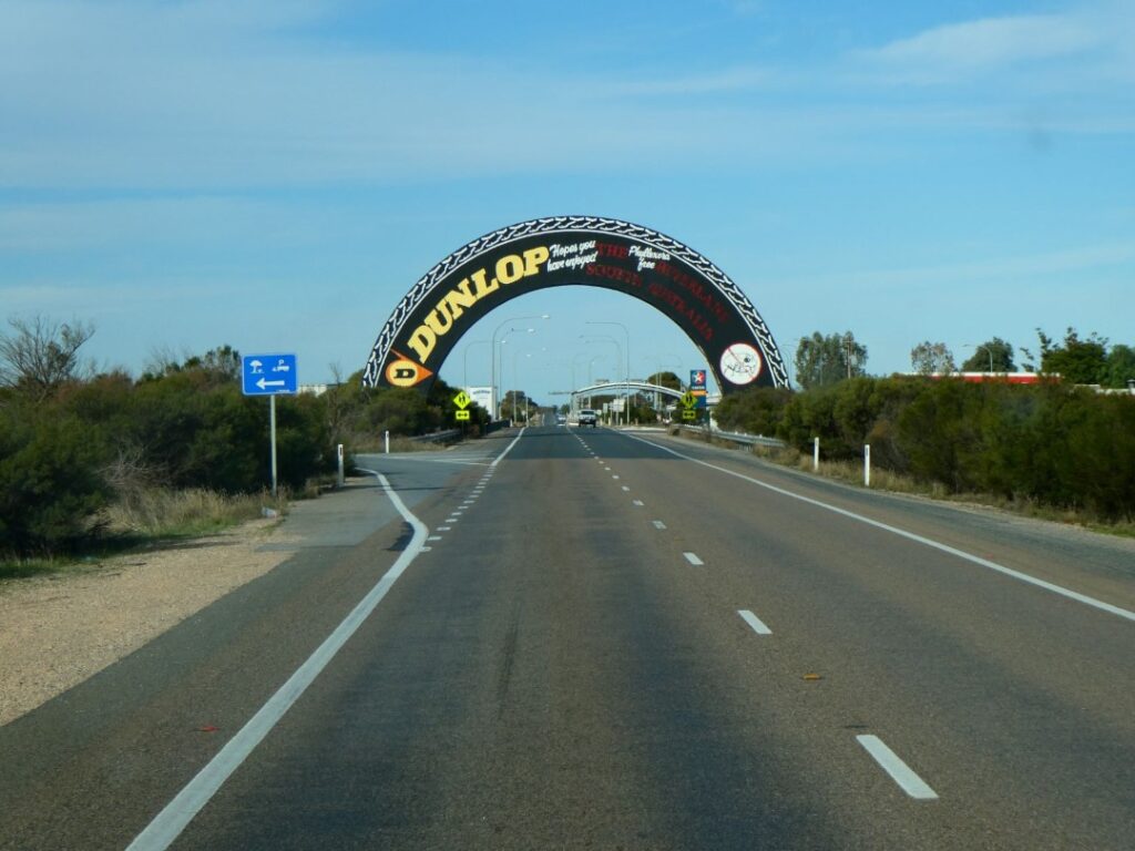
It was largely a very long straight drive on SH20 to the Waterview Campground, which is located on the Murray River approximately 5 km west of Mildura township. There was nothing particular that had attracted a pre-interest in Mildura, so we decided to stay on the banks of the river where a powered site at this campground was a very reasonable A$30 per night. We arrived in the late afternoon and we were mainly interested in having a shower and dinner here on what was a cold evening. The shower facilities that we were directed to were single skinned ‘Porta-bathrooms’, housed in a group of three with a timber deck between. We chose to have dinner first which tonight was lemon and herb-coated chicken with potatoes and salad, prepared on our camp cooker in very cold and dark conditions. We were thankful for the ambulance spotlights again! At least the food warmed up our insides before we went for our shower. Unfortunately the ‘hot’ water temperature was abysmal, with Debbie managing a two-minute ‘splash and dash’ shower and me a little longer, but at a much cooler temperature than I was looking forward to. As a result it was another night of track pants and hoodies in bed to keep us warm!
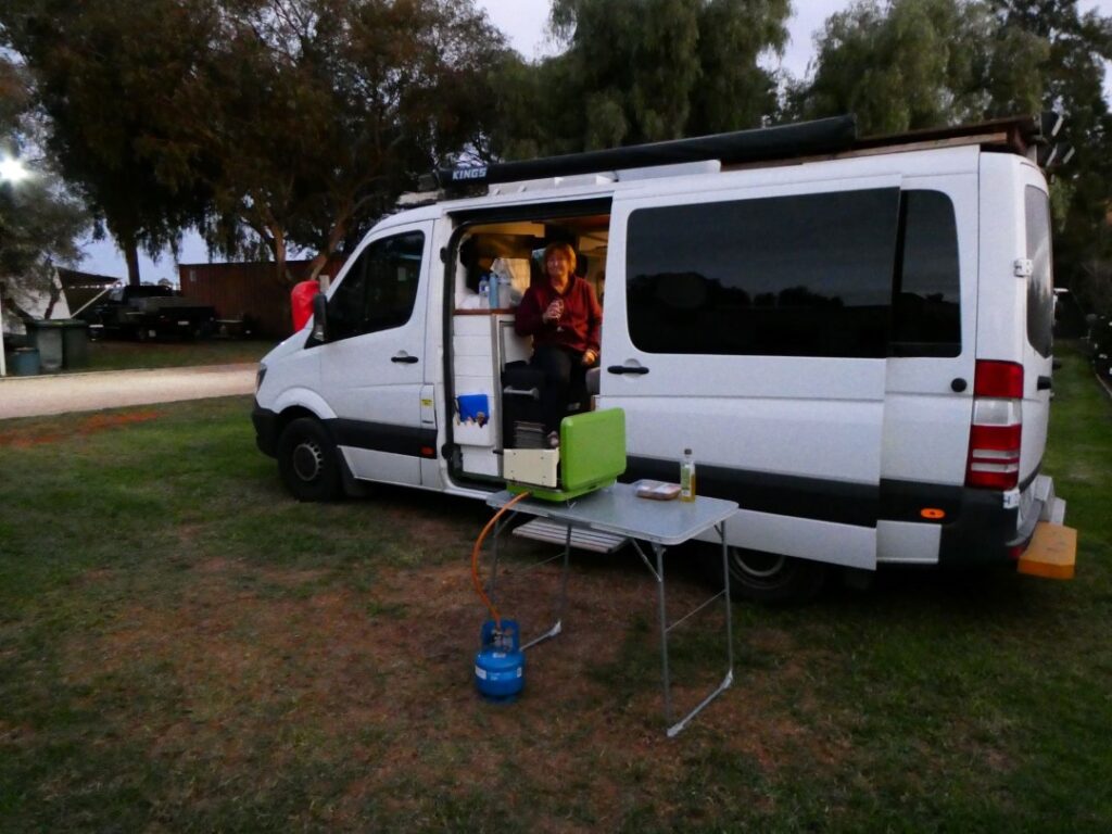
The campground was long and narrow wedged between the road and the Murray River, so in the morning we drove down and parked close to the kitchen. We discovered that there was another amenities block here with what looked like better shower facilities (and maybe they had warmer water). The kitchen block was very new with good facilities, which we used for a simple peanut butter on toast breakfast. We left the camp just after 9 a.m. and headed into Mildura township for a quick look around and a supermarket shop at Coles. The wharf was opened in 1892 and was a vital link in the town and inland river transport system until the mid 1930’s when steam trains replaced river transportation.
Whilst we were at the supermarket I took a few photos of the prices, as everybody says how much cheaper food is in Australia. I will leave you to make up your own mind based on the following photos. The beef mince was pretty reasonable, but the Scotch fillet steak was not on the menu for us tonight!
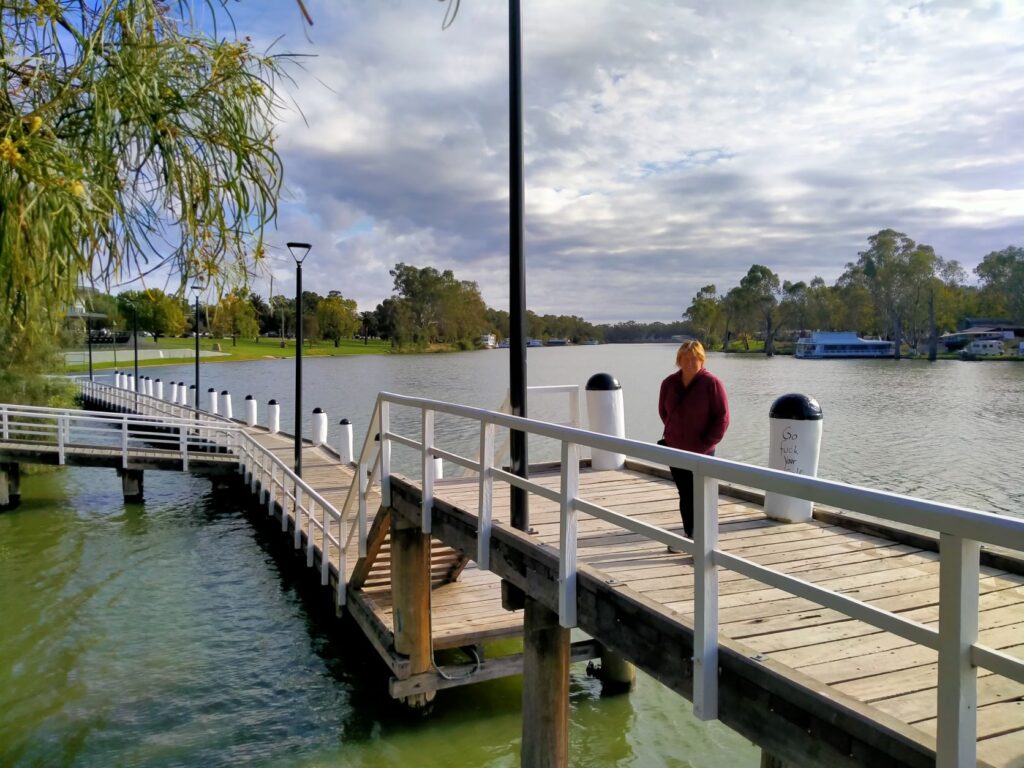
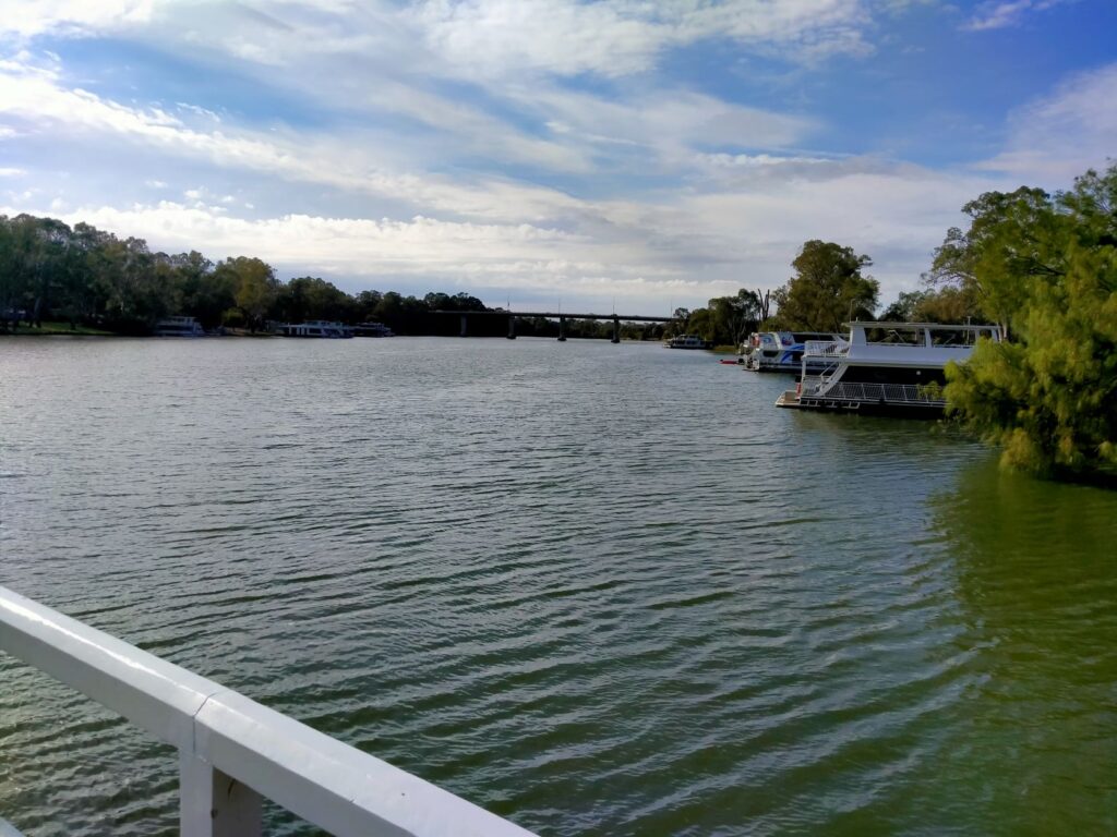
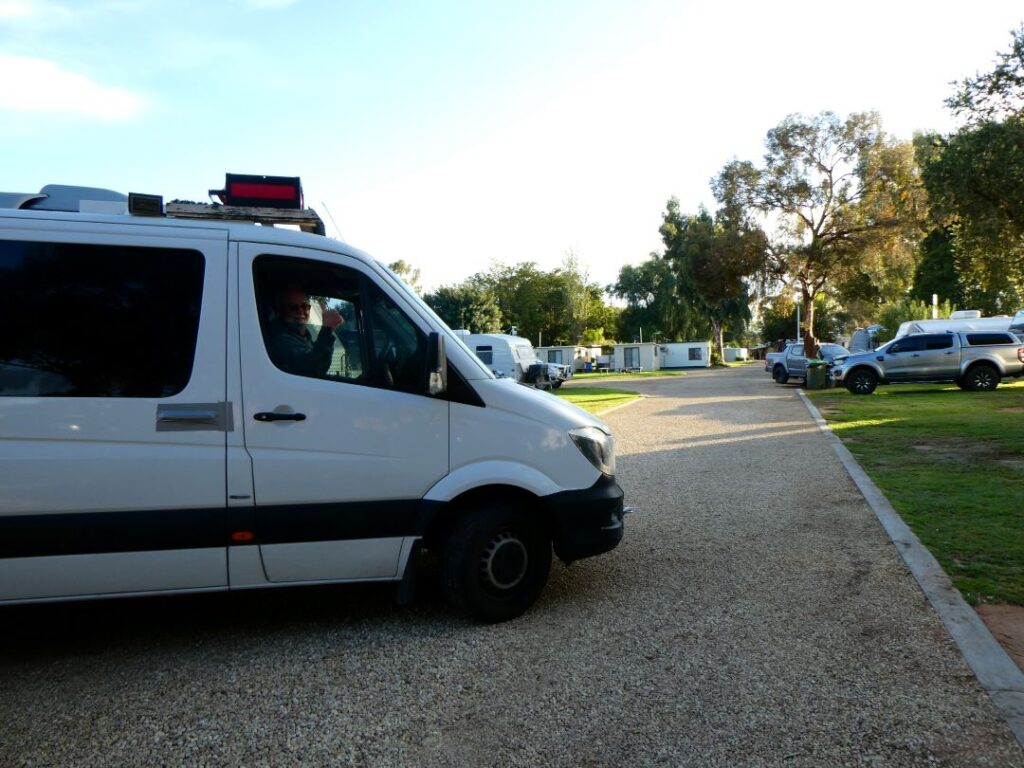
LAKE BOGA – SWAN HILL (21/05/22)
We headed out of town for our next nights stay at Lake Boga, 245 km south-east of Mildura. Our route out of Mildura to the A20 took us immediately across the Murray River and into New South Wales without any great hurrah. The border between Victoria and New South Wales follows the Murray River on the Victoria side for a considerable distance so there are a number of crossings between the two states. This would be the 5th state we have been in since we arrived in Australia. Our route would take us back over the Murray River just after Euston in the Robinvale Irrigation District, an area that contains many lakes and lush farm country.
Our drive took us past interesting towns such as ‘Gol Gol’ and much later on ‘Tol Tol’ then Good Night, Wood Wood and Tyntynder. I think whoever was naming towns around here may have had a stutter! We arrived at our destination around lunchtime and stopped first at the Visitor Information Centre. We got good advice on the local points of interest and touristy things to see and do from the friendly woman there. As a result we headed across to the Heritage Centre where we had a quick cracker, cheese and dip lunch in the motorhome, before catching a diesel powered paddle boat down the Little Murray River and across the border to the Murray River in New South Wales. A one-hour excursion was A$25 per adult or A$22.50 for seniors, although the ticket lady was initially reluctant to give me the discount since I was only holding a New Zealand Super Gold card. Perhaps this was because you do not officially become a senior in Australia until you are 67 and I hadn’t reached that milestone yet (although she didn’t actually know that!). You are required to pay an additional cost to visit the Heritage ‘township’ and memorabilia, but given that it was adjacent to the riverboat discharge point we simply wandered back past some of the exhibits for a free preview.
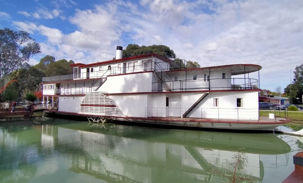
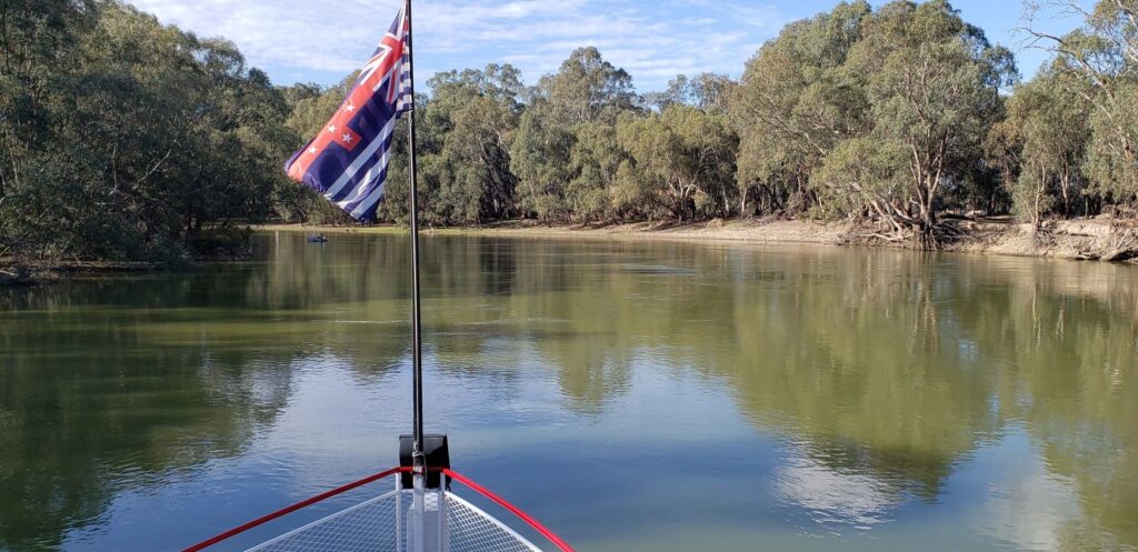
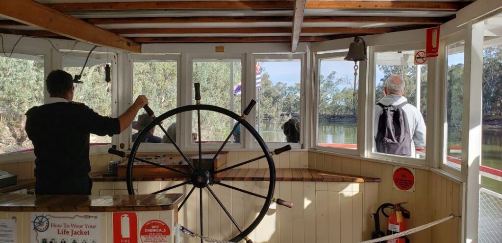

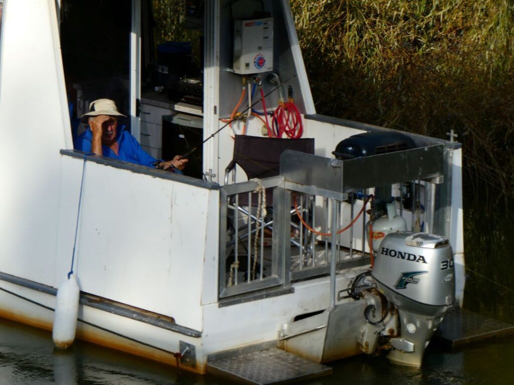
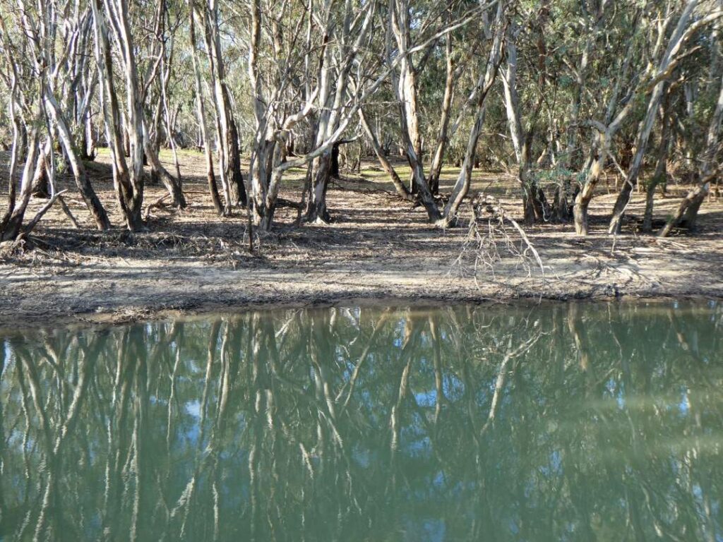
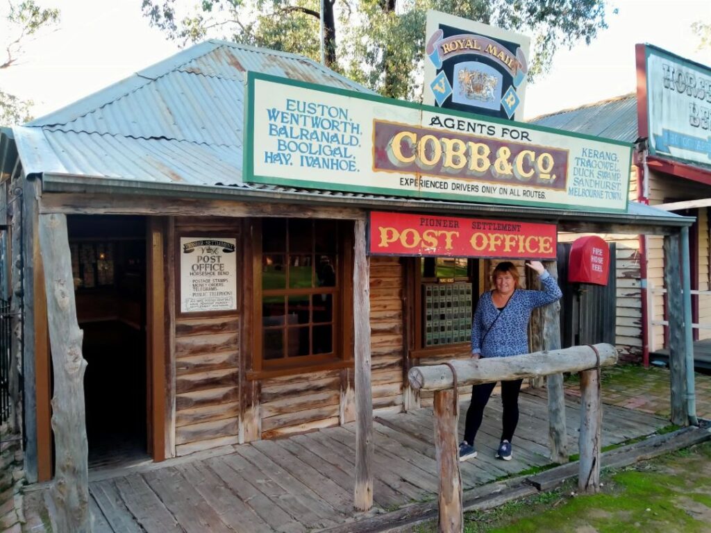
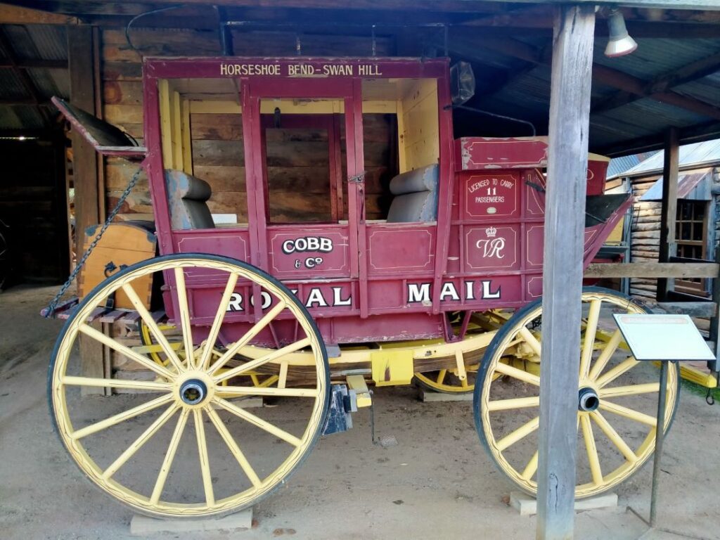
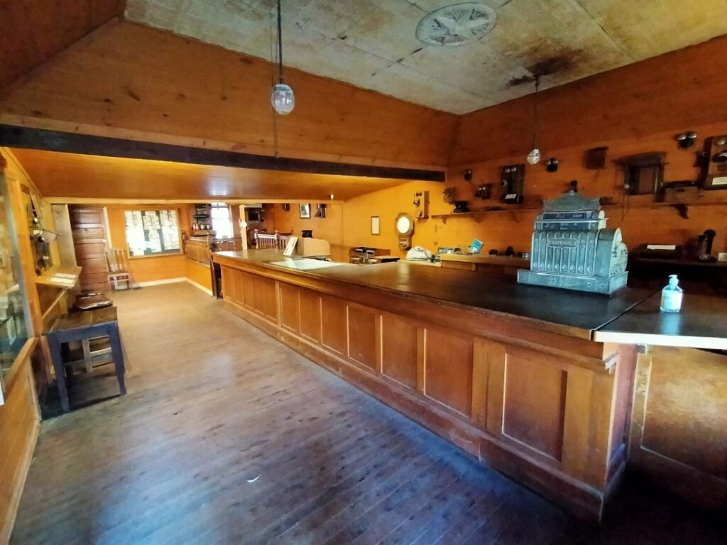
By this stage it was around 3 p.m. and it was time to take the 14 km drive south to the campground on Lake Boga. We had a great lakefront powered site (A$39.00 for the night) and took advantage of the short time we had left before sunset, setting up our outdoor table and chairs. It was a great spot to write up today’s notes and enjoy the uninterrupted view across the lake.
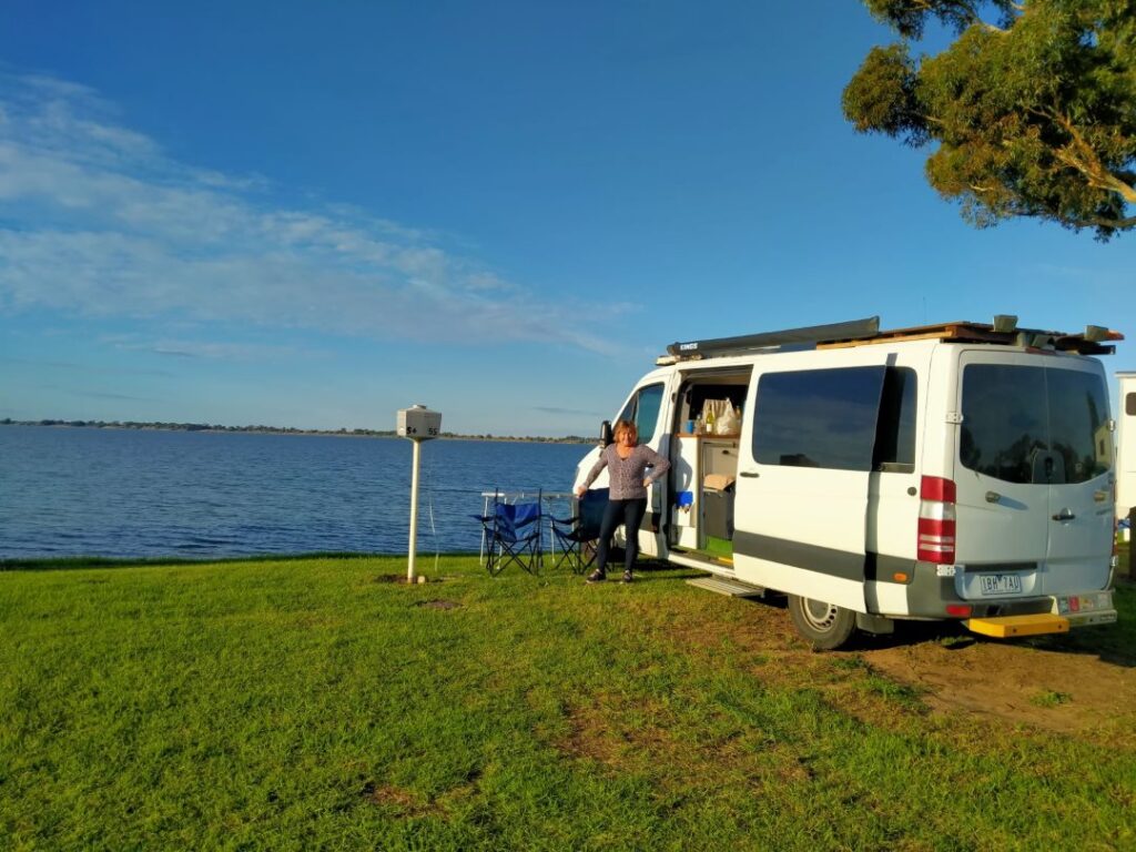
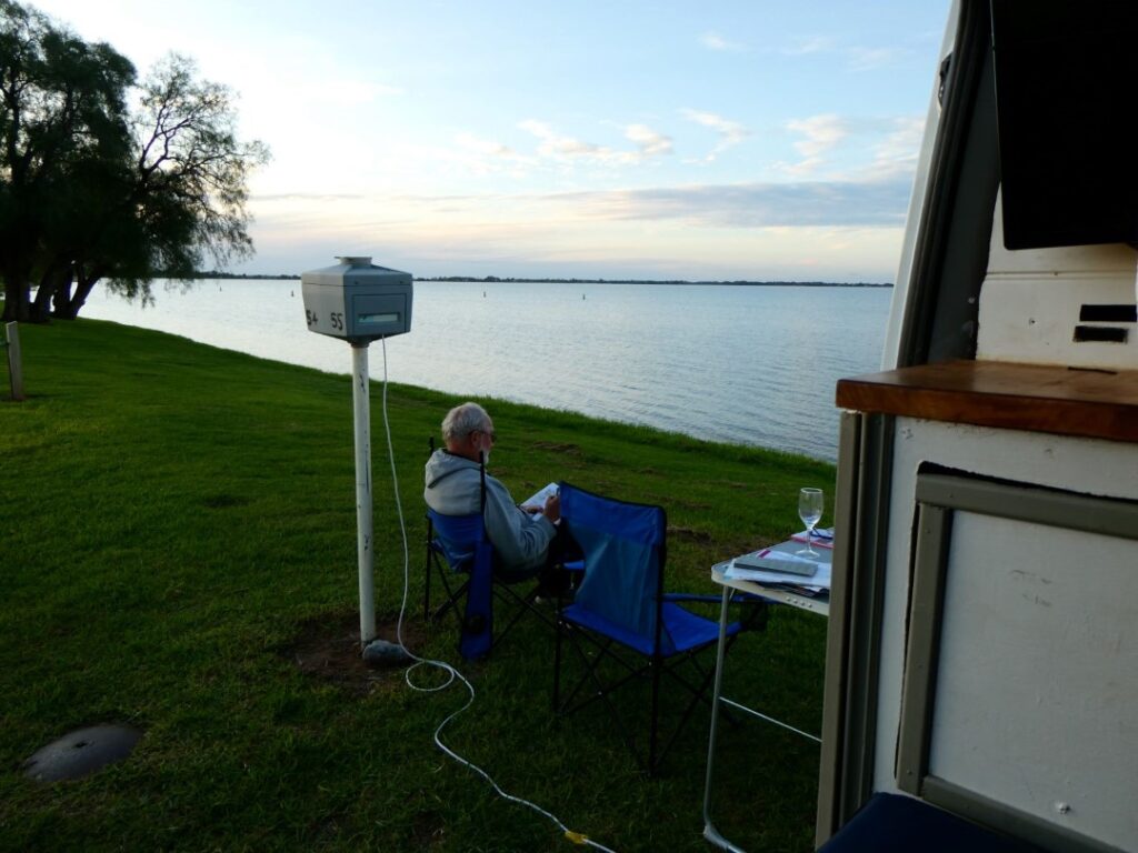
Another drive to the kitchen at the camp in the morning and another peanut butter on toast breakfast. Just as we were leaving I realised I had left my cell phone on the kitchen table and when I went back to collect it I was greeted by a huntsman spider on the kitchen floor. I am somewhat averse to spiders and had heard many stories over the years about these but this was the first one I had actually seen. I am pretty sure that’s what it was although it was a bit smaller than I had been told about so perhaps it was just a youth! I did take a snap however and note in looking at it now the poor creature only has six legs! If you are a Arachnologist perhaps you can clearly identify this from the photo below (ok not the greatest photo).

ECHUCA (22 – 24/05/22)
There was a cold wind blowing across Lake Boga when we left camp around 9 a.m., heading initially for Cohuna then finally on to Echuca, a total distance of travel today of a mere 150 km. We were ahead of the daily destination plan that we had hatched way back in Geelong a month earlier. We had heard good reports about the Echuca area and an old school colleague of mine, whom I had contacted when we were in Brisbane, advised that he was shifting to Moama, which is just across the Murray River from Echuca. As you can see from our blog we had predominantly done one night stands and long days of driving throughout our journey, other than the iconic tourist areas of Uluru and Alice Springs. We therefore felt a three-night stay in the Echuca region would be a welcome relaxing relief before the final legs back toward Melbourne.
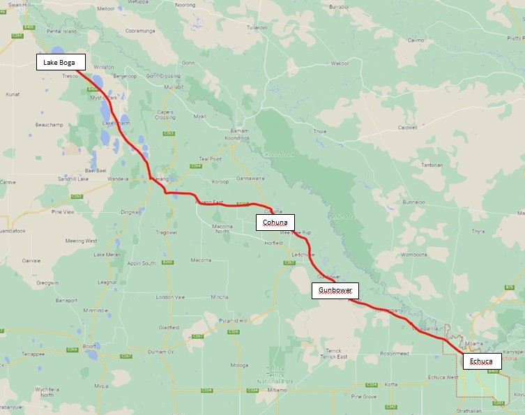
Cohuna was a picturesque town and in contrast to Lake Boga was calm and warmer beneath the cloudless sky. We parked adjacent to the information centre and walked along the concrete pathway beside Gunbower Creek to Garden Park, where there was a Sunday market. It was a beautiful scene of food and craft stalls, fishermen on the creek’s edge, a female soloist singing popular cover songs to backing tracks and a strong smell of barbecued sausages and onions. For once we weren’t in a hurry to move on and we sat at the pop-up tables with Debbie enjoying a coffee and me a Kiwi favourite of sausage and onions in bread and tomato sauce. Behind the stage and a little in the distance was what I called the ‘Big Cohuna’, a large water tower with the town’s name emblazoned on the side of the tank. Across the other side of the creek was Gunbower Island, which is the largest inland island in Australia. There were a couple of motorhomes and caravans parked up there and they certainly had chosen a wonderful place to camp. There are a number of riverside camps on this 26,000 ha floodplain and we regretted not having taken more time to enjoy at least one of these.
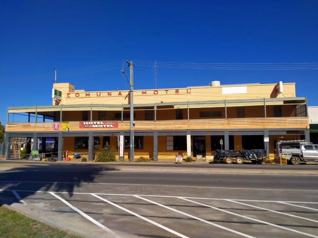
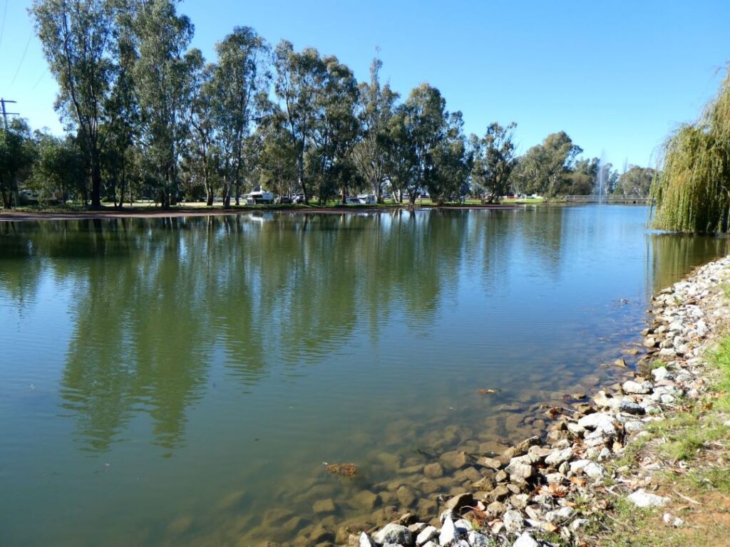
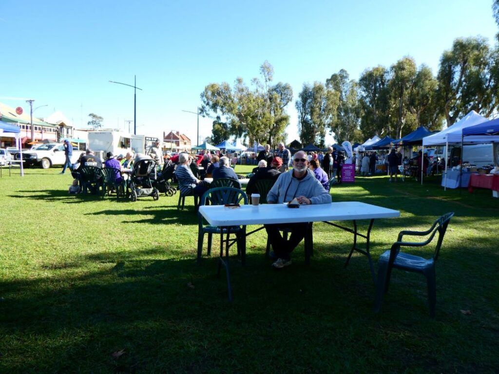
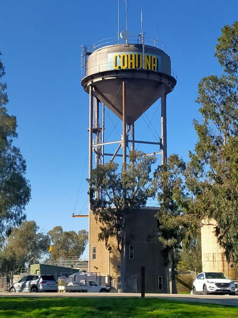
After leaving the market we stopped and talked to the staff manning the fishing ‘Catch a Carp’ Day. It was unusual to see fishermen being allowed to cast into what appeared to be a scenic pond, but it all made sense after talking to the fisheries staff. We got a free beanie each and a book on Australian fish species, together with a lecture on protection of the waterways and the continued effort to remove the introduced Carp. In line with raising the overall conservation awareness there were some longnecked turtles on display, as these are threatened by foxes who eat their eggs. All in all we really enjoyed our short stay at Cohuna, a town that didn’t seem to be relying so much on its history for notoriety but rather industries and farming that enjoy the water supply here, which utilises a highly developed irrigation system throughout the local region.
And it was on to our destination of Echuca, although we viewed the campground at Moama first, which is just across the Murray River in NSW, before settling on the Echuca NRMA Holiday Park in Victoria. This camp is very large with a total of 263 sites, a very picturesque swimming pool, playground, tennis court, large and well-equipped kitchen and multiple ablution facilities. There were a number of permanent sites in various habitation forms and ages, but it appears the management is pretty strict and they were generally well maintained and free of any external clutter. The ‘permanents’ are also located in a specific area at the rear of the camp. A lot of these were not occupied during our visit but there was still a healthy number of caravans and motorhomes coming and going during our stay. The camp fees were very reasonable, with the first two nights costing us A$37 and the last A$35.
It was nice to be able to break out the camp chairs and table and even slip my shorts on to enjoy the mid-afternoon warmth. We we took a walk along the banks of the Murray River beside the camp and many houseboats were moored there, some it appeared that were able to be rented as riverside accommodation. It had been another beautiful sunny day, but as the sun set the typical evening temperature plummeted rapidly. It was refreshing though to have a decent shower, a shave and trim my beard to restore some grooming! Afterward we enjoyed a dinner of bacon, egg and avo on a lightly, yet crisp toasted bun. This has been one of our go to meals on this trip, which is quick and only somewhat unhealthy!
This morning we took a walk into the township, which is only about a kilometre from the camp. Echuca is a great tourist town with a significant history that it has maintained remarkably well. Being on the Murray River it became a pivotal connection between the rail system and the river trading system. With the explosion of riverboat trade in the 1860-70s Echuca became the largest inland port in Australia. Although this prominence was short lived due to the expansion of the rail system in the 1880s, Echuca has become a living monument to the 1870s. At its peak in 1865 the wharf was over 300 m long and supported eight red-gum saw mills. The last use of paddle steamers to bring timber to the port was in 1956. A steam powered historical Mill operates as an exhibit on the wharf, which is now a museum of those halcyon days. There is no charge to view both the exhibits and the history museum and we spent some time here lapping up the bygone era. The region is home to the world’s oldest wooden hulled paddle steamer, the 1866 PS Adelaide. It also boasts the world’s largest operating paddle steamer fleet, with rides available to the public daily.
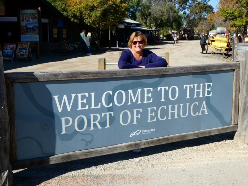
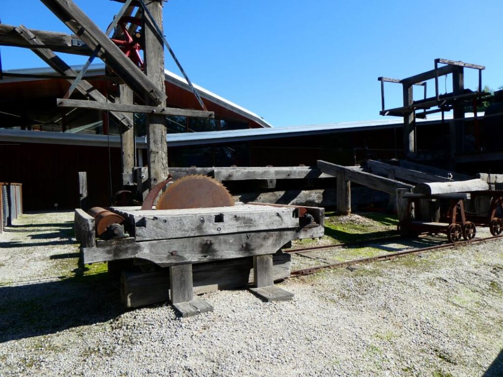
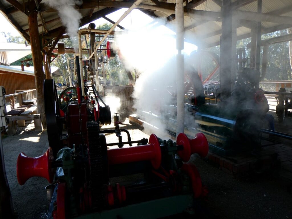
The road outside the museum still has the original wooden drainage channels and is authentic in its crusher dust surfacing. This is probably the closest thing I have come in my travels to a wild west main street, complete with horse hitching rails, wagons and drinking troughs. I felt the urge to pull on the old leather holster and imitation, although incredibly authentic, six-shooters that we spent hours playing cowboys and Indians with as kids! We wandered in and out of the various retail offerings including St Anne’s Winery offering free local wine tasting (Debbie was keen on a swig from the barrel!), Shackell’s Bonded Store (only because of the sign offering fudge!), The Sweet Co complete with giraffe, the Echuca Disposals Camping and Fishing store with much of its wares lining the footpath, the Scale Model Car shop was a memory reviver and the famous Beechworth Bakery, an Australian institution apparently. After a cold start to the day the weather broke into cloudless skies by the afternoon with a temperature in the low 20’s. We had noticed wherever we travelled and found ourselves in a bar or restaurant that chicken parmigiana is a staple bar meal over here. Today in the sunshine we lunched outside at ‘The Shamrock’ where they offer 101 ‘Parma’ meals of every conceivable flavour. Debbie and I shared a chicken, avocado and bacon version with chips and salad ($23.00) and then walked across the road to the ice cream parlour for a gelato dessert.
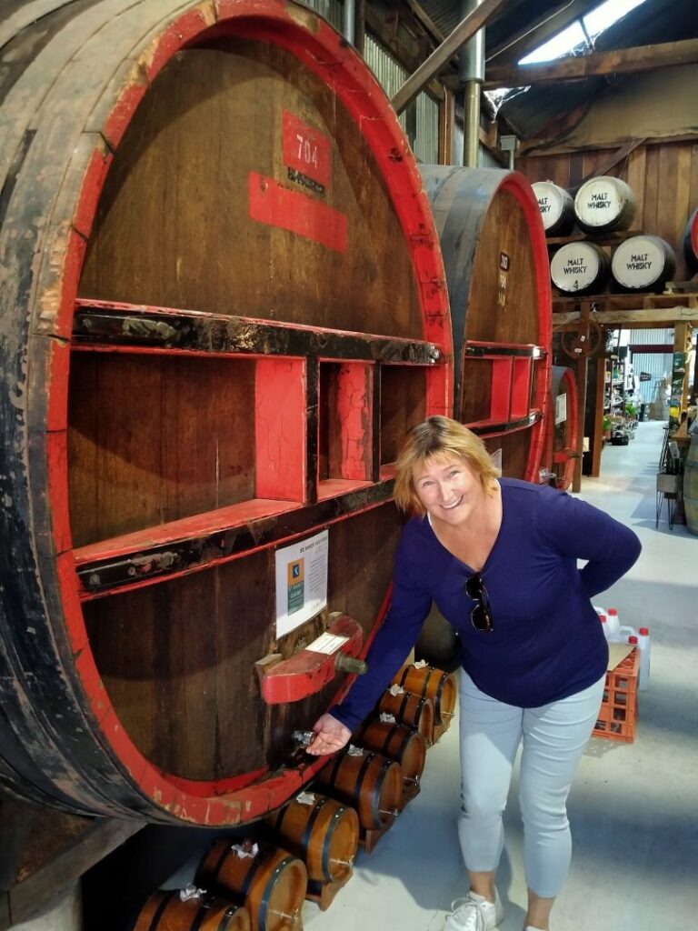
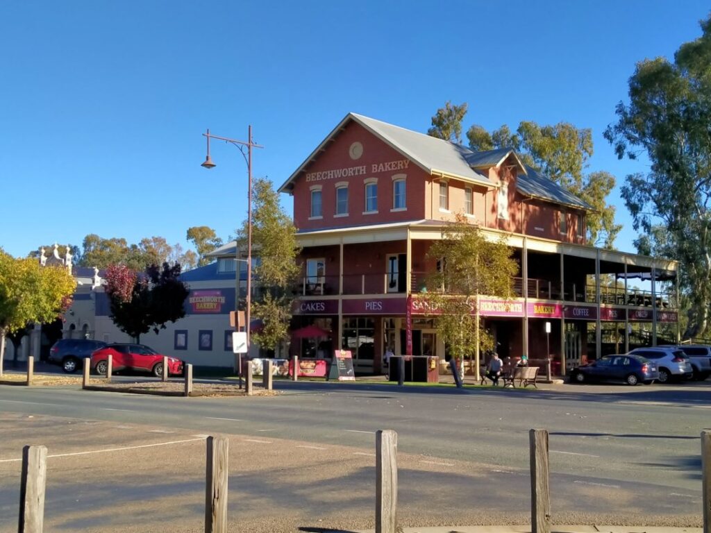
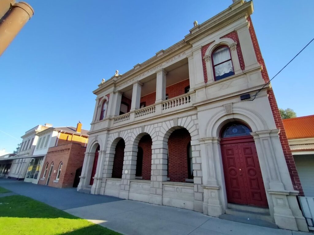
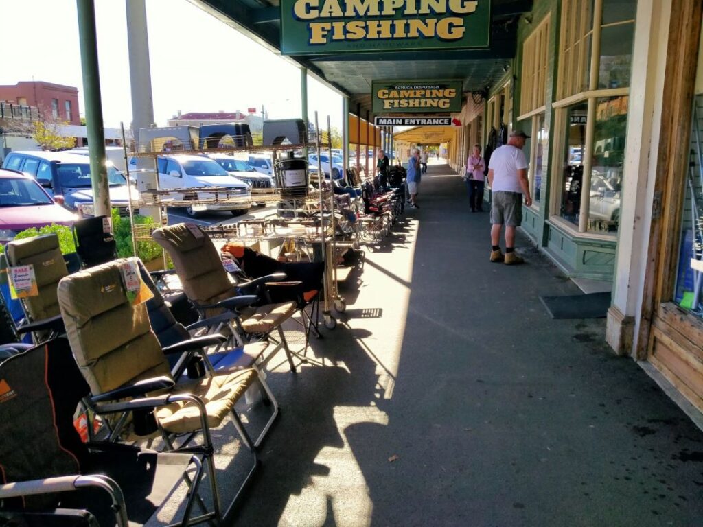
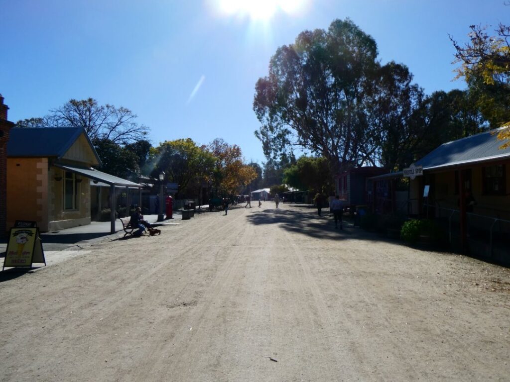
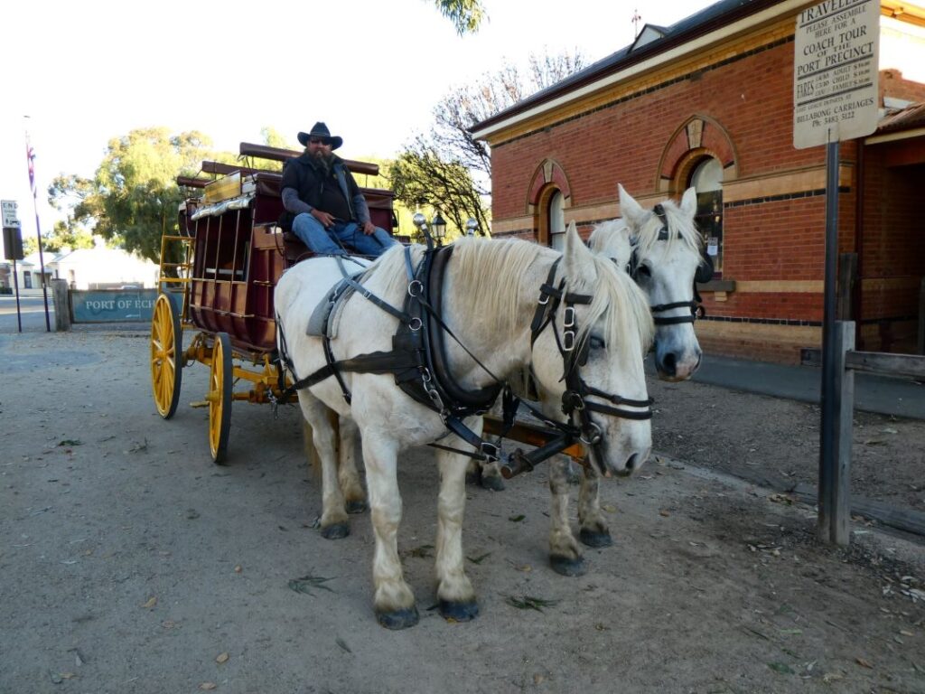
May 24 and we took a drive across the state line into New South Wales and Moama, which lies on the northern banks of the Murray River. After speaking with my old school colleague in Brisbane as mentioned above, I contacted him again as when we were in Brisbane he said he was en route to his new regional home in Moama. Unfortunately this time I contacted him he was back in Brisbane finalising settlement on their apartment, however he did give me a rough idea where his new home was, so we took the opportunity to check it out. Clearly Moama is a growing township with a new shopping centre and supermarket and my colleague’s home is located in a burgeoning new subdivision of substantial properties and sections. Looking at some statistics the population of Moama is around 6000, with a median age of 60+, which certainly tells you that this is a great place to retire! The median price for a 4 bedroom home is A$860,000. Given that we are motorhomers we liked the fact that many of the new homes included a second driveway separate to the garaging, which appeared to be able to accommodate parking for motorhomes, caravans and/or boats. This is a place for the well heeled baby boomers!! The roads in the new subdivision were also very wide with ample space for on street parking, whilst the common areas are nicely landscaped with trees and a large pond. This pond may in fact be part of a stormwater retention system because of the town’s proximity to the Murray River. We picked up a few groceries at the newish Woolworths Moama and took a drive down onto the banks of the Murray River, where you can get a downstream view to the Echuca historic quarter and wharf.
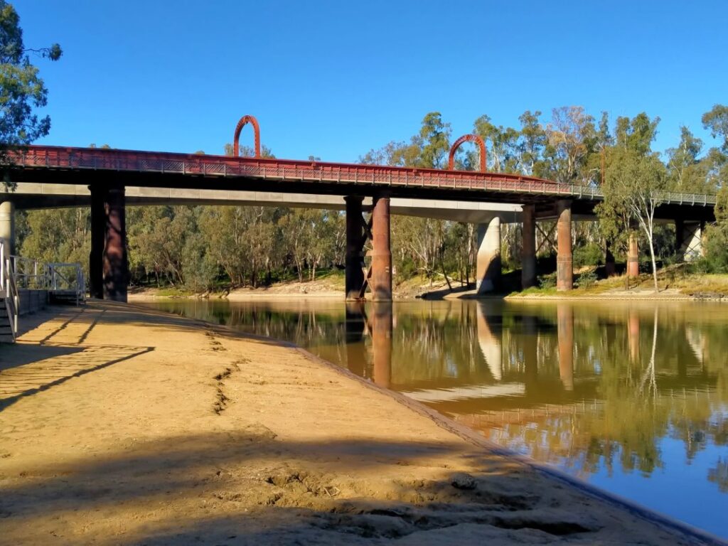
We grabbed a quick sandwich back at the camp and then walked off into Echuca again. We took advantage of the free ‘standard’ bike hire available, complete with helmets, from the Discovery Centre (aka museum/souvenir shop) and proceeded to ride the bridge to bridge route, as suggested by the helpful woman at the counter. This took us over the old bridge (which is still fully operable for vehicle and pedestrian traffic), through Moama at a more leisurely pace than this morning’s visit and then back over the new motorway bridge to Echuca. Here’s a few photos from our self-guided cycle tour.
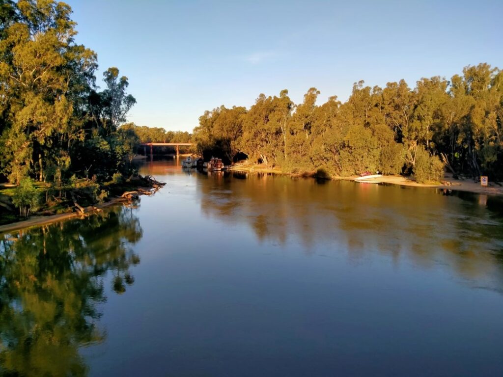
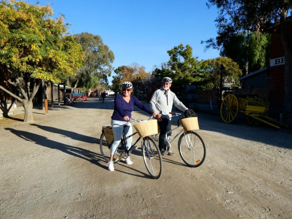
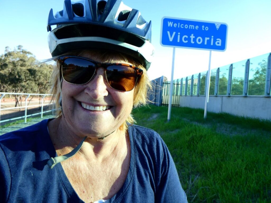
We dropped our bikes at the Discovery Centre and decided we would take the jaunt around town on the stagecoach, which starts its short circuit around town just up the road from the Discovery Centre. When we arrived at the stagecoach the driver was just packing up for the day, but we managed to convince him to do one more trip for us, although he said we would have to ride up top at the back as he had put all his display signage inside the coach. We wanted to ride up top anyway! It was A$20 cash for the two of us but we only had A$15 cash on us. He kindly accepted that, perhaps because it was $15 more than he was going to make anyway considering he thought he had finished for the day! It was a relatively short circuit around the streets we had already walked, but it was a first time experience on a stagecoach and another tick on the spur of the moment bucket list.
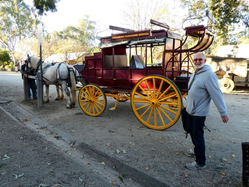
We were very impressed by Echuca, with much to see and do in a very small radius of the campground. Here’s a few extra pics of things we saw on our various forays from the camp. Incidentally it was time to fill the tank again and the diesel cost here was A$2.08/L.
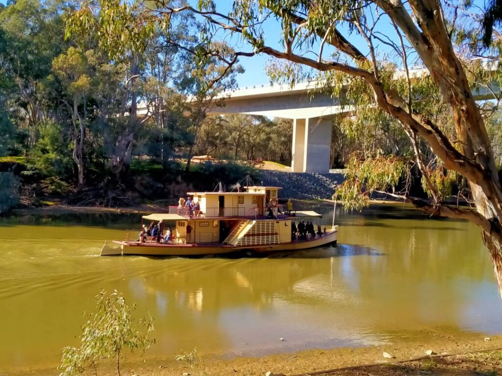
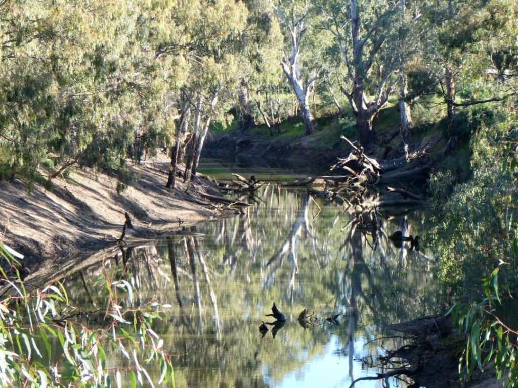
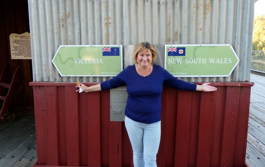
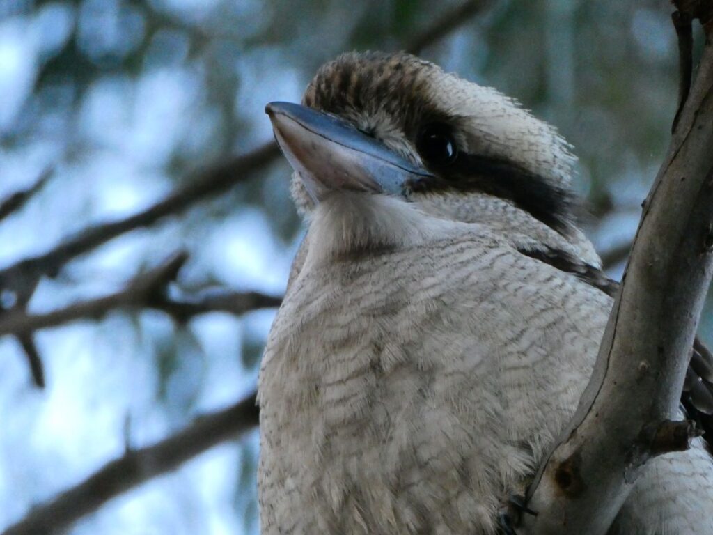
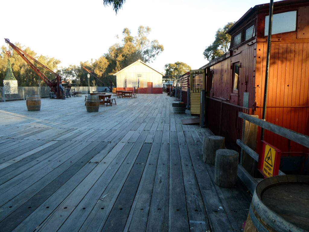

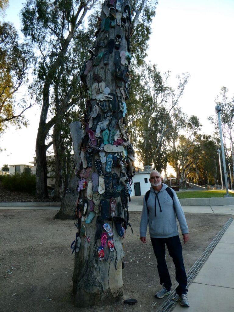
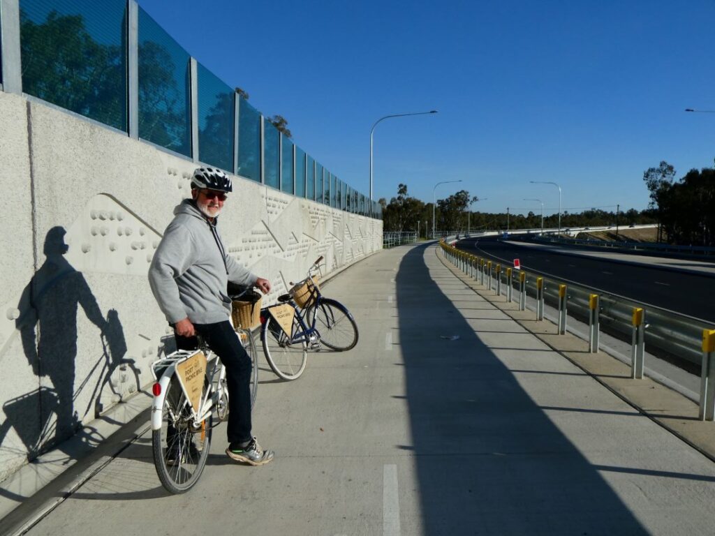
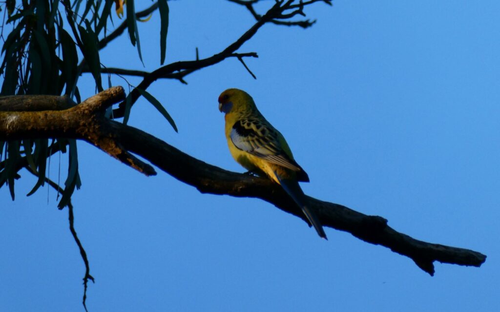
BENDIGO (25-26/05/22)
A short 88 km drive from Echuca to the Big 4 Bendigo Ascot Holiday Park (A$44.00 per night) today, so we stopped at Rochester along the way to photograph some more silo art. The very talented Jimmy Dvate had been at work here also with more monolithic works of local fauna and flora. This time it was the Duck-billed Platypus, The Squirrel Glider and the Azure Kingfisher. Rochester is a small rural town with a population around 3000 and “Visitors are encouraged to visit the many eateries, enjoy a bite to eat, have a drink and live like a local”. It’s good to know that the locals eat and drink … I feel like a local already!
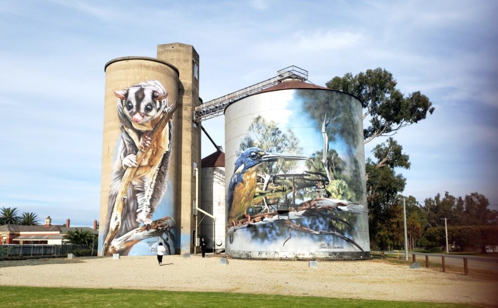
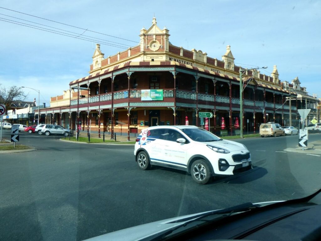
We hadn’t booked into the camp and were fortunate to secure a site as only two were available. We headed into town for lunch looking for the camp receptionist’s recommendation of the Beechworth Bakery after admitting to her we didn’t visit the one in Echuca. We trolled the main street for parking and eventually found a long term one in a back street behind the very impressive 19th century Sacred Heart Cathedral. After wandering in the wrong direction for some time we finally, after checking on the free drinks voucher given to us by the camp, found the bakery. There is small chain of these in Australia and it provided an adequate lunch and honoured the voucher drinks, but I wouldn’t say it offered anything really special. It was very well patronised during our visit though, so at least the Aussies love it.
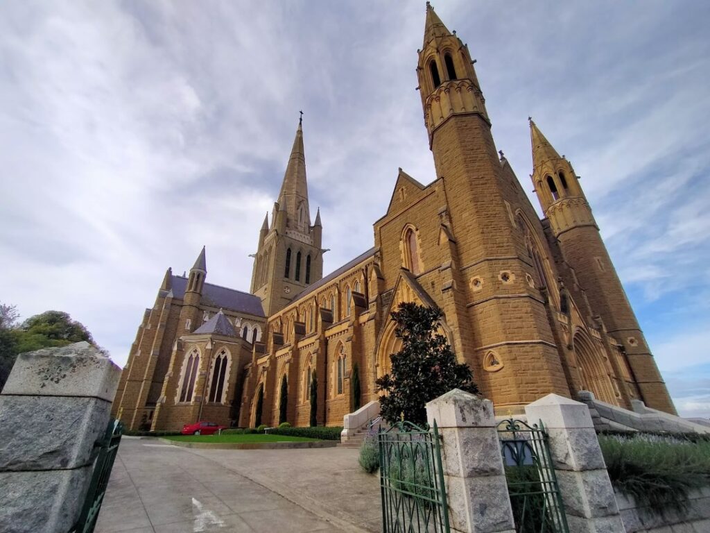
The bakery’s location was very handy to the Central Deborah Goldmine, which we wanted to visit. We paid the A$35.00 (Debs) and A$30.00 (me as a NZ senior!) price for the 75 min tour down into Level 2 of the old mine workings. This took us 61 m underground, although the full depth of the original mine, which ceased operation in 1954, was 17 levels or 412 m and had 17 km of drives and tunnels. The mine only operated for 15 years and in that time extracted 929kg of gold, worth about $50m in today’s terms. The level 2 working was turned into a tourist attraction in 1985 and is well worth a visit, to give a real understanding of the conditions the miners here had to tolerate. The mine operation is largely still intact from the day of the closure.
With reference to the photos below be assured that the lift we took was not one of the original ones shown, but one with considerable greater size and safety for tourists! The miners had to completely remove all their clothes at the end of each shift and the Ragpicker had the job of inspecting all the clothing for any gold. The miner’s day clothes were held in a separate room so that no transfer of smuggled gold could be possible before the Ragpicker’s inspection.
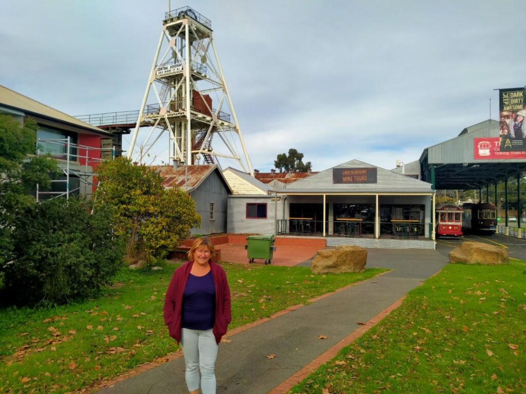
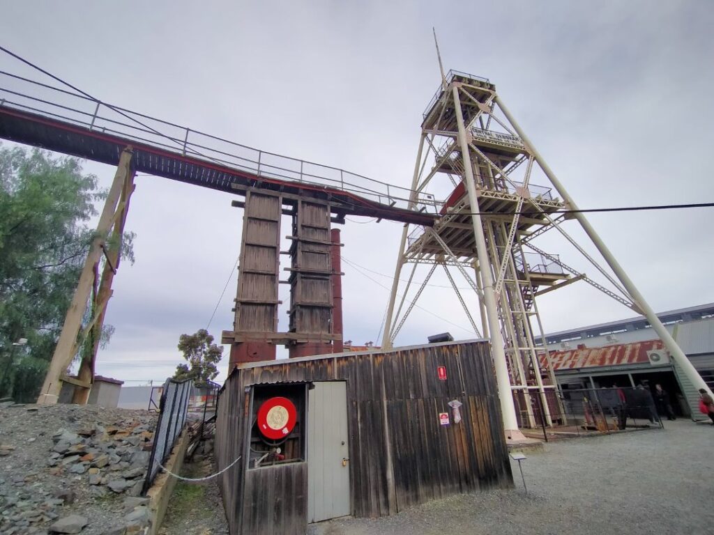
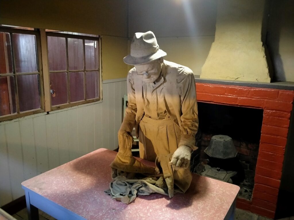
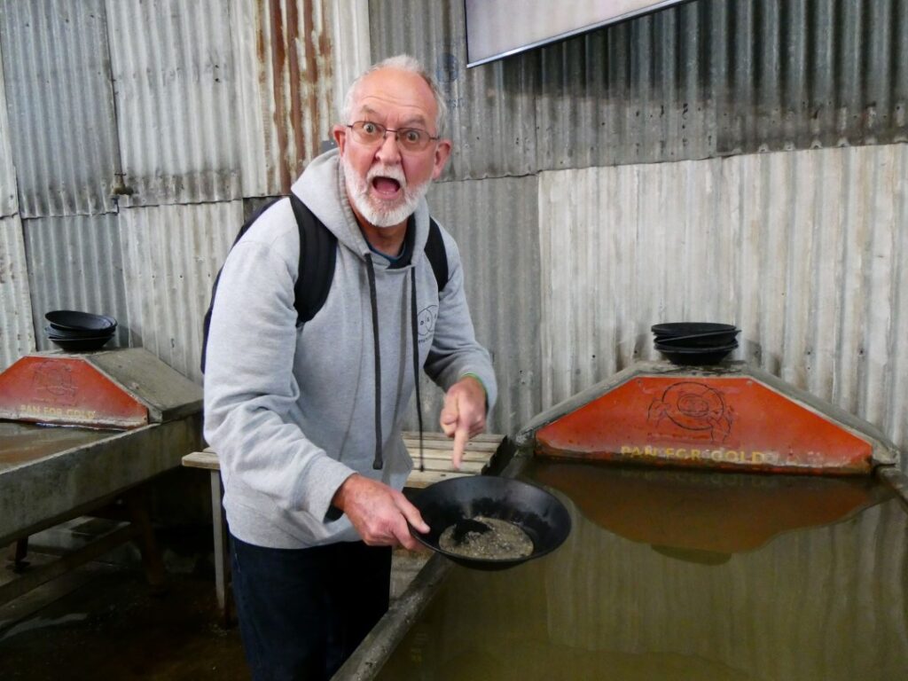
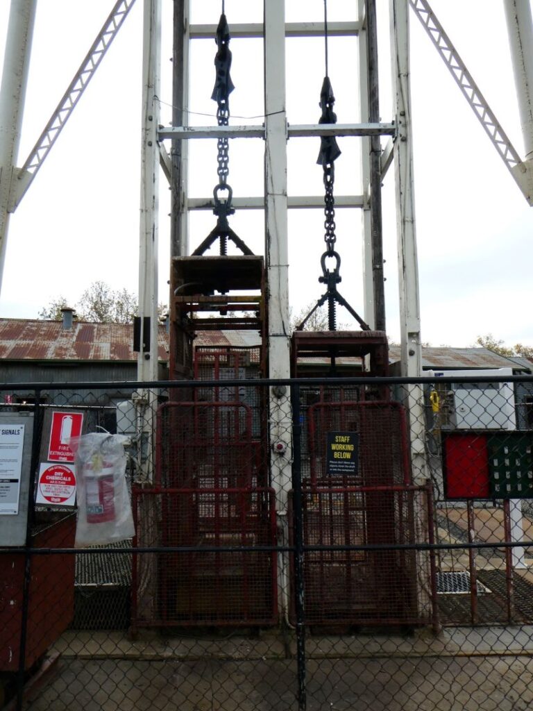
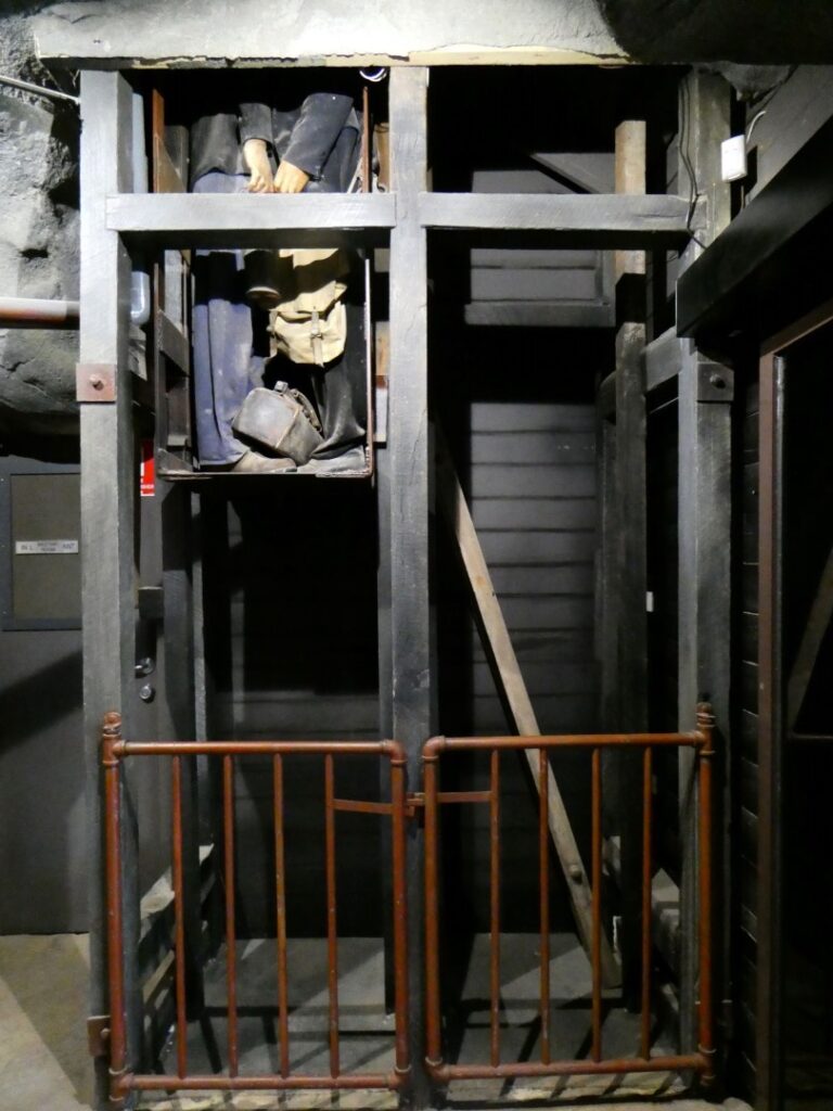
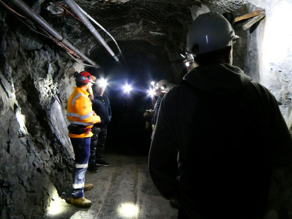
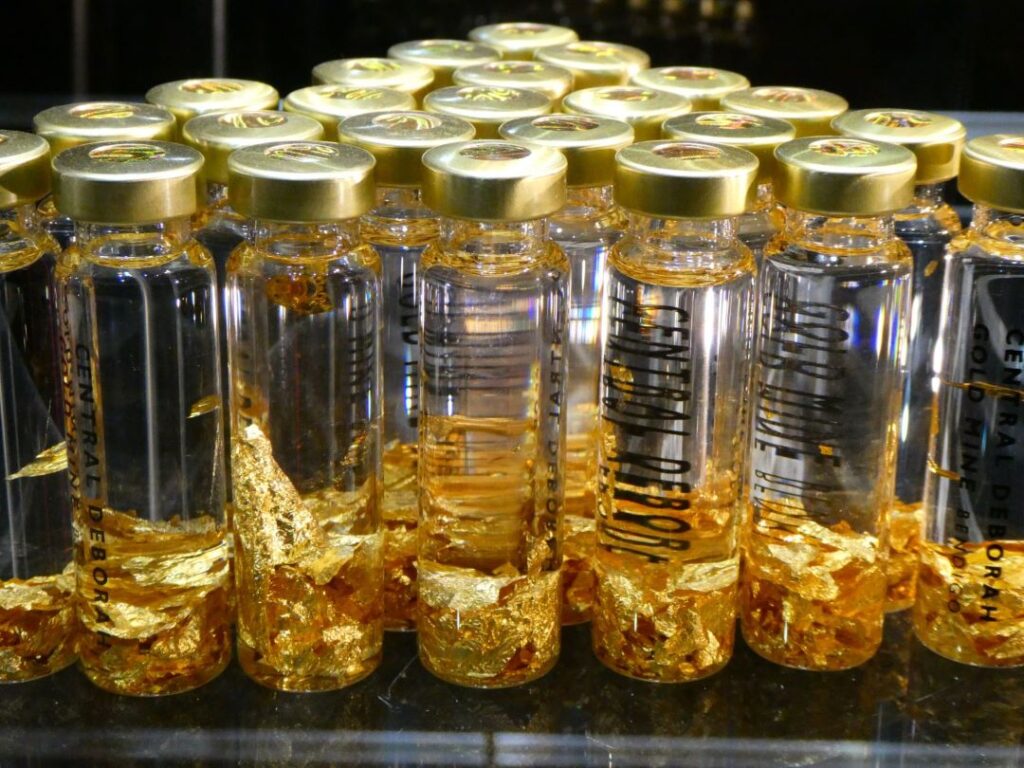
Rain had set in overnight so we decided to stay in Bendigo for a further night, as we still had time up our sleeve before we needed to return to Melbourne. The day would be damp and cool, but by the afternoon the drizzle had stopped altogether. In the morning we visited the arts centre, better known as the Bendigo Pottery Complex. Pottery is still made here but a number of older buildings in the complex now house local artists working in other mediums. There is a small café and sales area in the building where the original furnaces still reside. There is also a large area in this building that houses over 20 antique stalls selling ornamental menageries from the last 100 years or so! Some may be considered as junk and it’s hard to know as time passes how many people remain interested in even the apparently ‘valuable’ items. For someone our age it was fascinating to view nonetheless, with many items in the LED lit glass cabinets being ones we once employed in every day use. Sobering that these are now collectible relics!
We spent some time in the studio/workshop of Yvonne George, a NZ ex-pat working in various mediums and producing some stunning work. She had recently returned from a visit to NZ she informed us, as she worked away on a commission sculpture of a dog. We watched a potter at work on the wheel creating hand made bowls in a sort of ‘mass production’ role. In another studio an older women showed us how she created glass beads, although we didn’t purchase any after her detailed presentation. Still everything we saw here was food for Debbie’s creative mind!
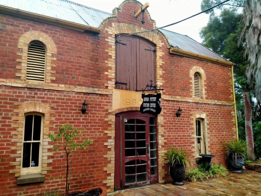
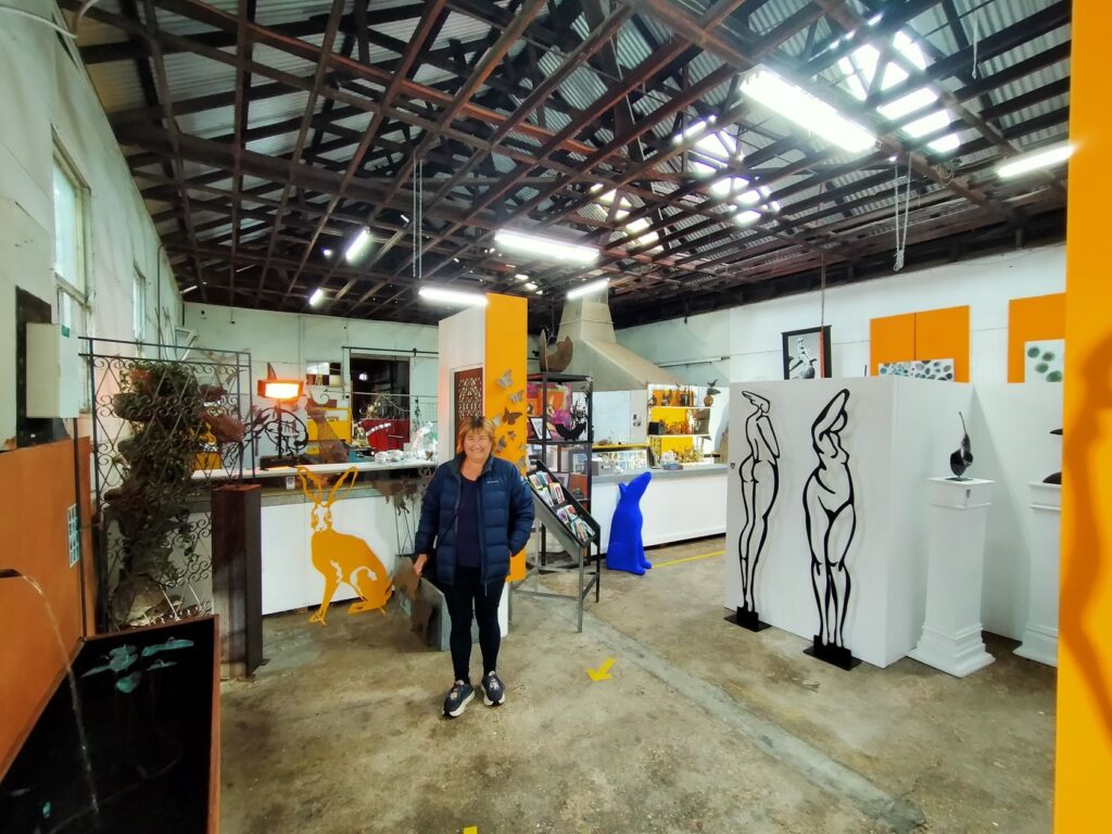
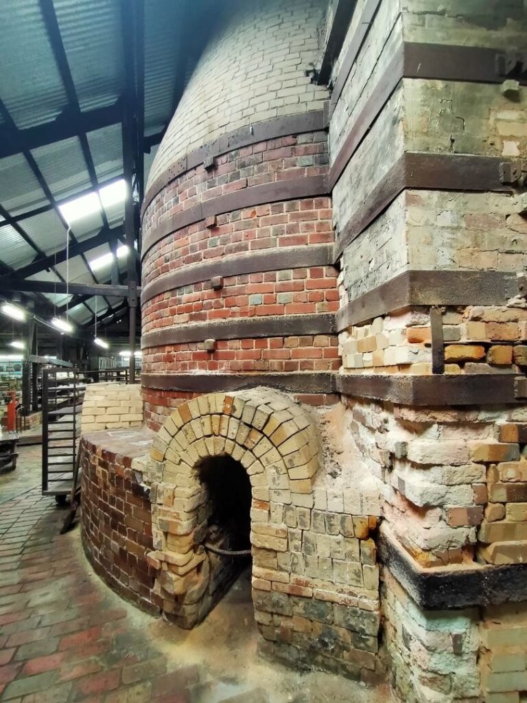

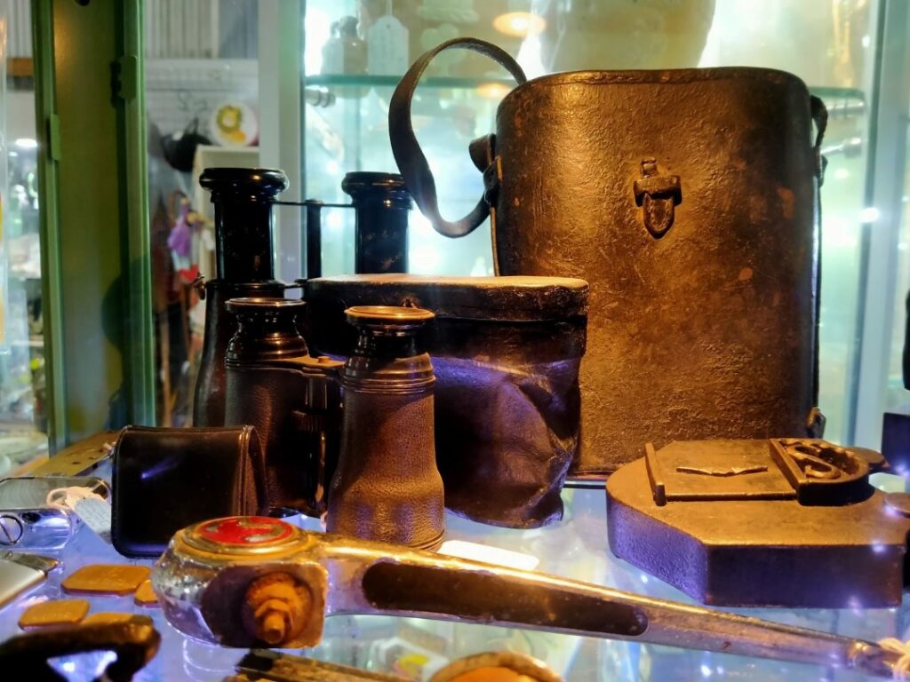
Our afternoon excursion took us 20 km outside of town to ‘The Great Stupa of Universal Compassion’, an iconic Buddhist monument. We had a vegetarian lunch at the small café there before watching a short introductory video presentation on the history of the building of this Stupa. The land on which it sits and a large surrounding area was gifted by the landowner’s family for the purpose. The Stupa’s visit is entirely free and open to the public, although donations are encouraged and there are various items of relevance for sale.
The Stupa itself is far from finished and there is a master plan to include a village, hotel, restaurant, interpretative centre and aged care facility. A monastery was established here along with a nunnery and Retreat Centre back in 1981. The Stupa itself is 50 m square at the base and 50 m in height making it the largest Stupa in the western world. It is of the same design as the Gyantse Stupa in Tibet, which is one of the treasures of the Buddhist world.
There is a walk from the entrance building/café to the Stupa which passed displaying many significant Buddhist and other religious elements. The Stupa is six levels in height with a huge hall on the ground floor 15 m high, the only space the public can currently access. Even this area is very much a work in progress, but is already displaying a magnificence that belies an institution that contains many individuals of self deprivation. Buddhist statues are the prominent feature in this hall, with the most famous here the ‘Jade Buddha of Universal Peace’. This Buddha is the world’s largest Buddha carved from gemstone grade jade. It weighs 4 tonne and was carved from a single 18 tonne jade boulder, the largest ever found in gem quality. The carving was completed in 2008 and for the next nine years it travelled the world. It is considered to be priceless. There is also a vast selection of sacred Asian relics and statues on display. Even though the building itself is incomplete it is difficult to not be in awe of what exists here already.
The building is designed to last 1000 years, but only the test of ages will prove if this is so! We took a brief tour with one of the Monks, an ex-pat NZ’er from Christchurch who converted to Buddhism in his late teenage years after seeing one on the street there whilst walking with his mother, to whom he said “I’m going to be a Buddhist!”. The rest is history. We bought a small book on Buddhism to see if we could understand some of the underlying philosophy here. Like the Stupa, that’s still a work in progress! They run many events for the public and hold religious celebrations of many denominations. Overall our day was filled with elements of history and new learnings. So goes the travelled mind.
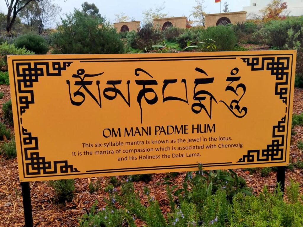
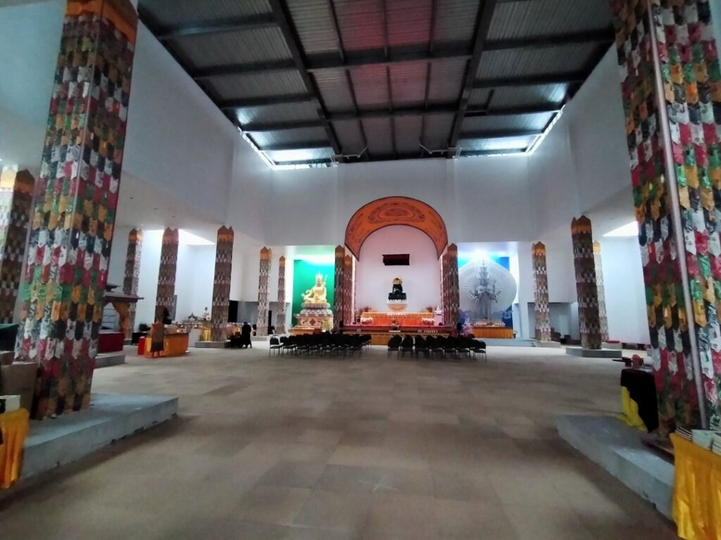
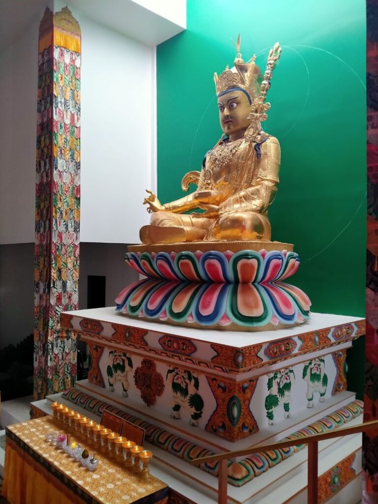
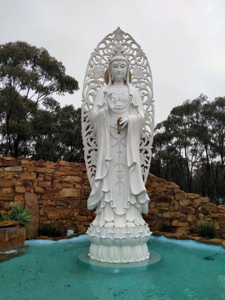
Almost everyone we met in Bendigo who realised we were visitors felt sure we were in town for the Elvis exhibition. Of course we knew nothing about it until we reached Bendigo, but it was a huge event as the exhibition had the original memorabilia there from Graceland. It was tempting to attend and we were certainly encouraged by the locals to, but we stuck to viewing local sights, which fully filled our two night stopover there. On the morning of departure Debbie wanted a gelato from Favourite Flavours (recommended by someone in Bendigo!), which just happened to be directly opposite Lake Weeroona, a picturesque lake, boardwalk and park right in the main street of town. The rain had mainly subsided, althpough it was cool and autumn colours were mainly on the ground now. We did the perimeter walk of the lake while Debbie dealt with her ice cream. It was certainly a popular spot with walkers of all shapes and sizes and obviously also the local racing canoe/kayak club, which had clubrooms and lanes marked on the lake.

KILMORE (27/05/22)
This would be our last night on the road as we would return to Melbourne tomorrow and spend a couple of nights in a hotel before heading back to New Zealand. We stopped at Heathcote en route for quick stroll down the main street and to grab pasties and cakes (a ‘hedgehog’ for me) for lunch. We passed through lush green countryside and more ‘kangaroo zones’, but only saw dead ones on the roadside! It was 100 kms to Kilmore from Bendigo down the B75. Kilmore was a purely random selection of possible towns to stay in, but happened to be the oldest inland town in Victoria if that is of any great note. We stayed at the Kilmore Caravan Park at the northern end of town on the B75 (A$44.00 per night), somewhat dated but adequate facilities, an outdoor kitchen and flat camp sites on gravel beneath mature trees.
Kilmore was larger than I had imagined with some new subdivisions sprouting on the outskirts of town, no doubt due to its proximity (65 km north) from highly populated Melbourne. We had a good wander around town discovering by accident the old gaol, which was now a café. We would return here in the morning as a look around the old gaol was possible if you bought a coffee. There were a few other notable buildings in town – the old Post Office and adjacent Courthouse; the Town Hall built in 1884 and featuring a decorative façade and enormous Corinthian pillars. We finished off the day with a brief lounge in our deck chairs as the sun popped its head out, before a home made dinner in an attempt to deplete our remaining food stocks.
KILMORE TO MELBOURNE (28/05/22)
We completed our last night’s sleep in the campervan successfully, but I was really looking forward to being able to fully stretch my legs out in a hotel room tonight. We borrowed the toaster from the camp kitchen so we could cook ourselves a lavish breakfast of vegemite on toast. We then returned to the old Kilmore Gaol café for a coffee so that we could be ‘legitimate’ customers and consequently tour the old gaol. It was quite busy and even before we had a coffee we were able to walk out into the courtyard of the old gaol. Whereas great fortune would have it we ran into the owner of the whole complex. She was very friendly and extremely passionate about the restoration of it all. She proceeded to give us a private tour complete with a dialogue of the history of the place, including the closure of the gaol and its subsequent use as a butter factory! She said that many people thought that Ned Kelly was once imprisoned here, but in fact it was his father, who was jailed for 3 months after he couldn’t pay the fine for being convicted of being in possession of someone else’s cows! There is only one original cell left after the butter factory decimated the buildings and the restoration project looked to us like it might take longer than a murder sentence! Still we admired her passionate fortitude in getting this far. We bought two hot drinks to say we were customers and left for Melbourne.

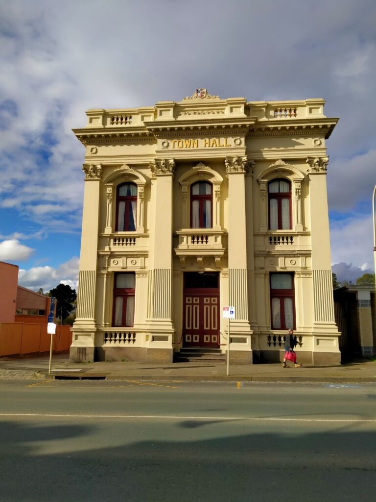
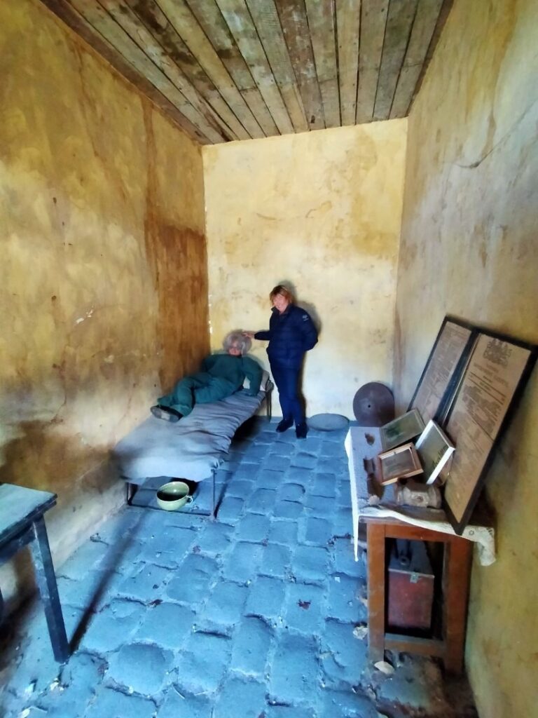
The final ‘hurrah’ brought us to our daughter’s house in Melbourne where we unloaded all our worldly possessions into our suitcases and offloaded as much food and goodies as our daughter could handle. We would drop the campervan back to Bill the following day where, as agreed we recovered half the cost (A$100.00) of the loose fitout we provided for the vehicle. We pointed out a number of pitfalls with the vehicle that he might wish to look at, breathed a sigh of relief and asked ourselves if we really just did that trip in that vehicle! Yes, and it was epic in hindsight!!
BY THE NUMBERS
Days Travelled – 35
Total Km’s – 6032
Total Fuel Cost – A$1725.76
Total Cost of Campgrounds – A$1244 or A$35.54 per night
Campervan Hire Cost – A$2820.59